|
The village of Ambrugeat is a small village located center of France. The town of Ambrugeat is located in the department of Corrèze of the french region Limousin. The town of Ambrugeat is located in the township of Meymac part of the district of Ussel. The area code for Ambrugeat is 19008 (also known as code INSEE), and the Ambrugeat zip code is 19250.
Geography and map of Ambrugeat :
The altitude of the city hall of Ambrugeat is approximately 650 meters. The Ambrugeat surface is 29.57 km ². The latitude and longitude of Ambrugeat are 45.527 degrees North and 2.117 degrees East.
Nearby cities and towns of Ambrugeat are :
Meymac (19250) at 2.50 km, Davignac (19250) at 4.99 km, Maussac (19250) at 6.41 km, Combressol (19250) at 6.69 km, Péret-Bel-Air (19300) at 7.91 km, Saint-Angel (19200) at 9.33 km, Soudeilles (19300) at 9.47 km, Alleyrat (19200) at 9.66 km.
(The distances to these nearby towns of Ambrugeat are calculated as the crow flies)
Population and housing of Ambrugeat :
The population of Ambrugeat was 219 in 1999, 209 in 2006 and 208 in 2007. The population density of Ambrugeat is 7.03 inhabitants per km². The number of housing of Ambrugeat was 277 in 2007. These homes of Ambrugeat consist of 104 main residences, 169 second or occasional homes and 5 vacant homes. |
|
|
Hotel Ambrugeat
|
|
|
Book now ! Best Price Guaranteed, no booking fees, pay at the hotel with our partner Booking.com, leader in online hotel reservation.
Find all hotels of Ambrugeat : Hotel Ambrugeat
| |
|
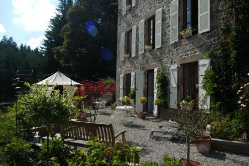
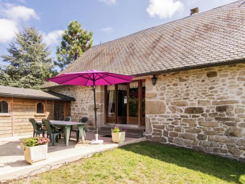
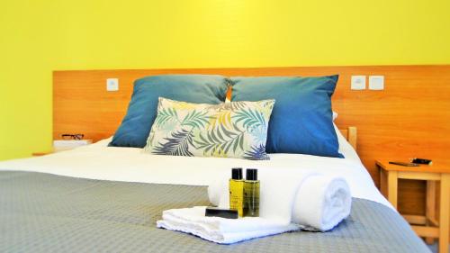
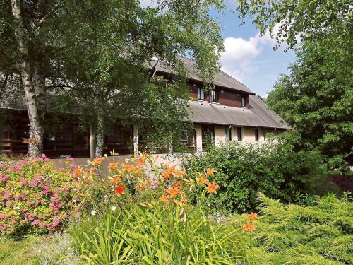
Bed and Breakfast : Chambres d'hôtes Le Moulin des Farges
In a tree-lined valley in the Corrèze region, Chambres d'hôtes Le Moulin des Farges offers an outdoor swimming pool, a well-kept garden, 5 bedrooms spread over 3 floors, and fre...
Rate : from 62.00 €
to 75.00 €
Address : Le Moulin des farges 19250 Meymac
Distance Bed and Breakfast - Ambrugeat : 2.30 km
|
|
|
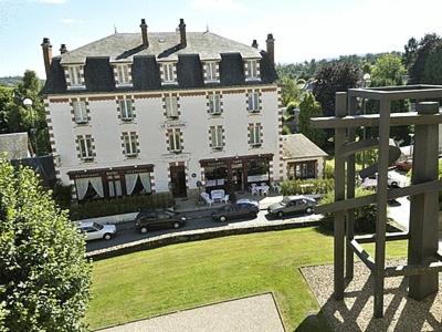
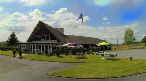
Hotel : Le Limousin

Le Limousin is a hotel located in the town of Meymac, in Correze. It offers guestrooms with free Wi-Fi and satellite TV. Le Limousin’s restaurant offers traditional French cui...
Price : from 57.00 €
to 81.00 €
Contact : 76 avenue limousine 19250 Meymac
Distance Hotel - Ambrugeat : 2.54 km
|
|
|
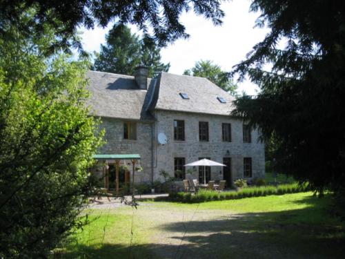
Guest accommodation : Maison De Vacances - Ambrugeat La Sagne 1
Located in Meymac, Maison De Vacances - Ambrugeat La Sagne 1 offers accommodation with a terrace and free WiFi. This holiday home has a garden. The holiday home features 4 bedr...
Contact : 19250 Meymac
Distance Guest accommodation - Ambrugeat : 3.01 km
|
|
|
Guest accommodation : Maison De Vacances - Ambrugeat La Sagne 2
Maison De Vacances - Ambrugeat La Sagne 2 is situated in Meymac and offers barbecue facilities and a garden. Guests staying at this holiday home have access to a fully equipped ...
Contact : 19250 Meymac
Distance Guest accommodation - Ambrugeat : 3.01 km
|
|
|
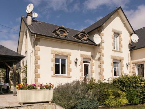
Hotel : Hotel Europa
Offering a restaurant with a terrace, this hotel is located in the heart of the Limousin countryside, just a 5-minute drive from the A89 motorway. Free Wi-Fi and free private pa...
Price : from 63.00 €
to 90.00 €
Address : Le Poteau RN 89 19250 Maussac
Distance Hotel - Ambrugeat : 7.04 km
|
|
|
Guest accommodation : Village Vacances Le Lac
Set by a lake, Village Vacances Le Lac is a 5-minute drive from the centre of Égletons. It offers a fitness room and self-catering accommodation with free Wi-Fi. Free canoes, ka...
Contact : BP 52 19300 Égletons
Distance Guest accommodation - Ambrugeat : 12.56 km
|
|
|
Bed and Breakfast : Chambres d'Hôtes Le Pont
Located 1 km from the lively village of Égletons and behind the lake, Chambres d’Hôtes Le Pont features a large, furnished garden and 2 terraces. You can play board games in th...
Contact : 3, Le pont d'Égletons 19300 Égletons
Distance Bed and Breakfast - Ambrugeat : 12.85 km
|
|
|
Set next to Deiro Lake, 5 km from Ventadour Castle, ibis egletons has a 24-hour reception, a bar, restaurant, soundproofed rooms and free Wi-Fi throughout. The rooms all have ...
Price : from 64.00 €
to 85.00 €
Contact : RD 1089 19300 Égletons
Distance Hotel - Ambrugeat : 12.94 km
|
|
|
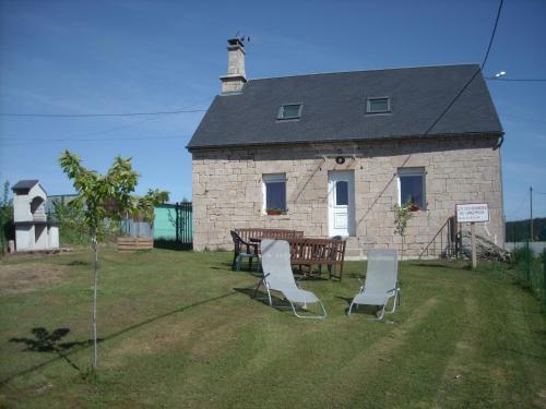
Guest accommodation : La Côte
Featuring a garden, La Côte features accommodation in Saint-Merd-les-Oussines with free WiFi and garden views. Guests have a private terrace. With 3 bedrooms, this holiday home...
Address : La Côte 19170 Saint-Merd-les-Oussines
Distance Guest accommodation - Ambrugeat : 13.32 km
|
|
|
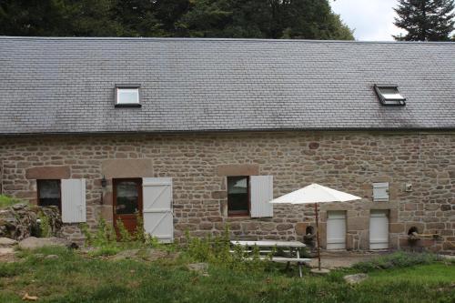
Guest accommodation : Gîte des Tourbières du Longeyroux

Located in Bonnefond in the Limousin region, Gîte des Tourbières du Longeyroux has a terrace. It features barbecue facilities, a garden, garden views and free WiFi. The holiday...
Rate : from 40.00 €
Contact : 51 La Nouaille 19170 Bonnefond
Distance Guest accommodation - Ambrugeat : 13.67 km
|
|
Find another hotel near Ambrugeat : Ambrugeat hotels list
|
Map of Ambrugeat
|
|
Map of Ambrugeat :
At right you can find the localization of Ambrugeat on the map of France. Below, this is the satellite map of Ambrugeat. A road map, and maps templates of Ambrugeat are available here : "road map of Ambrugeat". This map show Ambrugeat seen by the satellite of Google Map. To see the streets of Ambrugeat or move on another zone, use the buttons "zoom" and "map" on top of this dynamic map.
Search on the map of Ambrugeat :
To search hotels, housings, tourist information office, administrations or other services, use the Google search integrated to the map on the following page : "map Ambrugeat".
Hotels of Ambrugeat are listed on the map with the following icons: 
The map of Ambrugeat is centred in the following coordinates :
|

|
|
|
|
Print the map of Ambrugeat

Print the map of Ambrugeat : map of Ambrugeat
|
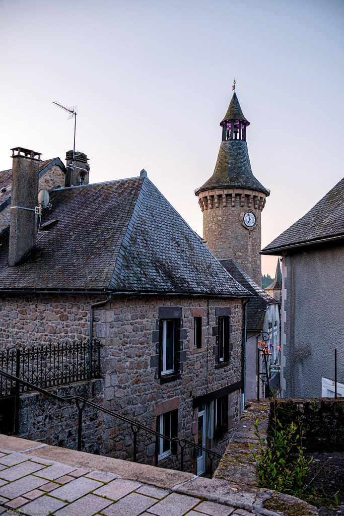
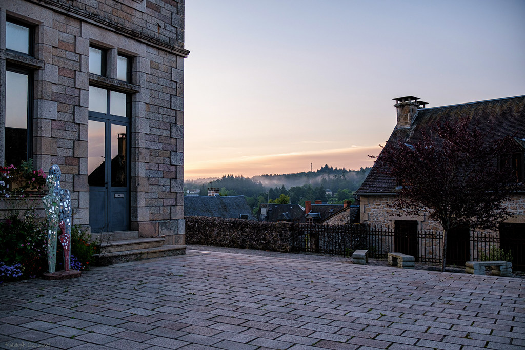
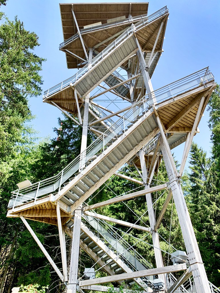
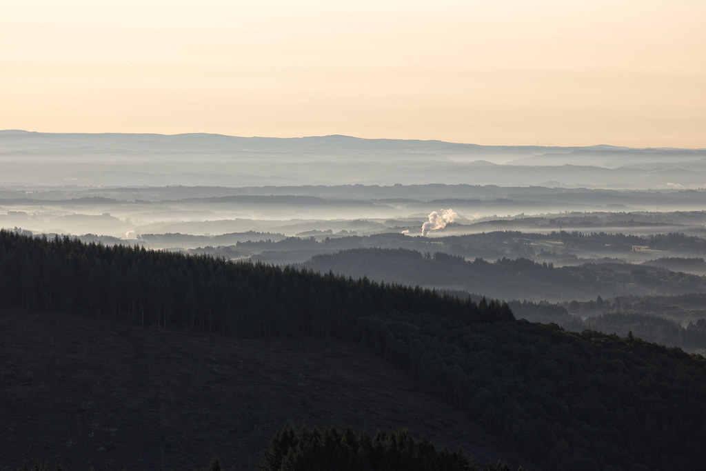
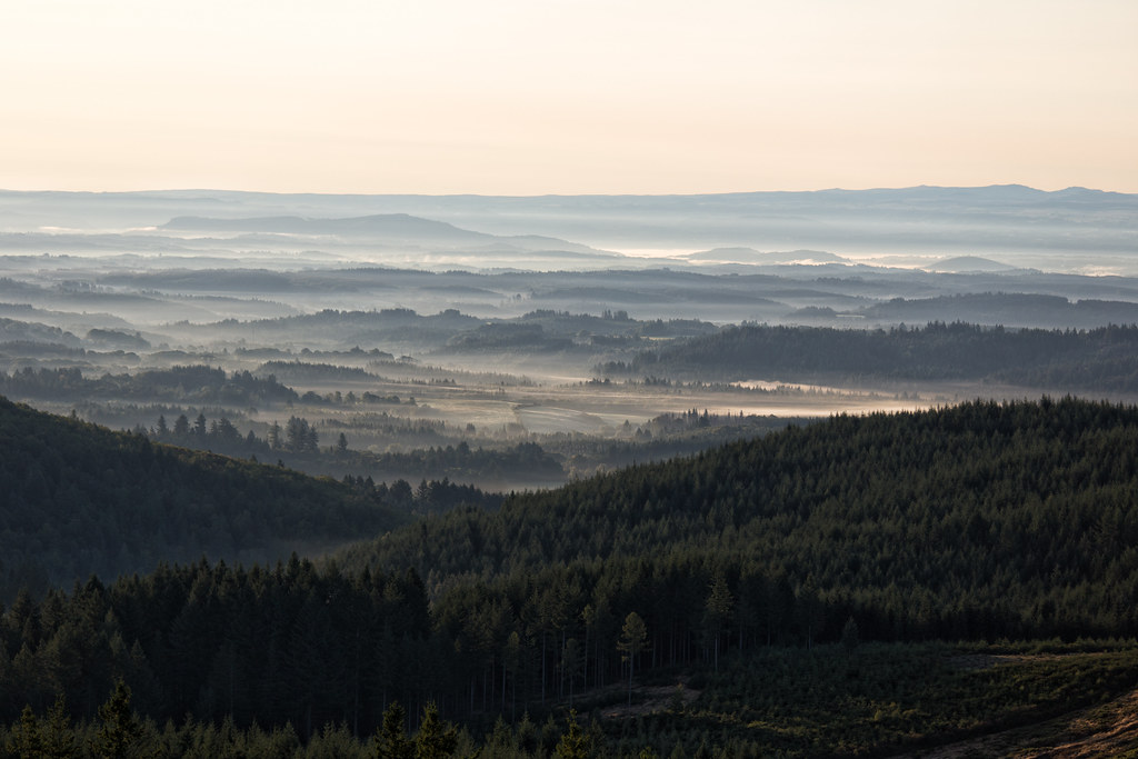
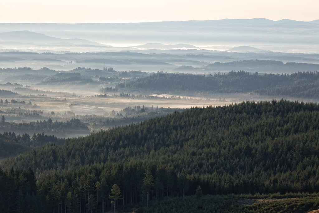
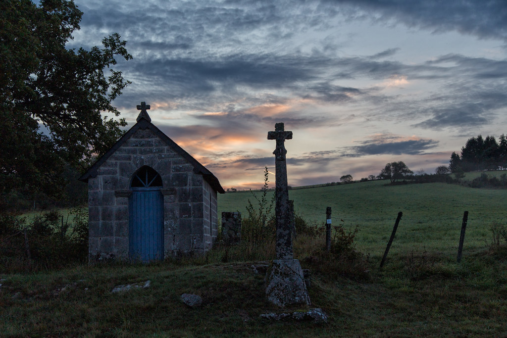
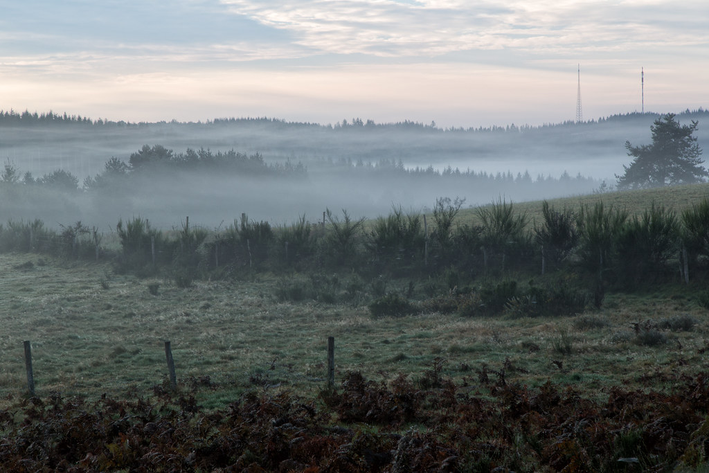
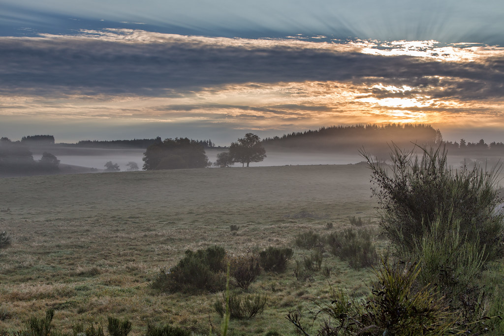
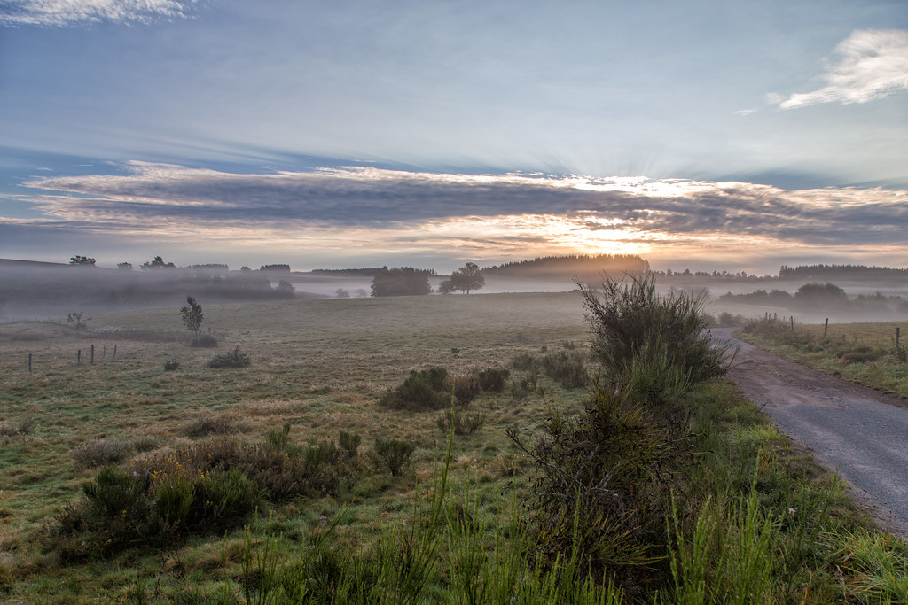
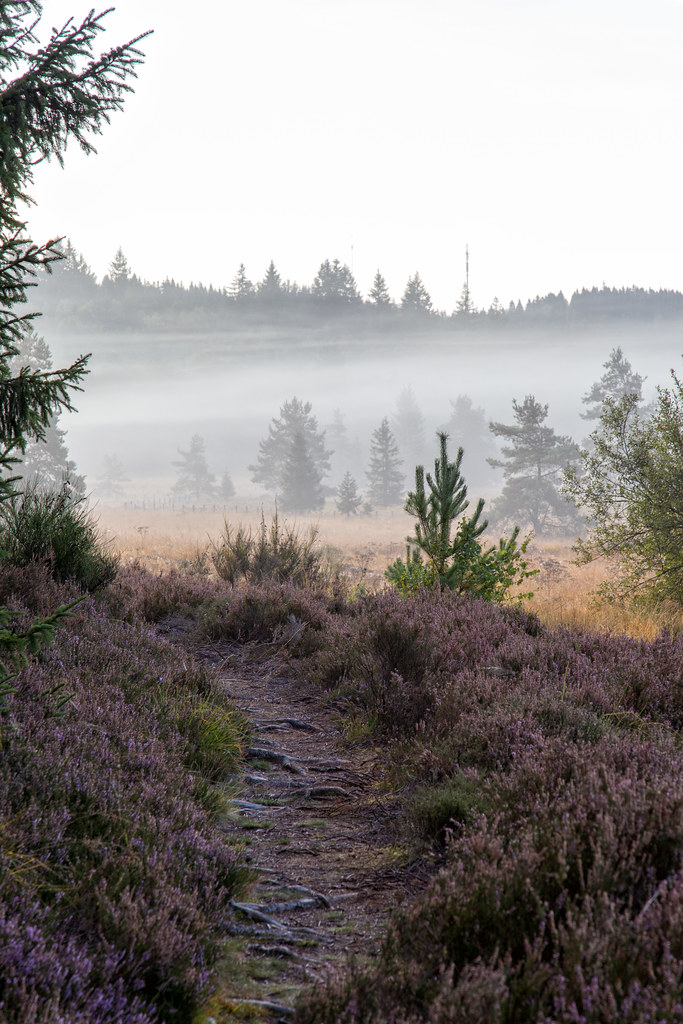
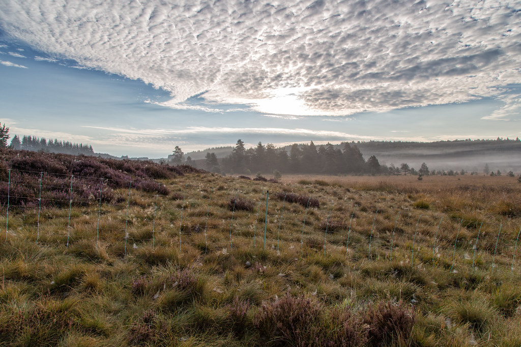
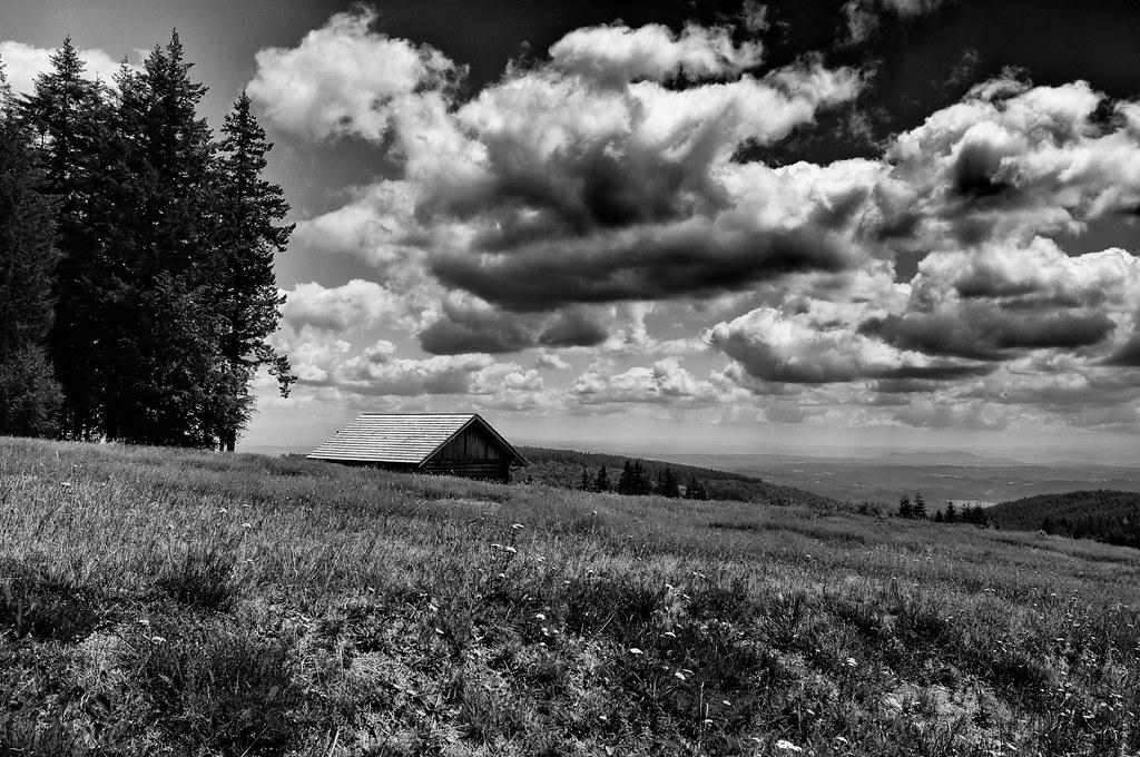
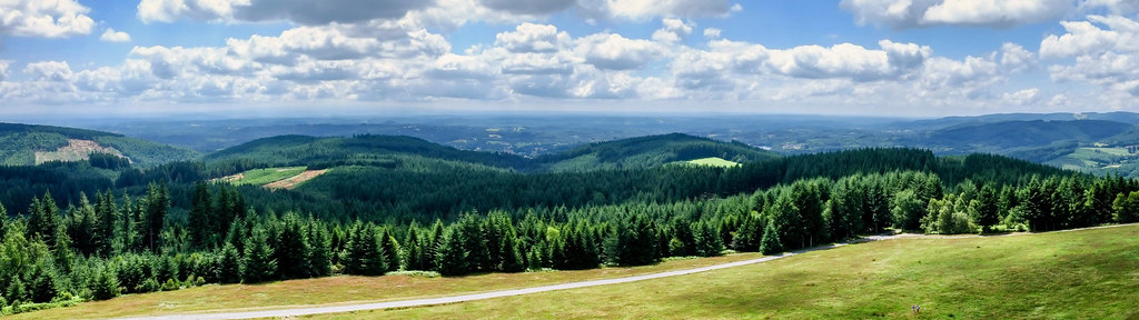
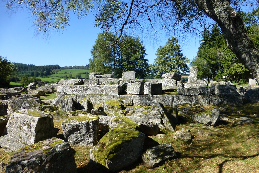
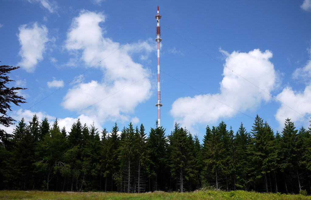
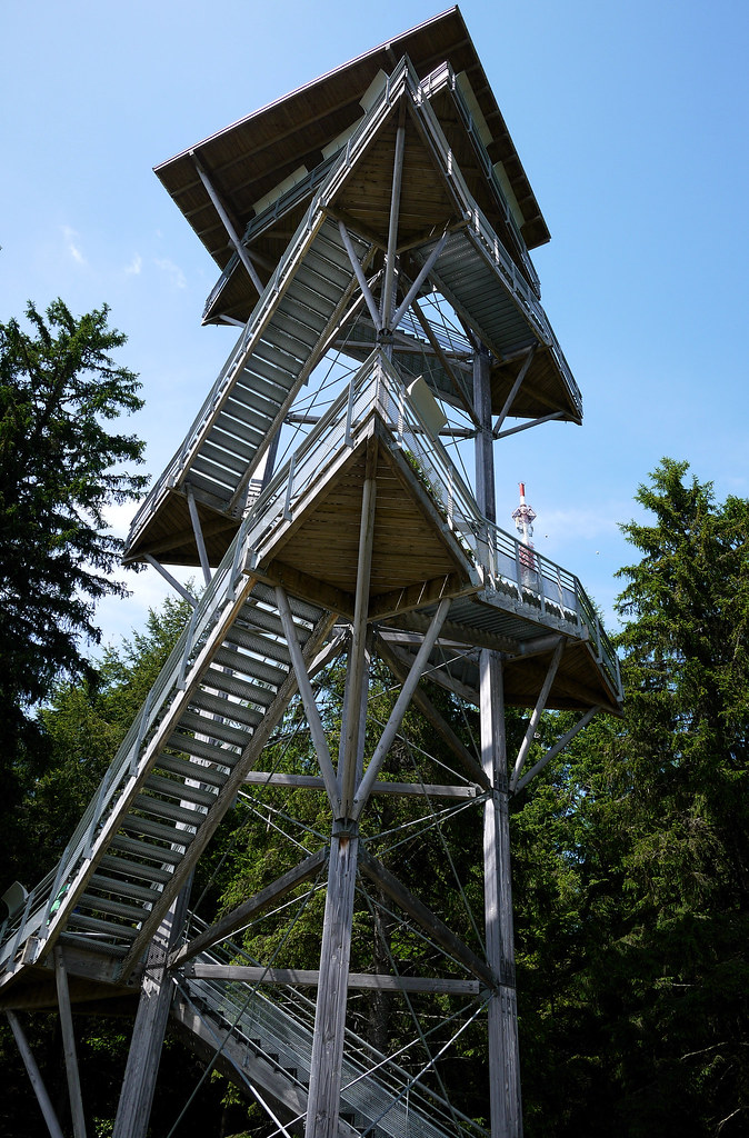
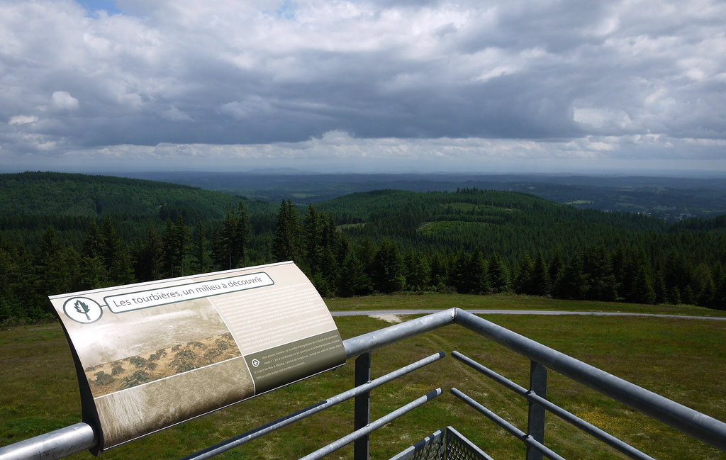
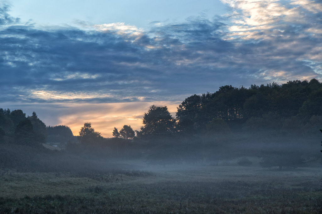
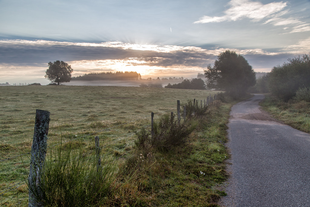
Photos Ambrugeat
|
See all photos of Ambrugeat :
Other photos of Ambrugeat and nearby towns can be found here: photos Ambrugeat
|
|
Ambrugeat weather forecast
Find next hours and 7 days weather forecast for Ambrugeat here : weather Ambrugeat (with english metrics)
This is the last weather forecast for Ambrugeat collected by the nearest observation station of Meymac.
Week Forecast:
The latest weather data for Ambrugeat were collected Wednesday, 24 April 2024 at 17:00 from the nearest observation station of Meymac.
| Wednesday, April 24th |
8°C -1°C
28%
90%
|
Mostly cloudy
Temperature Max: 8°C Temperature Min: -1°C
Precipitation Probability: 28% (Rain)
Percentage of sky occluded by clouds: 90%
Wind speed: 10 km/h South-East
Humidity: 73%° UV Index: 3
Sunrise: 06:50 Sunset: 20:50 |
|
| | Thursday, April 25th |
9°C 3°C
66%
94%
|
Drizzle
Temperature Max: 9°C Temperature Min: 3°C
Precipitation Probability: 66% (Rain)
Percentage of sky occluded by clouds: 94%
Wind speed: 9 km/h North-East
Humidity: 85%° UV Index: 3
Sunrise: 06:48 Sunset: 20:51 |
|
| | Friday, April 26th |
11°C 4°C
69%
90%
|
Rain
Temperature Max: 11°C Temperature Min: 4°C
Precipitation Probability: 69% (Rain)
Percentage of sky occluded by clouds: 90%
Wind speed: 11 km/h North-East
Humidity: 82%° UV Index: 3
Sunrise: 06:46 Sunset: 20:52 |
|
| | Saturday, April 27th |
13°C 5°C
62%
94%
|
Rain
Temperature Max: 13°C Temperature Min: 5°C
Precipitation Probability: 62% (Rain)
Percentage of sky occluded by clouds: 94%
Wind speed: 21 km/h North
Humidity: 73%° UV Index: 3
Sunrise: 06:45 Sunset: 20:53 |
|
|
Attribution: 
|
|
Other maps, hotels and towns in france
Find another town, zip code, department, region, ...
Quick links Ambrugeat :
Make a link to this page of Ambrugeat with the following code :
|
|
|
 French Version : http://www.cartesfrance.fr/carte-france-ville/19008_Ambrugeat.html