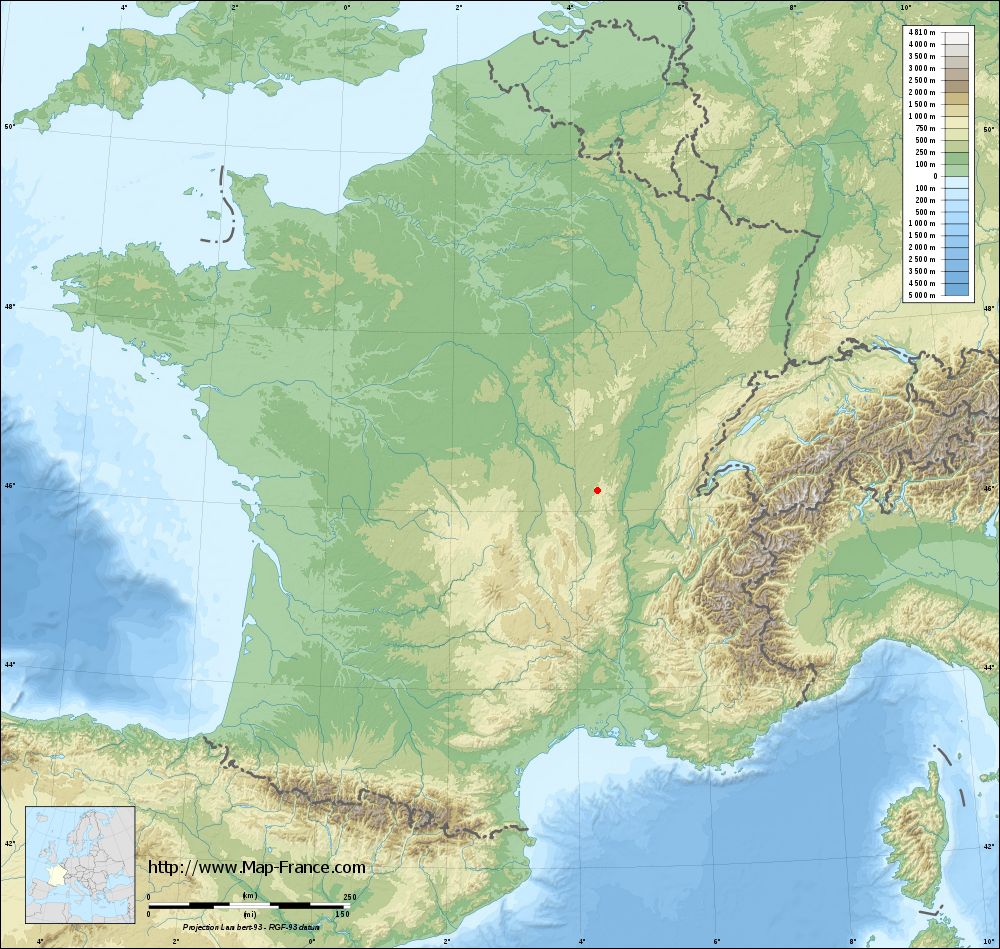
Anglure-sous-Dun on the relief France map in Lambert 93 coordinates
|

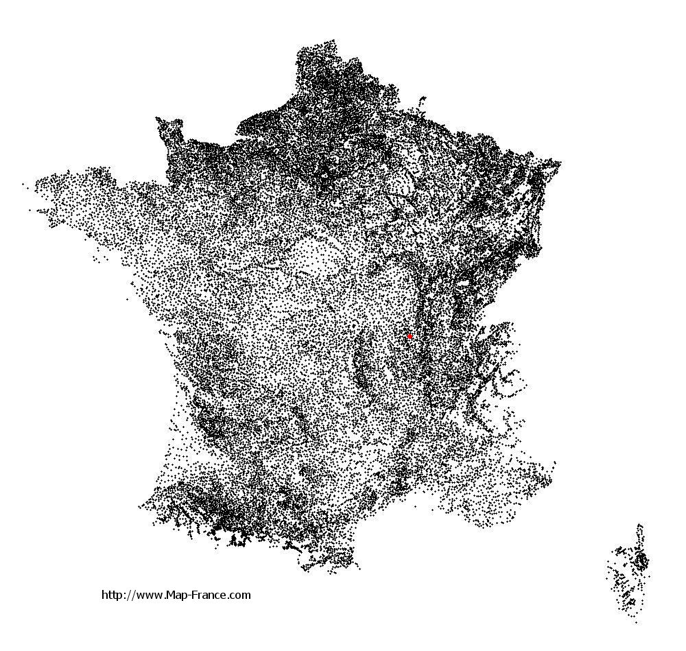
See the map of Anglure-sous-Dun in full screen (1000 x 949)
|
At left, here is the location of Anglure-sous-Dun on the relief France map in Lambert 93 coordinates.
Here are the altitudes of Anglure-sous-Dun :
- Town hall altitude of Anglure-sous-Dun is 400 meters
- Minimum altitude of Anglure-sous-Dun is 373 meters
- Maximum altitude of Anglure-sous-Dun is 601 meters
- Medium altitude of Anglure-sous-Dun is 487 meters
Here are the altitudes of Mâcon, prefecture of Saône-et-Loire department:
- Town hall altitude of Mâcon is 190 meters
- Minimum altitude of Mâcon is 167 meters
- Maximum altitude of Mâcon is 347 meters
- Medium altitude of Mâcon is 257 meters
Here are the altitudes of the french biggest cities:
Paris : 33 meters
Marseille : 20 meters
Lyon : 237 meters
Toulouse : 146 meters
Nice : 10 meters
Nantes : 20 meters
Strasbourg : 144 meters
Montpellier : 35 meters
Bordeaux : 16 meters
Lille : 20 meters
Rennes : 35 meters
Reims : 83 meters
Click here for the terrain map of Anglure-sous-Dun in full screen:
Relief map of Anglure-sous-Dun
|
This relief map of Anglure-sous-Dun is reusable and modifiable by making a link to this page of the Map-France.com website or by using the given code :
|
Terrain base map of Anglure-sous-Dun
|
See the terrain base map of Anglure-sous-Dun in full screen (1000 x 949)
|
Small relief base map of Anglure-sous-Dun

|
This base map of Anglure-sous-Dun is reusable and modifiable by making a link to this page of the Map-France.com website or by using the given code :
|
Map of Anglure-sous-Dun with regions and prefectures
|
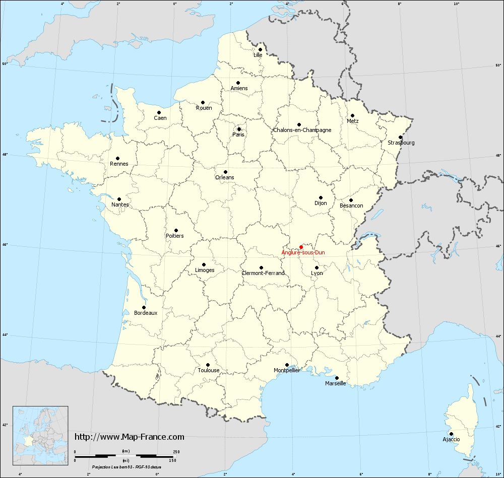
View the map of Anglure-sous-Dun in full screen (1000 x 949)
|
You will find the location of Anglure-sous-Dun on the map of France of regions in Lambert 93 coordinates. The town of Anglure-sous-Dun is located in the department of Saône-et-Loire of the french region Bourgogne.
Geographical sexagesimal coordinates / GPS (WGS84):
Latitude: 46° 13' 57'' North
Longitude: 04° 21' 38'' East
Geographical decimal coordinates :
Latitude: 46.232 degrees (46.232° North)
Longitude: 4.361 degrees (4.361° East)
Lambert 93 coordinates :
X: 8 048 hectometers
Y: 65 712 hectometers
Lambert 2 coordinates :
X: 7 561 hectometers
Y: 21 389 hectometers
Below, the geographical coordinates of Mâcon, prefecture of the Saône-et-Loire department:
Geographical sexagesimal coordinates / GPS (WGS84):
Latitude: 46° 18' 24'' North
Longitude: 04° 49' 55'' East
Geographical decimal coordinates :
Latitude: 46.308 degrees (46.308° North)
Longitude: 4.831 degrees (4.831° East)
Lambert 93 coordinates :
X: 8 410 hectometers
Y: 65 802 hectometers
Lambert 2 coordinates :
X: 7 922 hectometers
Y: 21 482 hectometers
|
This map of Anglure-sous-Dun is reusable and modifiable by making a link to this page of the Map-France.com website or by using the given code :
|
Map of Anglure-sous-Dun with departments and prefectures
|
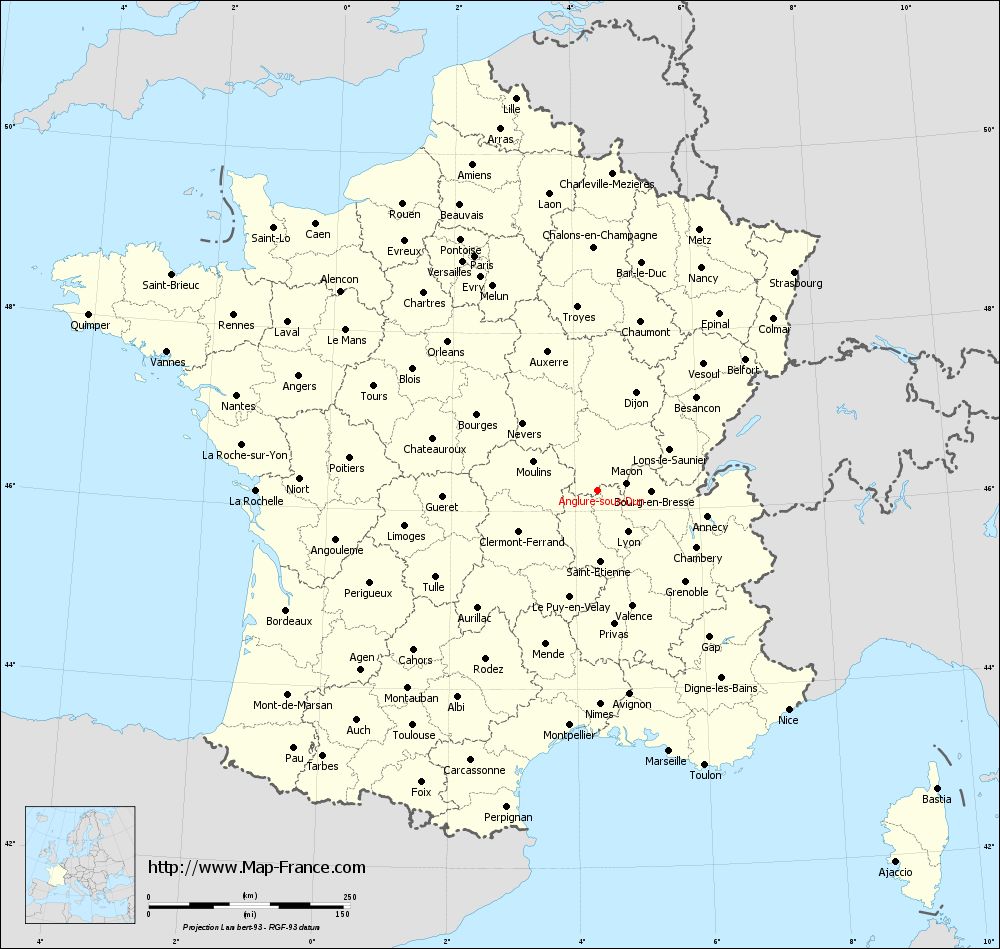
Voir la carte of Anglure-sous-Dun en grand format (1000 x 949)
|
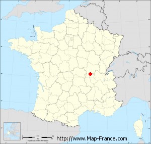
Here is the localization of Anglure-sous-Dun on the France map of departments in Lambert 93 coordinates. The city of Anglure-sous-Dun is shown on the map by a red point.
The town of Anglure-sous-Dun is located in the department of Saône-et-Loire of the french region Bourgogne.
The latitude of Anglure-sous-Dun is 46.232 degrees North.
The longitude of Anglure-sous-Dun is 4.361 degrees East.
Here the distance between Anglure-sous-Dun and the biggest cities of France:
Distances are calculated as the crow flies (orthodromic distance)
Distance between Anglure-sous-Dun and Paris : 328.83 kilometers
Distance between Anglure-sous-Dun and Marseille : 336.17 kilometers
Distance between Anglure-sous-Dun and Lyon : 63.95 kilometers
Distance between Anglure-sous-Dun and Toulouse : 371.36 kilometers
Distance between Anglure-sous-Dun and Nice : 361.57 kilometers
Distance between Anglure-sous-Dun and Nantes : 463.52 kilometers
Distance between Anglure-sous-Dun and Strasbourg : 365.29 kilometers
Distance between Anglure-sous-Dun and Montpellier : 293.94 kilometers
Distance between Anglure-sous-Dun and Bordeaux : 413.87 kilometers
Distance between Anglure-sous-Dun and Lille : 497.96 kilometers
Distance between Anglure-sous-Dun and Rennes : 501.46 kilometers
Distance between Anglure-sous-Dun and Reims : 337.12 kilometers
Clic here to see the map of Anglure-sous-Dun in full screen:
Anglure-sous-Dun on the map of french departments
|
This administrative map of Anglure-sous-Dun is reusable and modifiable by making a link to this page of the Map-France.com website or by using the given code :
|
Administrative base maps of Anglure-sous-Dun
|

See the administrative base map of Anglure-sous-Dun in full screen (1000 x 949)
|
Small administrative base map of Anglure-sous-Dun
|
This base map administrative of Anglure-sous-Dun is reusable and modifiable by making a link to this page of the Map-France.com website or by using the given code :
|
 French Version : http://www.cartesfrance.fr