|
|
|
|
|
|
Arboras pictures
|
|
|
|
Photos of the town of Arboras
|
These photos taken near the town of Arboras can be shown in full screen clicking on the thumbnails. Photos are copyrighted by their owners.
| | |

2022.08 Costa dels Volcans (AlbAma) (20)
|

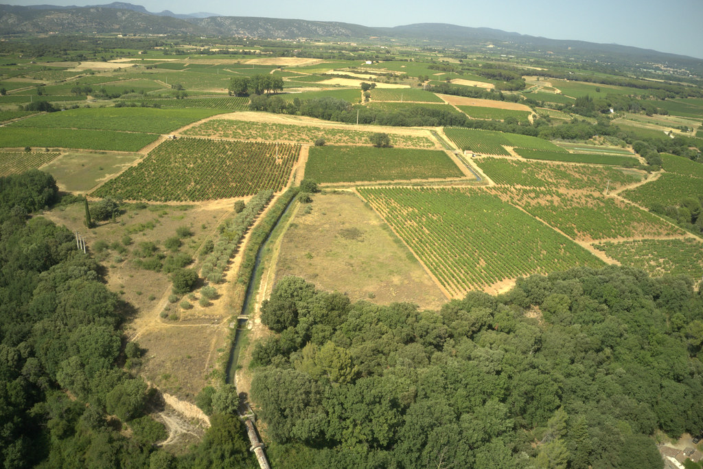
Irrigated area upstream of the Lagamas siphon, Gignac, France
|
| |
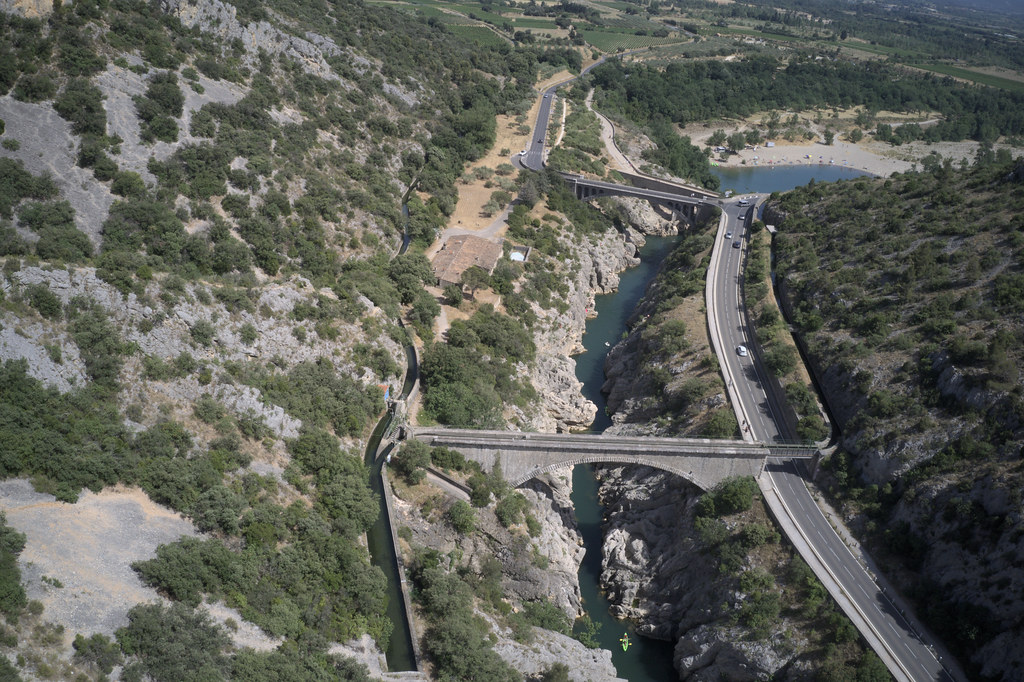
Lagamas siphon outlet, Gignac irrigated scheme, France
|

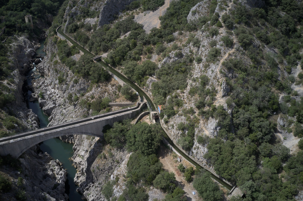
Upstream reach of the Canal de Gignac, Hérault valley, France
|
| |
Upstream reach of the Canal de Gignac, Hérault, France
|
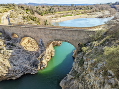
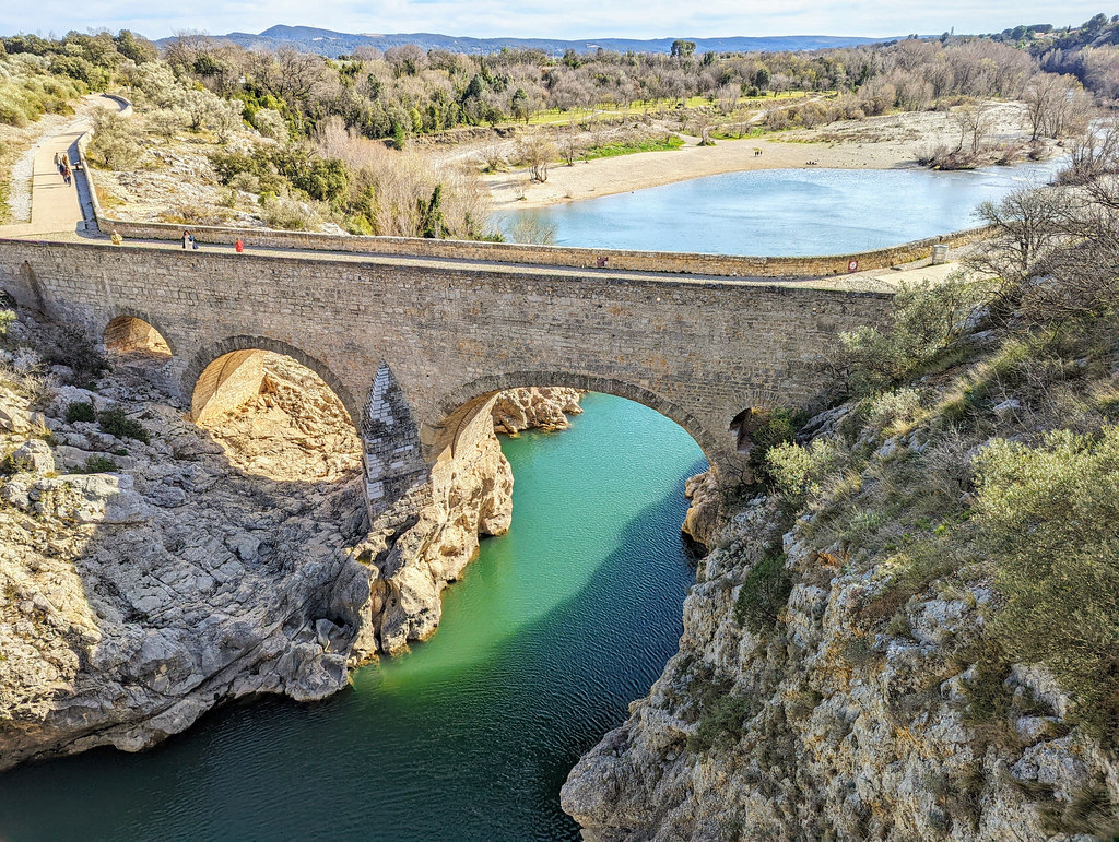
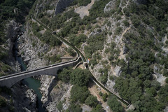
Pont du Diable, Hérault
|
| |

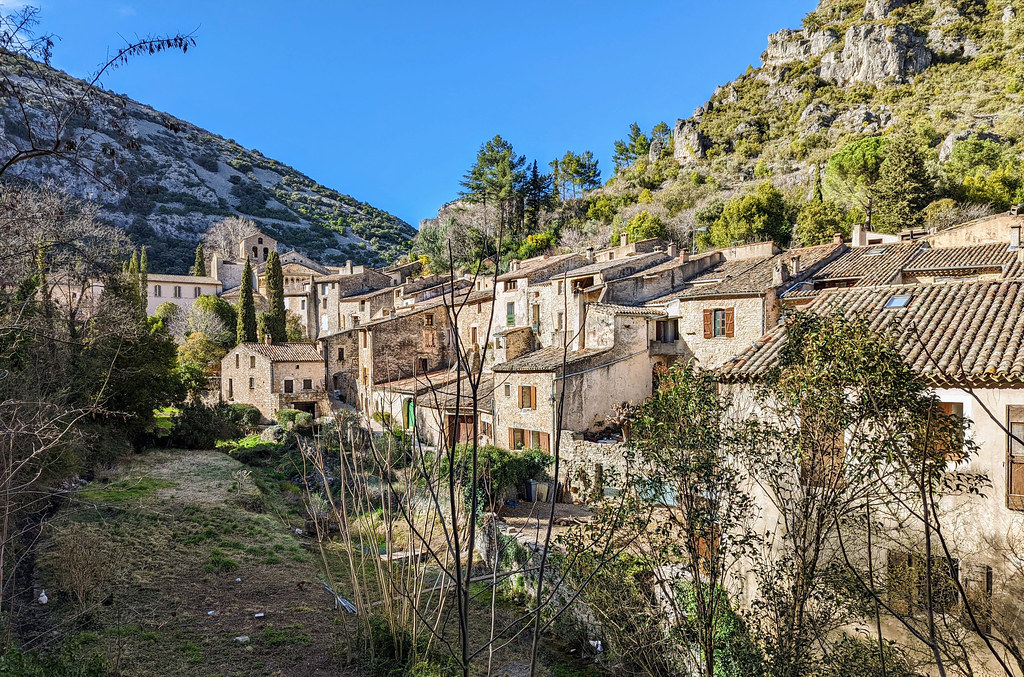
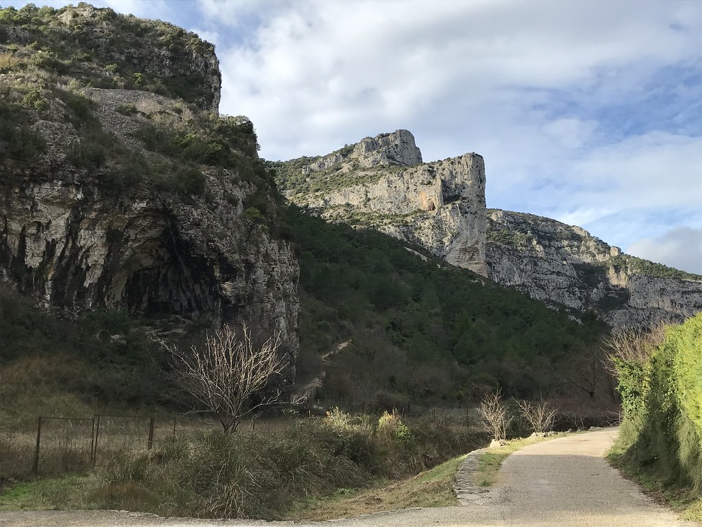
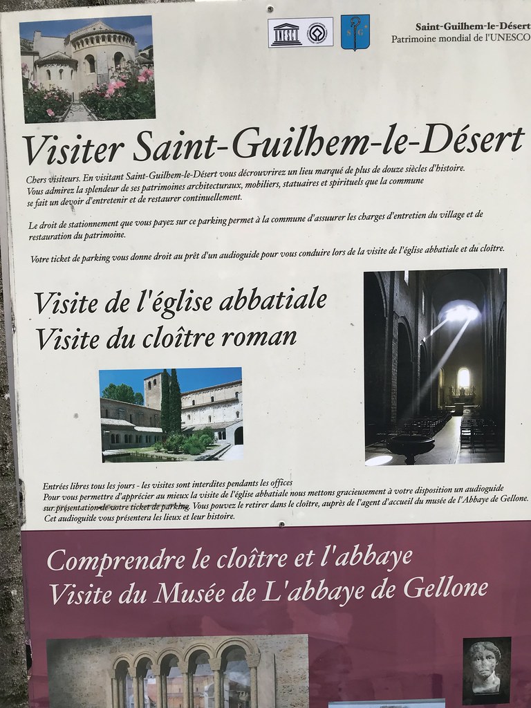
Saint-Guilhem-le-Désert
|
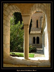
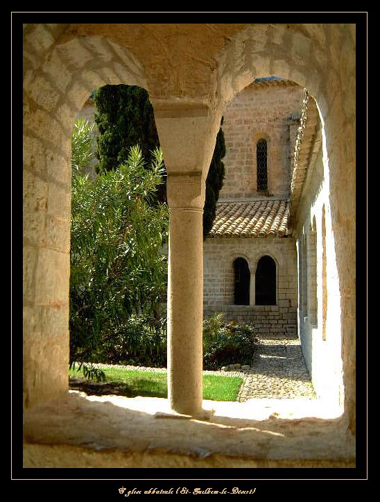
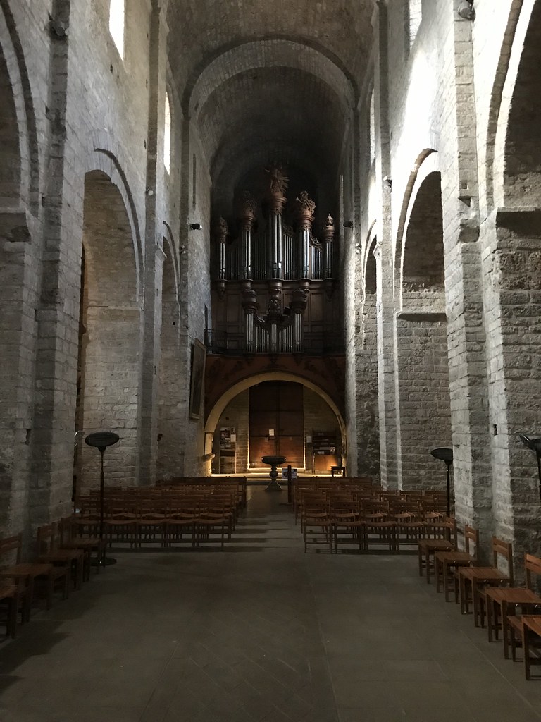
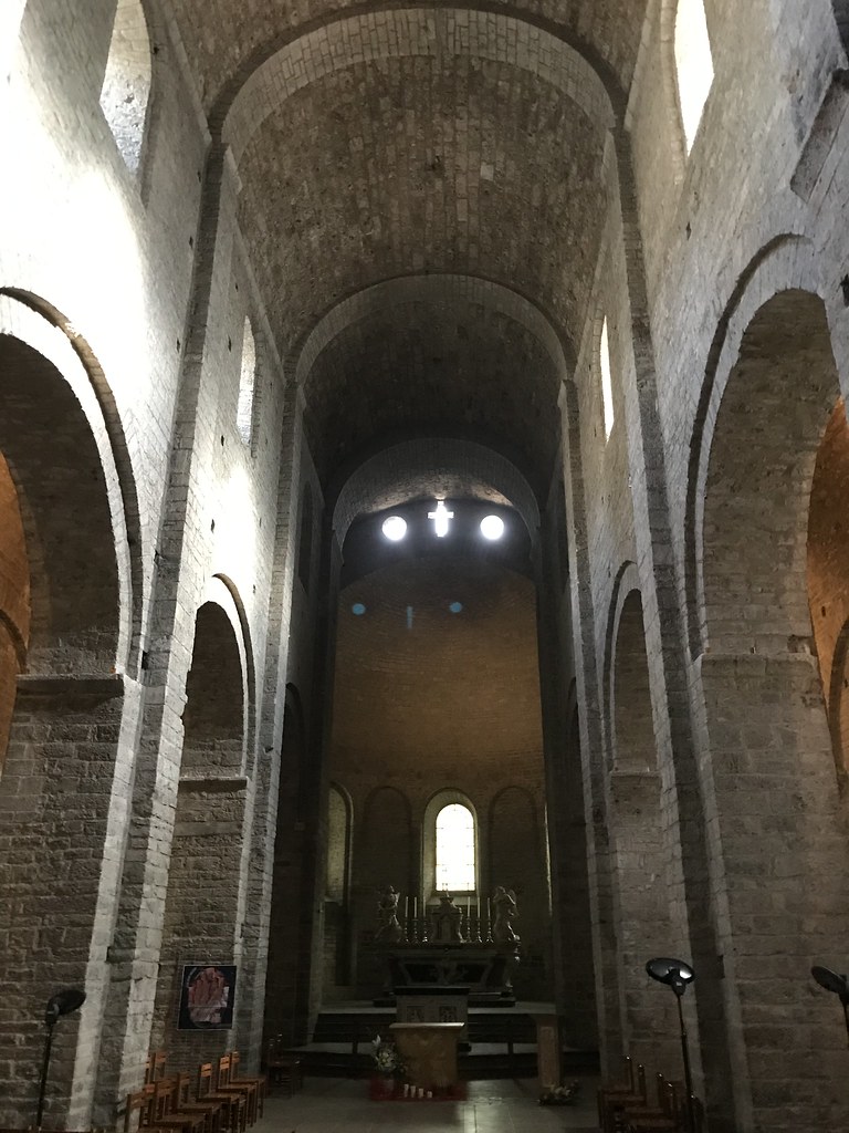
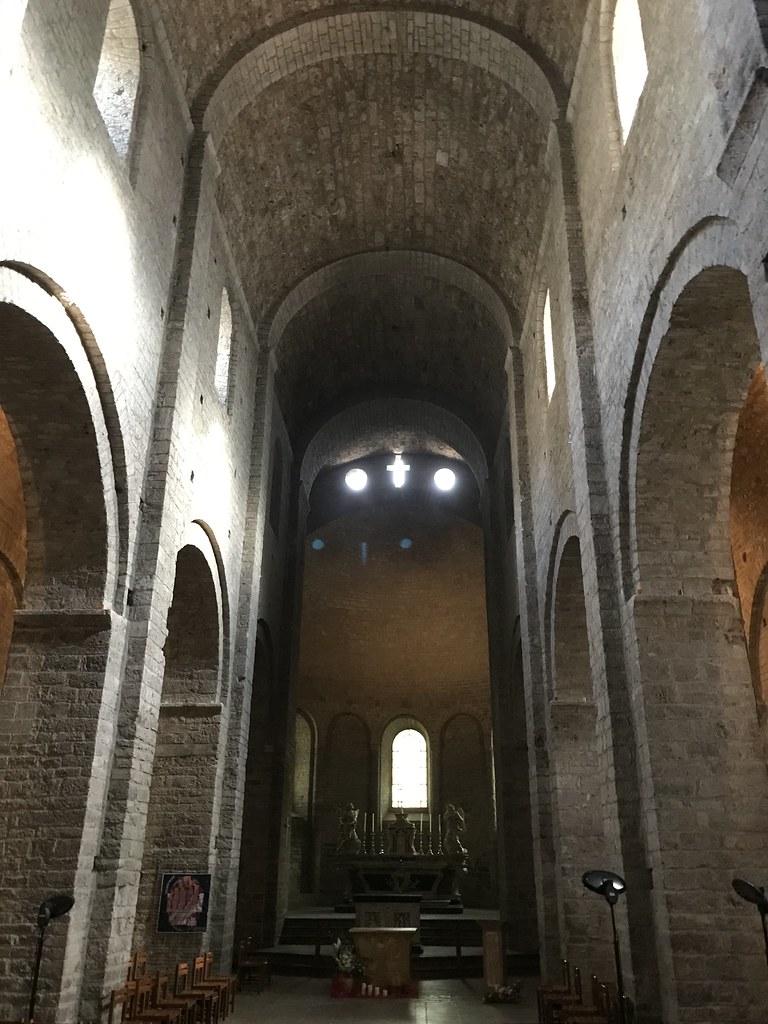
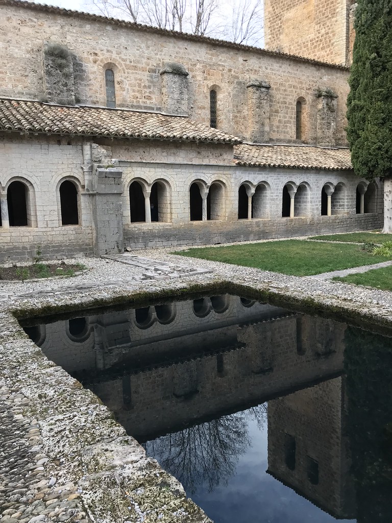
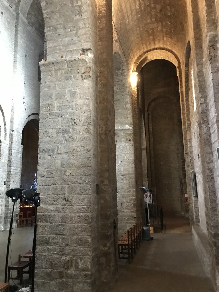
Église abbatiale - Saint-Guilhem-le-Désert (Hérault, Languedoc-Roussillon, France)
|
| |
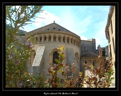
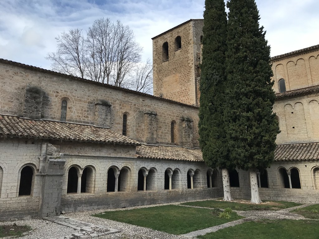
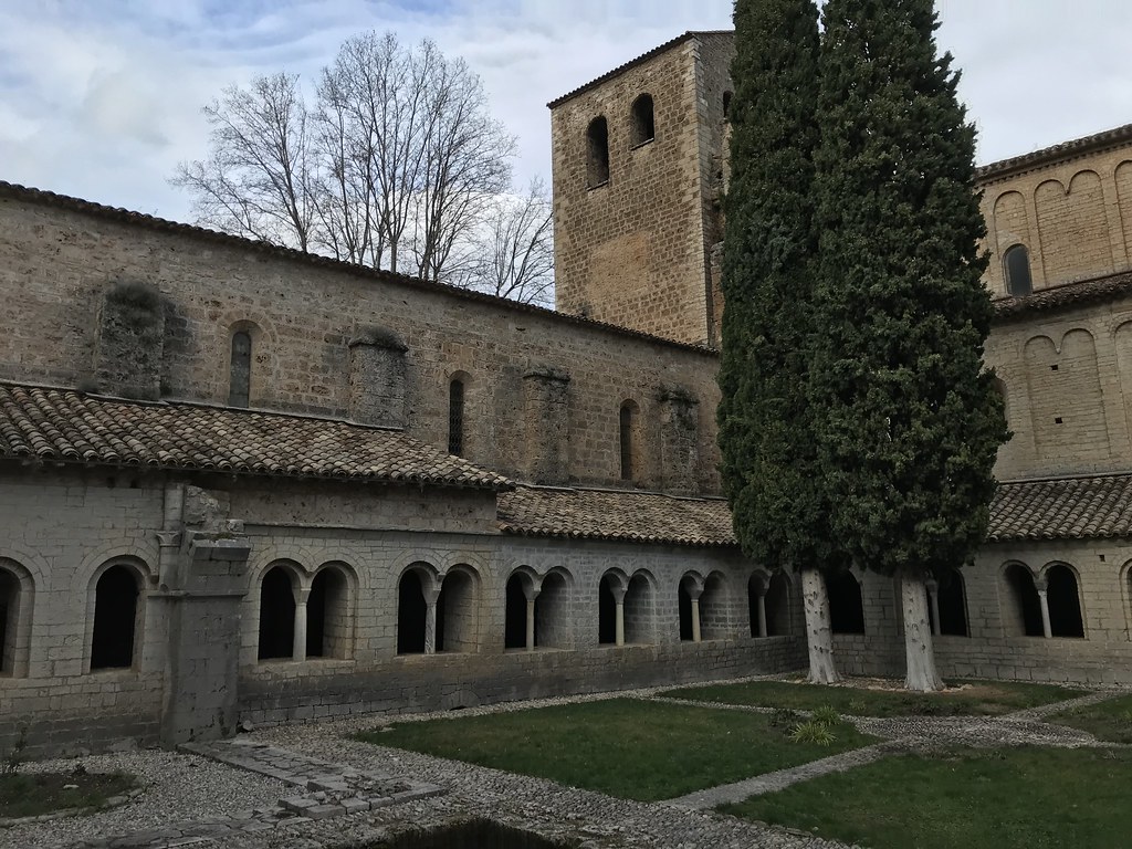
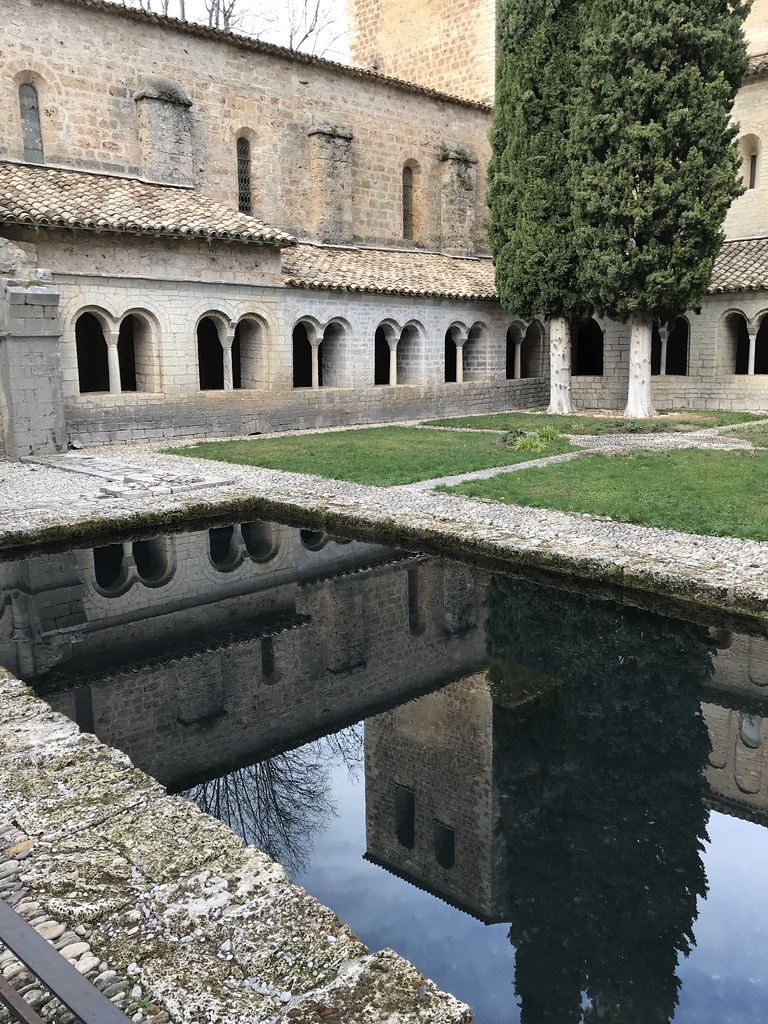
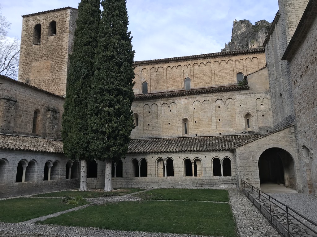
Église abbatiale - Saint-Guilhem-le-Désert (Hérault, Languedoc-Roussillon, France)
|
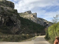
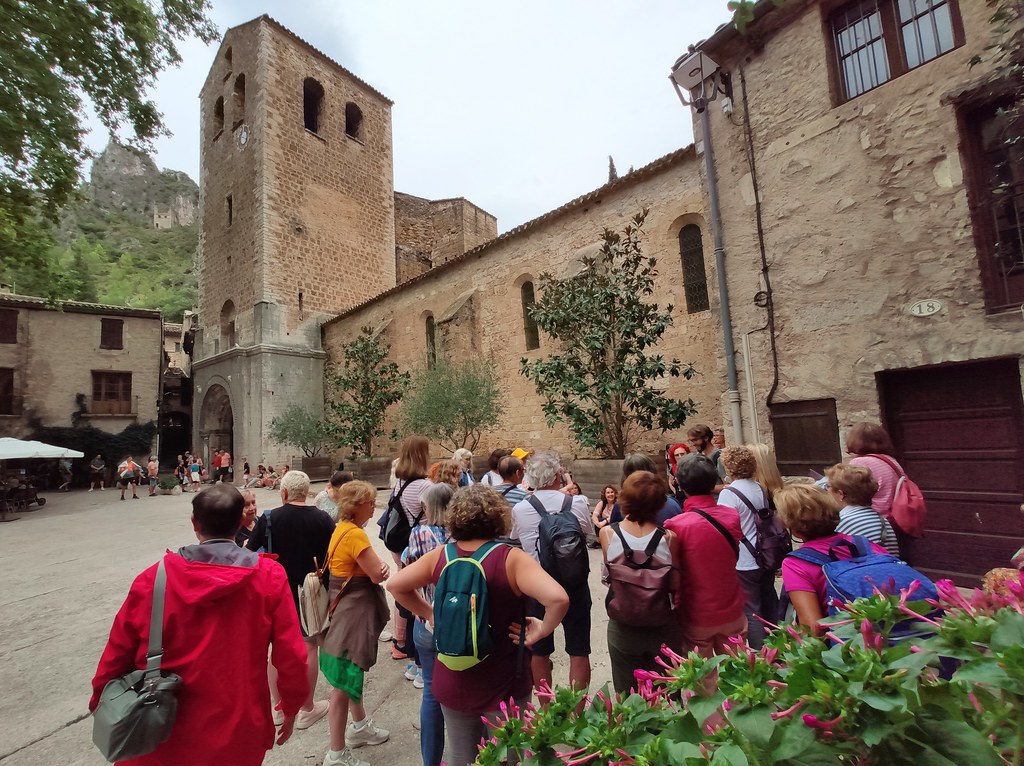
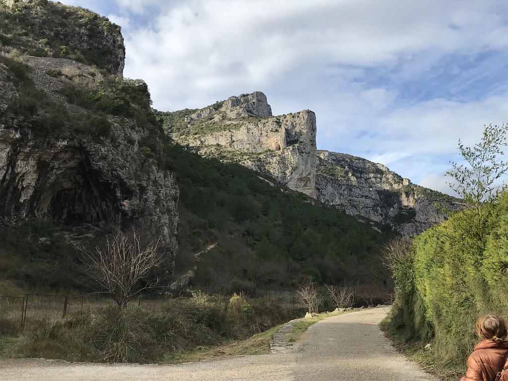
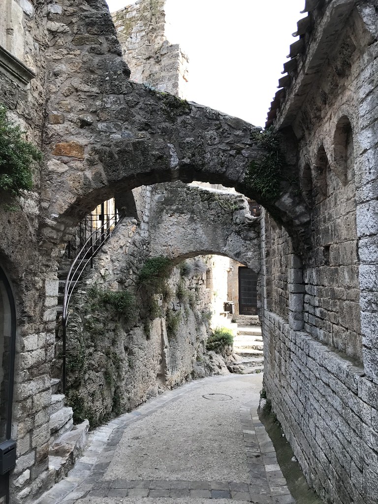
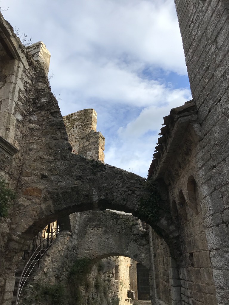
Photo of Arboras
|
| |

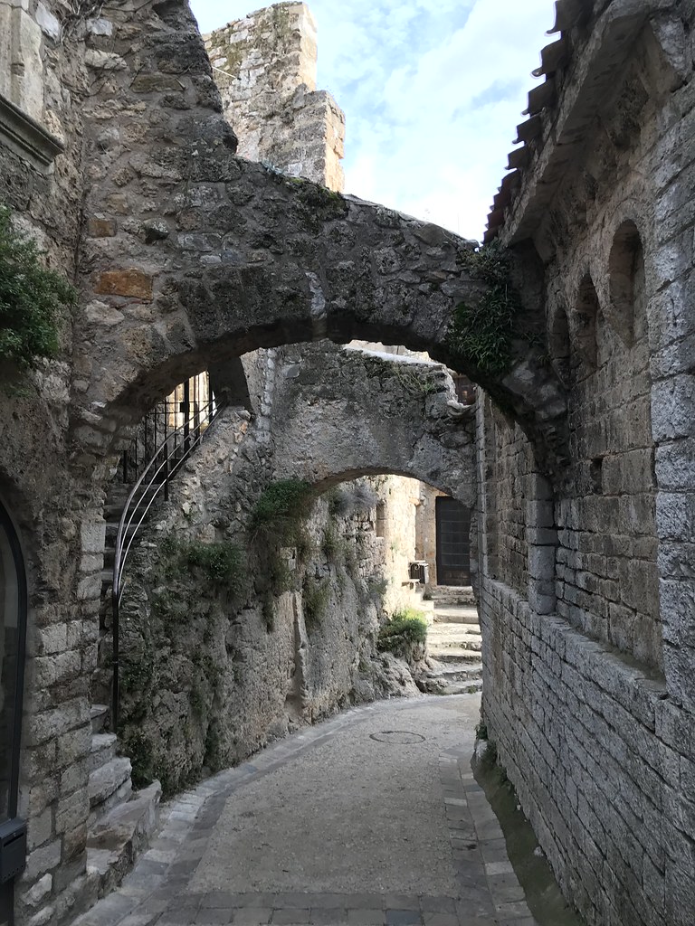
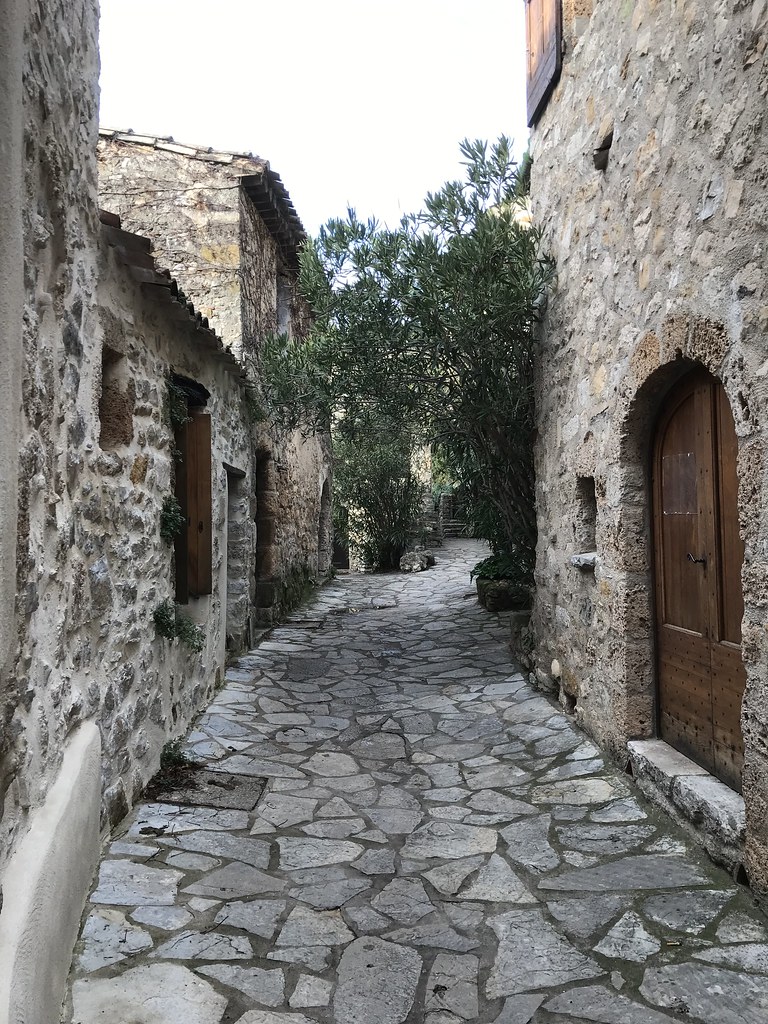
Photo of Arboras
|

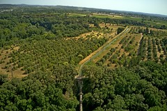
Photo of Arboras
|
| |
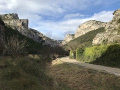
Photo of Arboras
|

Photo of Arboras
|
| |
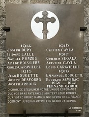
Photo of Arboras
|

Photo of Arboras
|
| |
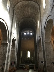
Photo of Arboras
|
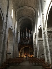
Photo of Arboras
|
| |
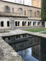
Photo of Arboras
|
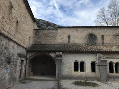
Photo of Arboras
|
| |

Photo of Arboras
|

Photo of Arboras
|
| |
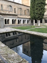
Photo of Arboras
|
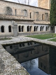
Photo of Arboras
|
| |

Photo of Arboras
|

Photo of Arboras
|
| |
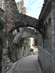
Photo of Arboras
|

Photo of Arboras
|
| |
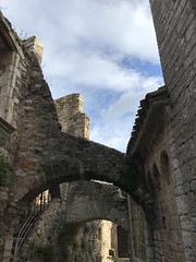
Photo of Arboras
|

Photo of Arboras
|
|
Old photos of the town of Arboras
|
These photos taken near the town of Arboras can be shown in full screen clicking on the thumbnails. Photos are copyrighted by their owners.
|
|
Other maps, hotels and towns in france
Find another town, zip code, department, region, ...
Quick links Arboras :
Back to the menus Map of France :
Make a link to this page of Arboras with the following code :
|
|
Map of France | Regions | Departments | Cities | Partners | Terms | Contact
|