|
|
|
|
|
|
Arboussols pictures
|
|
|
|
Photos of the town of Arboussols
|
These photos taken near the town of Arboussols can be shown in full screen clicking on the thumbnails. Photos are copyrighted by their owners.
| | |
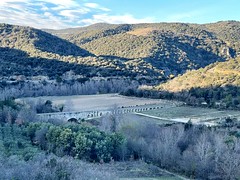
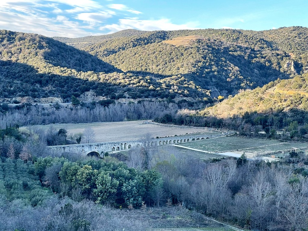
13th century Aqueduct of Lansigan, Agly River Basin, South of France
|

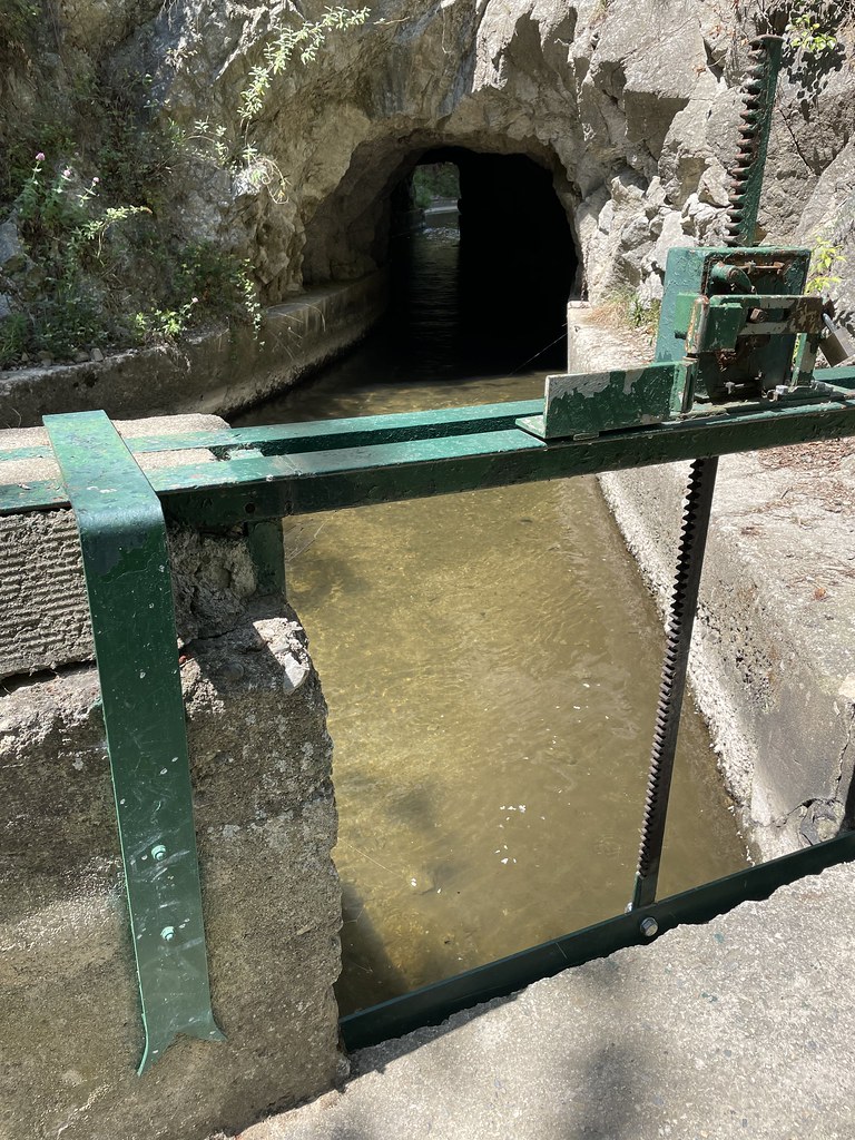
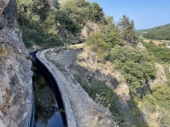
Canal de Thuir, Têt River basin, France
|
| |
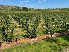
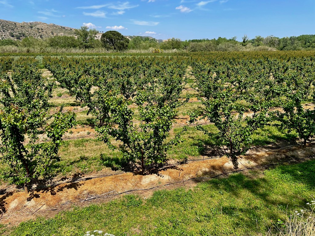
Fruit tress irrigated with drip, Têt River basin, France
|

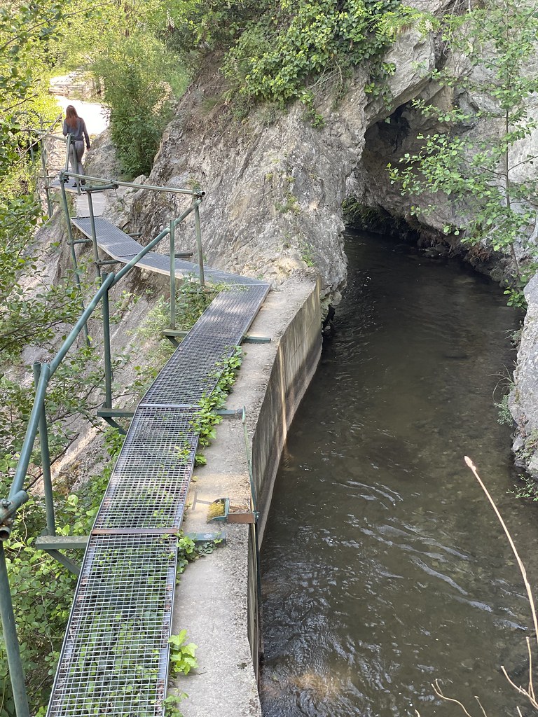
Upstream reach of the Canal de Thuir, France
|
| |
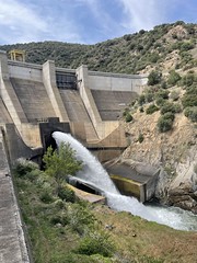
Vinça Dam on the Têt River, France
|
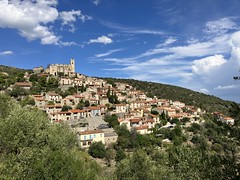
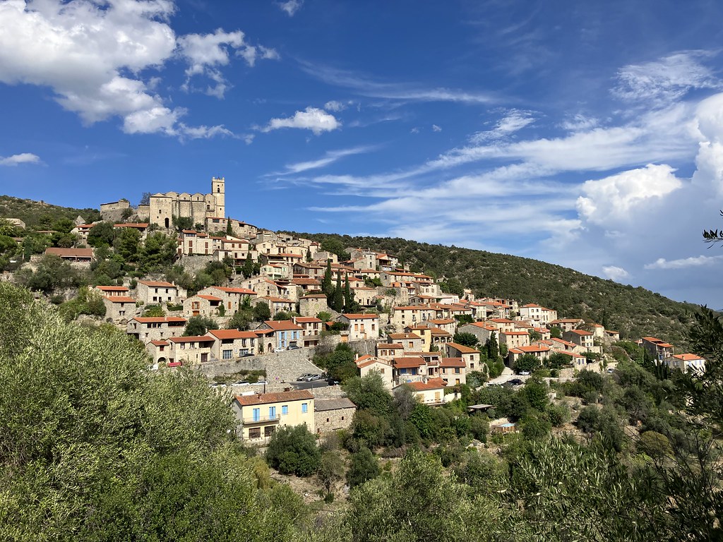
Eus
|
| |
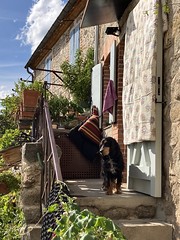
Eus Dog
|
-Engorner en Cassa- irrigation Canal, Têt valley, France
|
| |
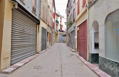
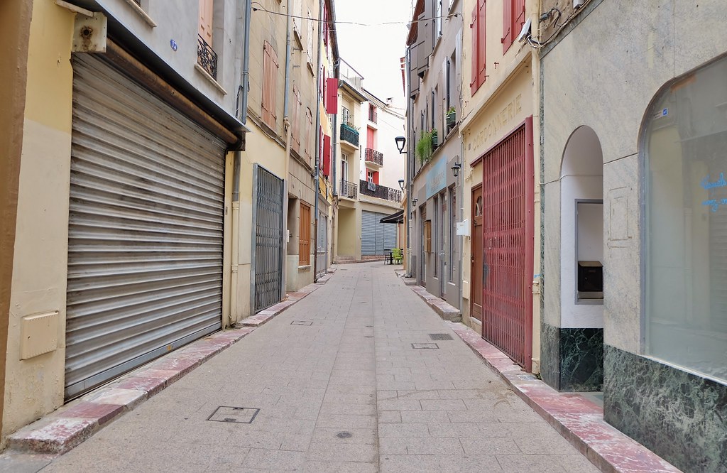
Prades, Conflent, la rue fantôme des marchands
|
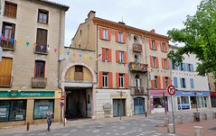
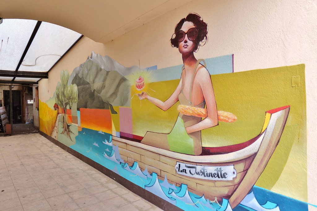
Prades, Conflent
|
| |
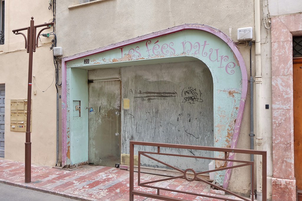
prades
|

prades
|
| |

Prades, Conflent
|

Prades, Conflent
|
|
Old photos of the town of Arboussols
|
These photos taken near the town of Arboussols can be shown in full screen clicking on the thumbnails. Photos are copyrighted by their owners.
|
|
Other maps, hotels and towns in france
Find another town, zip code, department, region, ...
Quick links Arboussols :
Back to the menus Map of France :
Make a link to this page of Arboussols with the following code :
|
|
Map of France | Regions | Departments | Cities | Partners | Terms | Contact
|