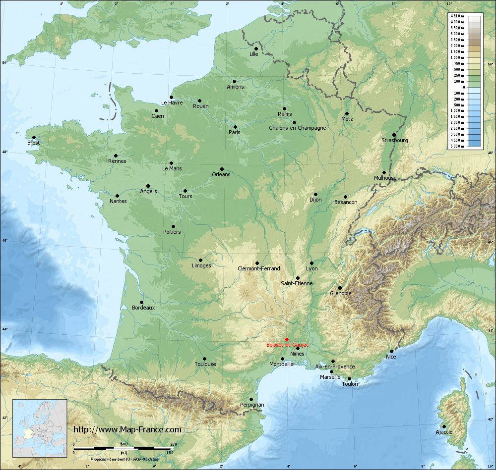
Boisset-et-Gaujac on the relief France map in Lambert 93 coordinates
|
See the map of Boisset-et-Gaujac in full screen (1000 x 949)
|
At left, here is the location of Boisset-et-Gaujac on the relief France map in Lambert 93 coordinates.
Here are the altitudes of Boisset-et-Gaujac :
- Town hall altitude of Boisset-et-Gaujac is 150 meters
- Minimum altitude of Boisset-et-Gaujac is 105 meters
- Maximum altitude of Boisset-et-Gaujac is 420 meters
- Medium altitude of Boisset-et-Gaujac is 263 meters
Here are the altitudes of Nîmes, prefecture of Gard department:
- Town hall altitude of Nîmes is 46 meters
- Minimum altitude of Nîmes is 21 meters
- Maximum altitude of Nîmes is 215 meters
- Medium altitude of Nîmes is 118 meters
Here are the altitudes of the french biggest cities:
Paris : 33 meters
Marseille : 20 meters
Lyon : 237 meters
Toulouse : 146 meters
Nice : 10 meters
Nantes : 20 meters
Strasbourg : 144 meters
Montpellier : 35 meters
Bordeaux : 16 meters
Lille : 20 meters
Rennes : 35 meters
Reims : 83 meters
Click here for the terrain map of Boisset-et-Gaujac in full screen:
Relief map of Boisset-et-Gaujac
|
This relief map of Boisset-et-Gaujac is reusable and modifiable by making a link to this page of the Map-France.com website or by using the given code :
|
Terrain base map of Boisset-et-Gaujac
|

See the terrain base map of Boisset-et-Gaujac in full screen (1000 x 949)
|
Small relief base map of Boisset-et-Gaujac

|
This base map of Boisset-et-Gaujac is reusable and modifiable by making a link to this page of the Map-France.com website or by using the given code :
|
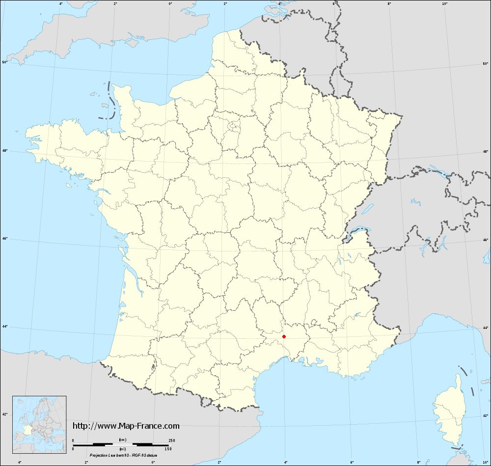
Map of Boisset-et-Gaujac with regions and prefectures
|
View the map of Boisset-et-Gaujac in full screen (1000 x 949)
|
You will find the location of Boisset-et-Gaujac on the map of France of regions in Lambert 93 coordinates. The city of Boisset-et-Gaujac is located in the department of Gard of the french region Languedoc-Roussillon.
Geographical sexagesimal coordinates / GPS (WGS84):
Latitude: 44° 02' 58'' North
Longitude: 04° 01' 11'' East
Geographical decimal coordinates :
Latitude: 44.05 degrees (44.05° North)
Longitude: 4.021 degrees (4.021° East)
Lambert 93 coordinates :
X: 7 817 hectometers
Y: 63 284 hectometers
Lambert 2 coordinates :
X: 7 350 hectometers
Y: 18 957 hectometers
Below, the geographical coordinates of Nîmes, prefecture of the Gard department:
Geographical sexagesimal coordinates / GPS (WGS84):
Latitude: 43° 50' 13'' North
Longitude: 04° 21' 36'' East
Geographical decimal coordinates :
Latitude: 43.839 degrees (43.839° North)
Longitude: 4.361 degrees (4.361° East)
Lambert 93 coordinates :
X: 8 094 hectometers
Y: 63 052 hectometers
Lambert 2 coordinates :
X: 7 629 hectometers
Y: 18 727 hectometers
|
This map of Boisset-et-Gaujac is reusable and modifiable by making a link to this page of the Map-France.com website or by using the given code :
|
Map of Boisset-et-Gaujac with departments and prefectures
|
Voir la carte of Boisset-et-Gaujac en grand format (1000 x 949)
|
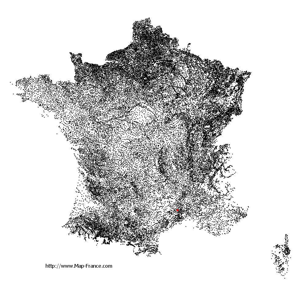
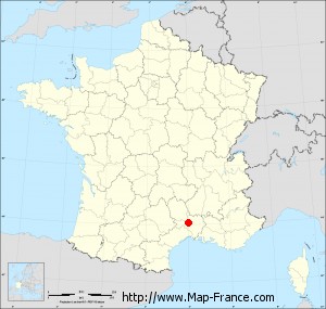
Here is the localization of Boisset-et-Gaujac on the France map of departments in Lambert 93 coordinates. The city of Boisset-et-Gaujac is shown on the map by a red point.
The city of Boisset-et-Gaujac is located in the department of Gard of the french region Languedoc-Roussillon.
The latitude of Boisset-et-Gaujac is 44.05 degrees North.
The longitude of Boisset-et-Gaujac is 4.021 degrees East.
Here the distance between Boisset-et-Gaujac and the biggest cities of France:
Distances are calculated as the crow flies (orthodromic distance)
Distance between Boisset-et-Gaujac and Paris : 549.64 kilometers
Distance between Boisset-et-Gaujac and Marseille : 138.79 kilometers
Distance between Boisset-et-Gaujac and Lyon : 200.47 kilometers
Distance between Boisset-et-Gaujac and Toulouse : 212.02 kilometers
Distance between Boisset-et-Gaujac and Nice : 262.37 kilometers
Distance between Boisset-et-Gaujac and Nantes : 557.93 kilometers
Distance between Boisset-et-Gaujac and Strasbourg : 579.46 kilometers
Distance between Boisset-et-Gaujac and Montpellier : 50.40 kilometers
Distance between Boisset-et-Gaujac and Bordeaux : 374.98 kilometers
Distance between Boisset-et-Gaujac and Lille : 734.53 kilometers
Distance between Boisset-et-Gaujac and Rennes : 629.21 kilometers
Distance between Boisset-et-Gaujac and Reims : 578.65 kilometers
Clic here to see the map of Boisset-et-Gaujac in full screen:
Boisset-et-Gaujac on the map of french departments
|
This administrative map of Boisset-et-Gaujac is reusable and modifiable by making a link to this page of the Map-France.com website or by using the given code :
|
Administrative base maps of Boisset-et-Gaujac
|
See the administrative base map of Boisset-et-Gaujac in full screen (1000 x 949)
|
Small administrative base map of Boisset-et-Gaujac
|
This base map administrative of Boisset-et-Gaujac is reusable and modifiable by making a link to this page of the Map-France.com website or by using the given code :
|
 French Version : http://www.cartesfrance.fr