|
The village of Bongheat is a small village located center of France. The town of Bongheat is located in the department of Puy-de-Dôme of the french region Auvergne. The town of Bongheat is located in the township of Billom part of the district of Clermont-Ferrand. The area code for Bongheat is 63044 (also known as code INSEE), and the Bongheat zip code is 63160.
Geography and map of Bongheat :
The altitude of the city hall of Bongheat is approximately 440 meters. The Bongheat surface is 11.20 km ². The latitude and longitude of Bongheat are 45.728 degrees North and 3.429 degrees East.
Nearby cities and towns of Bongheat are :
Neuville (63160) at 2.10 km, Mauzun (63160) at 2.71 km, Égliseneuve-près-Billom (63160) at 3.00 km, Trézioux (63520) at 3.23 km, Glaine-Montaigut (63160) at 4.48 km, Estandeuil (63520) at 5.47 km, Fayet-le-Château (63160) at 5.71 km, Reignat (63160) at 5.99 km.
(The distances to these nearby towns of Bongheat are calculated as the crow flies)
Population and housing of Bongheat :
The population of Bongheat was 241 in 1999, 320 in 2006 and 331 in 2007. The population density of Bongheat is 29.55 inhabitants per km². The number of housing of Bongheat was 204 in 2007. These homes of Bongheat consist of 139 main residences, 30 second or occasional homes and 35 vacant homes. |
|
|
Hotel Bongheat
|
|
|
Book now ! Best Price Guaranteed, no booking fees, pay at the hotel with our partner Booking.com, leader in online hotel reservation.
Find all hotels of Bongheat : Hotel Bongheat
| |
|
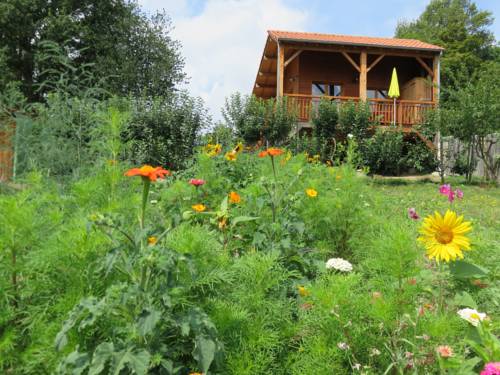
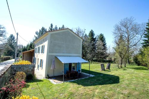
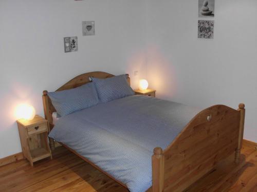
Guest accommodation : Gite Les Mathieux

Gite Les Mathieux is set in Bongheat and offers barbecue facilities and a garden. The property features mountain views. With free WiFi, this 2-bedroom holiday home provides a s...
Address : Les Mathieux n.a 63160 Bongheat
Distance Guest accommodation - Bongheat : 1.49 km
|
|
|
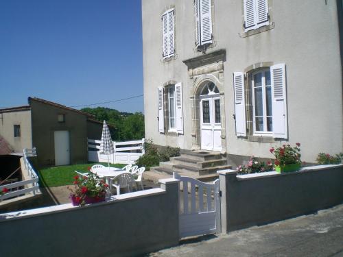
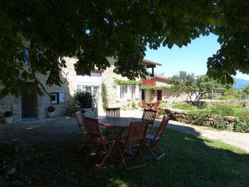
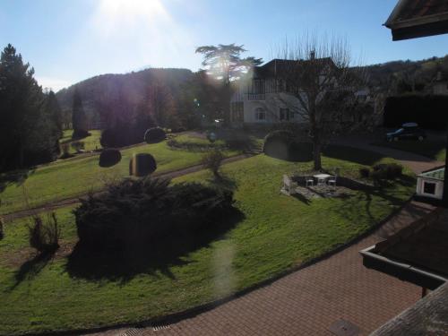
Guest accommodation : chez mimoune
Guests staying at this holiday home have access to a fully equipped kitchen and a terrace. Thiers Train Station is 24 km from the property and the A89 motorway is 20 km away Th...
Contact : le Theil 63520 Trézioux
Distance Guest accommodation - Bongheat : 4.50 km
|
|
|
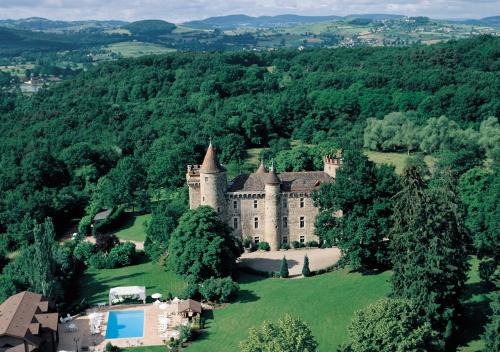
Hotel : Chateau de Codignat - Relais & Châteaux

Situated in a 15-hectare park, the Chateau de Codignat overlooks the village of Bort L’Etang. It features a heated outdoor swimming pool. The air-conditioned guest rooms decorat...
Contact : Bort L'Etang 63190 Bort-lʼÉtang
Distance Hotel - Bongheat : 6.07 km
|
|
|
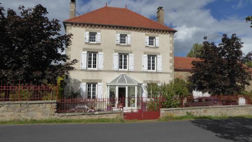
Guest accommodation : La Guillaumiere
Located in Bort-lʼÉtang, La Guillaumiere provides accommodation with a terrace and free WiFi. The property features lake views and is 38 km from Clermont-Ferrand. The holiday h...
Contact : Guillaumont 63190 Bort-lʼÉtang
Distance Guest accommodation - Bongheat : 6.27 km
|
|
|
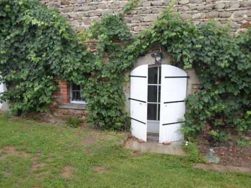
Bed and Breakfast : Chez Tiane
Situated in Saint-Flour, Chez Tiane offers accommodation with free WiFi and a garden with a barbecue. A microwave and fridge are also offered, as well as a kettle. Guests at t...
Price : from 52.00 €
to 173.00 €
Address : LE CLOS 63520 Saint-Flour
Distance Bed and Breakfast - Bongheat : 7.04 km
|
|
|
Bed and Breakfast : Chambre d'Hôtes Tilours
Chambre d'Hôtes Tilours is located in Billom. Free WiFi is offered. There is a fully equipped private bathroom with shower and a hair dryer. A continental breakfast is availab...
Contact : Rue des Granges- 8 Rue Des Boucheries 63160 Billom
Distance Bed and Breakfast - Bongheat : 7.10 km
|
|
|
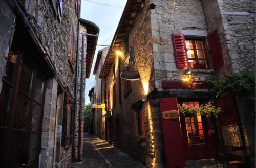
Guest accommodation : L'ancien Relais de Poste***
Set in Saint-Dier-dʼAuvergne, L'ancien Relais de Poste*** features accommodation with free WiFi and a garden with a terrace. Featuring views of the garden, all units in the pro...
Contact : 3, Impasse de la Poste 63520 Saint-Dier-dʼAuvergne
Distance Guest accommodation - Bongheat : 7.19 km
|
|
|
Guest accommodation : Ma Tranquillite
Offering a sun terrace and views of the mountains, Ma Tranquillite is situated in Courpière in the Auvergne Region, 35 km from Clermont-Ferrand. You will find a coffee machine ...
Contact : 1 place clemenceau 63120 courpiere 63120 Courpière
Distance Guest accommodation - Bongheat : 8.67 km
|
|
|
Bed and Breakfast : Relais des Chaux
Situated in Saint-Jean-des-Ollières, Relais des Chaux provides accommodation with access to a garden. Complimentary WiFi is provided. A continental breakfast is available every...
Prices : from 65.00 €
to 70.00 €
Address : Les Chaux Lieu dit 63520 Saint-Jean-des-Ollières
Distance Bed and Breakfast - Bongheat : 8.93 km
|
|
|
Guest accommodation : Gite Relais des Chaux
Featuring accommodation with a terrace, Gite Relais des Chaux is located in Saint-Jean-des-Ollières. The accommodation is 43 km from Clermont-Ferrand. The 2-bedroom holiday hom...
Rate : from 70.00 €
to 120.00 €
Contact : Lieu Dit Les Chaux 63520 Saint-Jean-des-Ollières
Distance Guest accommodation - Bongheat : 9.02 km
|
|
Find another hotel near Bongheat : Bongheat hotels list
|
Map of Bongheat
|
|
Map of Bongheat :
At right you can find the localization of Bongheat on the map of France. Below, this is the satellite map of Bongheat. A road map, and maps templates of Bongheat are available here : "road map of Bongheat". This map show Bongheat seen by the satellite of Google Map. To see the streets of Bongheat or move on another zone, use the buttons "zoom" and "map" on top of this dynamic map.
Search on the map of Bongheat :
To search hotels, housings, tourist information office, administrations or other services, use the Google search integrated to the map on the following page : "map Bongheat".
Hotels of Bongheat are listed on the map with the following icons: 
The map of Bongheat is centred in the following coordinates :
|

|
|
|
|
Print the map of Bongheat

Print the map of Bongheat : map of Bongheat
|
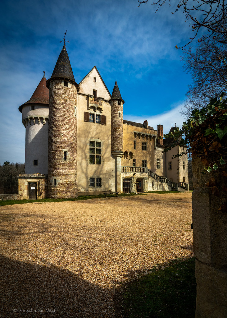
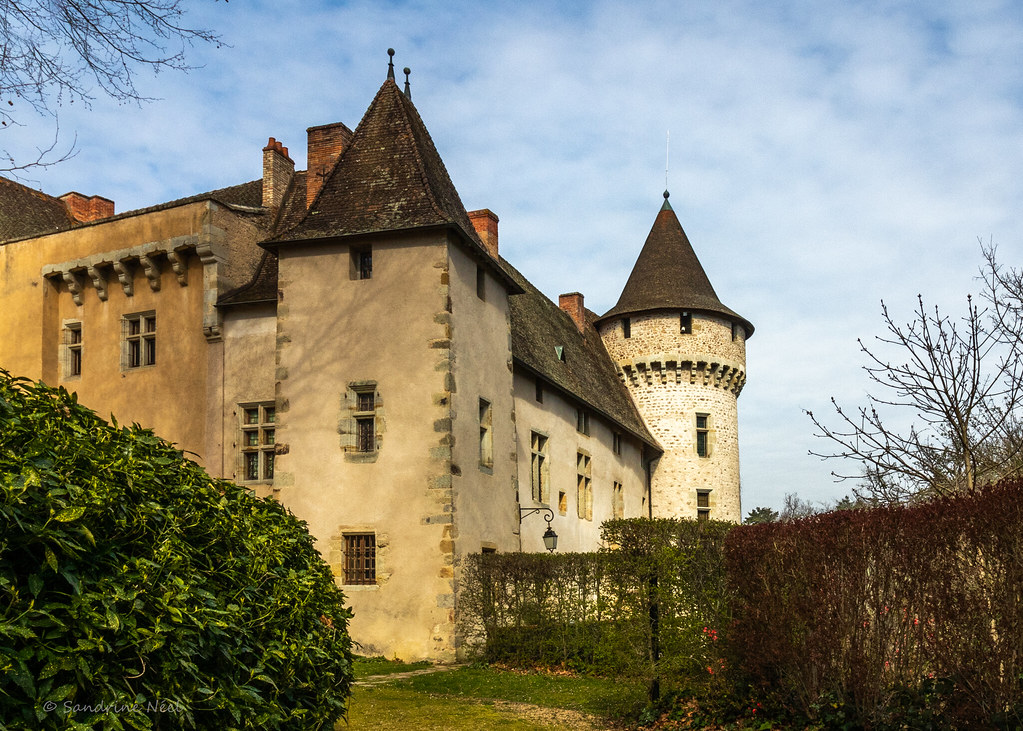
Photos Bongheat
|
See all photos of Bongheat :
Other photos of Bongheat and nearby towns can be found here: photos Bongheat
|
|
Bongheat weather forecast
Find next hours and 7 days weather forecast for Bongheat here : weather Bongheat (with english metrics)
This is the last weather forecast for Bongheat collected by the nearest observation station of Billom.
Week Forecast:
The latest weather data for Bongheat were collected Friday, 19 April 2024 at 03:00 from the nearest observation station of Billom.
| Friday, April 19th |
16°C 0°C
0%
25%
|
Mostly clear
Temperature Max: 16°C Temperature Min: 0°C
Precipitation Probability: 0%
Percentage of sky occluded by clouds: 25%
Wind speed: 7 km/h South-East
Humidity: 55%° UV Index: 5
Sunrise: 06:53 Sunset: 20:39 |
|
| | Saturday, April 20th |
10°C 4°C
42%
78%
|
Drizzle
Temperature Max: 10°C Temperature Min: 4°C
Precipitation Probability: 42% (Rain)
Percentage of sky occluded by clouds: 78%
Wind speed: 17 km/h South
Humidity: 64%° UV Index: 4
Sunrise: 06:51 Sunset: 20:40 |
|
| | Sunday, April 21st |
10°C 2°C
0%
82%
|
Mostly cloudy
Temperature Max: 10°C Temperature Min: 2°C
Precipitation Probability: 0%
Percentage of sky occluded by clouds: 82%
Wind speed: 16 km/h South
Humidity: 66%° UV Index: 3
Sunrise: 06:49 Sunset: 20:41 |
|
| | Monday, April 22nd |
11°C 1°C
0%
69%
|
Mostly cloudy
Temperature Max: 11°C Temperature Min: 1°C
Precipitation Probability: 0%
Percentage of sky occluded by clouds: 69%
Wind speed: 16 km/h South
Humidity: 62%° UV Index: 4
Sunrise: 06:48 Sunset: 20:43 |
|
|
Attribution: 
|
|
Other maps, hotels and towns in france
Find another town, zip code, department, region, ...
Quick links Bongheat :
Make a link to this page of Bongheat with the following code :
|
|
|
 French Version : http://www.cartesfrance.fr/carte-france-ville/63044_Bongheat.html