Bossus-lès-Rumigny on the relief France map in Lambert 93 coordinates
|
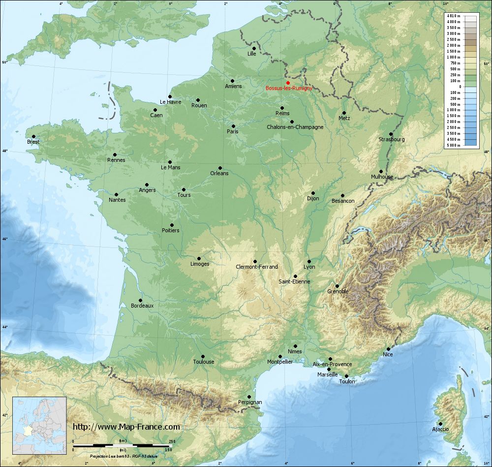
See the map of Bossus-lès-Rumigny in full screen (1000 x 949)
|
At left, here is the location of Bossus-lès-Rumigny on the relief France map in Lambert 93 coordinates.
Here are the altitudes of Bossus-lès-Rumigny :
- Town hall altitude of Bossus-lès-Rumigny is 200 meters
- Minimum altitude of Bossus-lès-Rumigny is 178 meters
- Maximum altitude of Bossus-lès-Rumigny is 241 meters
- Medium altitude of Bossus-lès-Rumigny is 210 meters
Here are the altitudes of Charleville-Mézières, prefecture of Ardennes department:
- Town hall altitude of Charleville-Mézières is 150 meters
- Minimum altitude of Charleville-Mézières is 133 meters
- Maximum altitude of Charleville-Mézières is 323 meters
- Medium altitude of Charleville-Mézières is 228 meters
Here are the altitudes of the french biggest cities:
Paris : 33 meters
Marseille : 20 meters
Lyon : 237 meters
Toulouse : 146 meters
Nice : 10 meters
Nantes : 20 meters
Strasbourg : 144 meters
Montpellier : 35 meters
Bordeaux : 16 meters
Lille : 20 meters
Rennes : 35 meters
Reims : 83 meters
Click here for the terrain map of Bossus-lès-Rumigny in full screen:
Relief map of Bossus-lès-Rumigny
|
This relief map of Bossus-lès-Rumigny is reusable and modifiable by making a link to this page of the Map-France.com website or by using the given code :
|
Terrain base map of Bossus-lès-Rumigny
|

See the terrain base map of Bossus-lès-Rumigny in full screen (1000 x 949)
|
Small relief base map of Bossus-lès-Rumigny

|
This base map of Bossus-lès-Rumigny is reusable and modifiable by making a link to this page of the Map-France.com website or by using the given code :
|
Map of Bossus-lès-Rumigny with regions and prefectures
|
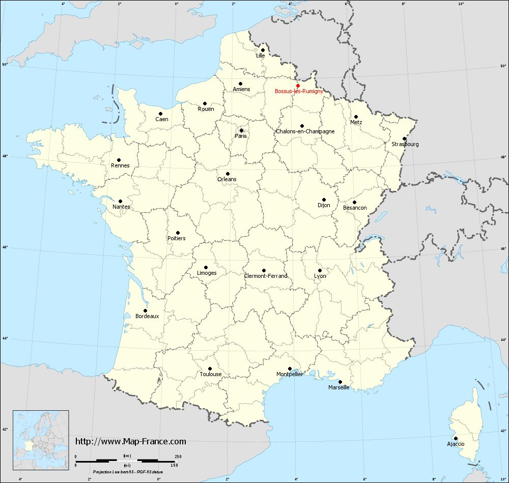
View the map of Bossus-lès-Rumigny in full screen (1000 x 949)
|
You will find the location of Bossus-lès-Rumigny on the map of France of regions in Lambert 93 coordinates. The town of Bossus-lès-Rumigny is located in the department of Ardennes of the french region Champagne-Ardenne.
Geographical sexagesimal coordinates / GPS (WGS84):
Latitude: 49° 50' 19'' North
Longitude: 04° 15' 24'' East
Geographical decimal coordinates :
Latitude: 49.841 degrees (49.841° North)
Longitude: 4.256 degrees (4.256° East)
Lambert 93 coordinates :
X: 7 905 hectometers
Y: 69 718 hectometers
Lambert 2 coordinates :
X: 7 383 hectometers
Y: 25 397 hectometers
Below, the geographical coordinates of Charleville-Mézières, prefecture of the Ardennes department:
Geographical sexagesimal coordinates / GPS (WGS84):
Latitude: 49° 46' 17'' North
Longitude: 04° 43' 10'' East
Geographical decimal coordinates :
Latitude: 49.763 degrees (49.763° North)
Longitude: 4.72 degrees (4.72° East)
Lambert 93 coordinates :
X: 8 239 hectometers
Y: 69 650 hectometers
Lambert 2 coordinates :
X: 7 718 hectometers
Y: 25 331 hectometers
|
This map of Bossus-lès-Rumigny is reusable and modifiable by making a link to this page of the Map-France.com website or by using the given code :
|
Map of Bossus-lès-Rumigny with departments and prefectures
|
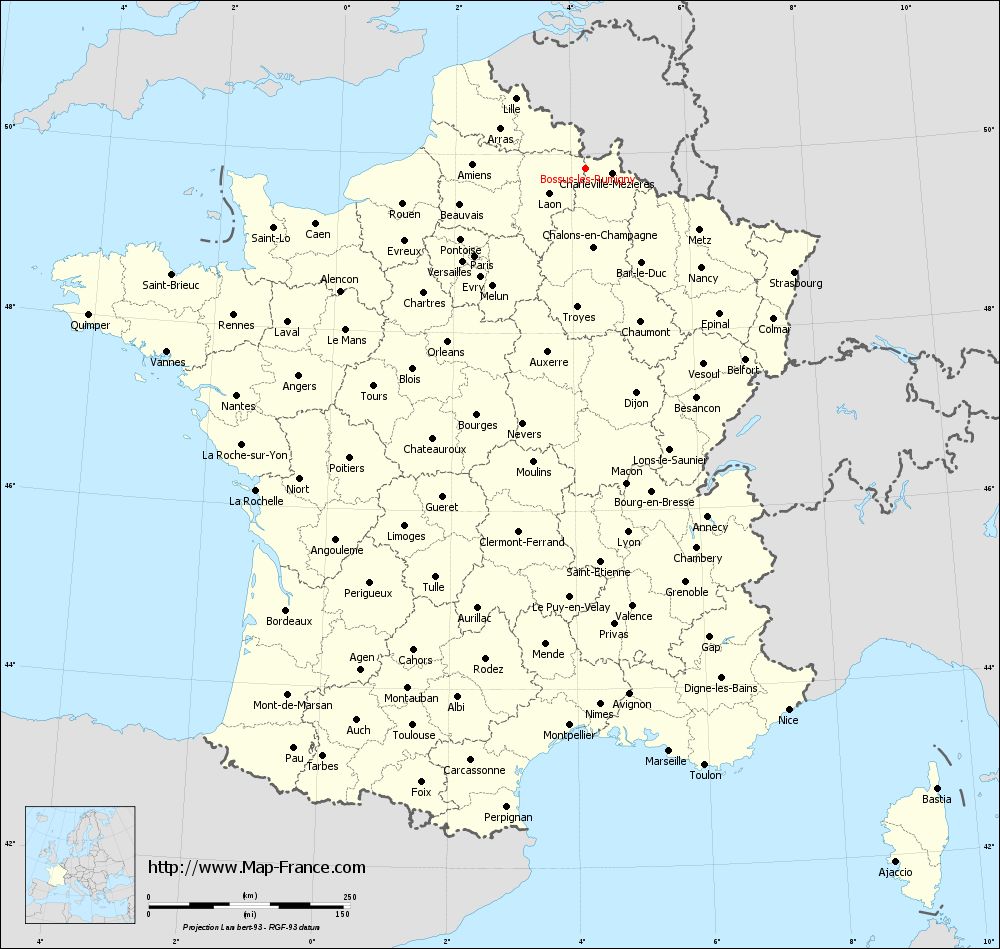
Voir la carte of Bossus-lès-Rumigny en grand format (1000 x 949)
|
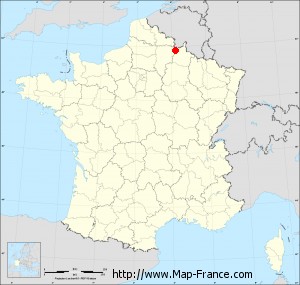
Here is the localization of Bossus-lès-Rumigny on the France map of departments in Lambert 93 coordinates. The city of Bossus-lès-Rumigny is shown on the map by a red point.
The town of Bossus-lès-Rumigny is located in the department of Ardennes of the french region Champagne-Ardenne.
The latitude of Bossus-lès-Rumigny is 49.841 degrees North.
The longitude of Bossus-lès-Rumigny is 4.256 degrees East.
Here the distance between Bossus-lès-Rumigny and the biggest cities of France:
Distances are calculated as the crow flies (orthodromic distance)
Distance between Bossus-lès-Rumigny and Paris : 175.95 kilometers
Distance between Bossus-lès-Rumigny and Marseille : 732.19 kilometers
Distance between Bossus-lès-Rumigny and Lyon : 455.45 kilometers
Distance between Bossus-lès-Rumigny and Toulouse : 725.41 kilometers
Distance between Bossus-lès-Rumigny and Nice : 718.79 kilometers
Distance between Bossus-lès-Rumigny and Nantes : 517.03 kilometers
Distance between Bossus-lès-Rumigny and Strasbourg : 289.80 kilometers
Distance between Bossus-lès-Rumigny and Montpellier : 692.99 kilometers
Distance between Bossus-lès-Rumigny and Bordeaux : 663.45 kilometers
Distance between Bossus-lès-Rumigny and Lille : 122.73 kilometers
Distance between Bossus-lès-Rumigny and Rennes : 473.62 kilometers
Distance between Bossus-lès-Rumigny and Reims : 66.71 kilometers
Clic here to see the map of Bossus-lès-Rumigny in full screen:
Bossus-lès-Rumigny on the map of french departments
|
This administrative map of Bossus-lès-Rumigny is reusable and modifiable by making a link to this page of the Map-France.com website or by using the given code :
|
Administrative base maps of Bossus-lès-Rumigny
|

See the administrative base map of Bossus-lès-Rumigny in full screen (1000 x 949)
|
Small administrative base map of Bossus-lès-Rumigny
|
This base map administrative of Bossus-lès-Rumigny is reusable and modifiable by making a link to this page of the Map-France.com website or by using the given code :
|
 French Version : http://www.cartesfrance.fr