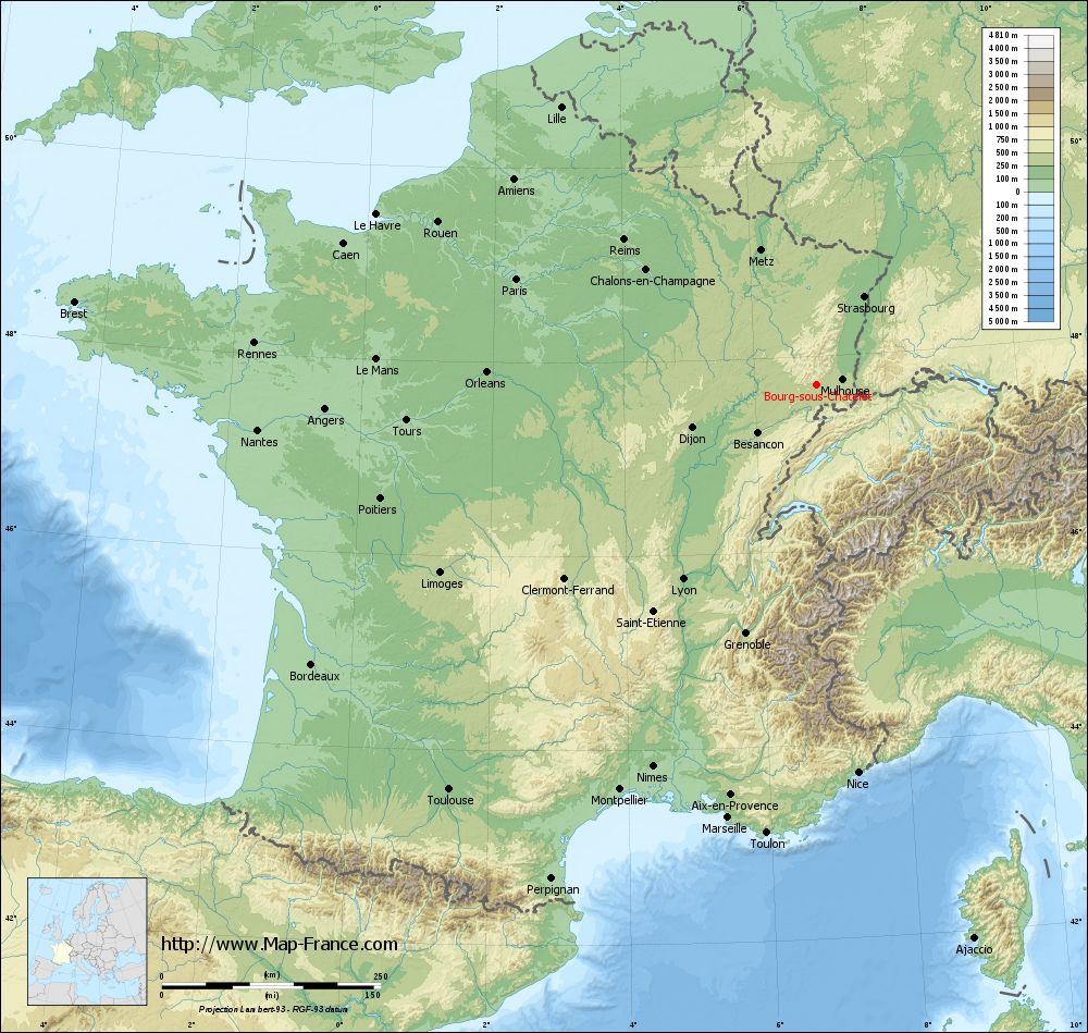
Bourg-sous-Châtelet on the relief France map in Lambert 93 coordinates
|
See the map of Bourg-sous-Châtelet in full screen (1000 x 949)
|
At left, here is the location of Bourg-sous-Châtelet on the relief France map in Lambert 93 coordinates.
Here are the altitudes of Bourg-sous-Châtelet :
- Town hall altitude of Bourg-sous-Châtelet is 400 meters
- Minimum altitude of Bourg-sous-Châtelet is 386 meters
- Maximum altitude of Bourg-sous-Châtelet is 481 meters
- Medium altitude of Bourg-sous-Châtelet is 434 meters
Here are the altitudes of Belfort, prefecture of Territoire de Belfort department:
- Town hall altitude of Belfort is 361 meters
- Minimum altitude of Belfort is 354 meters
- Maximum altitude of Belfort is 650 meters
- Medium altitude of Belfort is 502 meters
Here are the altitudes of the french biggest cities:
Paris : 33 meters
Marseille : 20 meters
Lyon : 237 meters
Toulouse : 146 meters
Nice : 10 meters
Nantes : 20 meters
Strasbourg : 144 meters
Montpellier : 35 meters
Bordeaux : 16 meters
Lille : 20 meters
Rennes : 35 meters
Reims : 83 meters
Click here for the terrain map of Bourg-sous-Châtelet in full screen:
Relief map of Bourg-sous-Châtelet
|
This relief map of Bourg-sous-Châtelet is reusable and modifiable by making a link to this page of the Map-France.com website or by using the given code :
|
Terrain base map of Bourg-sous-Châtelet
|

See the terrain base map of Bourg-sous-Châtelet in full screen (1000 x 949)
|
Small relief base map of Bourg-sous-Châtelet

|
This base map of Bourg-sous-Châtelet is reusable and modifiable by making a link to this page of the Map-France.com website or by using the given code :
|
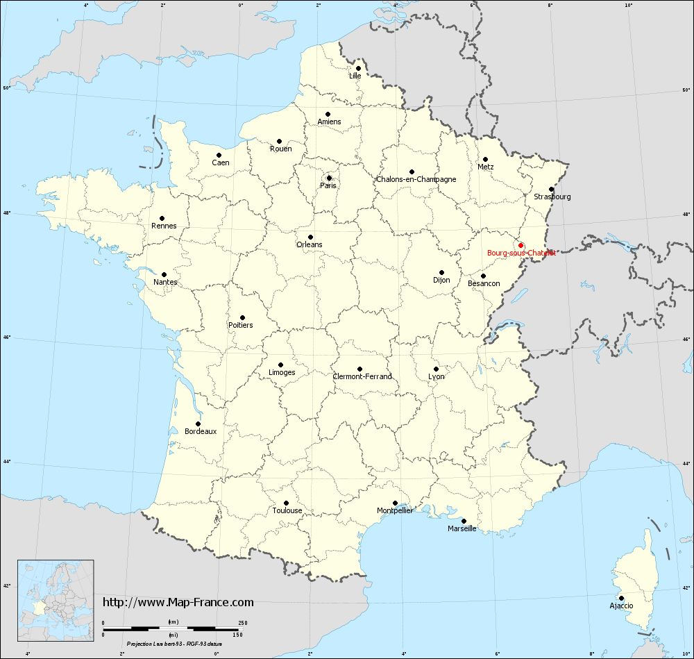
Map of Bourg-sous-Châtelet with regions and prefectures
|
View the map of Bourg-sous-Châtelet in full screen (1000 x 949)
|
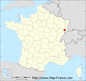
You will find the location of Bourg-sous-Châtelet on the map of France of regions in Lambert 93 coordinates. The town of Bourg-sous-Châtelet is located in the department of Territoire de Belfort of the french region Franche-Comté.
Geographical sexagesimal coordinates / GPS (WGS84):
Latitude: 47° 42' 07'' North
Longitude: 06° 56' 51'' East
Geographical decimal coordinates :
Latitude: 47.704 degrees (47.704° North)
Longitude: 6.948 degrees (6.948° East)
Lambert 93 coordinates :
X: 9 959 hectometers
Y: 67 409 hectometers
Lambert 2 coordinates :
X: 9 459 hectometers
Y: 23 104 hectometers
Below, the geographical coordinates of Belfort, prefecture of the Territoire de Belfort department:
Geographical sexagesimal coordinates / GPS (WGS84):
Latitude: 47° 38' 28'' North
Longitude: 06° 50' 58'' East
Geographical decimal coordinates :
Latitude: 47.642 degrees (47.642° North)
Longitude: 6.856 degrees (6.856° East)
Lambert 93 coordinates :
X: 9 889 hectometers
Y: 67 338 hectometers
Lambert 2 coordinates :
X: 9 389 hectometers
Y: 23 032 hectometers
|
This map of Bourg-sous-Châtelet is reusable and modifiable by making a link to this page of the Map-France.com website or by using the given code :
|
Map of Bourg-sous-Châtelet with departments and prefectures
|
Voir la carte of Bourg-sous-Châtelet en grand format (1000 x 949)
|
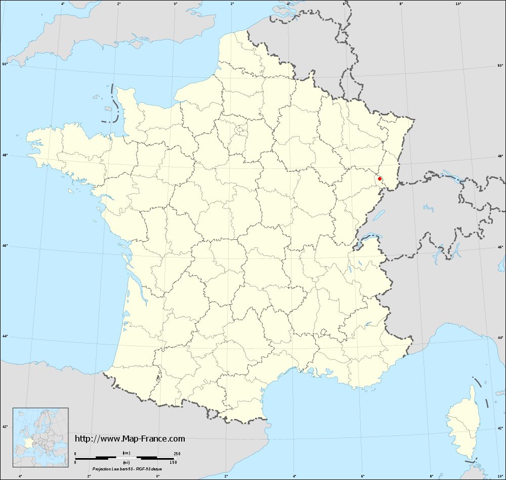
Here is the localization of Bourg-sous-Châtelet on the France map of departments in Lambert 93 coordinates. The city of Bourg-sous-Châtelet is shown on the map by a red point.
The town of Bourg-sous-Châtelet is located in the department of Territoire de Belfort of the french region Franche-Comté.
The latitude of Bourg-sous-Châtelet is 47.704 degrees North.
The longitude of Bourg-sous-Châtelet is 6.948 degrees East.
Here the distance between Bourg-sous-Châtelet and the biggest cities of France:
Distances are calculated as the crow flies (orthodromic distance)
Distance between Bourg-sous-Châtelet and Paris : 363.67 kilometers
Distance between Bourg-sous-Châtelet and Marseille : 504.25 kilometers
Distance between Bourg-sous-Châtelet and Lyon : 269.40 kilometers
Distance between Bourg-sous-Châtelet and Toulouse : 624.42 kilometers
Distance between Bourg-sous-Châtelet and Nice : 444.91 kilometers
Distance between Bourg-sous-Châtelet and Nantes : 640.61 kilometers
Distance between Bourg-sous-Châtelet and Strasbourg : 114.64 kilometers
Distance between Bourg-sous-Châtelet and Montpellier : 513.76 kilometers
Distance between Bourg-sous-Châtelet and Bordeaux : 659.06 kilometers
Distance between Bourg-sous-Châtelet and Lille : 431.09 kilometers
Distance between Bourg-sous-Châtelet and Rennes : 643.88 kilometers
Distance between Bourg-sous-Châtelet and Reims : 275.55 kilometers
Clic here to see the map of Bourg-sous-Châtelet in full screen:
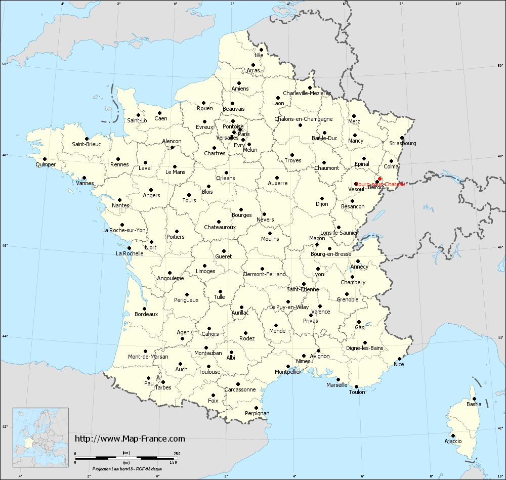
Bourg-sous-Châtelet on the map of french departments
|
This administrative map of Bourg-sous-Châtelet is reusable and modifiable by making a link to this page of the Map-France.com website or by using the given code :
|
Administrative base maps of Bourg-sous-Châtelet
|
See the administrative base map of Bourg-sous-Châtelet in full screen (1000 x 949)
|
Small administrative base map of Bourg-sous-Châtelet
|
This base map administrative of Bourg-sous-Châtelet is reusable and modifiable by making a link to this page of the Map-France.com website or by using the given code :
|
 French Version : http://www.cartesfrance.fr