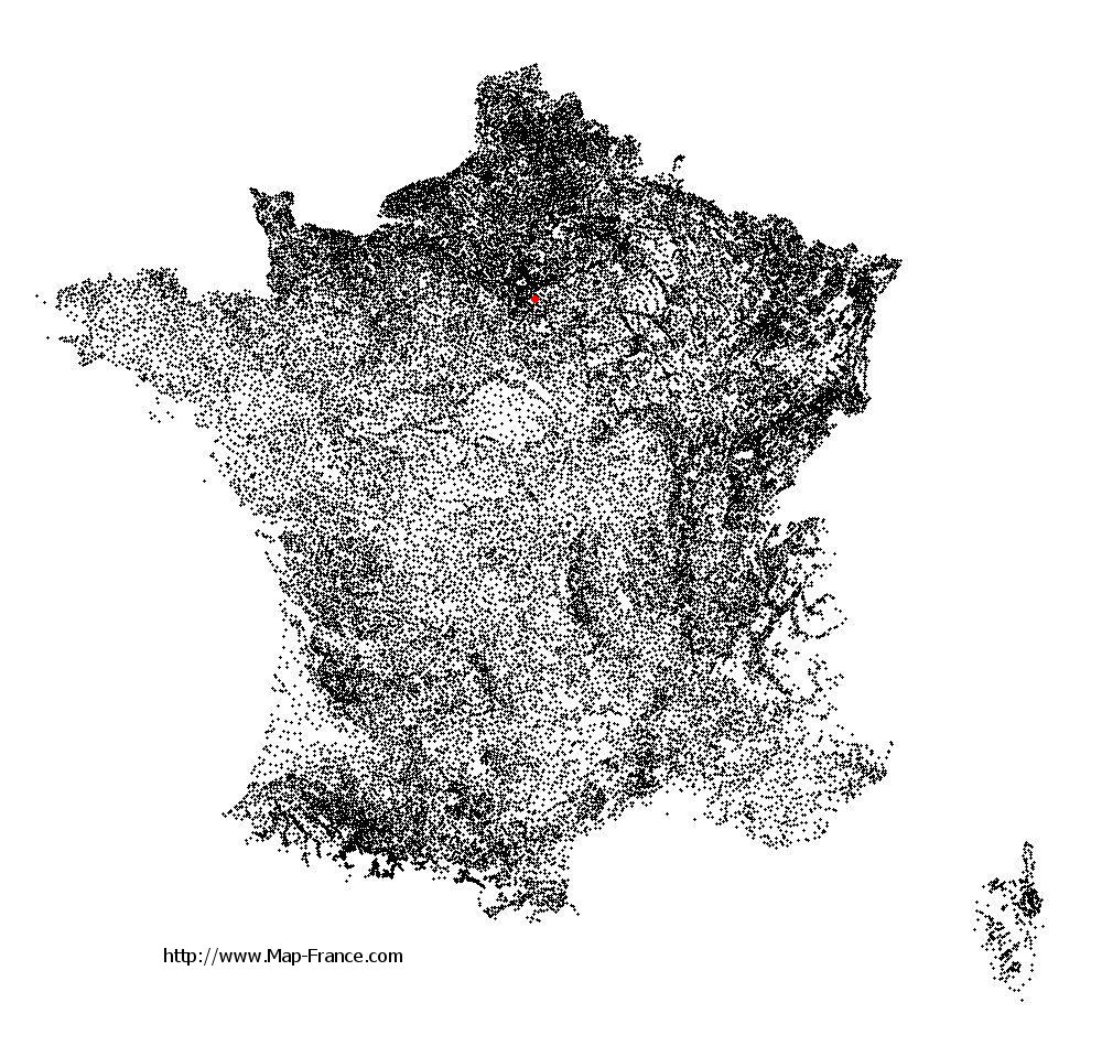
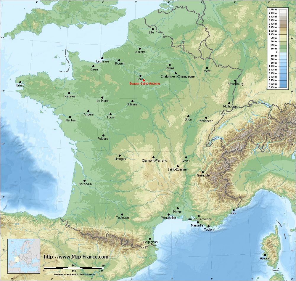
Boussy-Saint-Antoine on the relief France map in Lambert 93 coordinates
|
See the map of Boussy-Saint-Antoine in full screen (1000 x 949)
|
At left, here is the location of Boussy-Saint-Antoine on the relief France map in Lambert 93 coordinates.
Here are the altitudes of Boussy-Saint-Antoine :
- Town hall altitude of Boussy-Saint-Antoine is 60 meters
- Minimum altitude of Boussy-Saint-Antoine is 39 meters
- Maximum altitude of Boussy-Saint-Antoine is 90 meters
- Medium altitude of Boussy-Saint-Antoine is 65 meters
Here are the altitudes of Évry, prefecture of Essonne department:
- Town hall altitude of Évry is 75 meters
- Minimum altitude of Évry is 32 meters
- Maximum altitude of Évry is 95 meters
- Medium altitude of Évry is 64 meters
Here are the altitudes of the french biggest cities:
Paris : 33 meters
Marseille : 20 meters
Lyon : 237 meters
Toulouse : 146 meters
Nice : 10 meters
Nantes : 20 meters
Strasbourg : 144 meters
Montpellier : 35 meters
Bordeaux : 16 meters
Lille : 20 meters
Rennes : 35 meters
Reims : 83 meters
Click here for the terrain map of Boussy-Saint-Antoine in full screen:
Relief map of Boussy-Saint-Antoine
|
This relief map of Boussy-Saint-Antoine is reusable and modifiable by making a link to this page of the Map-France.com website or by using the given code :
|
Terrain base map of Boussy-Saint-Antoine
|

See the terrain base map of Boussy-Saint-Antoine in full screen (1000 x 949)
|
Small relief base map of Boussy-Saint-Antoine

|
This base map of Boussy-Saint-Antoine is reusable and modifiable by making a link to this page of the Map-France.com website or by using the given code :
|
Map of Boussy-Saint-Antoine with regions and prefectures
|
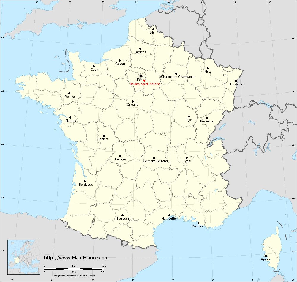
View the map of Boussy-Saint-Antoine in full screen (1000 x 949)
|
You will find the location of Boussy-Saint-Antoine on the map of France of regions in Lambert 93 coordinates. The city of Boussy-Saint-Antoine is located in the department of Essonne of the french region Île-de-France.
Geographical sexagesimal coordinates / GPS (WGS84):
Latitude: 48° 41' 27'' North
Longitude: 02° 31' 57'' East
Geographical decimal coordinates :
Latitude: 48.691 degrees (48.691° North)
Longitude: 2.533 degrees (2.533° East)
Lambert 93 coordinates :
X: 6 656 hectometers
Y: 68 435 hectometers
Lambert 2 coordinates :
X: 6 144 hectometers
Y: 24 103 hectometers
Below, the geographical coordinates of Évry, prefecture of the Essonne department:
Geographical sexagesimal coordinates / GPS (WGS84):
Latitude: 48° 38' 02'' North
Longitude: 02° 26' 39'' East
Geographical decimal coordinates :
Latitude: 48.636 degrees (48.636° North)
Longitude: 2.443 degrees (2.443° East)
Lambert 93 coordinates :
X: 6 590 hectometers
Y: 68 372 hectometers
Lambert 2 coordinates :
X: 6 079 hectometers
Y: 24 039 hectometers
|
This map of Boussy-Saint-Antoine is reusable and modifiable by making a link to this page of the Map-France.com website or by using the given code :
|
Map of Boussy-Saint-Antoine with departments and prefectures
|
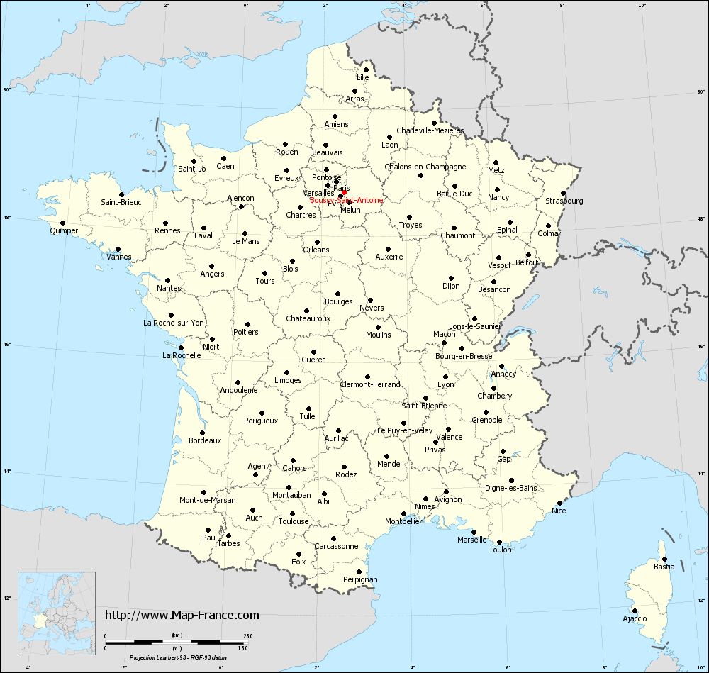
Voir la carte of Boussy-Saint-Antoine en grand format (1000 x 949)
|
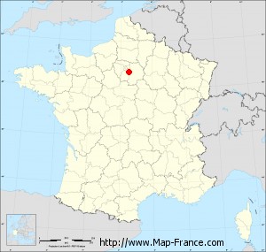
Here is the localization of Boussy-Saint-Antoine on the France map of departments in Lambert 93 coordinates. The city of Boussy-Saint-Antoine is shown on the map by a red point.
The city of Boussy-Saint-Antoine is located in the department of Essonne of the french region Île-de-France.
The latitude of Boussy-Saint-Antoine is 48.691 degrees North.
The longitude of Boussy-Saint-Antoine is 2.533 degrees East.
Here the distance between Boussy-Saint-Antoine and the biggest cities of France:
Distances are calculated as the crow flies (orthodromic distance)
Distance between Boussy-Saint-Antoine and Paris : 23.35 kilometers
Distance between Boussy-Saint-Antoine and Marseille : 638.64 kilometers
Distance between Boussy-Saint-Antoine and Lyon : 369.01 kilometers
Distance between Boussy-Saint-Antoine and Toulouse : 571.68 kilometers
Distance between Boussy-Saint-Antoine and Nice : 662.26 kilometers
Distance between Boussy-Saint-Antoine and Nantes : 345.18 kilometers
Distance between Boussy-Saint-Antoine and Strasbourg : 383.59 kilometers
Distance between Boussy-Saint-Antoine and Montpellier : 573.94 kilometers
Distance between Boussy-Saint-Antoine and Bordeaux : 488.45 kilometers
Distance between Boussy-Saint-Antoine and Lille : 218.39 kilometers
Distance between Boussy-Saint-Antoine and Rennes : 317.41 kilometers
Distance between Boussy-Saint-Antoine and Reims : 126.17 kilometers
Clic here to see the map of Boussy-Saint-Antoine in full screen:
Boussy-Saint-Antoine on the map of french departments
|
This administrative map of Boussy-Saint-Antoine is reusable and modifiable by making a link to this page of the Map-France.com website or by using the given code :
|
Administrative base maps of Boussy-Saint-Antoine
|

See the administrative base map of Boussy-Saint-Antoine in full screen (1000 x 949)
|
Small administrative base map of Boussy-Saint-Antoine
|
This base map administrative of Boussy-Saint-Antoine is reusable and modifiable by making a link to this page of the Map-France.com website or by using the given code :
|
 French Version : http://www.cartesfrance.fr