|
The village of Brangues is a small village located south east of France. The town of Brangues is located in the department of Isère of the french region Rhône-Alpes. The town of Brangues is located in the township of Morestel part of the district of La Tour-du-Pin. The area code for Brangues is 38055 (also known as code INSEE), and the Brangues zip code is 38510.
Geography and map of Brangues :
The altitude of the city hall of Brangues is approximately 220 meters. The Brangues surface is 11.67 km ². The latitude and longitude of Brangues are 45.694 degrees North and 5.53 degrees East.
Nearby cities and towns of Brangues are :
Saint-Victor-de-Morestel (38510) at 2.24 km, Le Bouchage (38510) at 2.54 km, Groslée (01680) at 3.72 km, Saint-Benoît (01300) at 4.41 km, Morestel (38510) at 5.03 km, Creys-Mépieu (38510) at 5.09 km, Lhuis (01680) at 5.96 km, Vézeronce-Curtin (38510) at 6.70 km.
(The distances to these nearby towns of Brangues are calculated as the crow flies)
Population and housing of Brangues :
The population of Brangues was 469 in 1999, 554 in 2006 and 566 in 2007. The population density of Brangues is 48.50 inhabitants per km². The number of housing of Brangues was 273 in 2007. These homes of Brangues consist of 214 main residences, 36 second or occasional homes and 23 vacant homes. |
|
|
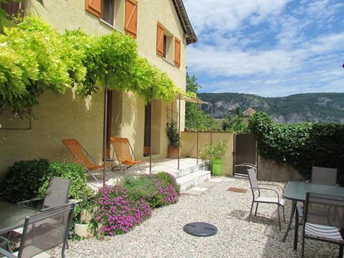
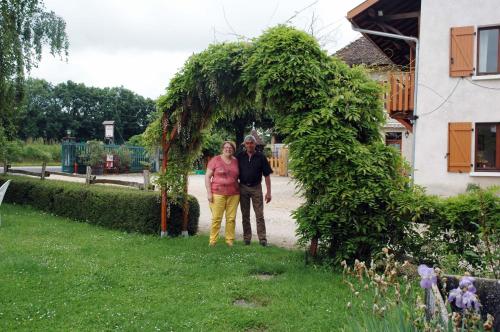
Hotel Brangues
|
|
|
Book now ! Best Price Guaranteed, no booking fees, pay at the hotel with our partner Booking.com, leader in online hotel reservation.
Find all hotels of Brangues : Hotel Brangues
| |
|
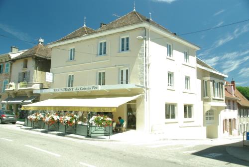
Located in the centre of Morestel, Hotel de France offers accommodation just 6 km from the themepark Walibi Park. Free Wi-Fi is available throughout. Guest rooms feature city v...
Rate : from 83.00 €
to 130.00 €
Address : 319 Grande Rue 38510 Morestel
Distance Hotel - Brangues : 5.01 km
|
|
|
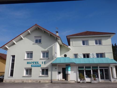
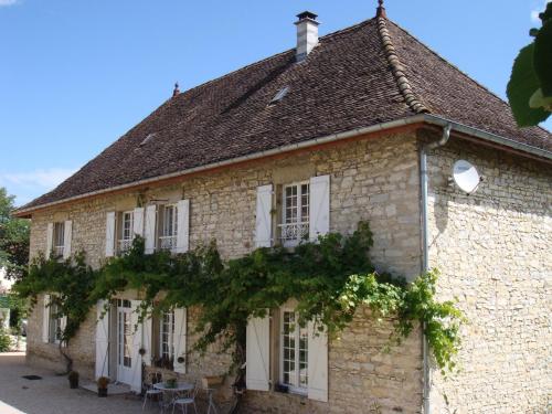
Hotel : Servhotel

The Hôtel Servhotel is located in Morestel, in the Isère region of south-eastern France. Guest rooms are equipped with free Wi-Fi access and a flat-screen TV with satellite chan...
Price : from 49.00 €
to 100.00 €
Contact : 89 Route De Grenoble 38510 Morestel
Distance Hotel - Brangues : 5.24 km
|
|
|
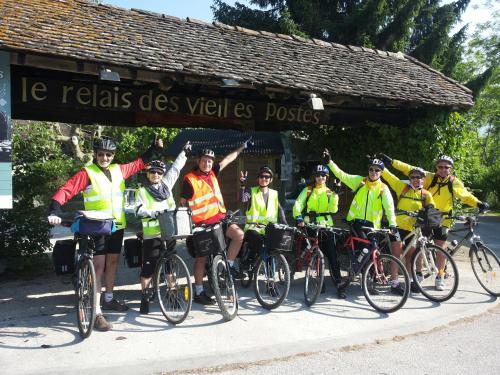
Hotel : Le Relais Des Vieilles Postes
Offering free WiFi, Le Relais Des Vieilles Postes offers pet-friendly accommodation in Les Avenières. The hotel has a children's playground and sun terrace, and guests can enjoy...
Prices : from 65.00 €
to 90.00 €
Contact : 1172 Route Des Nappes 38630 Les Avenières
Distance Hotel - Brangues : 5.64 km
|
|
|
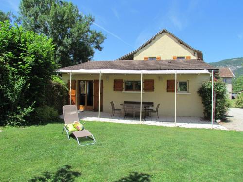
Guest accommodation : Gite D'étape Et De Séjour Les Sables

Featuring a barbecue, Gite D'étape Et De Séjour Les Sables is a detached holiday home situated in Brégnier-Cordon in the Rhône-Alps Region. It provides free private parking. Fre...
Rate : from 130.00 €
to 160.00 €
Contact : Les Sables 01300 Brégnier-Cordon
Distance Guest accommodation - Brangues : 6.28 km
|
|
|
Guest accommodation : Gîte De Séjour Les Sables
Gîte De Séjour Les Sables is located in Brégnier-Cordon in the Rhône-Alps Region. Guests benefit from free WiFi and private parking available on site. There is a seating area, ...
Price : from 50.00 €
to 90.00 €
Address : les sables 01300 Brégnier-Cordon
Distance Guest accommodation - Brangues : 6.69 km
|
|
|
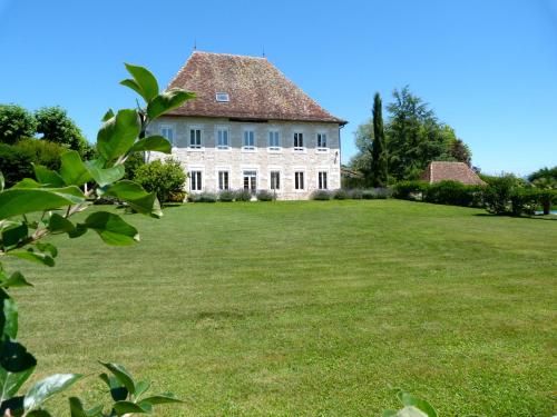
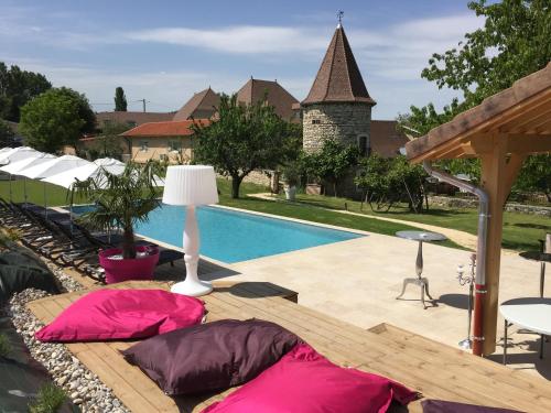
Bed and Breakfast : Domaine Du Manoir
With views of the Chartreuse Mountains and Bugey vineyards, Domaine Du Manoir features an outdoor swimming pool, private terrace and tennis court. The rooms at Domaine Du Manoi...
Prices : from 110.00 €
to 195.00 €
Contact : 176 route du Quinquet 38630 Les Avenières
Distance Bed and Breakfast - Brangues : 7.28 km
|
|
|
Bed and Breakfast : Goute la vie
Located in Marchamp, 51 km from Aix-les-Bains, Goute la vie features a seasonal outdoor pool and barbecue. The bed and breakfast has a children's playground and terrace, and gue...
Rate : from 55.00 €
to 105.00 €
Contact : 30 Rue du Clos Cerin - Marchamps 01680 Marchamp
Distance Bed and Breakfast - Brangues : 9.45 km
|
|
|
Guest accommodation : La Bardelière
Located in Corbelin, La Bardelière features free WiFi and units equipped with a kitchen. Each unit is fitted with a dishwasher, oven, a coffee machine, as well as a microwave a...
Price : from 55.00 €
to 85.00 €
Contact : 725 Route De La Chèvre 38630 Corbelin
Distance Guest accommodation - Brangues : 10.04 km
|
|
|
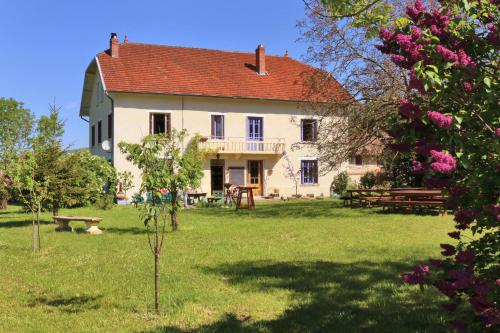
Guest accommodation : Maison Rioufol
Offering an outdoor pool and a table d'hote menu upon request, Maison Rioufol is located in Creys. Free WiFi access is available. Each room here will provide you with a TV, a t...
Prices : from 115.00 €
to 145.00 €
Address : 51, rue de Pènelon 38510 Creys-et-Pusigneu
Distance Guest accommodation - Brangues : 10.07 km
|
|
|
Located in Vignieu and set within an 8 hectare garden with a heated swimming pool, Domaine de Suzel offers a variety of accommodation in an 18th century building. Free WiFi is a...
Rate : from 79.00 €
to 450.00 €
Contact : 267 route de Suzel 38890 Vignieu
Distance Hotel - Brangues : 10.16 km
|
|
Find another hotel near Brangues : Brangues hotels list
|
Map of Brangues
|
|
Map of Brangues :
At right you can find the localization of Brangues on the map of France. Below, this is the satellite map of Brangues. A road map, and maps templates of Brangues are available here : "road map of Brangues". This map show Brangues seen by the satellite of Google Map. To see the streets of Brangues or move on another zone, use the buttons "zoom" and "map" on top of this dynamic map.
Search on the map of Brangues :
To search hotels, housings, tourist information office, administrations or other services, use the Google search integrated to the map on the following page : "map Brangues".
Hotels of Brangues are listed on the map with the following icons: 
The map of Brangues is centred in the following coordinates :
|

|
|
|
|
Print the map of Brangues

Print the map of Brangues : map of Brangues
|
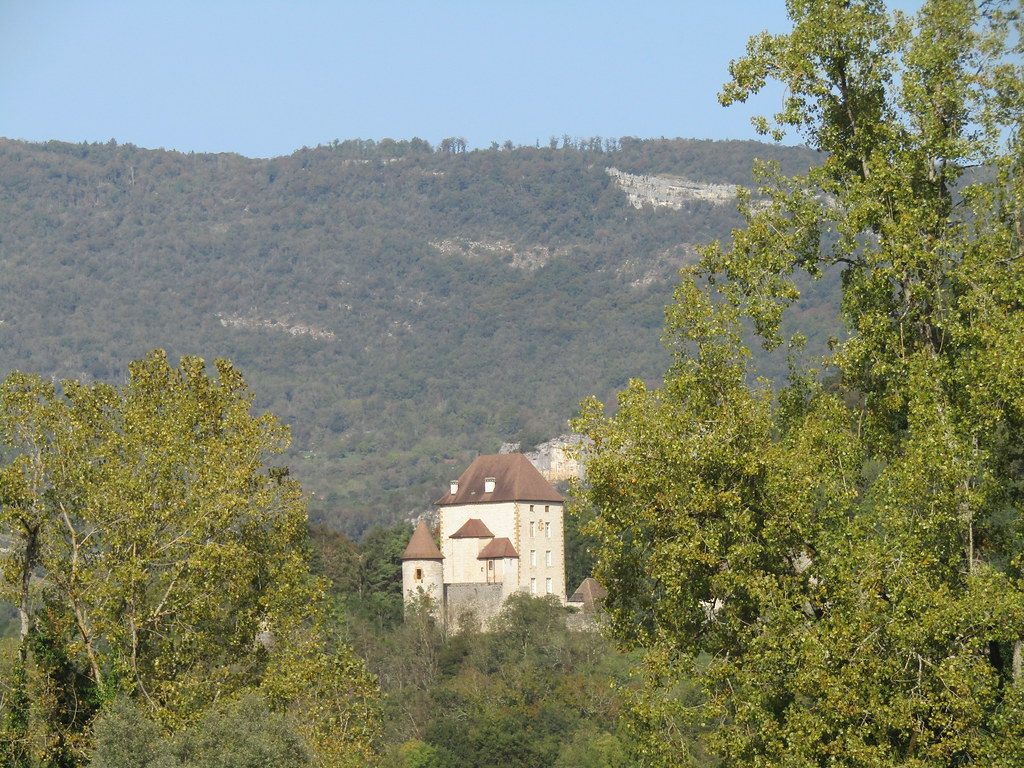
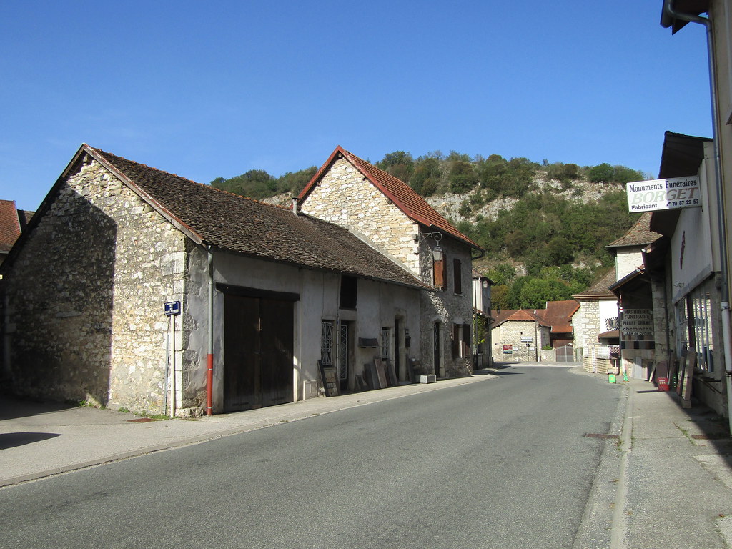
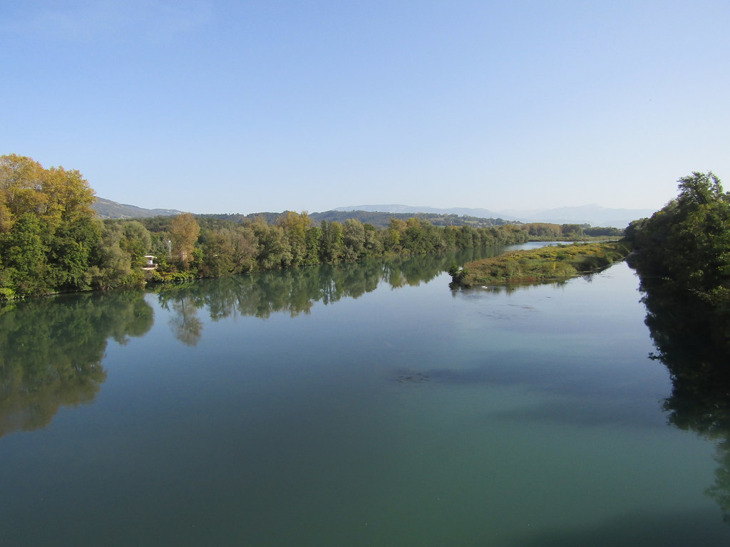
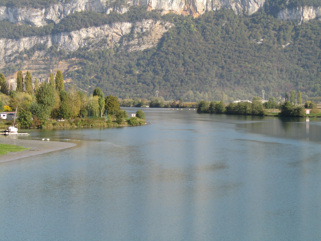
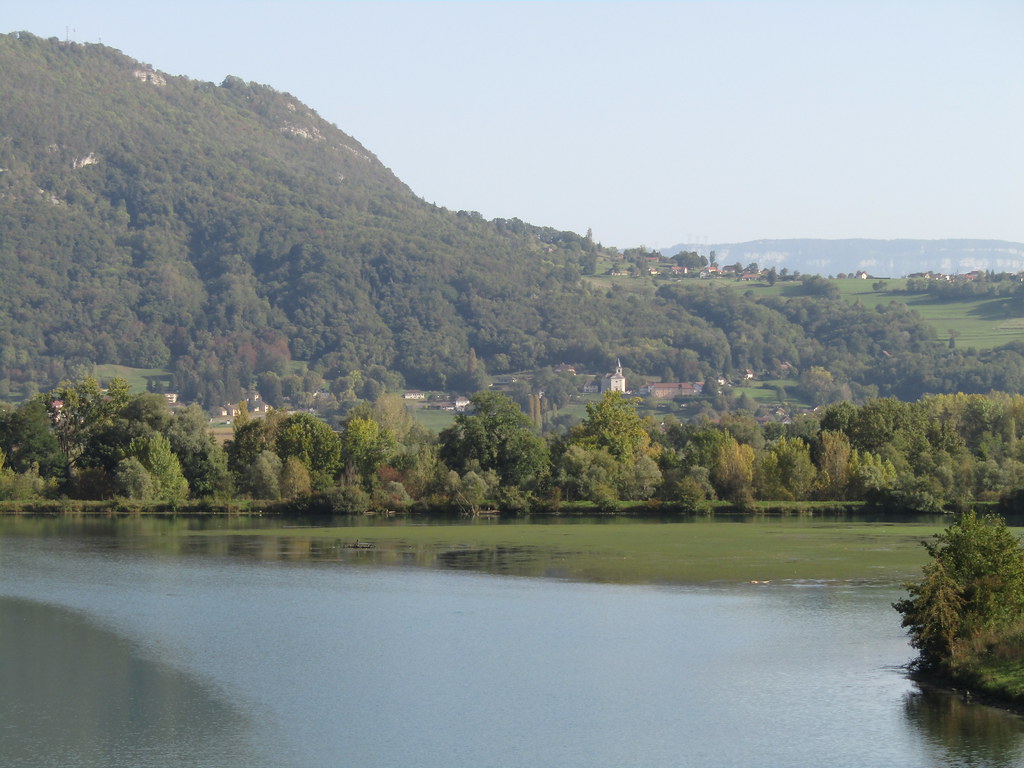
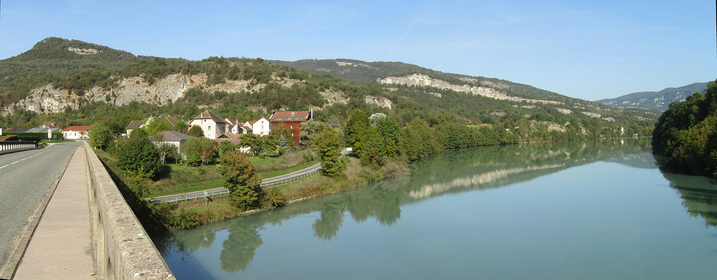
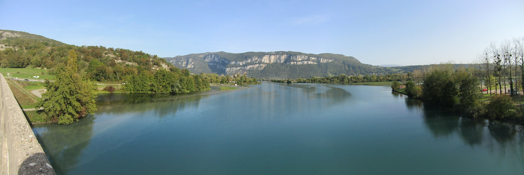
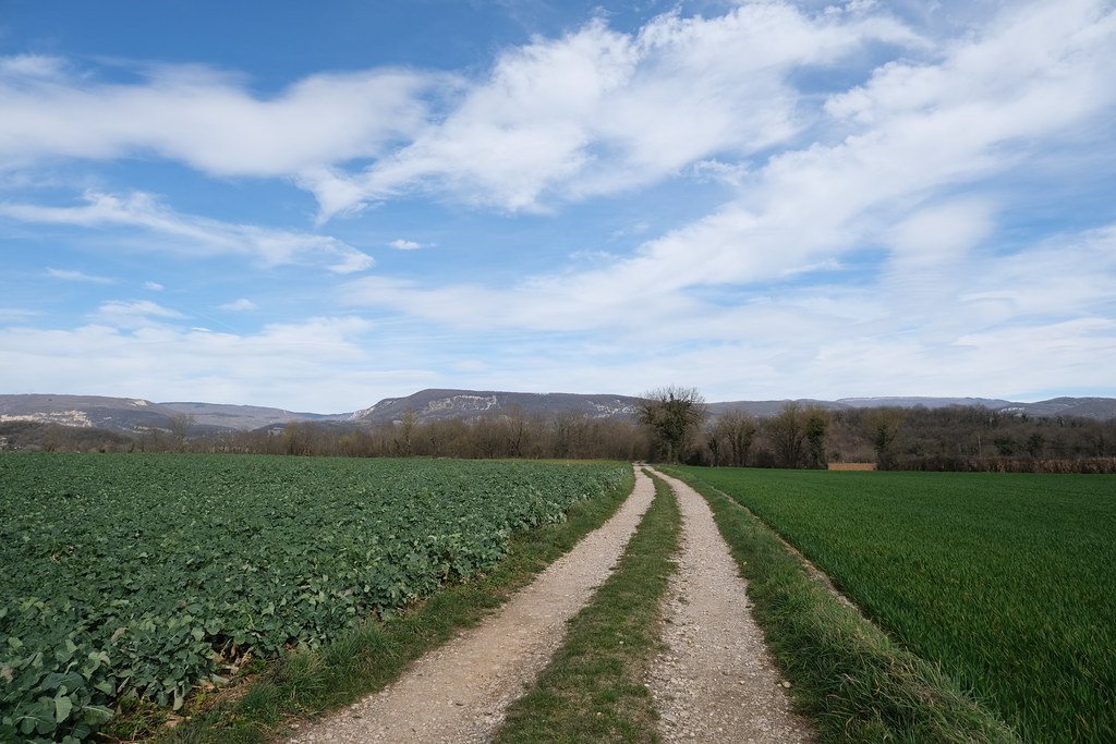
Photos Brangues
|
See all photos of Brangues :
Other photos of Brangues and nearby towns can be found here: photos Brangues
|
|
Brangues weather forecast
Find next hours and 7 days weather forecast for Brangues here : weather Brangues (with english metrics)
This is the last weather forecast for Brangues collected by the nearest observation station of Morestel.
Week Forecast:
The latest weather data for Brangues were collected Wednesday, 24 April 2024 at 13:00 from the nearest observation station of Morestel.
| Wednesday, April 24th |
12°C 1°C
22%
64%
|
Partly cloudy
Temperature Max: 12°C Temperature Min: 1°C
Precipitation Probability: 22% (Rain)
Percentage of sky occluded by clouds: 64%
Wind speed: 11 km/h South-East
Humidity: 60%° UV Index: 4
Sunrise: 06:36 Sunset: 20:37 |
|
| | Thursday, April 25th |
14°C 0°C
0%
45%
|
Partly cloudy
Temperature Max: 14°C Temperature Min: 0°C
Precipitation Probability: 0%
Percentage of sky occluded by clouds: 45%
Wind speed: 4 km/h East
Humidity: 59%° UV Index: 4
Sunrise: 06:34 Sunset: 20:38 |
|
| | Friday, April 26th |
14°C 7°C
72%
91%
|
Drizzle
Temperature Max: 14°C Temperature Min: 7°C
Precipitation Probability: 72% (Rain)
Percentage of sky occluded by clouds: 91%
Wind speed: 7 km/h North
Humidity: 74%° UV Index: 3
Sunrise: 06:33 Sunset: 20:39 |
|
| | Saturday, April 27th |
19°C 6°C
49%
88%
|
Mostly cloudy
Temperature Max: 19°C Temperature Min: 6°C
Precipitation Probability: 49% (Rain)
Percentage of sky occluded by clouds: 88%
Wind speed: 9 km/h North-West
Humidity: 60%° UV Index: 3
Sunrise: 06:31 Sunset: 20:40 |
|
|
Attribution: 
|
|
Other maps, hotels and towns in france
Find another town, zip code, department, region, ...
Quick links Brangues :
Make a link to this page of Brangues with the following code :
|
|
|
 French Version : http://www.cartesfrance.fr/carte-france-ville/38055_Brangues.html