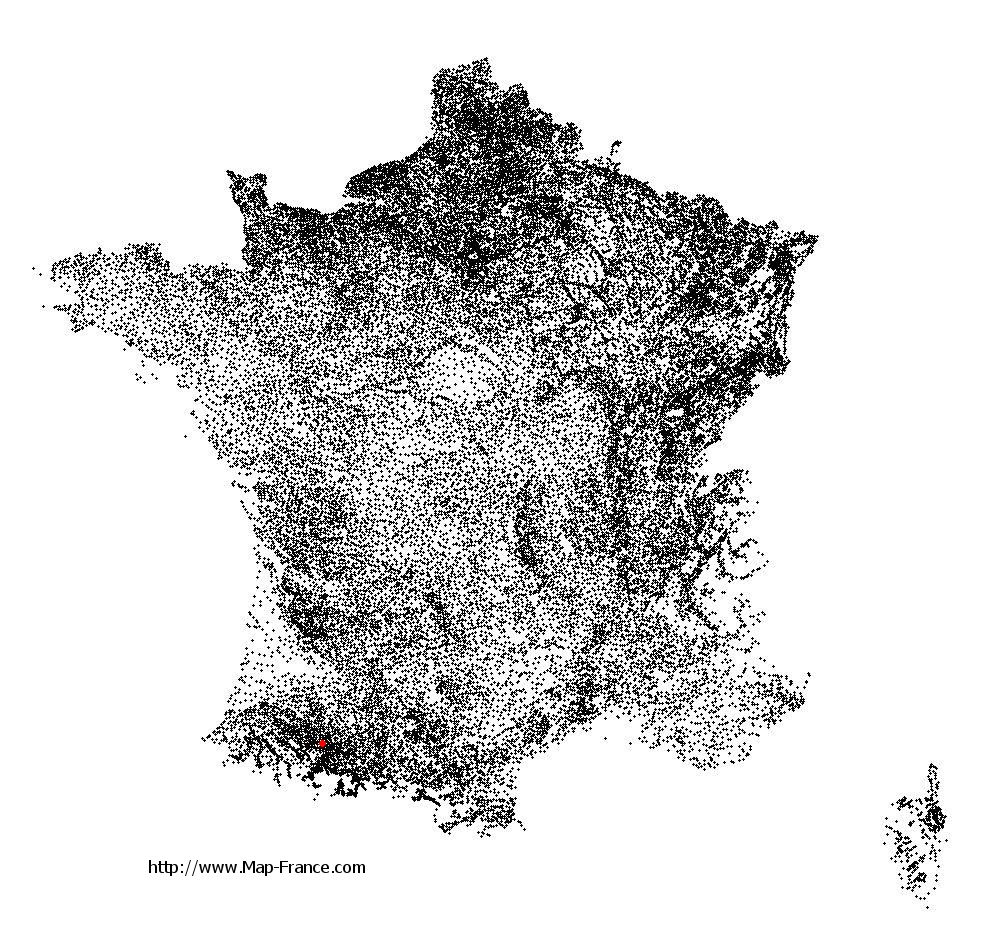
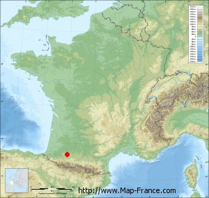
Camalès on the relief France map in Lambert 93 coordinates
|

See the map of Camalès in full screen (1000 x 949)
|
At left, here is the location of Camalès on the relief France map in Lambert 93 coordinates.
Here are the altitudes of Camalès :
- Town hall altitude of Camalès is 230 meters
- Minimum altitude of Camalès is 221 meters
- Maximum altitude of Camalès is 239 meters
- Medium altitude of Camalès is 230 meters
Here are the altitudes of Tarbes, prefecture of Hautes-Pyrénées department:
- Town hall altitude of Tarbes is 311 meters
- Minimum altitude of Tarbes is 284 meters
- Maximum altitude of Tarbes is 326 meters
- Medium altitude of Tarbes is 305 meters
Here are the altitudes of the french biggest cities:
Paris : 33 meters
Marseille : 20 meters
Lyon : 237 meters
Toulouse : 146 meters
Nice : 10 meters
Nantes : 20 meters
Strasbourg : 144 meters
Montpellier : 35 meters
Bordeaux : 16 meters
Lille : 20 meters
Rennes : 35 meters
Reims : 83 meters
Click here for the terrain map of Camalès in full screen:
Relief map of Camalès
|
This relief map of Camalès is reusable and modifiable by making a link to this page of the Map-France.com website or by using the given code :
|
Terrain base map of Camalès
|

See the terrain base map of Camalès in full screen (1000 x 949)
|
Small relief base map of Camalès
|
This base map of Camalès is reusable and modifiable by making a link to this page of the Map-France.com website or by using the given code :
|
Map of Camalès with regions and prefectures
|
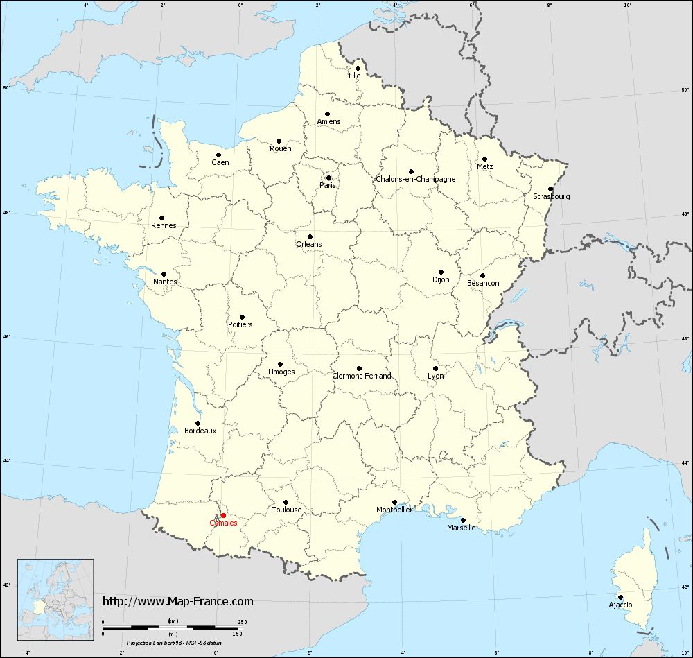
View the map of Camalès in full screen (1000 x 949)
|
You will find the location of Camalès on the map of France of regions in Lambert 93 coordinates. The town of Camalès is located in the department of Hautes-Pyrénées of the french region Midi-Pyrénées.
Geographical sexagesimal coordinates / GPS (WGS84):
Latitude: 43° 21' 37'' North
Longitude: 00° 04' 29'' East
Geographical decimal coordinates :
Latitude: 43.361 degrees (43.361° North)
Longitude: 0.074 degrees (0.074° East)
Lambert 93 coordinates :
X: 4 628 hectometers
Y: 62 556 hectometers
Lambert 2 coordinates :
X: 4 164 hectometers
Y: 18 202 hectometers
Below, the geographical coordinates of Tarbes, prefecture of the Hautes-Pyrénées department:
Geographical sexagesimal coordinates / GPS (WGS84):
Latitude: 43° 13' 58'' North
Longitude: 00° 04' 28'' East
Geographical decimal coordinates :
Latitude: 43.234 degrees (43.234° North)
Longitude: 0.071 degrees (0.071° East)
Lambert 93 coordinates :
X: 4 622 hectometers
Y: 62 415 hectometers
Lambert 2 coordinates :
X: 4 159 hectometers
Y: 18 060 hectometers
|
This map of Camalès is reusable and modifiable by making a link to this page of the Map-France.com website or by using the given code :
|
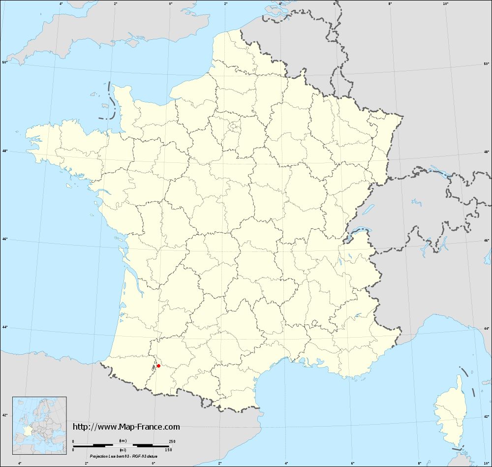
Map of Camalès with departments and prefectures
|
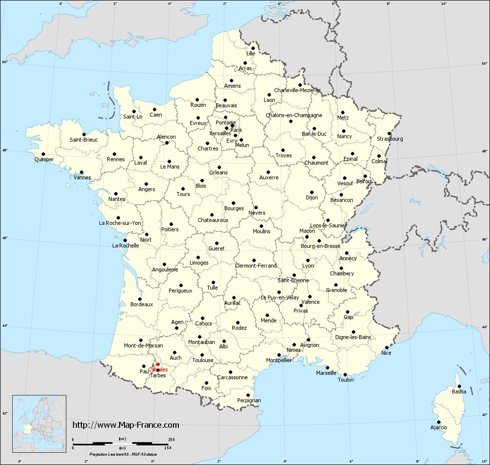
Voir la carte of Camalès en grand format (1000 x 949)
|
Here is the localization of Camalès on the France map of departments in Lambert 93 coordinates. The city of Camalès is shown on the map by a red point.
The town of Camalès is located in the department of Hautes-Pyrénées of the french region Midi-Pyrénées.
The latitude of Camalès is 43.361 degrees North.
The longitude of Camalès is 0.074 degrees East.
Here the distance between Camalès and the biggest cities of France:
Distances are calculated as the crow flies (orthodromic distance)
Distance between Camalès and Paris : 635.56 kilometers
Distance between Camalès and Marseille : 430.36 kilometers
Distance between Camalès and Lyon : 461.46 kilometers
Distance between Camalès and Toulouse : 114.05 kilometers
Distance between Camalès and Nice : 580.06 kilometers
Distance between Camalès and Nantes : 447.15 kilometers
Distance between Camalès and Strasbourg : 829.08 kilometers
Distance between Camalès and Montpellier : 307.52 kilometers
Distance between Camalès and Bordeaux : 172.64 kilometers
Distance between Camalès and Lille : 838.04 kilometers
Distance between Camalès and Rennes : 544.65 kilometers
Distance between Camalès and Reims : 721.92 kilometers
Clic here to see the map of Camalès in full screen:
Camalès on the map of french departments
|
This administrative map of Camalès is reusable and modifiable by making a link to this page of the Map-France.com website or by using the given code :
|
Administrative base maps of Camalès
|
See the administrative base map of Camalès in full screen (1000 x 949)
|
Small administrative base map of Camalès
|
This base map administrative of Camalès is reusable and modifiable by making a link to this page of the Map-France.com website or by using the given code :
|
 French Version : http://www.cartesfrance.fr