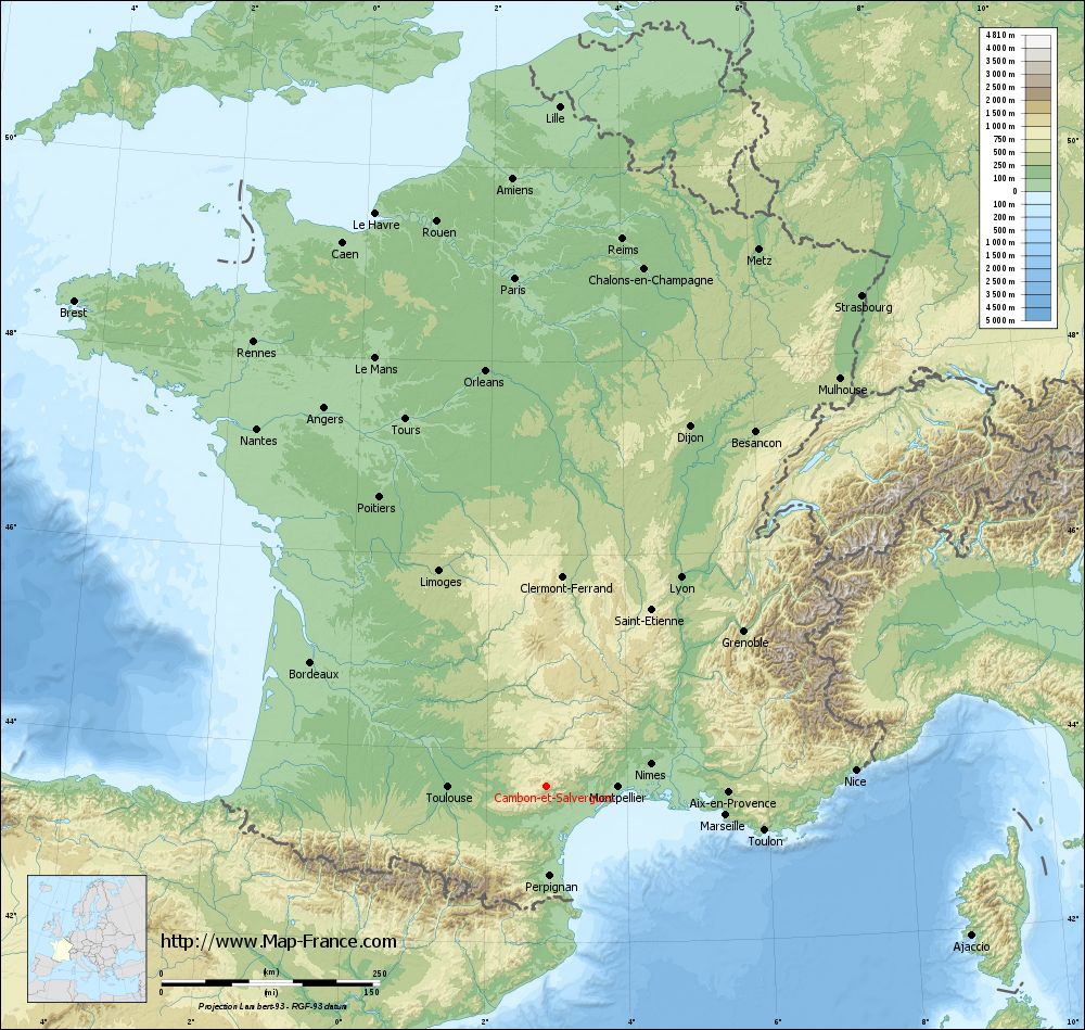
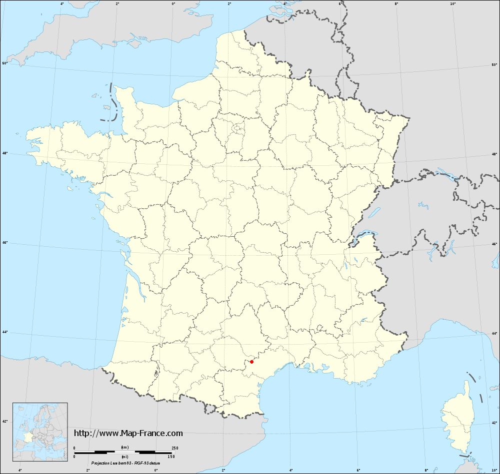
Cambon-et-Salvergues on the relief France map in Lambert 93 coordinates
|
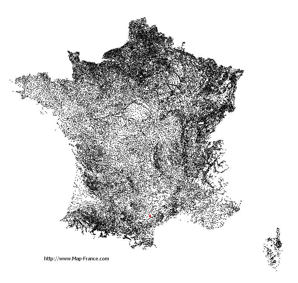
See the map of Cambon-et-Salvergues in full screen (1000 x 949)
|
At left, here is the location of Cambon-et-Salvergues on the relief France map in Lambert 93 coordinates.
Here are the altitudes of Cambon-et-Salvergues :
- Town hall altitude of Cambon-et-Salvergues is 878 meters
- Minimum altitude of Cambon-et-Salvergues is 511 meters
- Maximum altitude of Cambon-et-Salvergues is 1 152 meters
- Medium altitude of Cambon-et-Salvergues is 832 meters
Here are the altitudes of Montpellier, prefecture of Hérault department:
- Town hall altitude of Montpellier is 35 meters
- Minimum altitude of Montpellier is 7 meters
- Maximum altitude of Montpellier is 121 meters
- Medium altitude of Montpellier is 64 meters
Here are the altitudes of the french biggest cities:
Paris : 33 meters
Marseille : 20 meters
Lyon : 237 meters
Toulouse : 146 meters
Nice : 10 meters
Nantes : 20 meters
Strasbourg : 144 meters
Montpellier : 35 meters
Bordeaux : 16 meters
Lille : 20 meters
Rennes : 35 meters
Reims : 83 meters
Click here for the terrain map of Cambon-et-Salvergues in full screen:
Relief map of Cambon-et-Salvergues
|
This relief map of Cambon-et-Salvergues is reusable and modifiable by making a link to this page of the Map-France.com website or by using the given code :
|
Terrain base map of Cambon-et-Salvergues
|

See the terrain base map of Cambon-et-Salvergues in full screen (1000 x 949)
|
Small relief base map of Cambon-et-Salvergues
|
This base map of Cambon-et-Salvergues is reusable and modifiable by making a link to this page of the Map-France.com website or by using the given code :
|
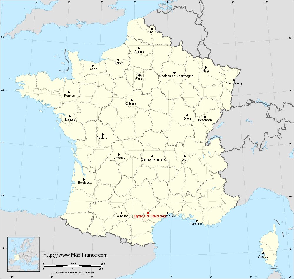
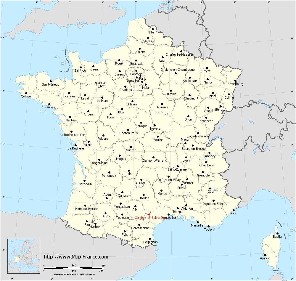
Map of Cambon-et-Salvergues with regions and prefectures
|
View the map of Cambon-et-Salvergues in full screen (1000 x 949)
|
You will find the location of Cambon-et-Salvergues on the map of France of regions in Lambert 93 coordinates. The town of Cambon-et-Salvergues is located in the department of Hérault of the french region Languedoc-Roussillon.
Geographical sexagesimal coordinates / GPS (WGS84):
Latitude: 43° 37' 05'' North
Longitude: 02° 51' 31'' East
Geographical decimal coordinates :
Latitude: 43.617 degrees (43.617° North)
Longitude: 2.859 degrees (2.859° East)
Lambert 93 coordinates :
X: 6 886 hectometers
Y: 62 799 hectometers
Lambert 2 coordinates :
X: 6 422 hectometers
Y: 18 464 hectometers
Below, the geographical coordinates of Montpellier, prefecture of the Hérault department:
Geographical sexagesimal coordinates / GPS (WGS84):
Latitude: 43° 36' 40'' North
Longitude: 03° 52' 36'' East
Geographical decimal coordinates :
Latitude: 43.609 degrees (43.609° North)
Longitude: 3.874 degrees (3.874° East)
Lambert 93 coordinates :
X: 7 708 hectometers
Y: 62 795 hectometers
Lambert 2 coordinates :
X: 7 245 hectometers
Y: 18 467 hectometers
|
This map of Cambon-et-Salvergues is reusable and modifiable by making a link to this page of the Map-France.com website or by using the given code :
|
Map of Cambon-et-Salvergues with departments and prefectures
|
Voir la carte of Cambon-et-Salvergues en grand format (1000 x 949)
|
Here is the localization of Cambon-et-Salvergues on the France map of departments in Lambert 93 coordinates. The city of Cambon-et-Salvergues is shown on the map by a red point.
The town of Cambon-et-Salvergues is located in the department of Hérault of the french region Languedoc-Roussillon.
The latitude of Cambon-et-Salvergues is 43.617 degrees North.
The longitude of Cambon-et-Salvergues is 2.859 degrees East.
Here the distance between Cambon-et-Salvergues and the biggest cities of France:
Distances are calculated as the crow flies (orthodromic distance)
Distance between Cambon-et-Salvergues and Paris : 583.93 kilometers
Distance between Cambon-et-Salvergues and Marseille : 207.92 kilometers
Distance between Cambon-et-Salvergues and Lyon : 284.62 kilometers
Distance between Cambon-et-Salvergues and Toulouse : 113.35 kilometers
Distance between Cambon-et-Salvergues and Nice : 354.00 kilometers
Distance between Cambon-et-Salvergues and Nantes : 527.66 kilometers
Distance between Cambon-et-Salvergues and Strasbourg : 668.19 kilometers
Distance between Cambon-et-Salvergues and Montpellier : 81.65 kilometers
Distance between Cambon-et-Salvergues and Bordeaux : 305.41 kilometers
Distance between Cambon-et-Salvergues and Lille : 779.08 kilometers
Distance between Cambon-et-Salvergues and Rennes : 609.92 kilometers
Distance between Cambon-et-Salvergues and Reims : 633.11 kilometers
Clic here to see the map of Cambon-et-Salvergues in full screen:
Cambon-et-Salvergues on the map of french departments
|
This administrative map of Cambon-et-Salvergues is reusable and modifiable by making a link to this page of the Map-France.com website or by using the given code :
|
Administrative base maps of Cambon-et-Salvergues
|
See the administrative base map of Cambon-et-Salvergues in full screen (1000 x 949)
|
Small administrative base map of Cambon-et-Salvergues
|
This base map administrative of Cambon-et-Salvergues is reusable and modifiable by making a link to this page of the Map-France.com website or by using the given code :
|
 French Version : http://www.cartesfrance.fr