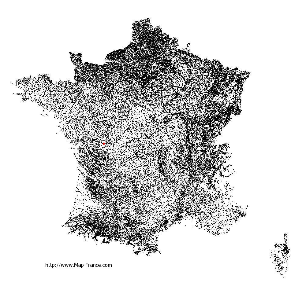
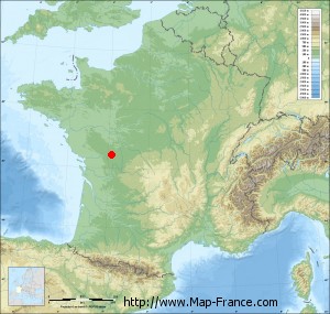
Celle-Lévescault on the relief France map in Lambert 93 coordinates
|

See the map of Celle-Lévescault in full screen (1000 x 949)
|
At left, here is the location of Celle-Lévescault on the relief France map in Lambert 93 coordinates.
Here are the altitudes of Celle-Lévescault :
- Town hall altitude of Celle-Lévescault is 100 meters
- Minimum altitude of Celle-Lévescault is 90 meters
- Maximum altitude of Celle-Lévescault is 159 meters
- Medium altitude of Celle-Lévescault is 125 meters
Here are the altitudes of Poitiers, prefecture of Vienne department:
- Town hall altitude of Poitiers is 116 meters
- Minimum altitude of Poitiers is 65 meters
- Maximum altitude of Poitiers is 144 meters
- Medium altitude of Poitiers is 105 meters
Here are the altitudes of the french biggest cities:
Paris : 33 meters
Marseille : 20 meters
Lyon : 237 meters
Toulouse : 146 meters
Nice : 10 meters
Nantes : 20 meters
Strasbourg : 144 meters
Montpellier : 35 meters
Bordeaux : 16 meters
Lille : 20 meters
Rennes : 35 meters
Reims : 83 meters
Click here for the terrain map of Celle-Lévescault in full screen:
Relief map of Celle-Lévescault
|
This relief map of Celle-Lévescault is reusable and modifiable by making a link to this page of the Map-France.com website or by using the given code :
|
Terrain base map of Celle-Lévescault
|

See the terrain base map of Celle-Lévescault in full screen (1000 x 949)
|
Small relief base map of Celle-Lévescault
|
This base map of Celle-Lévescault is reusable and modifiable by making a link to this page of the Map-France.com website or by using the given code :
|
Map of Celle-Lévescault with regions and prefectures
|
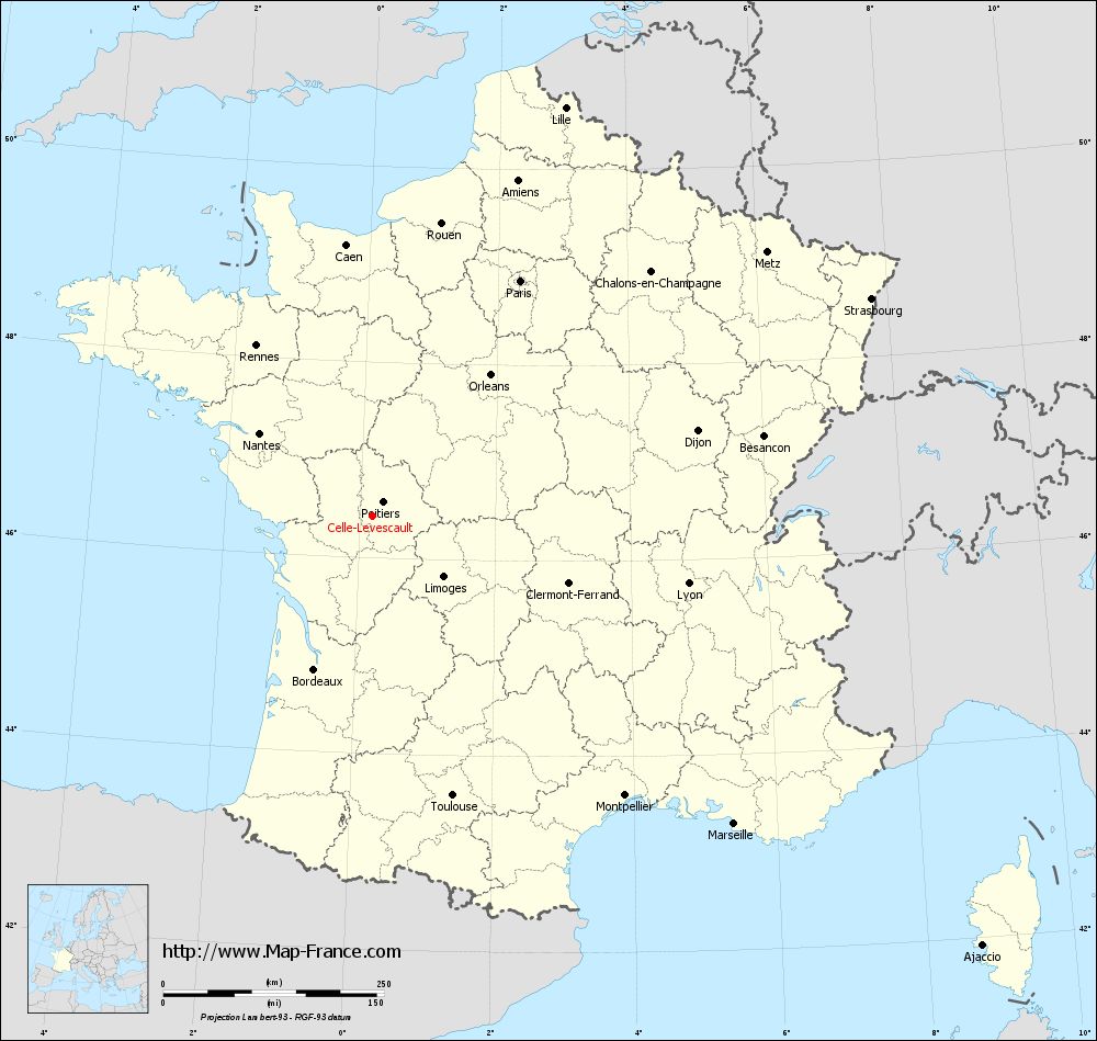
View the map of Celle-Lévescault in full screen (1000 x 949)
|
You will find the location of Celle-Lévescault on the map of France of regions in Lambert 93 coordinates. The town of Celle-Lévescault is located in the department of Vienne of the french region Poitou-Charentes.
Geographical sexagesimal coordinates / GPS (WGS84):
Latitude: 46° 25' 26'' North
Longitude: 00° 11' 15'' East
Geographical decimal coordinates :
Latitude: 46.425 degrees (46.425° North)
Longitude: 0.19 degrees (0.19° East)
Lambert 93 coordinates :
X: 4 841 hectometers
Y: 65 954 hectometers
Lambert 2 coordinates :
X: 4 348 hectometers
Y: 21 605 hectometers
Below, the geographical coordinates of Poitiers, prefecture of the Vienne department:
Geographical sexagesimal coordinates / GPS (WGS84):
Latitude: 46° 34' 52'' North
Longitude: 00° 20' 07'' East
Geographical decimal coordinates :
Latitude: 46.585 degrees (46.585° North)
Longitude: 0.344 degrees (0.344° East)
Lambert 93 coordinates :
X: 4 960 hectometers
Y: 66 125 hectometers
Lambert 2 coordinates :
X: 4 466 hectometers
Y: 21 776 hectometers
|
This map of Celle-Lévescault is reusable and modifiable by making a link to this page of the Map-France.com website or by using the given code :
|
Map of Celle-Lévescault with departments and prefectures
|
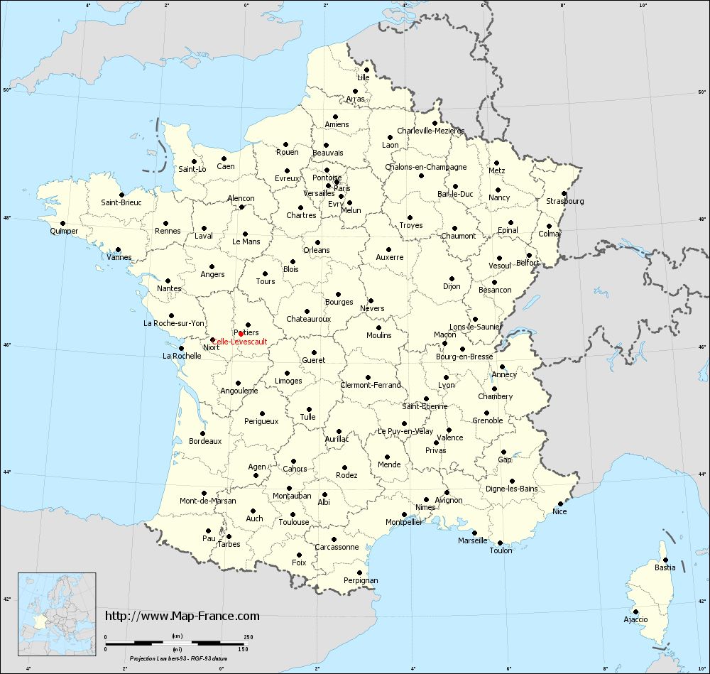
Voir la carte of Celle-Lévescault en grand format (1000 x 949)
|
Here is the localization of Celle-Lévescault on the France map of departments in Lambert 93 coordinates. The city of Celle-Lévescault is shown on the map by a red point.
The town of Celle-Lévescault is located in the department of Vienne of the french region Poitou-Charentes.
The latitude of Celle-Lévescault is 46.425 degrees North.
The longitude of Celle-Lévescault is 0.19 degrees East.
Here the distance between Celle-Lévescault and the biggest cities of France:
Distances are calculated as the crow flies (orthodromic distance)
Distance between Celle-Lévescault and Paris : 315.07 kilometers
Distance between Celle-Lévescault and Marseille : 537.46 kilometers
Distance between Celle-Lévescault and Lyon : 365.41 kilometers
Distance between Celle-Lévescault and Toulouse : 329.11 kilometers
Distance between Celle-Lévescault and Nice : 631.56 kilometers
Distance between Celle-Lévescault and Nantes : 159.23 kilometers
Distance between Celle-Lévescault and Strasbourg : 616.14 kilometers
Distance between Celle-Lévescault and Montpellier : 426.10 kilometers
Distance between Celle-Lévescault and Bordeaux : 185.53 kilometers
Distance between Celle-Lévescault and Lille : 511.97 kilometers
Distance between Celle-Lévescault and Rennes : 234.15 kilometers
Distance between Celle-Lévescault and Reims : 425.51 kilometers
Clic here to see the map of Celle-Lévescault in full screen:
Celle-Lévescault on the map of french departments
|
This administrative map of Celle-Lévescault is reusable and modifiable by making a link to this page of the Map-France.com website or by using the given code :
|
Administrative base maps of Celle-Lévescault
|

See the administrative base map of Celle-Lévescault in full screen (1000 x 949)
|
Small administrative base map of Celle-Lévescault
|
This base map administrative of Celle-Lévescault is reusable and modifiable by making a link to this page of the Map-France.com website or by using the given code :
|
 French Version : http://www.cartesfrance.fr