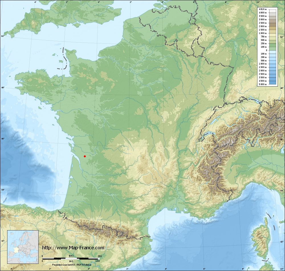
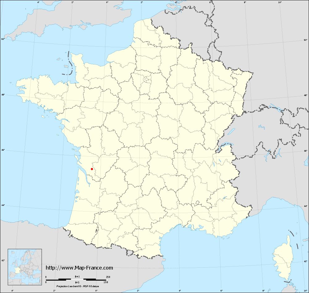
Chadenac on the relief France map in Lambert 93 coordinates
|

See the map of Chadenac in full screen (1000 x 949)
|
At left, here is the location of Chadenac on the relief France map in Lambert 93 coordinates.
Here are the altitudes of Chadenac :
- Town hall altitude of Chadenac is 40 meters
- Minimum altitude of Chadenac is 32 meters
- Maximum altitude of Chadenac is 112 meters
- Medium altitude of Chadenac is 72 meters
Here are the altitudes of La Rochelle, prefecture of Charente-Maritime department:
- Town hall altitude of La Rochelle is 10 meters
- Minimum altitude of La Rochelle is 0 meters
- Maximum altitude of La Rochelle is 28 meters
- Medium altitude of La Rochelle is 14 meters
Here are the altitudes of the french biggest cities:
Paris : 33 meters
Marseille : 20 meters
Lyon : 237 meters
Toulouse : 146 meters
Nice : 10 meters
Nantes : 20 meters
Strasbourg : 144 meters
Montpellier : 35 meters
Bordeaux : 16 meters
Lille : 20 meters
Rennes : 35 meters
Reims : 83 meters
Click here for the terrain map of Chadenac in full screen:
Relief map of Chadenac
|
This relief map of Chadenac is reusable and modifiable by making a link to this page of the Map-France.com website or by using the given code :
|
Terrain base map of Chadenac
|
See the terrain base map of Chadenac in full screen (1000 x 949)
|
Small relief base map of Chadenac
|
This base map of Chadenac is reusable and modifiable by making a link to this page of the Map-France.com website or by using the given code :
|
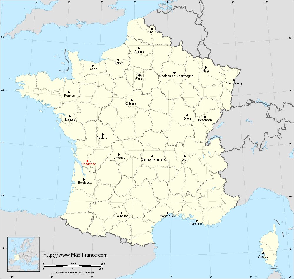
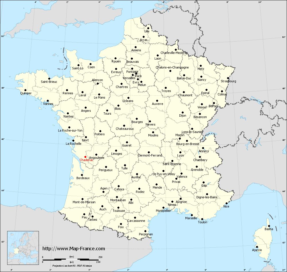
Map of Chadenac with regions and prefectures
|
View the map of Chadenac in full screen (1000 x 949)
|
You will find the location of Chadenac on the map of France of regions in Lambert 93 coordinates. The town of Chadenac is located in the department of Charente-Maritime of the french region Poitou-Charentes.
Geographical sexagesimal coordinates / GPS (WGS84):
Latitude: 45° 32' 29'' North
Longitude: 00° 26' 31'' West
Geographical decimal coordinates :
Latitude: 45.541 degrees (45.541° North)
Longitude: -0.443 degrees (0.443° West)
Lambert 93 coordinates :
X: 4 315 hectometers
Y: 64 994 hectometers
Lambert 2 coordinates :
X: 3 830 hectometers
Y: 20 639 hectometers
Below, the geographical coordinates of La Rochelle, prefecture of the Charente-Maritime department:
Geographical sexagesimal coordinates / GPS (WGS84):
Latitude: 46° 09' 34'' North
Longitude: 01° 09' 05'' West
Geographical decimal coordinates :
Latitude: 46.162 degrees (46.162° North)
Longitude: -1.152 degrees (1.152° West)
Lambert 93 coordinates :
X: 3 798 hectometers
Y: 65 706 hectometers
Lambert 2 coordinates :
X: 3 307 hectometers
Y: 21 348 hectometers
|
This map of Chadenac is reusable and modifiable by making a link to this page of the Map-France.com website or by using the given code :
|
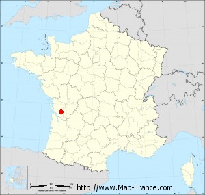
Map of Chadenac with departments and prefectures
|
Voir la carte of Chadenac en grand format (1000 x 949)
|
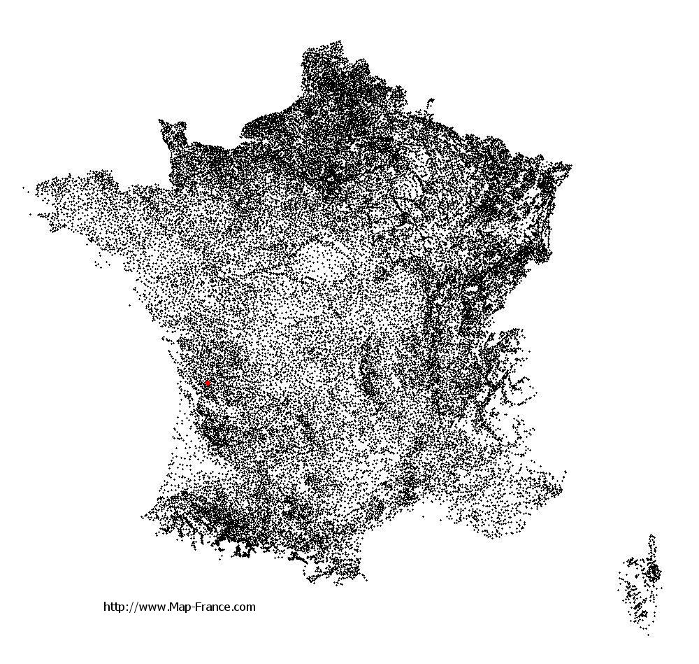
Here is the localization of Chadenac on the France map of departments in Lambert 93 coordinates. The city of Chadenac is shown on the map by a red point.
The town of Chadenac is located in the department of Charente-Maritime of the french region Poitou-Charentes.
The latitude of Chadenac is 45.541 degrees North.
The longitude of Chadenac is 0.443 degrees West.
Here the distance between Chadenac and the biggest cities of France:
Distances are calculated as the crow flies (orthodromic distance)
Distance between Chadenac and Paris : 424.58 kilometers
Distance between Chadenac and Marseille : 526.22 kilometers
Distance between Chadenac and Lyon : 410.54 kilometers
Distance between Chadenac and Toulouse : 262.62 kilometers
Distance between Chadenac and Nice : 642.20 kilometers
Distance between Chadenac and Nantes : 204.94 kilometers
Distance between Chadenac and Strasbourg : 706.11 kilometers
Distance between Chadenac and Montpellier : 403.44 kilometers
Distance between Chadenac and Bordeaux : 78.27 kilometers
Distance between Chadenac and Lille : 621.45 kilometers
Distance between Chadenac and Rennes : 300.25 kilometers
Distance between Chadenac and Reims : 532.48 kilometers
Clic here to see the map of Chadenac in full screen:
Chadenac on the map of french departments
|
This administrative map of Chadenac is reusable and modifiable by making a link to this page of the Map-France.com website or by using the given code :
|
Administrative base maps of Chadenac
|
See the administrative base map of Chadenac in full screen (1000 x 949)
|
Small administrative base map of Chadenac
|
This base map administrative of Chadenac is reusable and modifiable by making a link to this page of the Map-France.com website or by using the given code :
|
 French Version : http://www.cartesfrance.fr