|
|
|
|
|
|
Chantepie pictures
|
|
|
|
Photos of the city of Chantepie
|
These photos taken near the city of Chantepie can be shown in full screen clicking on the thumbnails. Photos are copyrighted by their owners.
| | |
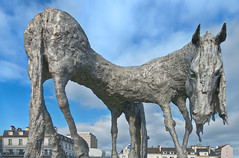
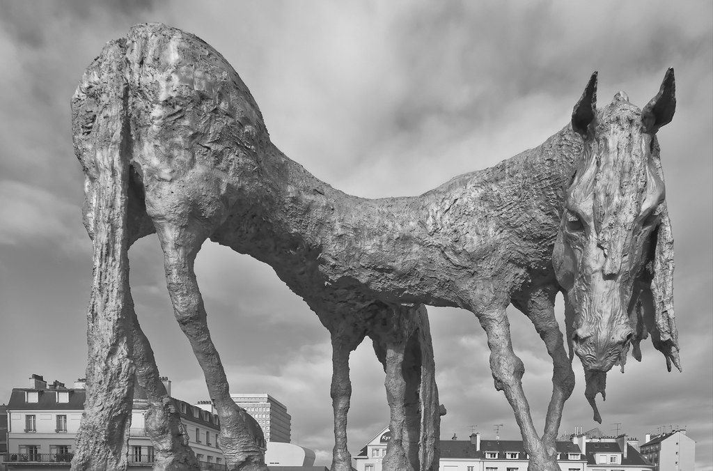
Sculpture
|

Sculpture
|
| |

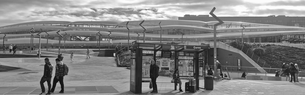
Gare de Rennes
|
Rennes
|
| |
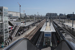
Platforms - Gare de Rennes SNCF
|
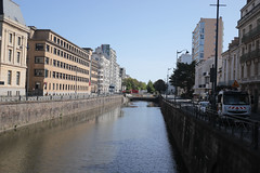
East - La Vilaine, Pont Pasteur, Rennes
|
| |

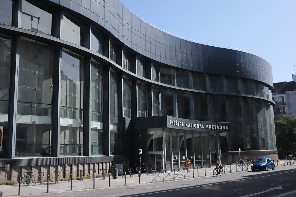
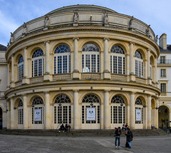
Théâtre National de Bretagne, Rennes
|
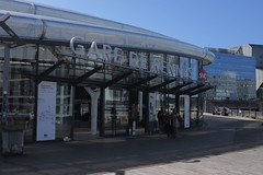
Gare de Rennes SNCF
|
| |
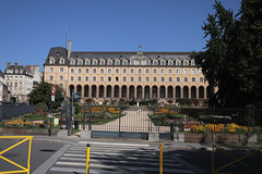
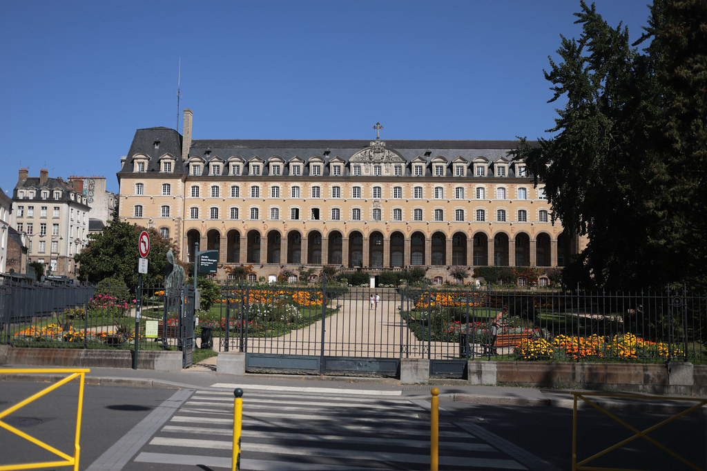
Palais Saint-Georges, Rennes
|

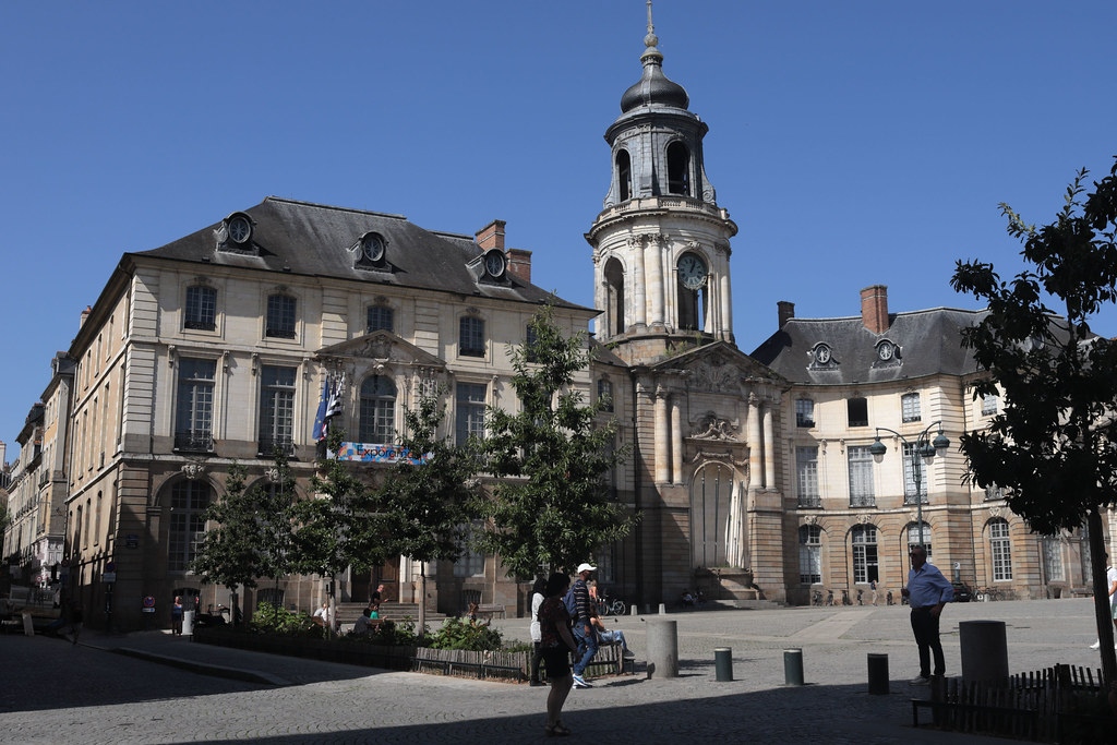
Place de la Mairie, Rennes
|
| |

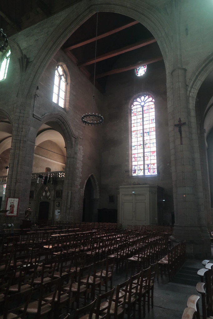
Architechture - Église Saint-Germain, Rennes
|

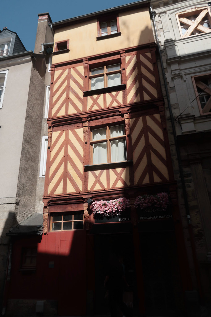
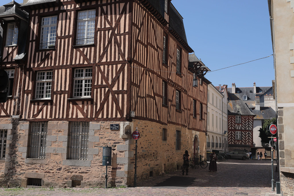
Rue du Chapitre, timber frame building, Rennes
|
| |

Basilique Saint-Sauveur, Rennes
|

Timber frame buildings - Rue du Griffon, Rennes
|
|
Old photos of the city of Chantepie
|
These photos taken near the city of Chantepie can be shown in full screen clicking on the thumbnails. Photos are copyrighted by their owners.
|
|
Other maps, hotels and towns in france
Find another town, zip code, department, region, ...
Quick links Chantepie :
Back to the menus Map of France :
Make a link to this page of Chantepie with the following code :
|
|
Map of France | Regions | Departments | Cities | Partners | Terms | Contact
|