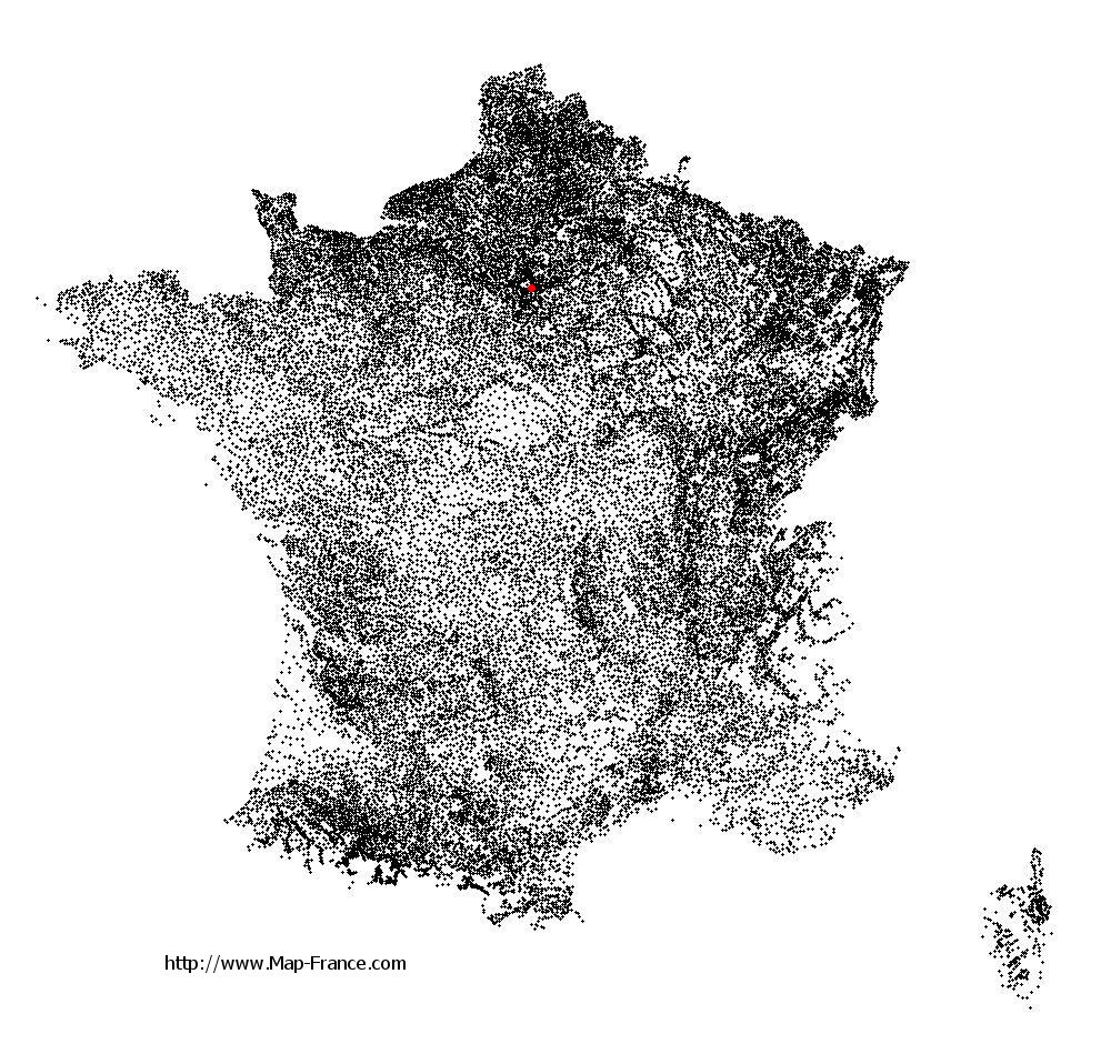
Charenton-le-Pont on the relief France map in Lambert 93 coordinates
|
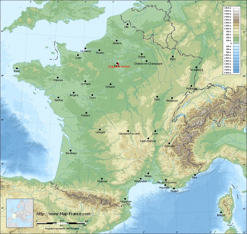
See the map of Charenton-le-Pont in full screen (1000 x 949)
|
At left, here is the location of Charenton-le-Pont on the relief France map in Lambert 93 coordinates.
Here are the altitudes of Charenton-le-Pont :
- Town hall altitude of Charenton-le-Pont is 40 meters
- Minimum altitude of Charenton-le-Pont is 28 meters
- Maximum altitude of Charenton-le-Pont is 57 meters
- Medium altitude of Charenton-le-Pont is 43 meters
Here are the altitudes of Créteil, prefecture of Val-de-Marne department:
- Town hall altitude of Créteil is 34 meters
- Minimum altitude of Créteil is 31 meters
- Maximum altitude of Créteil is 74 meters
- Medium altitude of Créteil is 53 meters
Here are the altitudes of the french biggest cities:
Paris : 33 meters
Marseille : 20 meters
Lyon : 237 meters
Toulouse : 146 meters
Nice : 10 meters
Nantes : 20 meters
Strasbourg : 144 meters
Montpellier : 35 meters
Bordeaux : 16 meters
Lille : 20 meters
Rennes : 35 meters
Reims : 83 meters
Click here for the terrain map of Charenton-le-Pont in full screen:
Relief map of Charenton-le-Pont
|
This relief map of Charenton-le-Pont is reusable and modifiable by making a link to this page of the Map-France.com website or by using the given code :
|
Terrain base map of Charenton-le-Pont
|

See the terrain base map of Charenton-le-Pont in full screen (1000 x 949)
|
Small relief base map of Charenton-le-Pont

|
This base map of Charenton-le-Pont is reusable and modifiable by making a link to this page of the Map-France.com website or by using the given code :
|
Map of Charenton-le-Pont with regions and prefectures
|
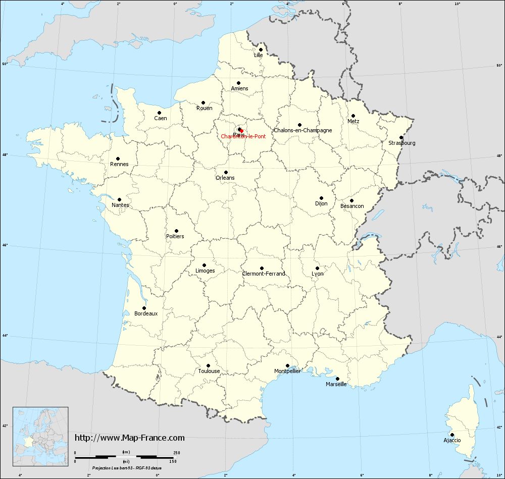
View the map of Charenton-le-Pont in full screen (1000 x 949)
|
You will find the location of Charenton-le-Pont on the map of France of regions in Lambert 93 coordinates. The city of Charenton-le-Pont is located in the department of Val-de-Marne of the french region Île-de-France.
Geographical sexagesimal coordinates / GPS (WGS84):
Latitude: 48° 49' 17'' North
Longitude: 02° 24' 43'' East
Geographical decimal coordinates :
Latitude: 48.824 degrees (48.824° North)
Longitude: 2.406 degrees (2.406° East)
Lambert 93 coordinates :
X: 6 568 hectometers
Y: 68 581 hectometers
Lambert 2 coordinates :
X: 6 055 hectometers
Y: 24 248 hectometers
Below, the geographical coordinates of Créteil, prefecture of the Val-de-Marne department:
Geographical sexagesimal coordinates / GPS (WGS84):
Latitude: 48° 47' 26'' North
Longitude: 02° 27' 43'' East
Geographical decimal coordinates :
Latitude: 48.793 degrees (48.793° North)
Longitude: 2.461 degrees (2.461° East)
Lambert 93 coordinates :
X: 6 605 hectometers
Y: 68 546 hectometers
Lambert 2 coordinates :
X: 6 092 hectometers
Y: 24 213 hectometers
|
This map of Charenton-le-Pont is reusable and modifiable by making a link to this page of the Map-France.com website or by using the given code :
|
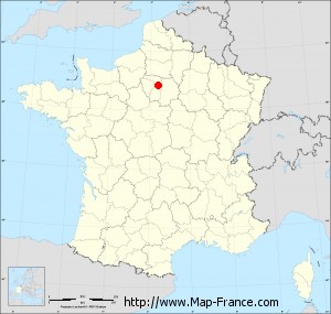
Map of Charenton-le-Pont with departments and prefectures
|
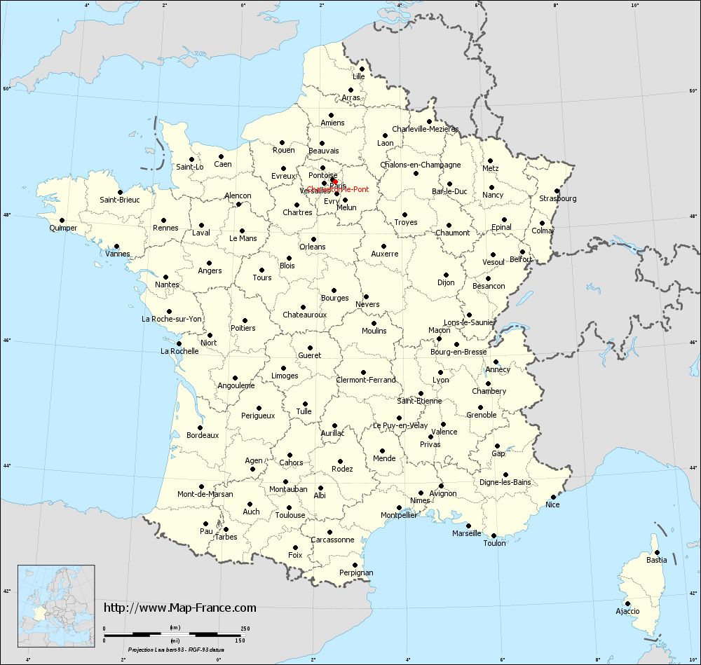
Voir la carte of Charenton-le-Pont en grand format (1000 x 949)
|
Here is the localization of Charenton-le-Pont on the France map of departments in Lambert 93 coordinates. The city of Charenton-le-Pont is shown on the map by a red point.
The city of Charenton-le-Pont is located in the department of Val-de-Marne of the french region Île-de-France.
The latitude of Charenton-le-Pont is 48.824 degrees North.
The longitude of Charenton-le-Pont is 2.406 degrees East.
Here the distance between Charenton-le-Pont and the biggest cities of France:
Distances are calculated as the crow flies (orthodromic distance)
Distance between Charenton-le-Pont and Paris : 6.01 kilometers
Distance between Charenton-le-Pont and Marseille : 655.81 kilometers
Distance between Charenton-le-Pont and Lyon : 386.46 kilometers
Distance between Charenton-le-Pont and Toulouse : 584.99 kilometers
Distance between Charenton-le-Pont and Nice : 679.72 kilometers
Distance between Charenton-le-Pont and Nantes : 343.96 kilometers
Distance between Charenton-le-Pont and Strasbourg : 393.12 kilometers
Distance between Charenton-le-Pont and Montpellier : 590.26 kilometers
Distance between Charenton-le-Pont and Bordeaux : 496.82 kilometers
Distance between Charenton-le-Pont and Lille : 205.67 kilometers
Distance between Charenton-le-Pont and Rennes : 311.29 kilometers
Distance between Charenton-le-Pont and Reims : 127.87 kilometers
Clic here to see the map of Charenton-le-Pont in full screen:
Charenton-le-Pont on the map of french departments
|
This administrative map of Charenton-le-Pont is reusable and modifiable by making a link to this page of the Map-France.com website or by using the given code :
|
Administrative base maps of Charenton-le-Pont
|

See the administrative base map of Charenton-le-Pont in full screen (1000 x 949)
|
Small administrative base map of Charenton-le-Pont
|
This base map administrative of Charenton-le-Pont is reusable and modifiable by making a link to this page of the Map-France.com website or by using the given code :
|
 French Version : http://www.cartesfrance.fr