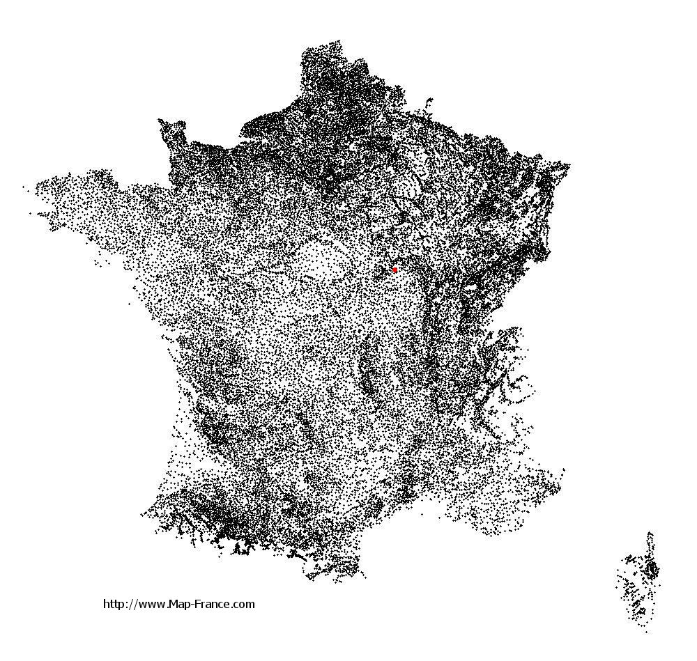
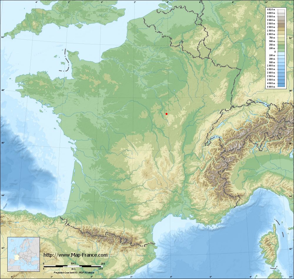
Chastellux-sur-Cure on the relief France map in Lambert 93 coordinates
|

See the map of Chastellux-sur-Cure in full screen (1000 x 949)
|
At left, here is the location of Chastellux-sur-Cure on the relief France map in Lambert 93 coordinates.
Here are the altitudes of Chastellux-sur-Cure :
- Town hall altitude of Chastellux-sur-Cure is 300 meters
- Minimum altitude of Chastellux-sur-Cure is 210 meters
- Maximum altitude of Chastellux-sur-Cure is 397 meters
- Medium altitude of Chastellux-sur-Cure is 304 meters
Here are the altitudes of Auxerre, prefecture of Yonne department:
- Town hall altitude of Auxerre is 120 meters
- Minimum altitude of Auxerre is 93 meters
- Maximum altitude of Auxerre is 217 meters
- Medium altitude of Auxerre is 155 meters
Here are the altitudes of the french biggest cities:
Paris : 33 meters
Marseille : 20 meters
Lyon : 237 meters
Toulouse : 146 meters
Nice : 10 meters
Nantes : 20 meters
Strasbourg : 144 meters
Montpellier : 35 meters
Bordeaux : 16 meters
Lille : 20 meters
Rennes : 35 meters
Reims : 83 meters
Click here for the terrain map of Chastellux-sur-Cure in full screen:
Relief map of Chastellux-sur-Cure
|
This relief map of Chastellux-sur-Cure is reusable and modifiable by making a link to this page of the Map-France.com website or by using the given code :
|
Terrain base map of Chastellux-sur-Cure
|
See the terrain base map of Chastellux-sur-Cure in full screen (1000 x 949)
|
Small relief base map of Chastellux-sur-Cure

|
This base map of Chastellux-sur-Cure is reusable and modifiable by making a link to this page of the Map-France.com website or by using the given code :
|
Map of Chastellux-sur-Cure with regions and prefectures
|
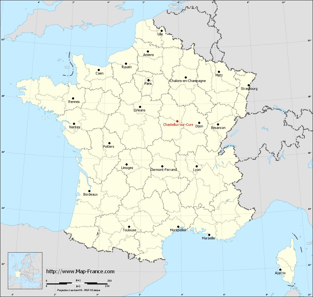
View the map of Chastellux-sur-Cure in full screen (1000 x 949)
|
You will find the location of Chastellux-sur-Cure on the map of France of regions in Lambert 93 coordinates. The town of Chastellux-sur-Cure is located in the department of Yonne of the french region Bourgogne.
Geographical sexagesimal coordinates / GPS (WGS84):
Latitude: 47° 23' 10'' North
Longitude: 03° 53' 15'' East
Geographical decimal coordinates :
Latitude: 47.39 degrees (47.39° North)
Longitude: 3.883 degrees (3.883° East)
Lambert 93 coordinates :
X: 7 670 hectometers
Y: 66 988 hectometers
Lambert 2 coordinates :
X: 7 171 hectometers
Y: 22 663 hectometers
Below, the geographical coordinates of Auxerre, prefecture of the Yonne department:
Geographical sexagesimal coordinates / GPS (WGS84):
Latitude: 47° 47' 51'' North
Longitude: 03° 34' 01'' East
Geographical decimal coordinates :
Latitude: 47.798 degrees (47.798° North)
Longitude: 3.571 degrees (3.571° East)
Lambert 93 coordinates :
X: 7 424 hectometers
Y: 67 443 hectometers
Lambert 2 coordinates :
X: 6 922 hectometers
Y: 23 116 hectometers
|
This map of Chastellux-sur-Cure is reusable and modifiable by making a link to this page of the Map-France.com website or by using the given code :
|
Map of Chastellux-sur-Cure with departments and prefectures
|
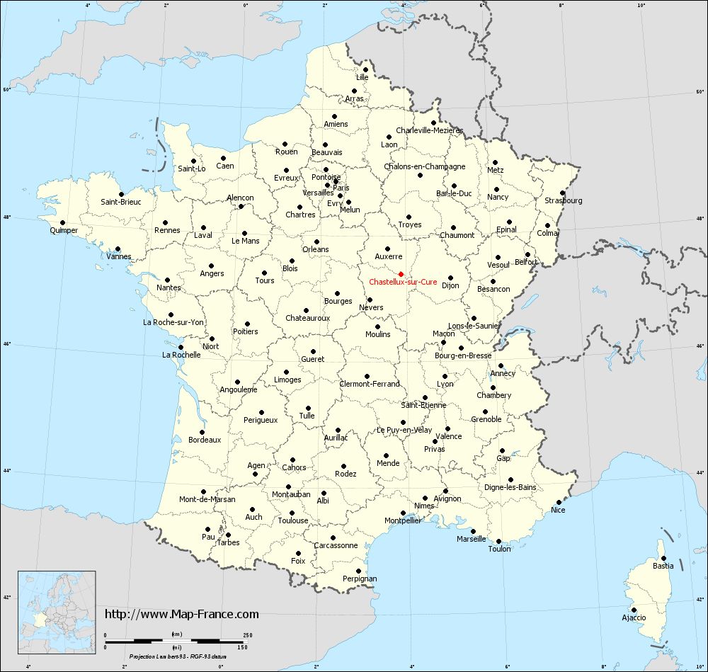
Voir la carte of Chastellux-sur-Cure en grand format (1000 x 949)
|
Here is the localization of Chastellux-sur-Cure on the France map of departments in Lambert 93 coordinates. The city of Chastellux-sur-Cure is shown on the map by a red point.
The town of Chastellux-sur-Cure is located in the department of Yonne of the french region Bourgogne.
The latitude of Chastellux-sur-Cure is 47.39 degrees North.
The longitude of Chastellux-sur-Cure is 3.883 degrees East.
Here the distance between Chastellux-sur-Cure and the biggest cities of France:
Distances are calculated as the crow flies (orthodromic distance)
Distance between Chastellux-sur-Cure and Paris : 199.25 kilometers
Distance between Chastellux-sur-Cure and Marseille : 469.84 kilometers
Distance between Chastellux-sur-Cure and Lyon : 195.15 kilometers
Distance between Chastellux-sur-Cure and Toulouse : 461.70 kilometers
Distance between Chastellux-sur-Cure and Nice : 486.36 kilometers
Distance between Chastellux-sur-Cure and Nantes : 410.00 kilometers
Distance between Chastellux-sur-Cure and Strasbourg : 317.03 kilometers
Distance between Chastellux-sur-Cure and Montpellier : 420.11 kilometers
Distance between Chastellux-sur-Cure and Bordeaux : 444.83 kilometers
Distance between Chastellux-sur-Cure and Lille : 364.92 kilometers
Distance between Chastellux-sur-Cure and Rennes : 423.12 kilometers
Distance between Chastellux-sur-Cure and Reims : 207.84 kilometers
Clic here to see the map of Chastellux-sur-Cure in full screen:
Chastellux-sur-Cure on the map of french departments
|
This administrative map of Chastellux-sur-Cure is reusable and modifiable by making a link to this page of the Map-France.com website or by using the given code :
|
Administrative base maps of Chastellux-sur-Cure
|

See the administrative base map of Chastellux-sur-Cure in full screen (1000 x 949)
|
Small administrative base map of Chastellux-sur-Cure
|
This base map administrative of Chastellux-sur-Cure is reusable and modifiable by making a link to this page of the Map-France.com website or by using the given code :
|
 French Version : http://www.cartesfrance.fr