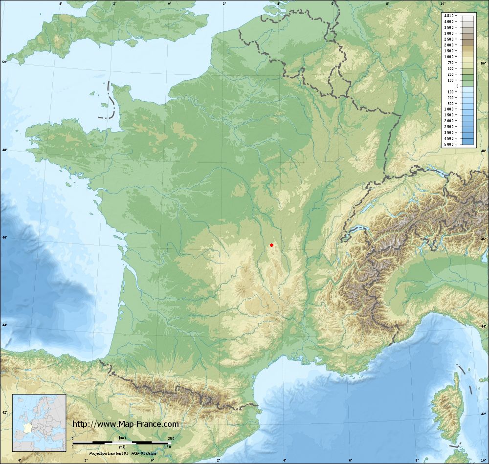
Châtel-Montagne on the relief France map in Lambert 93 coordinates
|

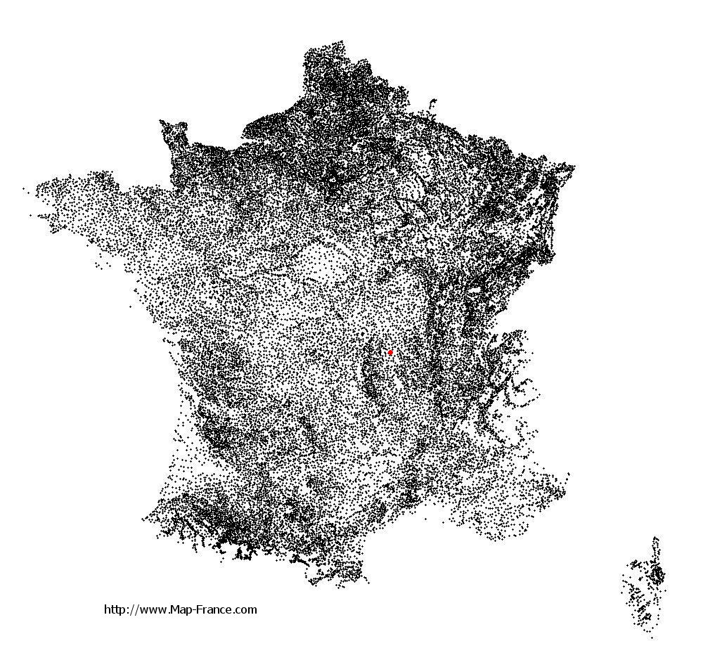
See the map of Châtel-Montagne in full screen (1000 x 949)
|
At left, here is the location of Châtel-Montagne on the relief France map in Lambert 93 coordinates.
Here are the altitudes of Châtel-Montagne :
- Town hall altitude of Châtel-Montagne is 520 meters
- Minimum altitude of Châtel-Montagne is 331 meters
- Maximum altitude of Châtel-Montagne is 972 meters
- Medium altitude of Châtel-Montagne is 652 meters
Here are the altitudes of Moulins, prefecture of Allier department:
- Town hall altitude of Moulins is 219 meters
- Minimum altitude of Moulins is 202 meters
- Maximum altitude of Moulins is 240 meters
- Medium altitude of Moulins is 221 meters
Here are the altitudes of the french biggest cities:
Paris : 33 meters
Marseille : 20 meters
Lyon : 237 meters
Toulouse : 146 meters
Nice : 10 meters
Nantes : 20 meters
Strasbourg : 144 meters
Montpellier : 35 meters
Bordeaux : 16 meters
Lille : 20 meters
Rennes : 35 meters
Reims : 83 meters
Click here for the terrain map of Châtel-Montagne in full screen:
Relief map of Châtel-Montagne
|
This relief map of Châtel-Montagne is reusable and modifiable by making a link to this page of the Map-France.com website or by using the given code :
|
Terrain base map of Châtel-Montagne
|
See the terrain base map of Châtel-Montagne in full screen (1000 x 949)
|
Small relief base map of Châtel-Montagne

|
This base map of Châtel-Montagne is reusable and modifiable by making a link to this page of the Map-France.com website or by using the given code :
|
Map of Châtel-Montagne with regions and prefectures
|
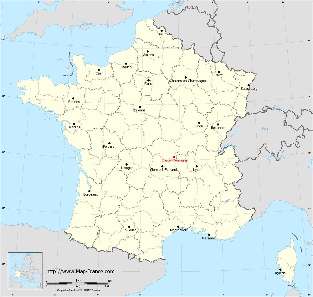
View the map of Châtel-Montagne in full screen (1000 x 949)
|
You will find the location of Châtel-Montagne on the map of France of regions in Lambert 93 coordinates. The town of Châtel-Montagne is located in the department of Allier of the french region Auvergne.
Geographical sexagesimal coordinates / GPS (WGS84):
Latitude: 46° 06' 48'' North
Longitude: 03° 40' 58'' East
Geographical decimal coordinates :
Latitude: 46.114 degrees (46.114° North)
Longitude: 3.683 degrees (3.683° East)
Lambert 93 coordinates :
X: 7 527 hectometers
Y: 65 573 hectometers
Lambert 2 coordinates :
X: 7 041 hectometers
Y: 21 246 hectometers
Below, the geographical coordinates of Moulins, prefecture of the Allier department:
Geographical sexagesimal coordinates / GPS (WGS84):
Latitude: 46° 33' 53'' North
Longitude: 03° 19' 57'' East
Geographical decimal coordinates :
Latitude: 46.568 degrees (46.568° North)
Longitude: 3.335 degrees (3.335° East)
Lambert 93 coordinates :
X: 7 255 hectometers
Y: 66 072 hectometers
Lambert 2 coordinates :
X: 6 763 hectometers
Y: 21 743 hectometers
|
This map of Châtel-Montagne is reusable and modifiable by making a link to this page of the Map-France.com website or by using the given code :
|
Map of Châtel-Montagne with departments and prefectures
|
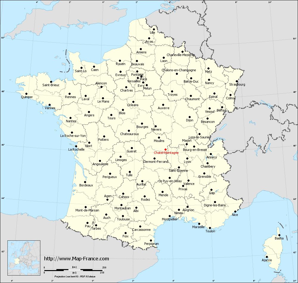
Voir la carte of Châtel-Montagne en grand format (1000 x 949)
|
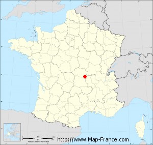
Here is the localization of Châtel-Montagne on the France map of departments in Lambert 93 coordinates. The city of Châtel-Montagne is shown on the map by a red point.
The town of Châtel-Montagne is located in the department of Allier of the french region Auvergne.
The latitude of Châtel-Montagne is 46.114 degrees North.
The longitude of Châtel-Montagne is 3.683 degrees East.
Here the distance between Châtel-Montagne and the biggest cities of France:
Distances are calculated as the crow flies (orthodromic distance)
Distance between Châtel-Montagne and Paris : 321.25 kilometers
Distance between Châtel-Montagne and Marseille : 341.01 kilometers
Distance between Châtel-Montagne and Lyon : 97.29 kilometers
Distance between Châtel-Montagne and Toulouse : 330.06 kilometers
Distance between Châtel-Montagne and Nice : 388.37 kilometers
Distance between Châtel-Montagne and Nantes : 417.67 kilometers
Distance between Châtel-Montagne and Strasbourg : 411.37 kilometers
Distance between Châtel-Montagne and Montpellier : 278.76 kilometers
Distance between Châtel-Montagne and Bordeaux : 360.49 kilometers
Distance between Châtel-Montagne and Lille : 503.73 kilometers
Distance between Châtel-Montagne and Rennes : 461.97 kilometers
Distance between Châtel-Montagne and Reims : 350.27 kilometers
Clic here to see the map of Châtel-Montagne in full screen:
Châtel-Montagne on the map of french departments
|
This administrative map of Châtel-Montagne is reusable and modifiable by making a link to this page of the Map-France.com website or by using the given code :
|
Administrative base maps of Châtel-Montagne
|

See the administrative base map of Châtel-Montagne in full screen (1000 x 949)
|
Small administrative base map of Châtel-Montagne
|
This base map administrative of Châtel-Montagne is reusable and modifiable by making a link to this page of the Map-France.com website or by using the given code :
|
 French Version : http://www.cartesfrance.fr