|
The village of Châteldon is a small village located center of France. The town of Châteldon is located in the department of Puy-de-Dôme of the french region Auvergne. The town of Châteldon is located in the township of Châteldon part of the district of Thiers. The area code for Châteldon is 63102 (also known as code INSEE), and the Châteldon zip code is 63290.
Geography and map of Châteldon :
The altitude of the city hall of Châteldon is approximately 310 meters. The Châteldon surface is 28.43 km ². The latitude and longitude of Châteldon are 45.977 degrees North and 3.518 degrees East.
Nearby cities and towns of Châteldon are :
Ris (63290) at 2.75 km, Puy-Guillaume (63290) at 3.83 km, Mariol (03270) at 5.12 km, Limons (63290) at 5.56 km, Paslières (63290) at 5.57 km, Lachaux (63290) at 6.07 km, Charnat (63290) at 7.53 km, Saint-Victor-Montvianeix (63550) at 7.65 km.
(The distances to these nearby towns of Châteldon are calculated as the crow flies)
Population and housing of Châteldon :
The population of Châteldon was 737 in 1999, 750 in 2006 and 752 in 2007. The population density of Châteldon is 26.45 inhabitants per km². The number of housing of Châteldon was 589 in 2007. These homes of Châteldon consist of 359 main residences, 136 second or occasional homes and 94 vacant homes. |
|
|
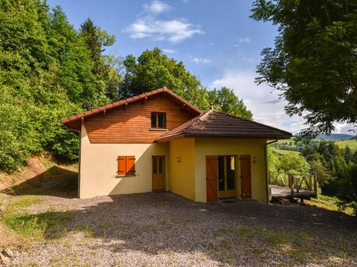
Hotel Châteldon
|
|
|
Book now ! Best Price Guaranteed, no booking fees, pay at the hotel with our partner Booking.com, leader in online hotel reservation.
Find all hotels of Châteldon : Hotel Châteldon
| |
|
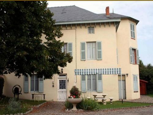
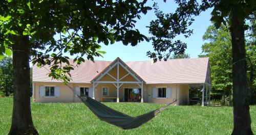
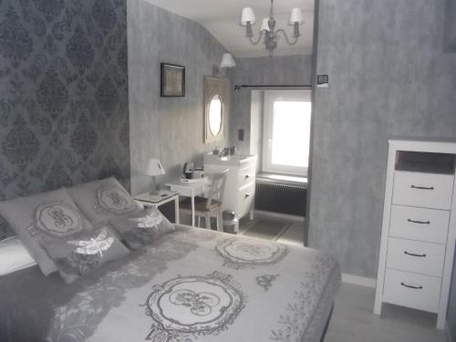
Bed and Breakfast : Chambres et Tables d'Hotes Les Breuils
Dating from 1720, Chambres et tables d’Hôtes Les Breuils is located just a 2-minute walk from the centre of Mariol Village. It offers a garden with deckchairs and free Wi-Fi thr...
Rate : from 55.00 €
to 63.00 €
Address : 8 route de Saint-Yorre 03270 Mariol
Distance Bed and Breakfast - Châteldon : 5.36 km
|
|
|
Guest accommodation : Gite Renardière
Gite Renardière is located in Mons. Free WiFi access is available in this holiday home. The accommodation will provide you with a flat-screen TV and a terrace. There is a full ...
Price : from 95.00 €
Contact : Château de Périgères - Route de Limons 63310 Mons
Distance Guest accommodation - Châteldon : 6.93 km
|
|
|
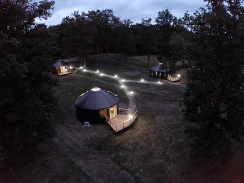
Guest accommodation : Yourtes Royales

Featuring a garden and a terrace, Yourtes Royales provides accommodation in Saint-Priest-Bramefant with free WiFi and mountain views. The tented camp has river views and is 49 k...
Prices : from 63.00 €
to 130.00 €
Contact : Les bois de Maulmont 63310 Saint-Priest-Bramefant
Distance Guest accommodation - Châteldon : 7.20 km
|
|
|
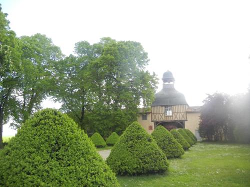
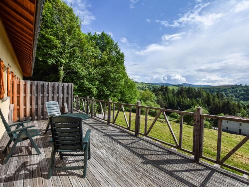
Guest accommodation : Gîtes de Maulmont
Gites de Maulmont offers holiday homes located in the heart of the Auvergne area. Guests can enjoy a private terrace and garden with views of the Allier Valley. The holiday hom...
Contact : Rue de Maulmont 63310 Saint-Priest-Bramefant
Distance Guest accommodation - Châteldon : 7.49 km
|
|
|
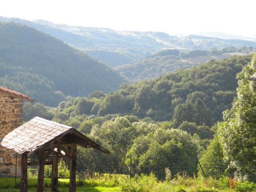
Guest accommodation : Domaine Du Randier
Situated in Ferrières-sur-Sichon, Domaine Du Randier features accommodation with a seating area and a kitchen. Free WiFi is provided. An oven and coffee machine are also availa...
Price : from 80.00 €
to 140.00 €
Address : S/N Lieu Dit Randier 03250 Ferrières-sur-Sichon
Distance Guest accommodation - Châteldon : 8.78 km
|
|
|
Guest accommodation : Maisons de Vacance - Auvergne 1
Maisons de Vacance - Auvergne 1 is situated in Ferrières-sur-Sichon. This property offers access to free WiFi. This holiday home is equipped with 2 bedrooms, a living room and ...
Contact : 03250 Ferrières-sur-Sichon
Distance Guest accommodation - Châteldon : 9.24 km
|
|
|
Guest accommodation : Maisons de Vacance - Auvergne 2
Maisons de Vacance - Auvergne 2 is situated in Ferrières-sur-Sichon and offers water sports facilities, a tennis court and barbecue facilities. This holiday home offers accommod...
Contact : 03250 Ferrières-sur-Sichon
Distance Guest accommodation - Châteldon : 9.24 km
|
|

|
Guest accommodation : Maisons de Vacance - Auvergne 3
Boasting accommodation with a terrace, Maisons de Vacance - Auvergne 3 is located in Ferrières-sur-Sichon. Featuring free WiFi, the property also has water sports facilities. T...
Contact : 03250 Ferrières-sur-Sichon
Distance Guest accommodation - Châteldon : 9.24 km
|
|
|
Bed and Breakfast : Au Vieux Logis 63
Featuring forest views, Au Vieux Logis 63 is situated in Saint-Rémy-sur-Durolle, 2 km from Saint-Rémy-sur-Durolle and 500 metres from Prades Lake. Free private parking is availa...
Prices : from 67.00 €
to 82.00 €
Address : L'espinasse 63550 Saint-Rémy-sur-Durolle
Distance Bed and Breakfast - Châteldon : 10.35 km
|
|

|
Hotel : Auberge Bourbonnaise

Located in the centre of Saint-Yorre, Auberge Bourbonnaise is 9 km from Vichy and its Golf Couse. It offers a seasonal outdoor swimming pool, a terrace with parasols and free Wi...
Rate : from 52.00 €
to 86.00 €
Contact : 2 avenue de Vichy 03270 Saint-Yorre
Distance Hotel - Châteldon : 10.67 km
|
|
Find another hotel near Châteldon : Châteldon hotels list
|
Map of Châteldon
|
|
Map of Châteldon :
At right you can find the localization of Châteldon on the map of France. Below, this is the satellite map of Châteldon. A road map, and maps templates of Châteldon are available here : "road map of Châteldon". This map show Châteldon seen by the satellite of Google Map. To see the streets of Châteldon or move on another zone, use the buttons "zoom" and "map" on top of this dynamic map.
Search on the map of Châteldon :
To search hotels, housings, tourist information office, administrations or other services, use the Google search integrated to the map on the following page : "map Châteldon".
Hotels of Châteldon are listed on the map with the following icons: 
The map of Châteldon is centred in the following coordinates :
|

|
|
|
|
Print the map of Châteldon

Print the map of Châteldon : map of Châteldon
|
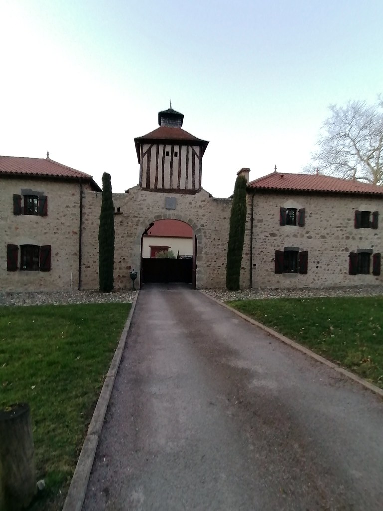
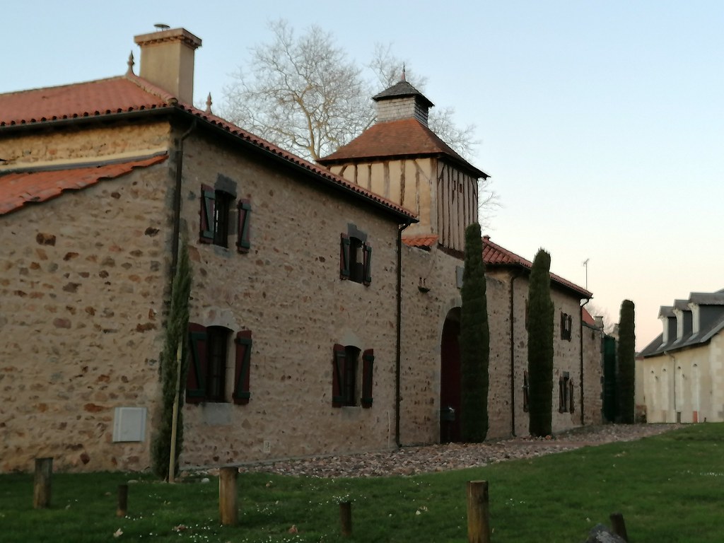
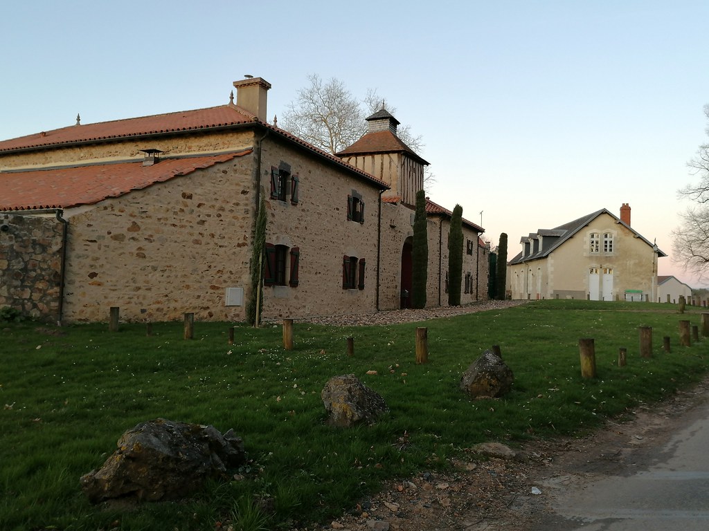
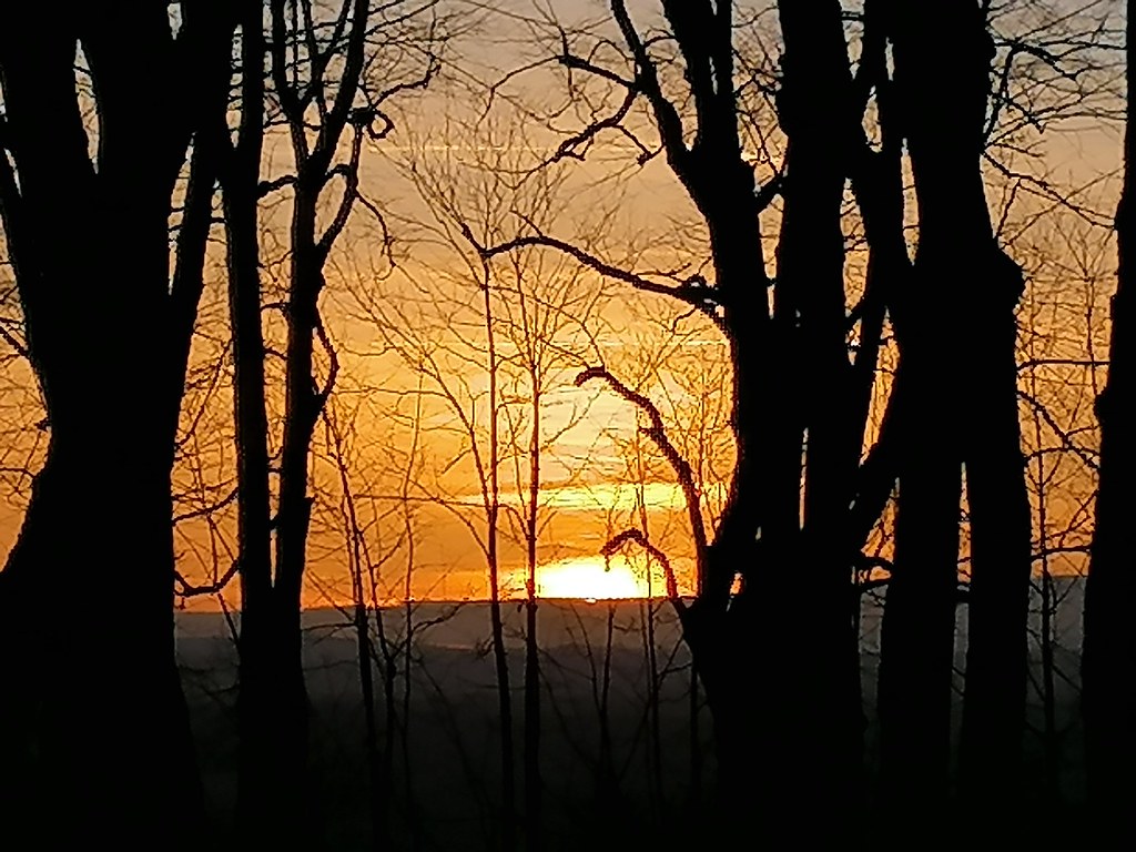
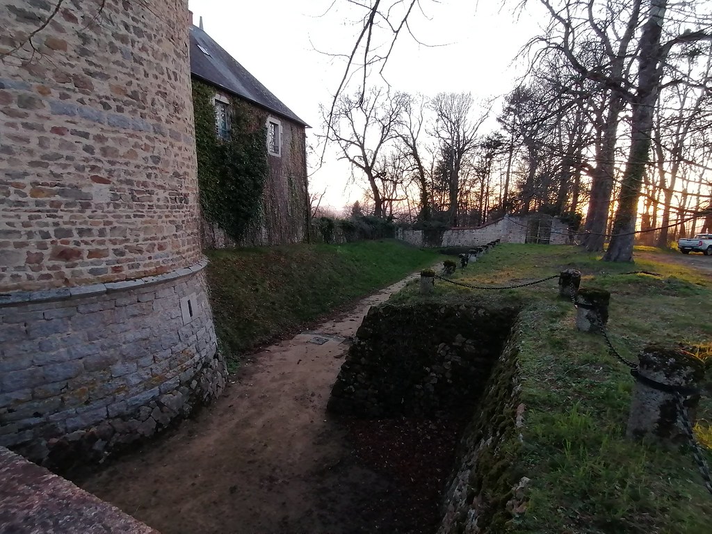
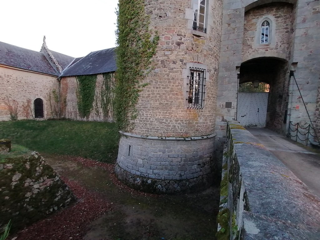
Photos Châteldon
|
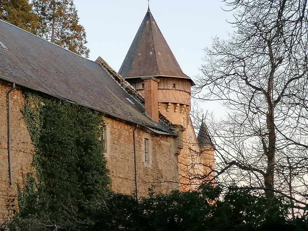
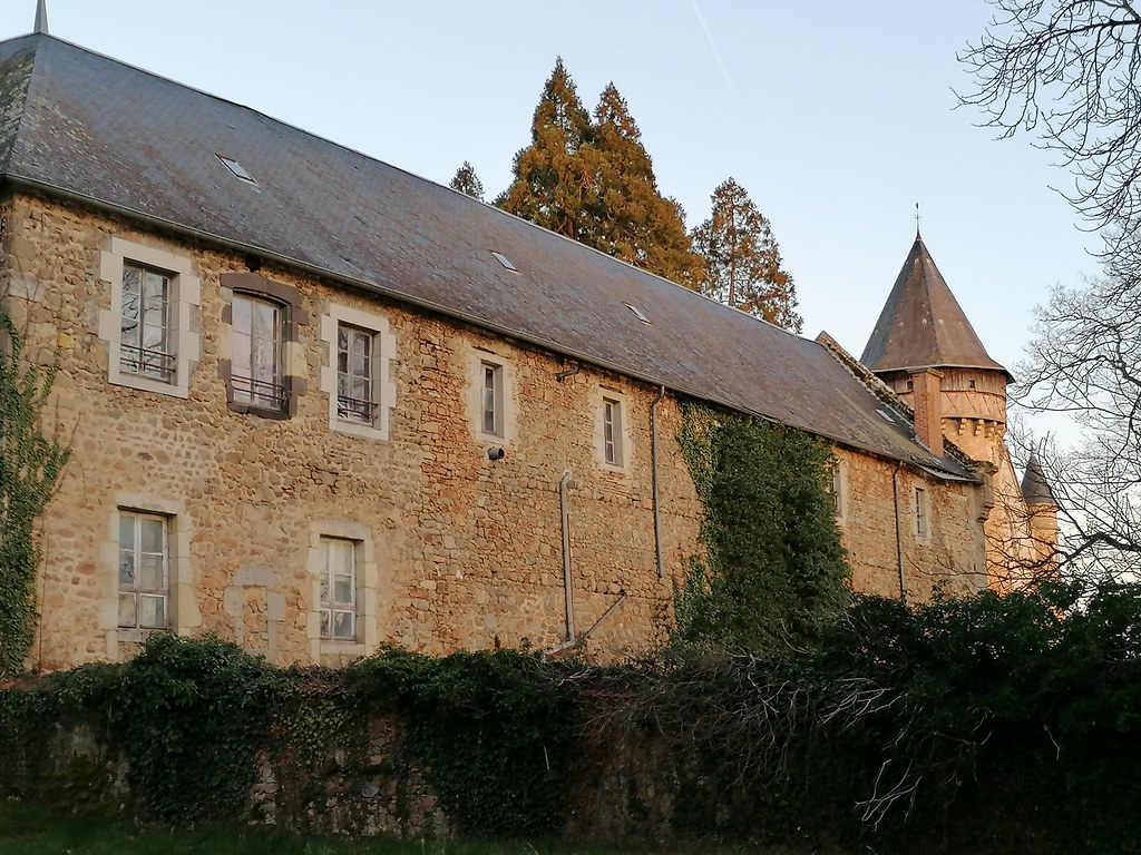
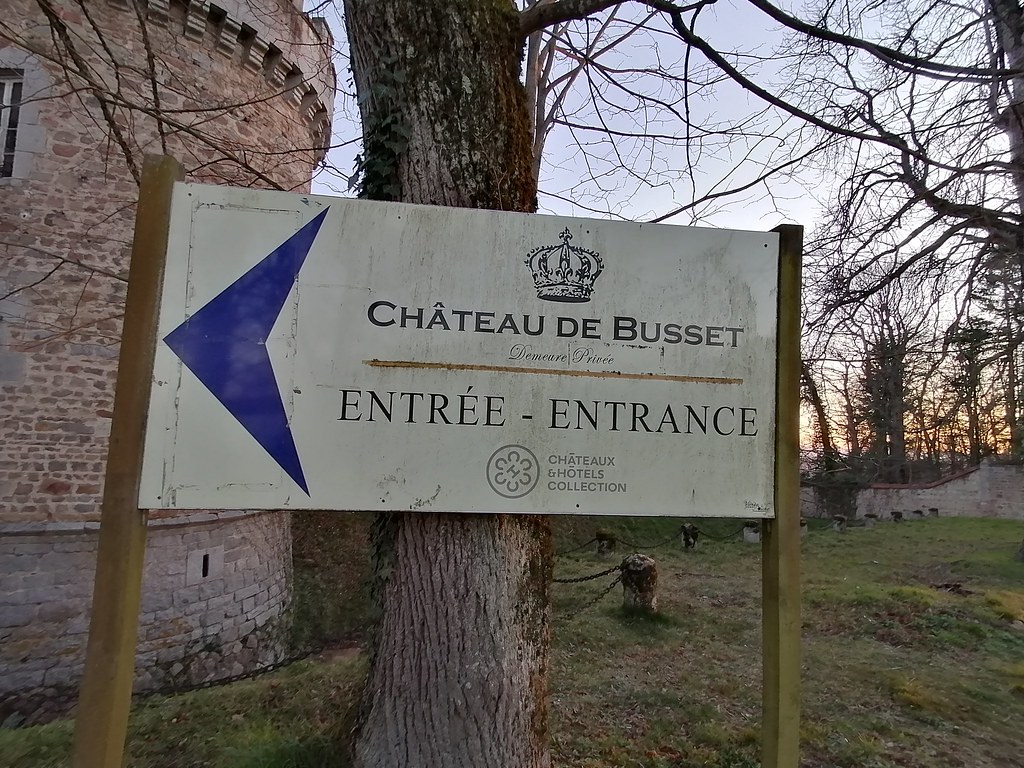
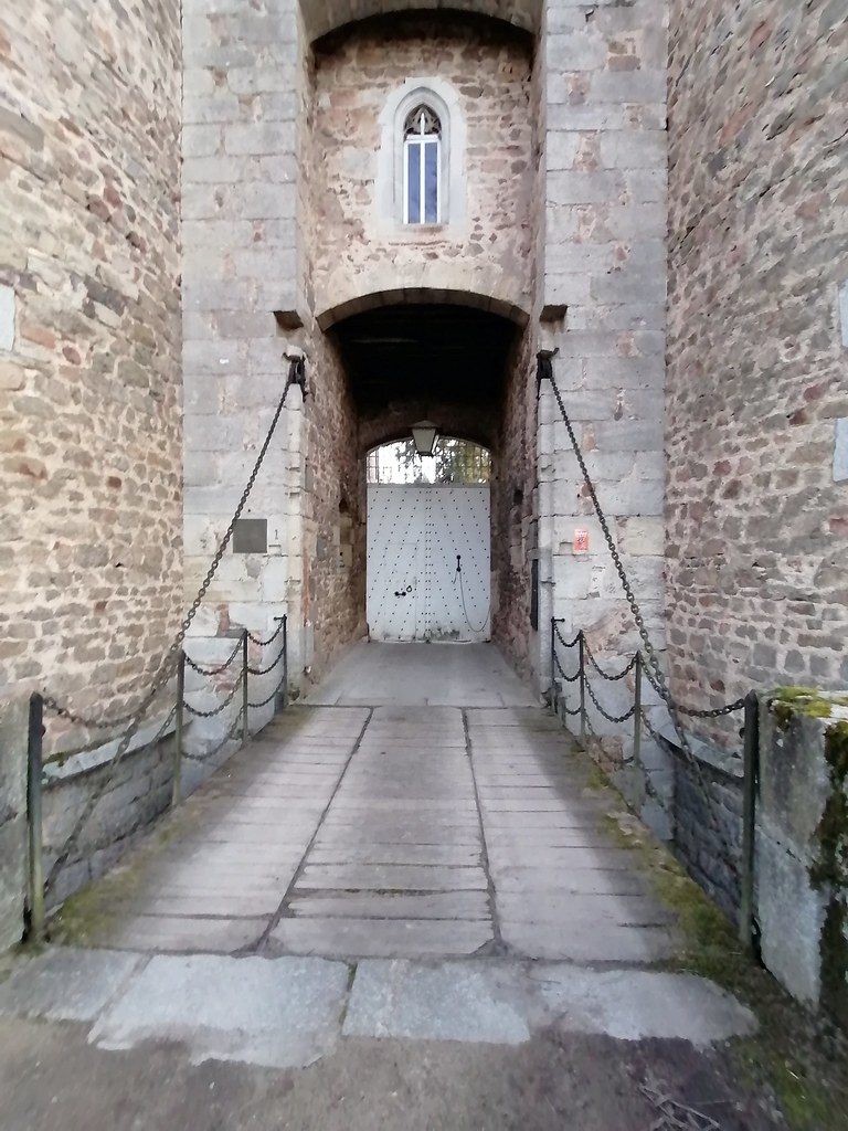
See all photos of Châteldon :
Other photos of Châteldon and nearby towns can be found here: photos Châteldon
|
|
Châteldon weather forecast
Find next hours and 7 days weather forecast for Châteldon here : weather Châteldon (with english metrics)
This is the last weather forecast for Châteldon collected by the nearest observation station of Châteldon.
Week Forecast:
The latest weather data for Châteldon were collected Thursday, 25 April 2024 at 13:00 from the nearest observation station of Châteldon.
| Thursday, April 25th |
12°C 2°C
42%
87%
|
Drizzle
Temperature Max: 12°C Temperature Min: 2°C
Precipitation Probability: 42% (Rain)
Percentage of sky occluded by clouds: 87%
Wind speed: 7 km/h North-East
Humidity: 76%° UV Index: 3
Sunrise: 06:42 Sunset: 20:46 |
|
| | Friday, April 26th |
14°C 6°C
75%
85%
|
Drizzle
Temperature Max: 14°C Temperature Min: 6°C
Precipitation Probability: 75% (Rain)
Percentage of sky occluded by clouds: 85%
Wind speed: 9 km/h North
Humidity: 77%° UV Index: 3
Sunrise: 06:40 Sunset: 20:48 |
|
| | Saturday, April 27th |
16°C 8°C
47%
84%
|
Rain
Temperature Max: 16°C Temperature Min: 8°C
Precipitation Probability: 47% (Rain)
Percentage of sky occluded by clouds: 84%
Wind speed: 23 km/h North
Humidity: 60%° UV Index: 3
Sunrise: 06:38 Sunset: 20:49 |
|
| | Sunday, April 28th |
14°C 8°C
74%
78%
|
Rain
Temperature Max: 14°C Temperature Min: 8°C
Precipitation Probability: 74% (Rain)
Percentage of sky occluded by clouds: 78%
Wind speed: 5 km/h North-East
Humidity: 74%° UV Index: 3
Sunrise: 06:37 Sunset: 20:50 |
|
|
Attribution: 
|
|
Other maps, hotels and towns in france
Find another town, zip code, department, region, ...
Quick links Châteldon :
Make a link to this page of Châteldon with the following code :
|
|
|
 French Version : http://www.cartesfrance.fr/carte-france-ville/63102_Chateldon.html