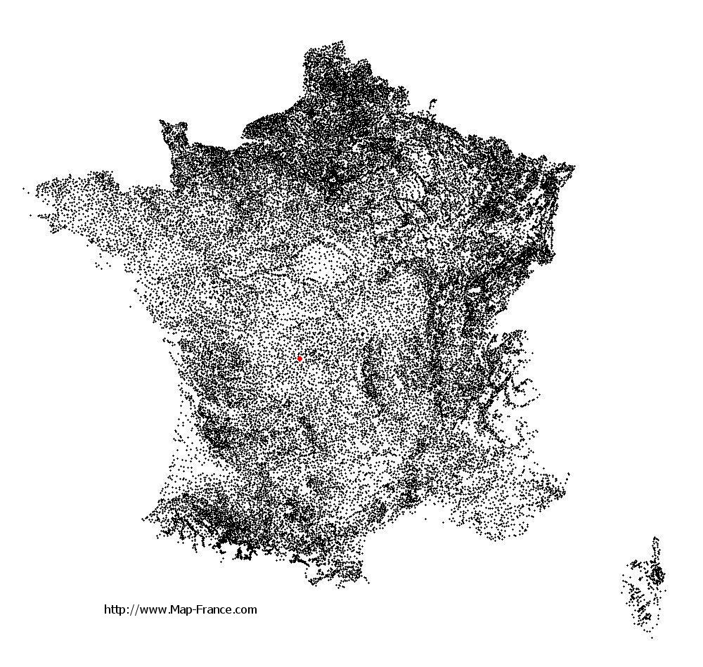
Châtelus-le-Marcheix on the relief France map in Lambert 93 coordinates
|
See the map of Châtelus-le-Marcheix in full screen (1000 x 949)
|
At left, here is the location of Châtelus-le-Marcheix on the relief France map in Lambert 93 coordinates.
Here are the altitudes of Châtelus-le-Marcheix :
- Town hall altitude of Châtelus-le-Marcheix is 390 meters
- Minimum altitude of Châtelus-le-Marcheix is 294 meters
- Maximum altitude of Châtelus-le-Marcheix is 650 meters
- Medium altitude of Châtelus-le-Marcheix is 472 meters
Here are the altitudes of Guéret, prefecture of Creuse department:
- Town hall altitude of Guéret is 431 meters
- Minimum altitude of Guéret is 350 meters
- Maximum altitude of Guéret is 685 meters
- Medium altitude of Guéret is 518 meters
Here are the altitudes of the french biggest cities:
Paris : 33 meters
Marseille : 20 meters
Lyon : 237 meters
Toulouse : 146 meters
Nice : 10 meters
Nantes : 20 meters
Strasbourg : 144 meters
Montpellier : 35 meters
Bordeaux : 16 meters
Lille : 20 meters
Rennes : 35 meters
Reims : 83 meters
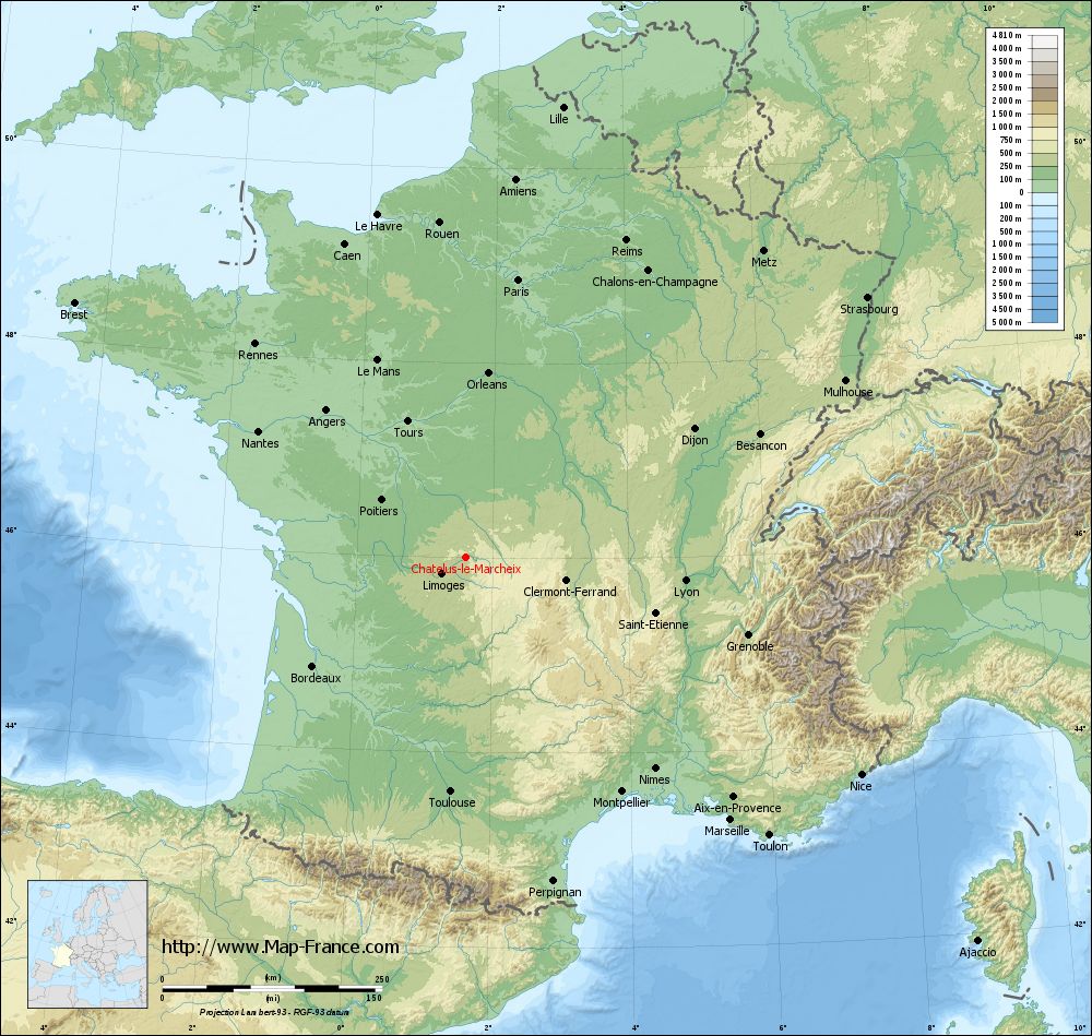
Click here for the terrain map of Châtelus-le-Marcheix in full screen:
Relief map of Châtelus-le-Marcheix
|
This relief map of Châtelus-le-Marcheix is reusable and modifiable by making a link to this page of the Map-France.com website or by using the given code :
|
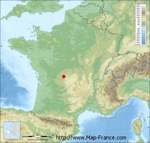
Terrain base map of Châtelus-le-Marcheix
|

See the terrain base map of Châtelus-le-Marcheix in full screen (1000 x 949)
|
Small relief base map of Châtelus-le-Marcheix
|
This base map of Châtelus-le-Marcheix is reusable and modifiable by making a link to this page of the Map-France.com website or by using the given code :
|
Map of Châtelus-le-Marcheix with regions and prefectures
|
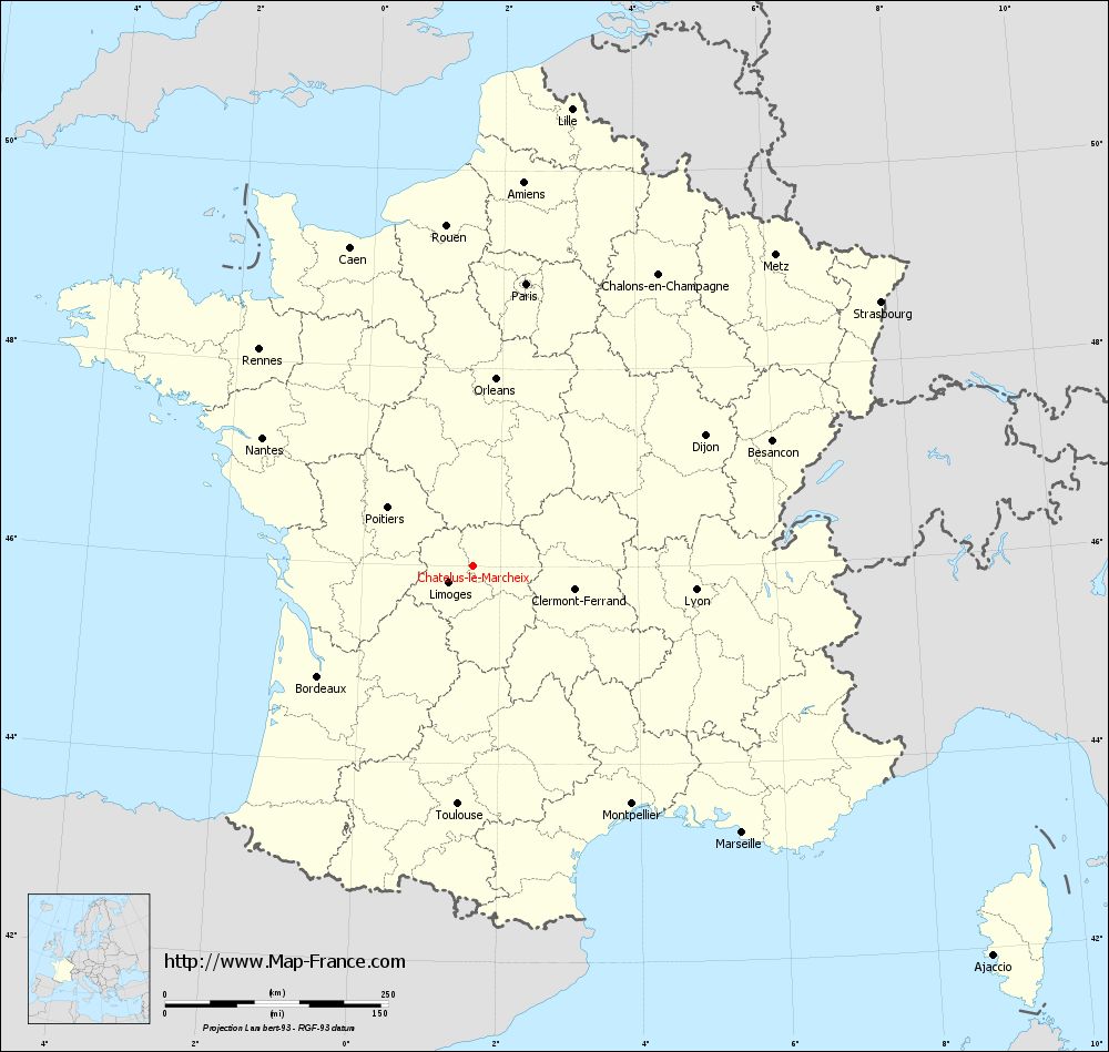
View the map of Châtelus-le-Marcheix in full screen (1000 x 949)
|
You will find the location of Châtelus-le-Marcheix on the map of France of regions in Lambert 93 coordinates. The town of Châtelus-le-Marcheix is located in the department of Creuse of the french region Limousin.
Geographical sexagesimal coordinates / GPS (WGS84):
Latitude: 45° 59' 58'' North
Longitude: 01° 36' 28'' East
Geographical decimal coordinates :
Latitude: 45.998 degrees (45.998° North)
Longitude: 1.606 degrees (1.606° East)
Lambert 93 coordinates :
X: 5 923 hectometers
Y: 65 454 hectometers
Lambert 2 coordinates :
X: 5 436 hectometers
Y: 21 113 hectometers
Below, the geographical coordinates of Guéret, prefecture of the Creuse department:
Geographical sexagesimal coordinates / GPS (WGS84):
Latitude: 46° 10' 14'' North
Longitude: 01° 52' 06'' East
Geographical decimal coordinates :
Latitude: 46.169 degrees (46.169° North)
Longitude: 1.875 degrees (1.875° East)
Lambert 93 coordinates :
X: 6 127 hectometers
Y: 65 640 hectometers
Lambert 2 coordinates :
X: 5 638 hectometers
Y: 21 301 hectometers
|
This map of Châtelus-le-Marcheix is reusable and modifiable by making a link to this page of the Map-France.com website or by using the given code :
|
Map of Châtelus-le-Marcheix with departments and prefectures
|
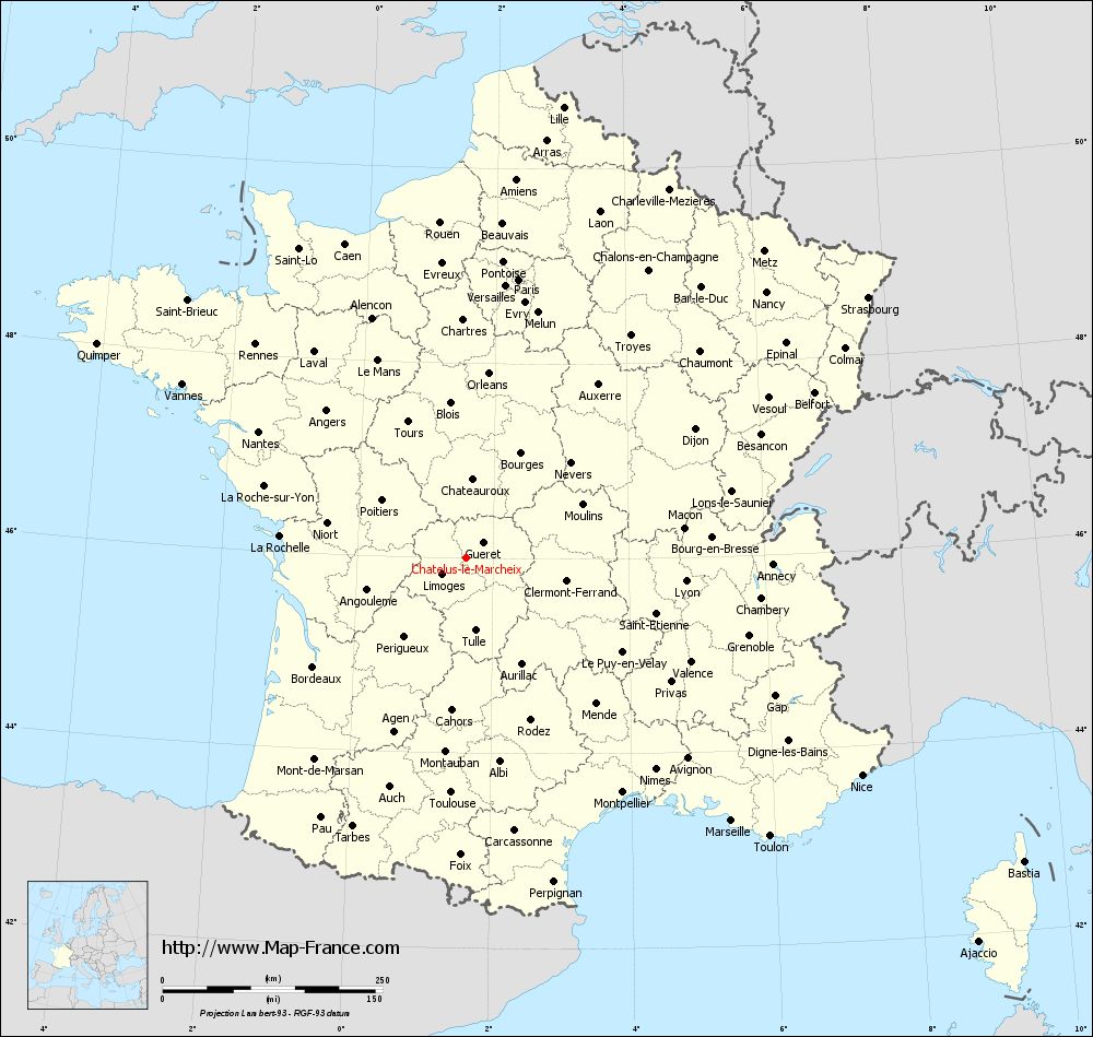
Voir la carte of Châtelus-le-Marcheix en grand format (1000 x 949)
|
Here is the localization of Châtelus-le-Marcheix on the France map of departments in Lambert 93 coordinates. The city of Châtelus-le-Marcheix is shown on the map by a red point.
The town of Châtelus-le-Marcheix is located in the department of Creuse of the french region Limousin.
The latitude of Châtelus-le-Marcheix is 45.998 degrees North.
The longitude of Châtelus-le-Marcheix is 1.606 degrees East.
Here the distance between Châtelus-le-Marcheix and the biggest cities of France:
Distances are calculated as the crow flies (orthodromic distance)
Distance between Châtelus-le-Marcheix and Paris : 322.95 kilometers
Distance between Châtelus-le-Marcheix and Marseille : 424.06 kilometers
Distance between Châtelus-le-Marcheix and Lyon : 251.11 kilometers
Distance between Châtelus-le-Marcheix and Toulouse : 266.66 kilometers
Distance between Châtelus-le-Marcheix and Nice : 512.95 kilometers
Distance between Châtelus-le-Marcheix and Nantes : 276.73 kilometers
Distance between Châtelus-le-Marcheix and Strasbourg : 545.09 kilometers
Distance between Châtelus-le-Marcheix and Montpellier : 319.97 kilometers
Distance between Châtelus-le-Marcheix and Bordeaux : 213.02 kilometers
Distance between Châtelus-le-Marcheix and Lille : 525.32 kilometers
Distance between Châtelus-le-Marcheix and Rennes : 341.79 kilometers
Distance between Châtelus-le-Marcheix and Reims : 405.18 kilometers
Clic here to see the map of Châtelus-le-Marcheix in full screen:
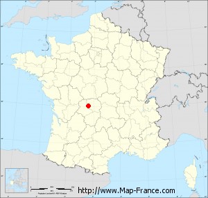
Châtelus-le-Marcheix on the map of french departments
|
This administrative map of Châtelus-le-Marcheix is reusable and modifiable by making a link to this page of the Map-France.com website or by using the given code :
|
Administrative base maps of Châtelus-le-Marcheix
|

See the administrative base map of Châtelus-le-Marcheix in full screen (1000 x 949)
|
Small administrative base map of Châtelus-le-Marcheix
|
This base map administrative of Châtelus-le-Marcheix is reusable and modifiable by making a link to this page of the Map-France.com website or by using the given code :
|
 French Version : http://www.cartesfrance.fr