Claret on the relief France map in Lambert 93 coordinates
|

See the map of Claret in full screen (1000 x 949)
|
At left, here is the location of Claret on the relief France map in Lambert 93 coordinates.
Here are the altitudes of Claret :
- Town hall altitude of Claret is 640 meters
- Minimum altitude of Claret is 528 meters
- Maximum altitude of Claret is 1 254 meters
- Medium altitude of Claret is 891 meters
Here are the altitudes of Digne-les-Bains, prefecture of Alpes-de-Haute-Provence department:
- Town hall altitude of Digne-les-Bains is 600 meters
- Minimum altitude of Digne-les-Bains is 524 meters
- Maximum altitude of Digne-les-Bains is 1 731 meters
- Medium altitude of Digne-les-Bains is 1 128 meters
Here are the altitudes of the french biggest cities:
Paris : 33 meters
Marseille : 20 meters
Lyon : 237 meters
Toulouse : 146 meters
Nice : 10 meters
Nantes : 20 meters
Strasbourg : 144 meters
Montpellier : 35 meters
Bordeaux : 16 meters
Lille : 20 meters
Rennes : 35 meters
Reims : 83 meters
Click here for the terrain map of Claret in full screen:
Relief map of Claret
|
This relief map of Claret is reusable and modifiable by making a link to this page of the Map-France.com website or by using the given code :
|
Terrain base map of Claret
|

See the terrain base map of Claret in full screen (1000 x 949)
|
Small relief base map of Claret

|
This base map of Claret is reusable and modifiable by making a link to this page of the Map-France.com website or by using the given code :
|
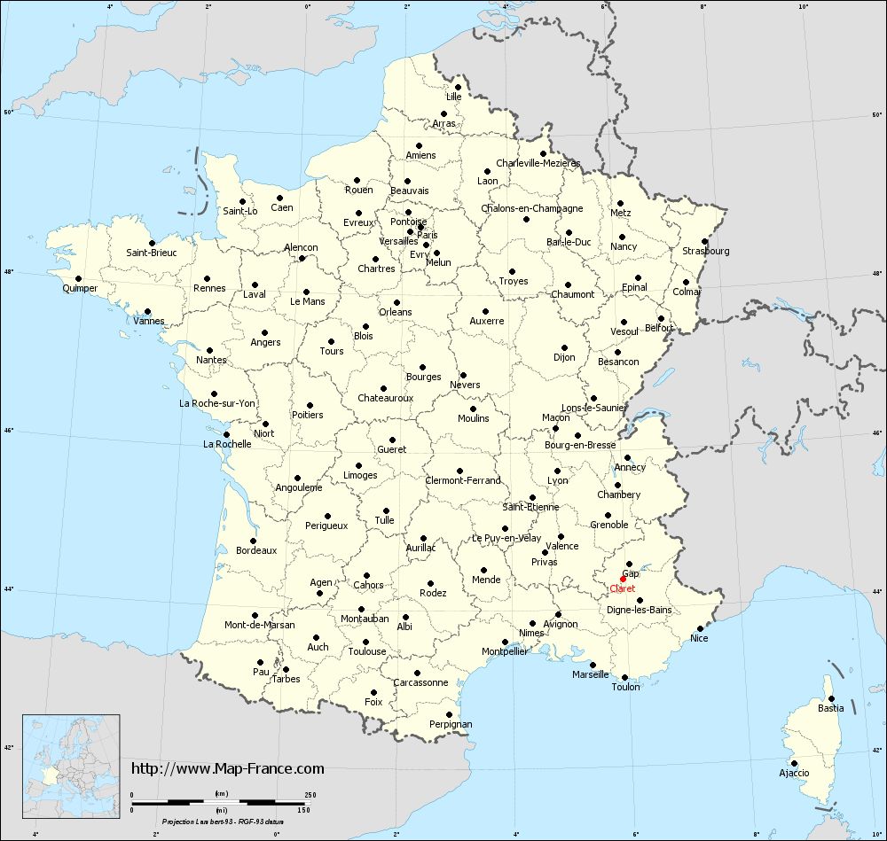
Map of Claret with regions and prefectures
|

View the map of Claret in full screen (1000 x 949)
|
You will find the location of Claret on the map of France of regions in Lambert 93 coordinates. The town of Claret is located in the department of Alpes-de-Haute-Provence of the french region Provence-Alpes-Côte d'Azur.
Geographical sexagesimal coordinates / GPS (WGS84):
Latitude: 44° 22' 20'' North
Longitude: 05° 57' 20'' East
Geographical decimal coordinates :
Latitude: 44.373 degrees (44.373° North)
Longitude: 5.956 degrees (5.956° East)
Lambert 93 coordinates :
X: 9 355 hectometers
Y: 63 681 hectometers
Lambert 2 coordinates :
X: 8 886 hectometers
Y: 19 368 hectometers
Below, the geographical coordinates of Digne-les-Bains, prefecture of the Alpes-de-Haute-Provence department:
Geographical sexagesimal coordinates / GPS (WGS84):
Latitude: 44° 05' 33'' North
Longitude: 06° 14' 08'' East
Geographical decimal coordinates :
Latitude: 44.095 degrees (44.095° North)
Longitude: 6.235 degrees (6.235° East)
Lambert 93 coordinates :
X: 9 590 hectometers
Y: 63 379 hectometers
Lambert 2 coordinates :
X: 9 124 hectometers
Y: 19 068 hectometers
|
This map of Claret is reusable and modifiable by making a link to this page of the Map-France.com website or by using the given code :
|
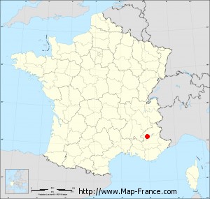
Map of Claret with departments and prefectures
|
Voir la carte of Claret en grand format (1000 x 949)
|
Here is the localization of Claret on the France map of departments in Lambert 93 coordinates. The city of Claret is shown on the map by a red point.
The town of Claret is located in the department of Alpes-de-Haute-Provence of the french region Provence-Alpes-Côte d'Azur.
The latitude of Claret is 44.373 degrees North.
The longitude of Claret is 5.956 degrees East.
Here the distance between Claret and the biggest cities of France:
Distances are calculated as the crow flies (orthodromic distance)
Distance between Claret and Paris : 569.50 kilometers
Distance between Claret and Marseille : 127.54 kilometers
Distance between Claret and Lyon : 177.40 kilometers
Distance between Claret and Toulouse : 370.20 kilometers
Distance between Claret and Nice : 127.99 kilometers
Distance between Claret and Nantes : 661.71 kilometers
Distance between Claret and Strasbourg : 487.73 kilometers
Distance between Claret and Montpellier : 186.78 kilometers
Distance between Claret and Bordeaux : 519.06 kilometers
Distance between Claret and Lille : 728.36 kilometers
Distance between Claret and Rennes : 718.13 kilometers
Distance between Claret and Reims : 562.08 kilometers
Clic here to see the map of Claret in full screen:
Claret on the map of french departments
|
This administrative map of Claret is reusable and modifiable by making a link to this page of the Map-France.com website or by using the given code :
|
Administrative base maps of Claret
|

See the administrative base map of Claret in full screen (1000 x 949)
|
Small administrative base map of Claret
|
This base map administrative of Claret is reusable and modifiable by making a link to this page of the Map-France.com website or by using the given code :
|
 French Version : http://www.cartesfrance.fr