|
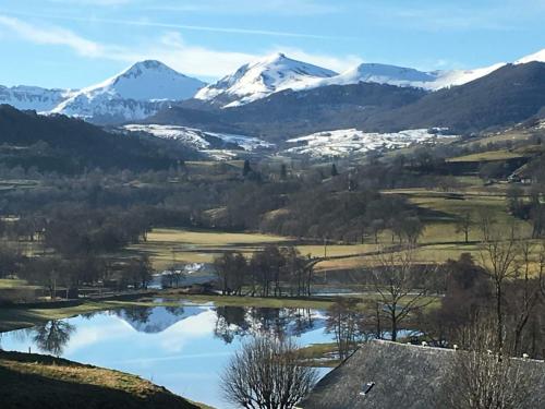
The village of Collandres is a small village located center of France. The town of Collandres is located in the department of Cantal of the french region Auvergne. The town of Collandres is located in the township of Riom-ès-Montagnes part of the district of Mauriac. The area code for Collandres is 15052 (also known as code INSEE), and the Collandres zip code is 15400.
Geography and map of Collandres :
The altitude of the city hall of Collandres is approximately 1 080 meters. The Collandres surface is 43.32 km ². The latitude and longitude of Collandres are 45.236 degrees North and 2.658 degrees East.
Nearby cities and towns of Collandres are :
Apchon (15400) at 3.15 km, Saint-Hippolyte (15400) at 3.89 km, Riom-ès-Montagnes (15400) at 5.24 km, Valette (15400) at 5.43 km, Cheylade (15400) at 5.62 km, Marchastel (15400) at 7.46 km, Le Vaulmier (15380) at 8.58 km, Menet (15400) at 8.87 km.
(The distances to these nearby towns of Collandres are calculated as the crow flies)
Population and housing of Collandres :
The population of Collandres was 223 in 1999, 189 in 2006 and 184 in 2007. The population density of Collandres is 4.25 inhabitants per km². The number of housing of Collandres was 162 in 2007. These homes of Collandres consist of 89 main residences, 61 second or occasional homes and 12 vacant homes. |
|
|
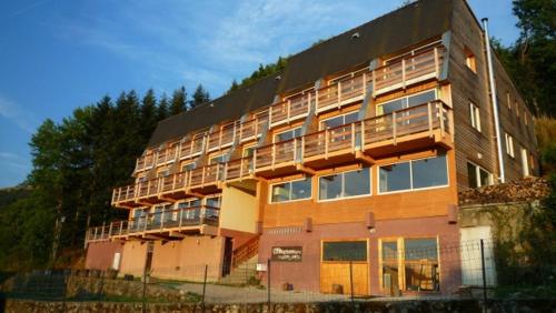
Hotel Collandres
|
|
|
Book now ! Best Price Guaranteed, no booking fees, pay at the hotel with our partner Booking.com, leader in online hotel reservation.
Find all hotels of Collandres : Hotel Collandres
| |
|
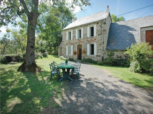
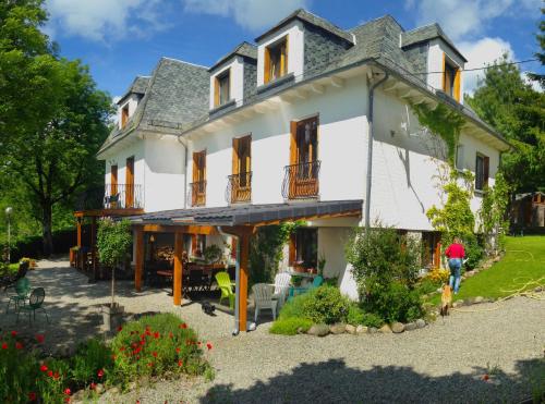
Guest accommodation : Holiday Home La Grangeoune - 05

Holiday Home La Grangeoune - 05 is situated in Riom-ès-Montagnes. The accommodation is 50 km from Super Besse. The property includes a living room with a TV. Salers is 45 km f...
Address : 15400 Riom-ès-Montagnes
Distance Guest accommodation - Collandres : 2.20 km
|
|
|
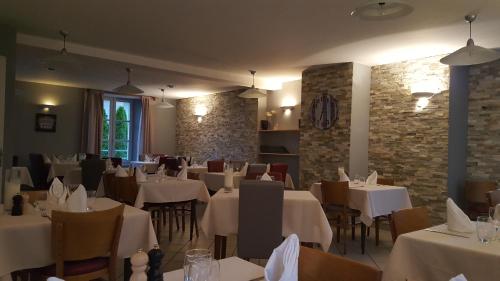
Hotel : Auberge le Cheylet

Offering free WiFi, Auberge le Cheylet is set in Apchon. Among the various facilities are a terrace and a bar. The property features a restaurant. At the hotel, every room is e...
Price : from 45.00 €
to 58.00 €
Contact : 25 rue du champ de foire 15400 Apchon
Distance Hotel - Collandres : 3.06 km
|
|
|
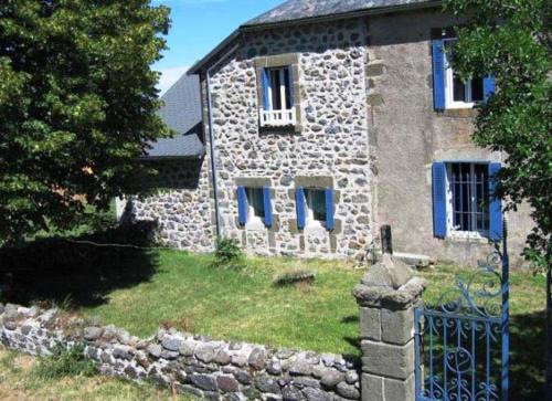
Bed and Breakfast : Logis Coquelicot
Providing garden views, Logis Coquelicot in Riom-ès-Montagnes offers accommodation and a garden. Complimentary WiFi is available. There is a fully equipped private bathroom wit...
Contact : La Gorce 15400 Riom-ès-Montagnes
Distance Bed and Breakfast - Collandres : 4.84 km
|
|
|
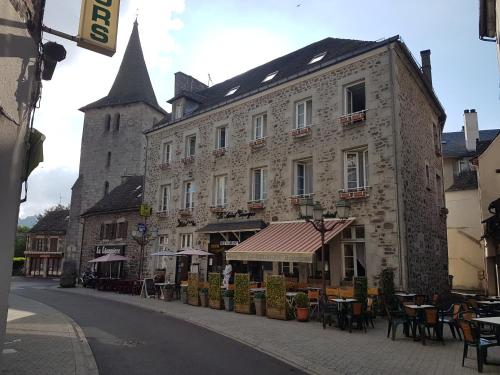
Hotel : Hotel Le Saint Georges
Featuring a bar and free WiFi, Hotel Le Saint Georges is situated in Riom-ès-Montagnes. All rooms feature a flat-screen TV with satellite channels and a private bathroom. French...
Rate : from 47.00 €
to 83.00 €
Contact : 5 Rue du Capitaine Chevalier 15400 Riom-ès-Montagnes
Distance Hotel - Collandres : 5.07 km
|
|
|
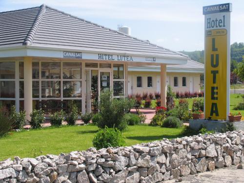
Hotel : Lutea
The Hotel Lutea is located in a peaceful setting in the heart of the Auvergne volcanic park. It offers comfortable rooms, free parking and free Wi-Fi access. Rooms come well-eq...
Price : from 49.00 €
to 63.00 €
Address : Place Du Champ De Foire 15400 Riom-ès-Montagnes
Distance Hotel - Collandres : 5.40 km
|
|
|
Hotel : Le grand hôte l de la vallée
Le grand hôte l de la vallée provides rooms in Cheylade. Free WiFi is available. A continental breakfast is available each morning at the hotel. An array of activities are off...
Prices : from 41.00 €
to 85.00 €
Contact : Le bourg 15400 Cheylade
Distance Hotel - Collandres : 5.49 km
|
|
|
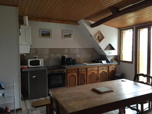
Apartment : Naturessime Eco Village&Spa
Set amongst the Volcanoes of Auvergne National Park, Naturessime Eco Village&Spa is located in Cheylade and offers self-catering apartments. The apartments at Naturessime Eco V...
Rate : from 60.00 €
to 120.00 €
Contact : Le Bourg 15400 Cheylade
Distance Apartment - Collandres : 5.63 km
|
|
|
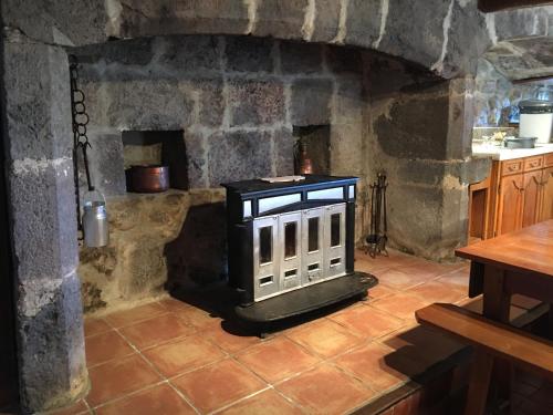
Bed and Breakfast : Gite du Limon
Gite du Limon is set 1050 metres high in Pierrebesse, just 10 km from Riom-ès-Montagnes Ski Resort. It offers free Wi-Fi, a cottage with a private garden and BBQ area. Le Lioran...
Contact : Pierrebesse 15400 Cheylade
Distance Bed and Breakfast - Collandres : 6.46 km
|
|
|
Guest accommodation : Les Lauzes du Mas
Les Lauzes du Mas is located in Marchastel. It features garden views and free WiFi. Super Besse is 39 km from the holiday home, while Salers is 44 km away. The nearest airport ...
Address : Le Mas Nord 15400 Marchastel
Distance Guest accommodation - Collandres : 6.68 km
|
|
|
Guest accommodation : Le Buron du Mas
Located in Marchastel, Le Buron du Mas offers BBQ facilities, free WiFi, a 24-hour front desk, and a shared lounge. The accommodation is 39 km from Super Besse. The holiday hom...
Contact : Le mas 15400 Marchastel
Distance Guest accommodation - Collandres : 6.69 km
|
|
Find another hotel near Collandres : Collandres hotels list
|
Map of Collandres
|
|
Map of Collandres :
At right you can find the localization of Collandres on the map of France. Below, this is the satellite map of Collandres. A road map, and maps templates of Collandres are available here : "road map of Collandres". This map show Collandres seen by the satellite of Google Map. To see the streets of Collandres or move on another zone, use the buttons "zoom" and "map" on top of this dynamic map.
Search on the map of Collandres :
To search hotels, housings, tourist information office, administrations or other services, use the Google search integrated to the map on the following page : "map Collandres".
Hotels of Collandres are listed on the map with the following icons: 
The map of Collandres is centred in the following coordinates :
|

|
|
|
|
Print the map of Collandres

Print the map of Collandres : map of Collandres
|
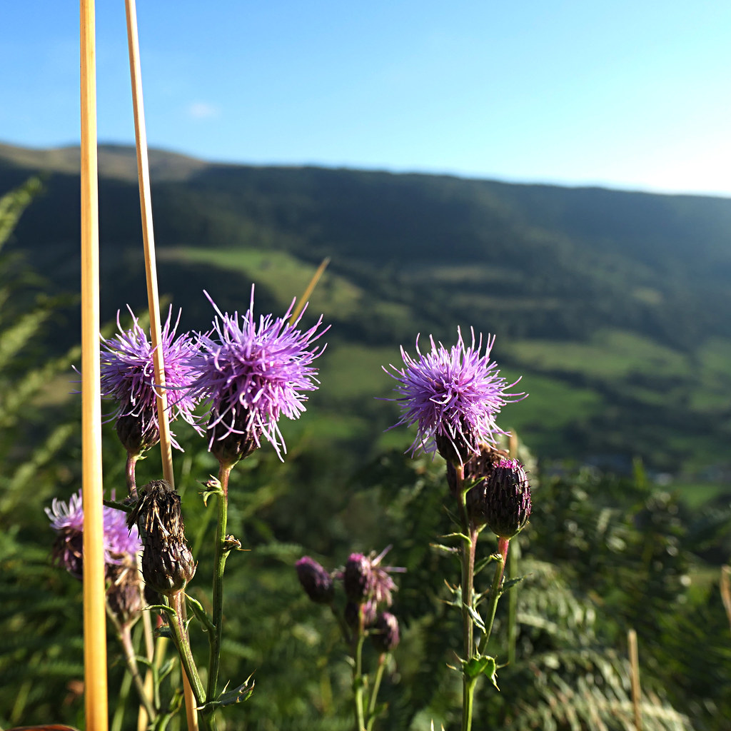
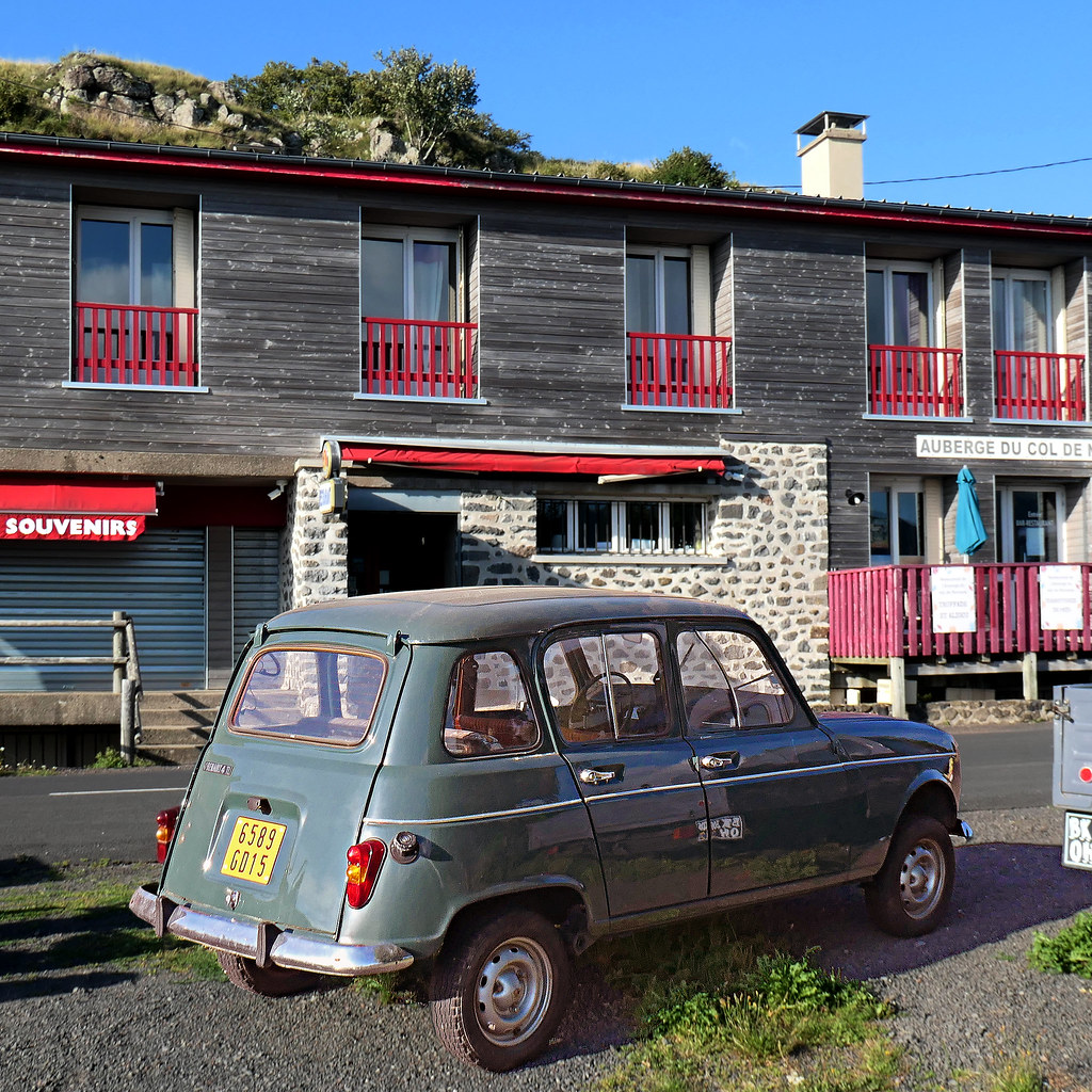
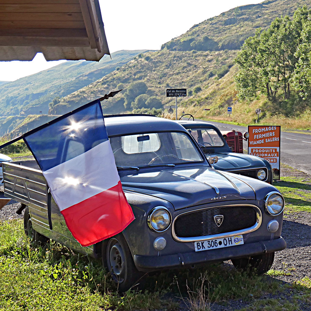
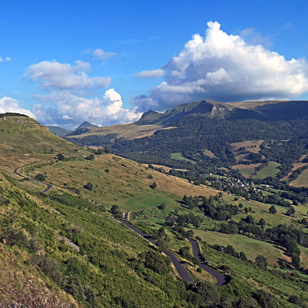
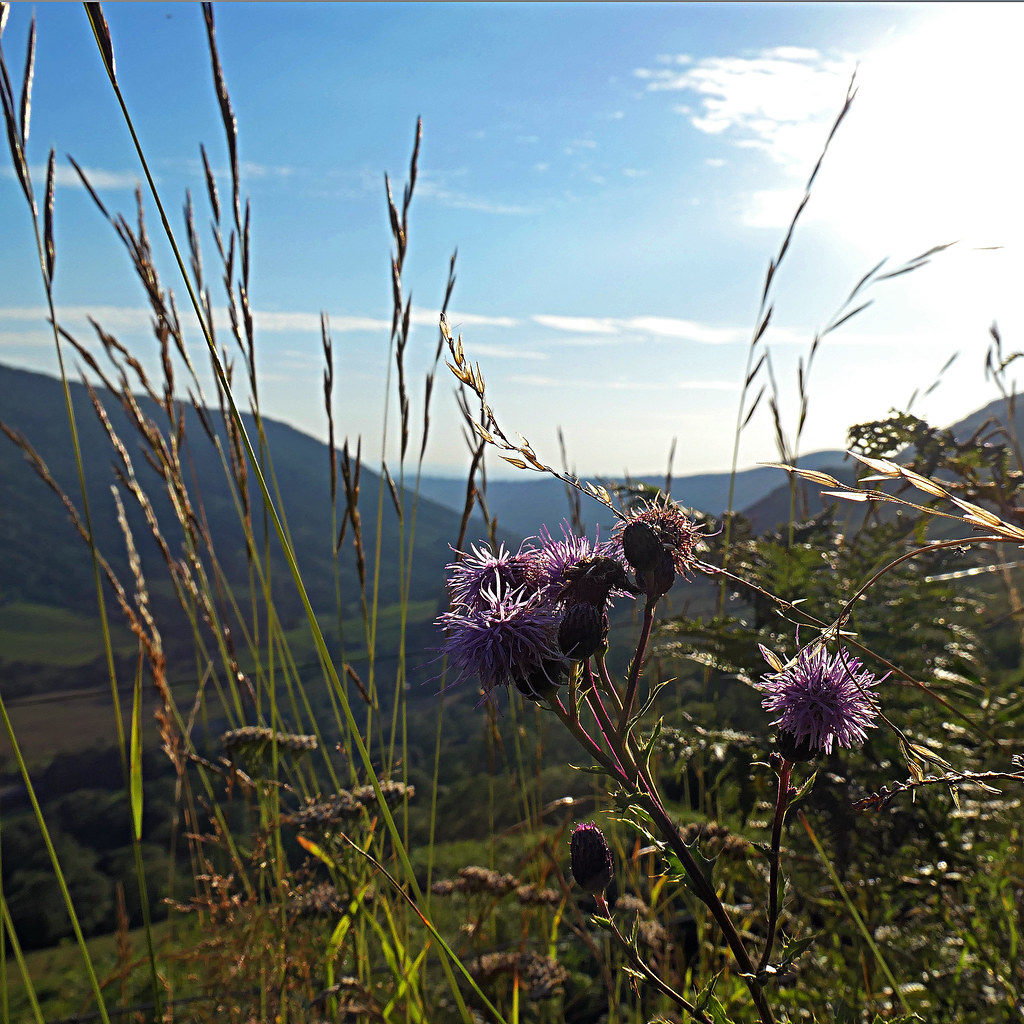
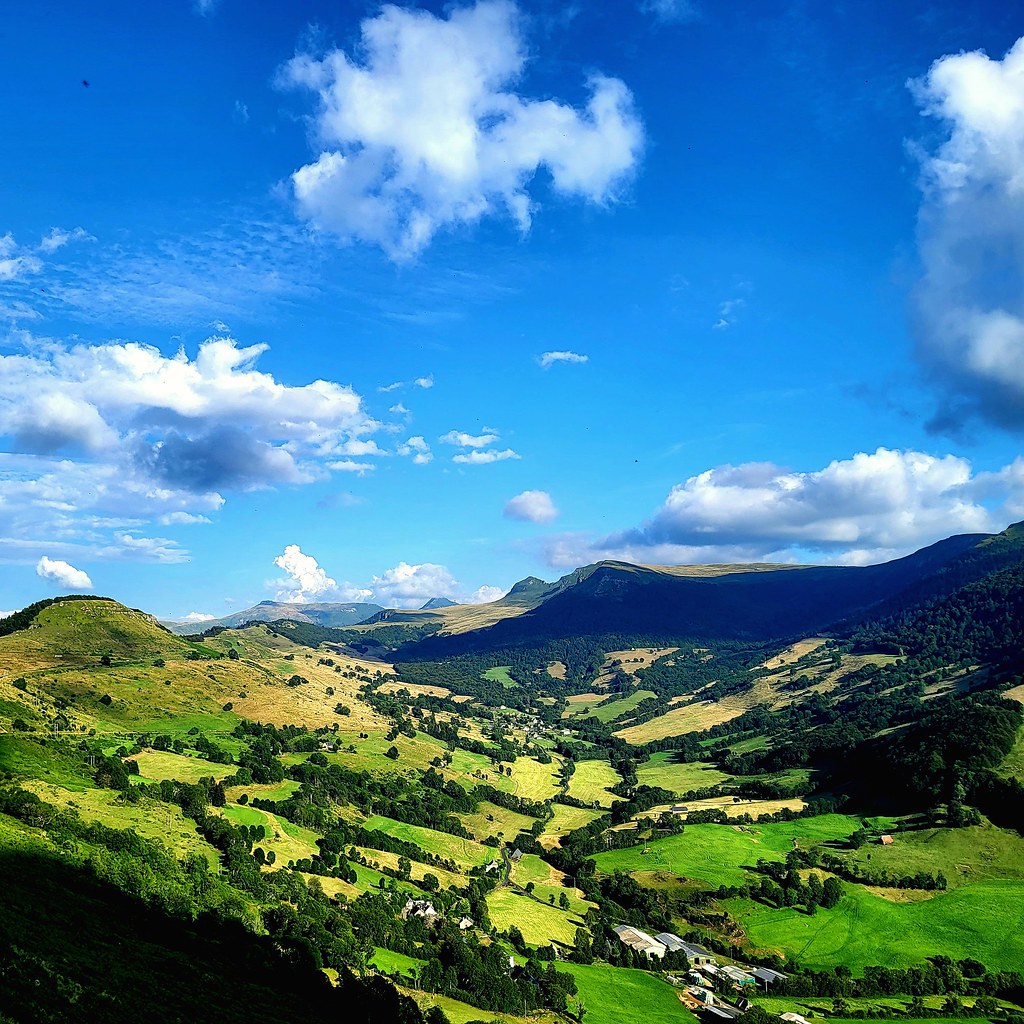
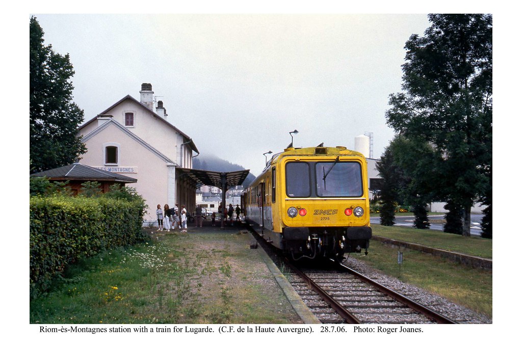
Photos Collandres
|
See all photos of Collandres :
Other photos of Collandres and nearby towns can be found here: photos Collandres
|
|
Collandres weather forecast
Find next hours and 7 days weather forecast for Collandres here : weather Collandres (with english metrics)
This is the last weather forecast for Collandres collected by the nearest observation station of Riom-ès-Montagnes.
Week Forecast:
The latest weather data for Collandres were collected Thursday, 18 April 2024 at 17:00 from the nearest observation station of Riom-ès-Montagnes.
| Thursday, April 18th |
6°C -0°C
64%
78%
|
Rain
Temperature Max: 6°C Temperature Min: -0°C
Precipitation Probability: 64% (Rain)
Percentage of sky occluded by clouds: 78%
Wind speed: 17 km/h South
Humidity: 74%° UV Index: 3
Sunrise: 06:58 Sunset: 20:39 |
|
| | Friday, April 19th |
12°C -2°C
0%
8%
|
Mostly clear
Temperature Max: 12°C Temperature Min: -2°C
Precipitation Probability: 0%
Percentage of sky occluded by clouds: 8%
Wind speed: 9 km/h South-East
Humidity: 56%° UV Index: 6
Sunrise: 06:56 Sunset: 20:41 |
|
| | Saturday, April 20th |
8°C 1°C
0%
42%
|
Partly cloudy
Temperature Max: 8°C Temperature Min: 1°C
Precipitation Probability: 0%
Percentage of sky occluded by clouds: 42%
Wind speed: 16 km/h South
Humidity: 62%° UV Index: 5
Sunrise: 06:55 Sunset: 20:42 |
|
| | Sunday, April 21st |
7°C 0°C
0%
55%
|
Partly cloudy
Temperature Max: 7°C Temperature Min: 0°C
Precipitation Probability: 0%
Percentage of sky occluded by clouds: 55%
Wind speed: 16 km/h Sout-East
Humidity: 62%° UV Index: 4
Sunrise: 06:53 Sunset: 20:43 |
|
|
Attribution: 
|
|
Other maps, hotels and towns in france
Find another town, zip code, department, region, ...
Quick links Collandres :
Make a link to this page of Collandres with the following code :
|
|
|
 French Version : http://www.cartesfrance.fr/carte-france-ville/15052_Collandres.html