|
|
|
|
|
|
Curgies pictures
|
|
|
|
Photos of the town of Curgies
|
These photos taken near the town of Curgies can be shown in full screen clicking on the thumbnails. Photos are copyrighted by their owners.
| | |

Quiévrain station - windows bricked up
|
Overhead wires end at Quiévrain station
|
| |

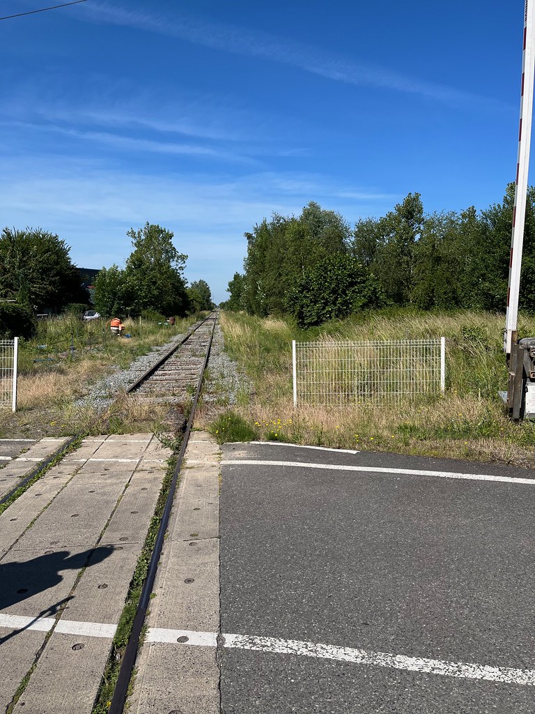
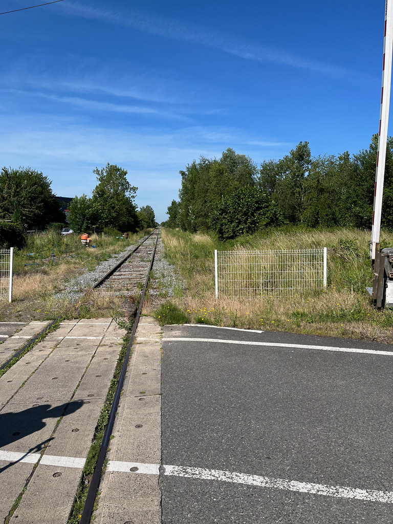
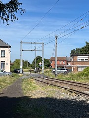
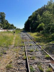
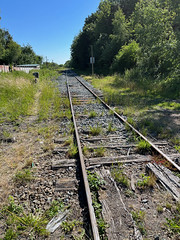
Tracks at Crespin, France - looking back towards Valenciennes, France
|
Valenciennes-Mons Missing Link and Missing Service
|
| |

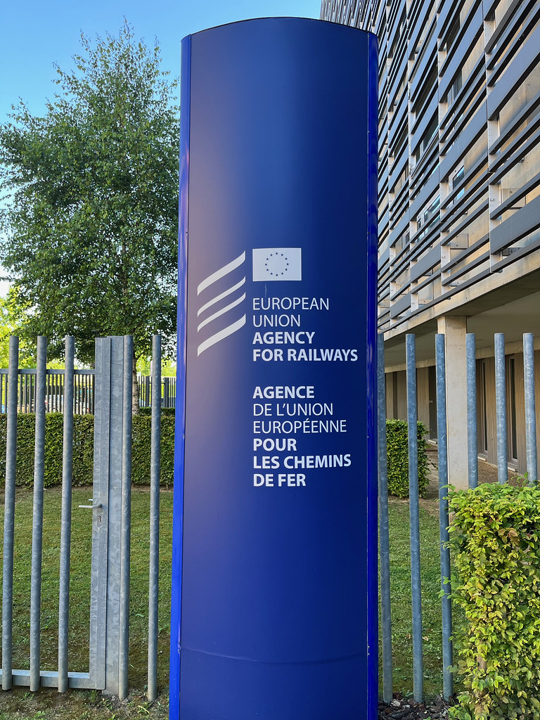
Sign at EU Agency for Railways
|

Must
|
| |
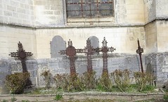
Wargnies-le-Grand chapelle Saint Roch
|
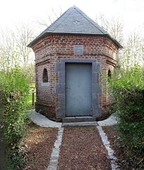
Wargnies-le-Grand chapelle Saint Roch
|
| |
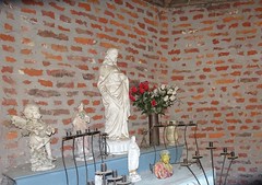
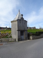
Mausolée du Philanthrope (Wargnies-le-Grand)
|
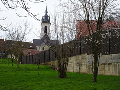
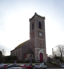
Église Saint-Amand de Wargnies-le-Grand
|
| |
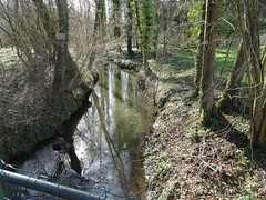
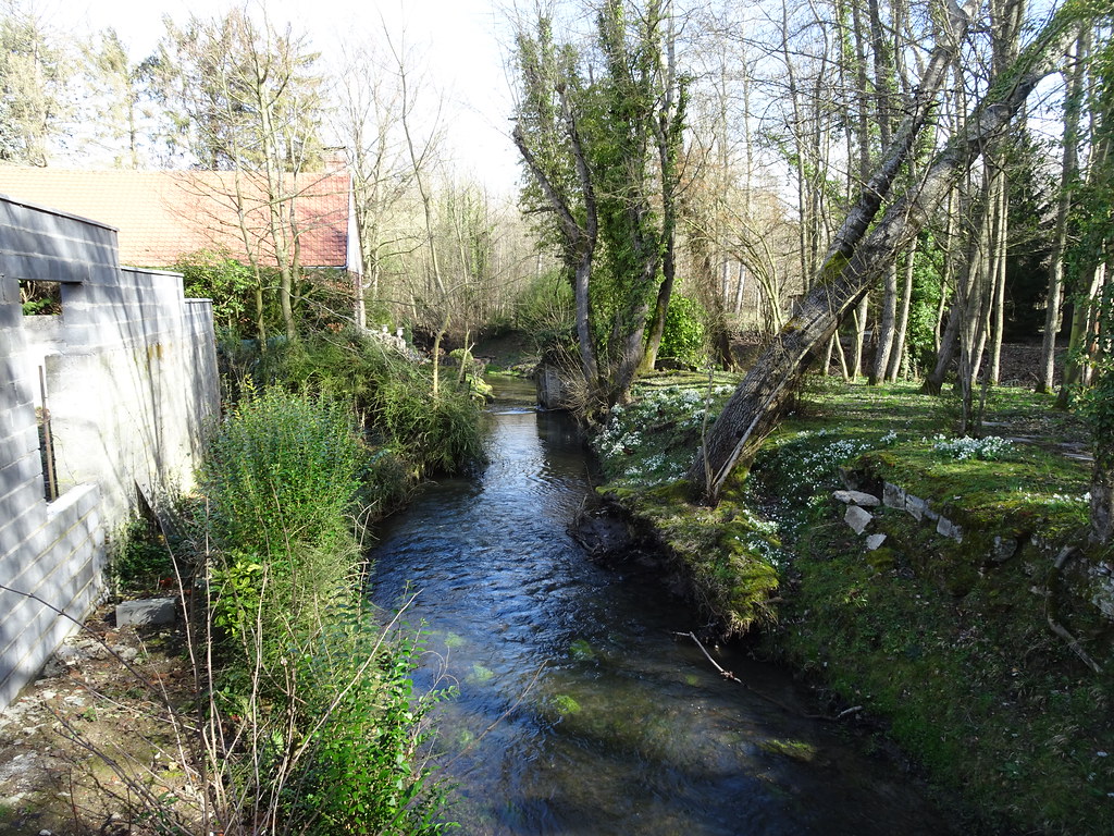
L-Aunelle un affluent en rive gauche de l-Hogneau,
|

L-Aunelle un affluent en rive gauche de l-Hogneau,
|
| |

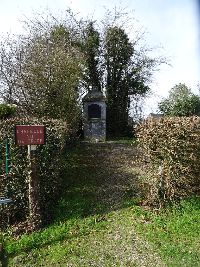
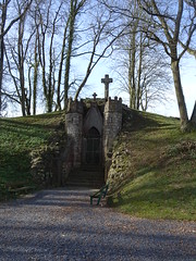
Jenlain- Chapelle N.D. de Grace
|
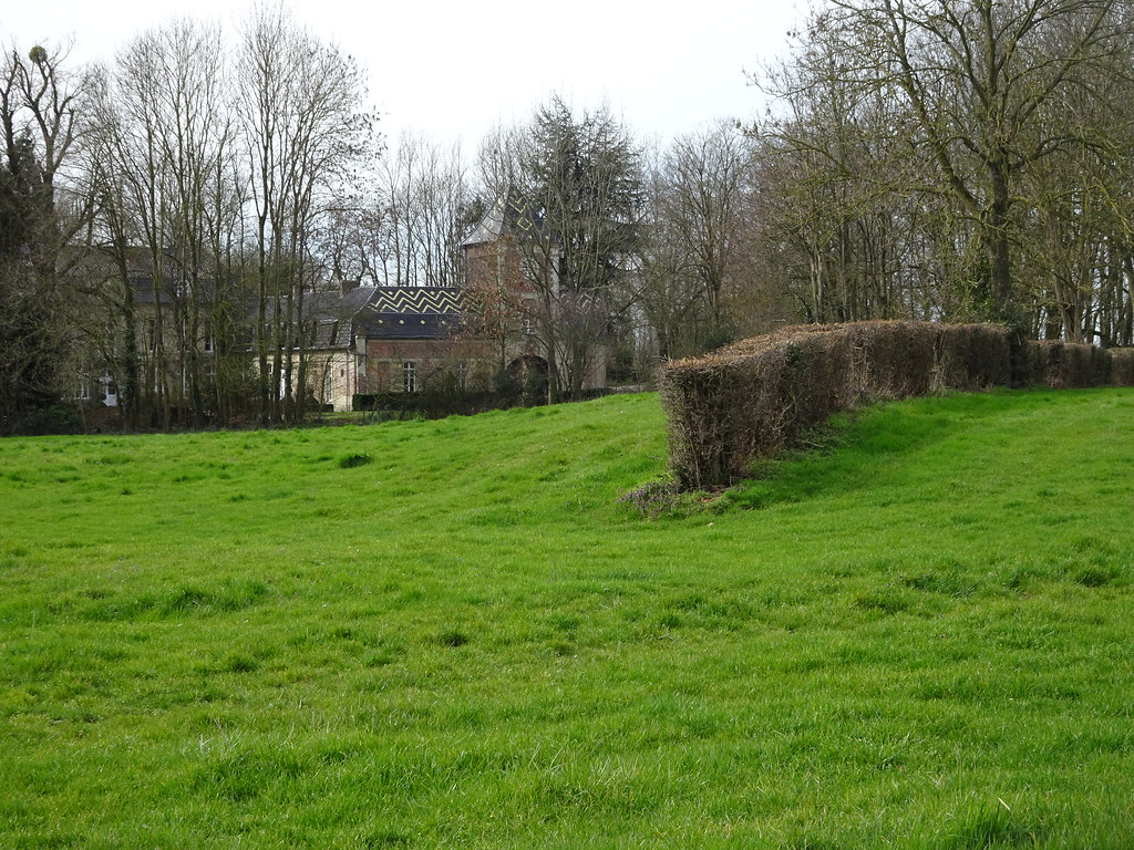
Jenlain.- Château 20 route Nationale
|
| |
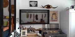
Sebourg.- L-épicerie bar
|
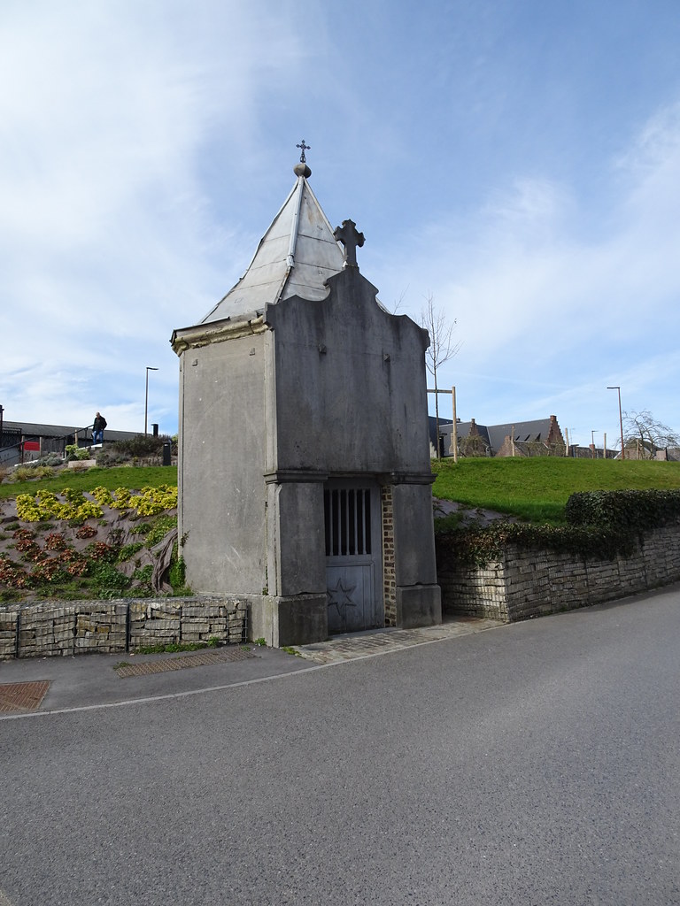
Sebourg Chapelle Notre-Dame de Bonsecours au centre du village.
|
| |
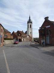
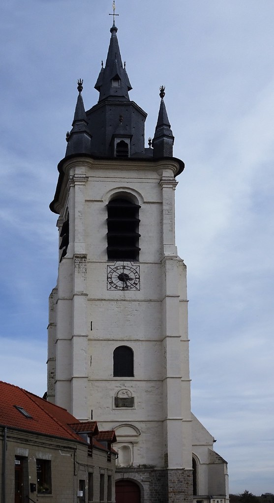
L-église Saint- Martin de Sebourg, aussi appelée couramment église Saint-Druon,
|
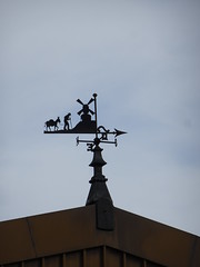
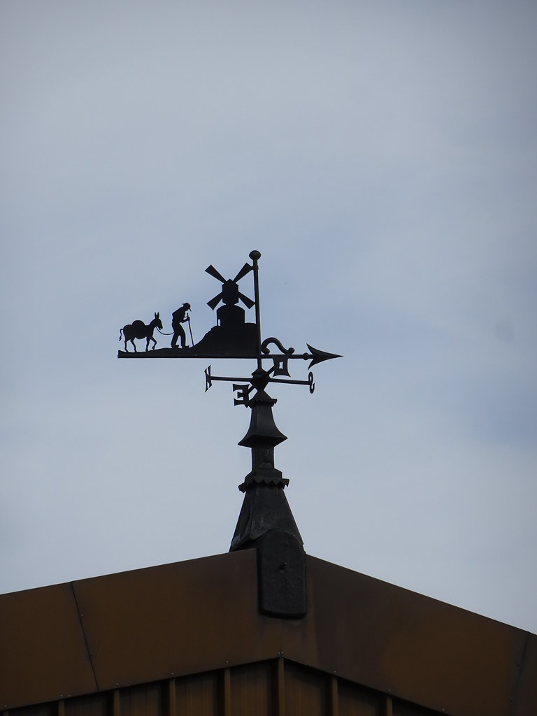
Sebourg, girouette du moulin
|
| |
L-église Saint- Martin de Sebourg, aussi appelée couramment église Saint-Druon,
|
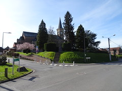
Église Saint-Martin de Jenlain
|
| |
L-église Saint- Martin de Sebourg, aussi appelée couramment église Saint-Druon,
|

L-église Saint- Martin de Sebourg, aussi appelée couramment église Saint-Druon,
|
| |
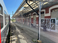
Quiévrain station - windows bricked up
|

Overhead wires end at Quiévrain station
|
| |
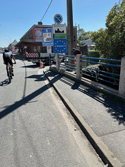
Border road into Belgium at Quiévrain, tobacco store behind
|

Tracks at Crespin, France - looking back towards Valenciennes, France
|
| |
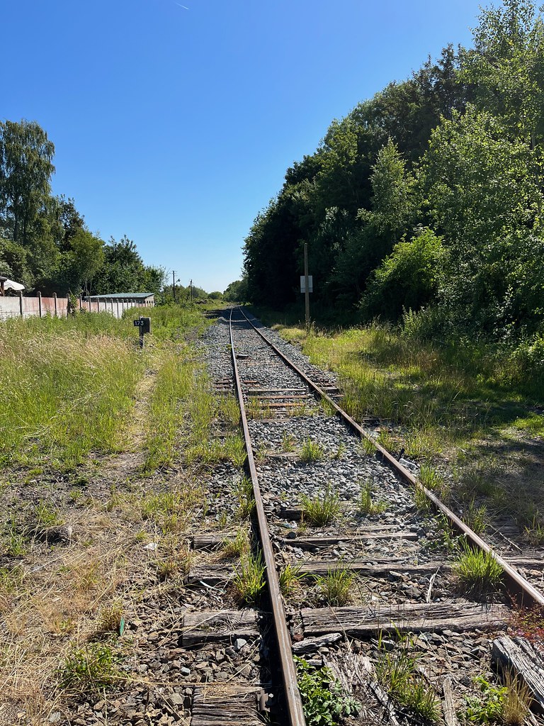
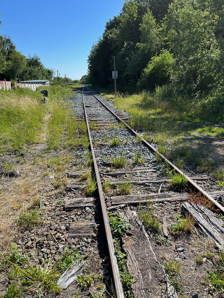
Tracks at Crespin, France - looking towards Quiévrain, Belgium
|

Sign at EU Agency for Railways
|
| |
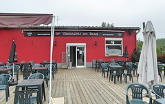
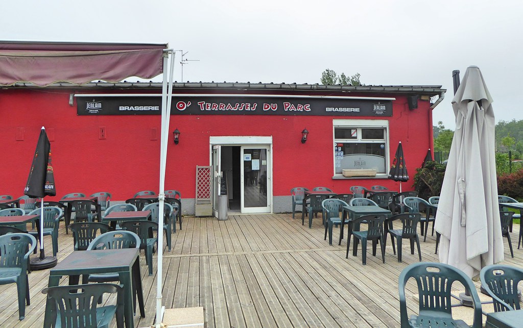
Restaurant O-terrasses Raismes (1)
|
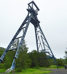
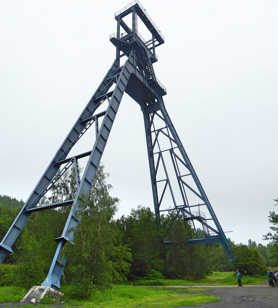
Raismes (2017) - Fosse Sabatier des mines d-Anzin, puits n° 2
|
|
Old photos of the town of Curgies
|
These photos taken near the town of Curgies can be shown in full screen clicking on the thumbnails. Photos are copyrighted by their owners.
|
|
Other maps, hotels and towns in france
Find another town, zip code, department, region, ...
Quick links Curgies :
Back to the menus Map of France :
Make a link to this page of Curgies with the following code :
|
|
Map of France | Regions | Departments | Cities | Partners | Terms | Contact
|