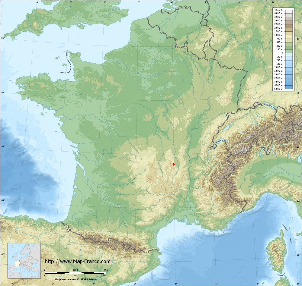
Essertines-en-Châtelneuf on the relief France map in Lambert 93 coordinates
|

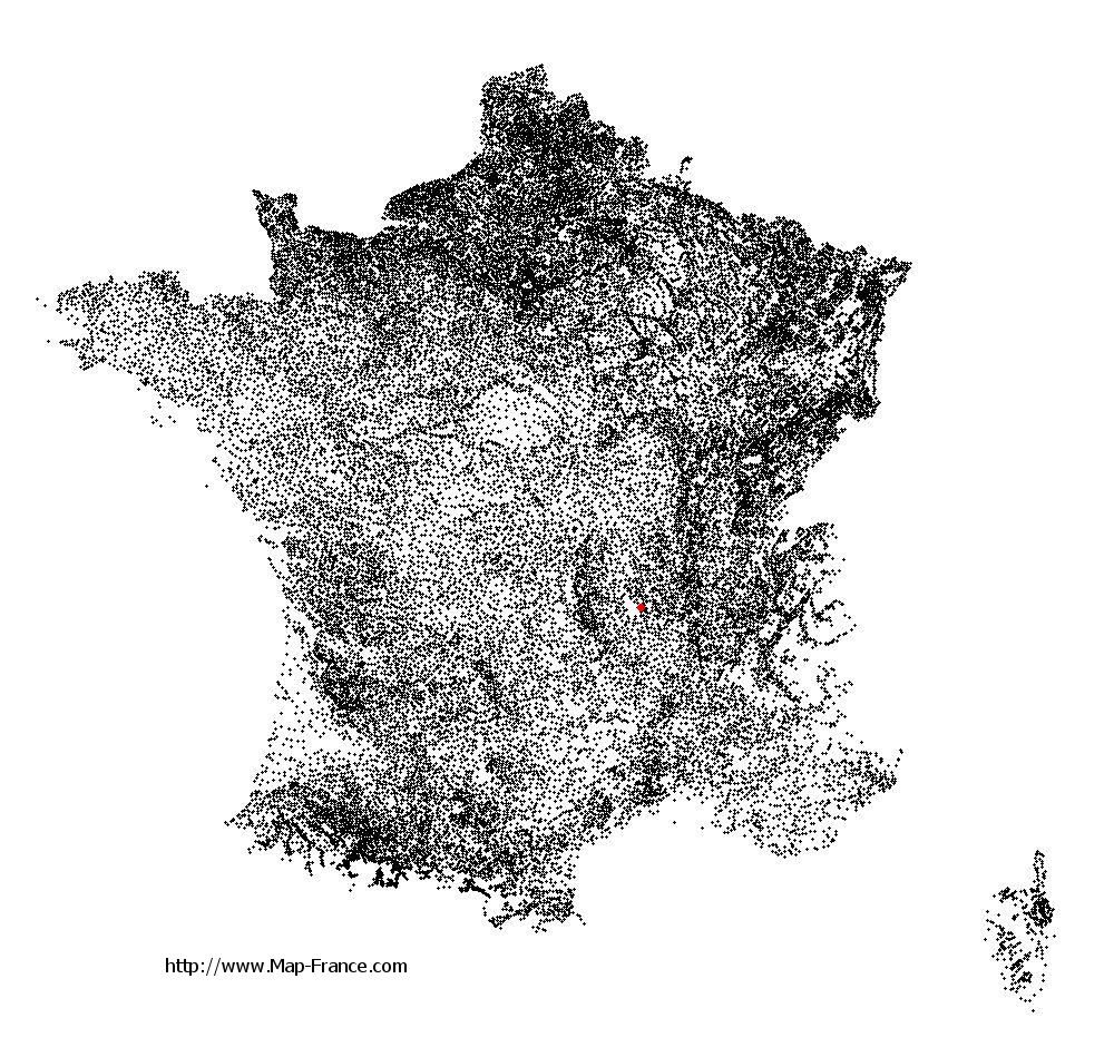
See the map of Essertines-en-Châtelneuf in full screen (1000 x 949)
|
At left, here is the location of Essertines-en-Châtelneuf on the relief France map in Lambert 93 coordinates.
Here are the altitudes of Essertines-en-Châtelneuf :
- Town hall altitude of Essertines-en-Châtelneuf is 700 meters
- Minimum altitude of Essertines-en-Châtelneuf is 444 meters
- Maximum altitude of Essertines-en-Châtelneuf is 1 010 meters
- Medium altitude of Essertines-en-Châtelneuf is 727 meters
Here are the altitudes of Saint-Étienne, prefecture of Loire department:
- Town hall altitude of Saint-Étienne is 515 meters
- Minimum altitude of Saint-Étienne is 422 meters
- Maximum altitude of Saint-Étienne is 1 117 meters
- Medium altitude of Saint-Étienne is 770 meters
Here are the altitudes of the french biggest cities:
Paris : 33 meters
Marseille : 20 meters
Lyon : 237 meters
Toulouse : 146 meters
Nice : 10 meters
Nantes : 20 meters
Strasbourg : 144 meters
Montpellier : 35 meters
Bordeaux : 16 meters
Lille : 20 meters
Rennes : 35 meters
Reims : 83 meters
Click here for the terrain map of Essertines-en-Châtelneuf in full screen:
Relief map of Essertines-en-Châtelneuf
|
This relief map of Essertines-en-Châtelneuf is reusable and modifiable by making a link to this page of the Map-France.com website or by using the given code :
|
Terrain base map of Essertines-en-Châtelneuf
|
See the terrain base map of Essertines-en-Châtelneuf in full screen (1000 x 949)
|
Small relief base map of Essertines-en-Châtelneuf

|
This base map of Essertines-en-Châtelneuf is reusable and modifiable by making a link to this page of the Map-France.com website or by using the given code :
|
Map of Essertines-en-Châtelneuf with regions and prefectures
|
View the map of Essertines-en-Châtelneuf in full screen (1000 x 949)
|
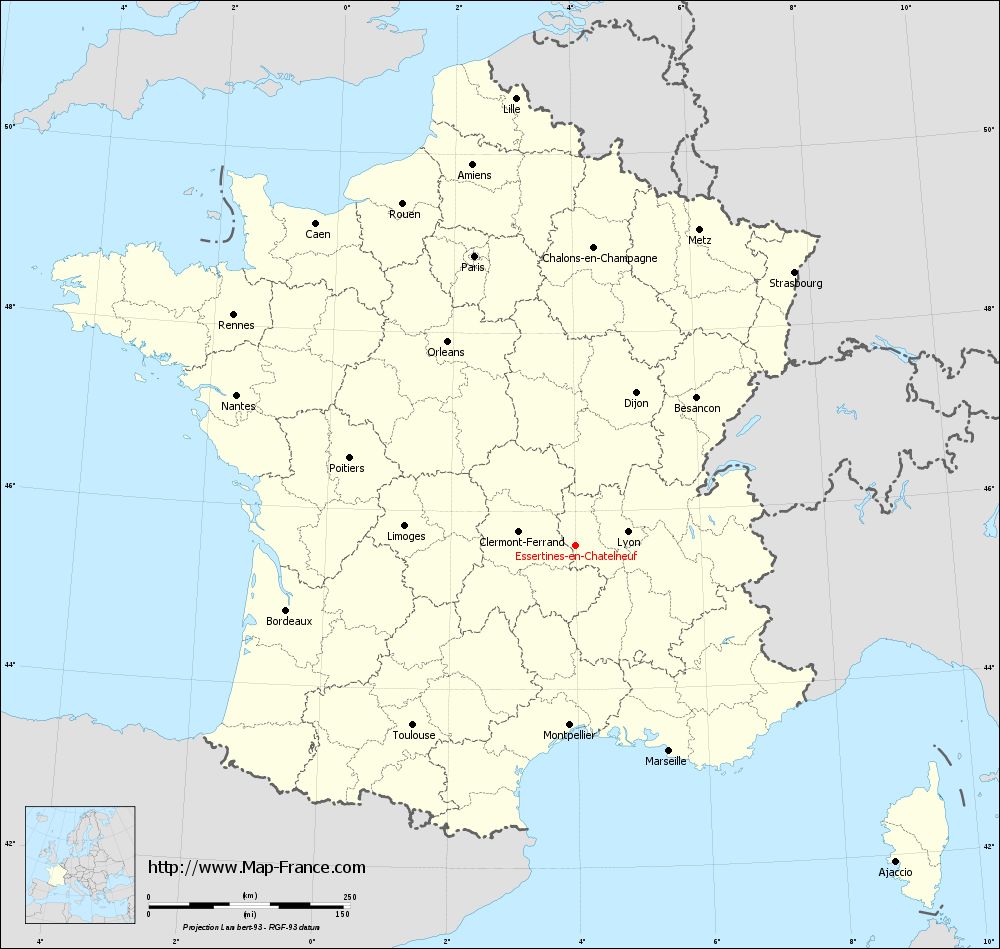
You will find the location of Essertines-en-Châtelneuf on the map of France of regions in Lambert 93 coordinates. The town of Essertines-en-Châtelneuf is located in the department of Loire of the french region Rhône-Alpes.
Geographical sexagesimal coordinates / GPS (WGS84):
Latitude: 45° 37' 09'' North
Longitude: 03° 59' 52'' East
Geographical decimal coordinates :
Latitude: 45.619 degrees (45.619° North)
Longitude: 3.996 degrees (3.996° East)
Lambert 93 coordinates :
X: 7 778 hectometers
Y: 65 027 hectometers
Lambert 2 coordinates :
X: 7 296 hectometers
Y: 20 701 hectometers
Below, the geographical coordinates of Saint-Étienne, prefecture of the Loire department:
Geographical sexagesimal coordinates / GPS (WGS84):
Latitude: 45° 26' 02'' North
Longitude: 04° 23' 23'' East
Geographical decimal coordinates :
Latitude: 45.441 degrees (45.441° North)
Longitude: 4.39 degrees (4.39° East)
Lambert 93 coordinates :
X: 8 086 hectometers
Y: 64 825 hectometers
Lambert 2 coordinates :
X: 7 607 hectometers
Y: 20 502 hectometers
|
This map of Essertines-en-Châtelneuf is reusable and modifiable by making a link to this page of the Map-France.com website or by using the given code :
|
Map of Essertines-en-Châtelneuf with departments and prefectures
|
Voir la carte of Essertines-en-Châtelneuf en grand format (1000 x 949)
|
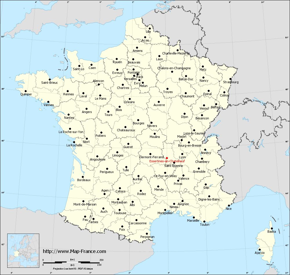
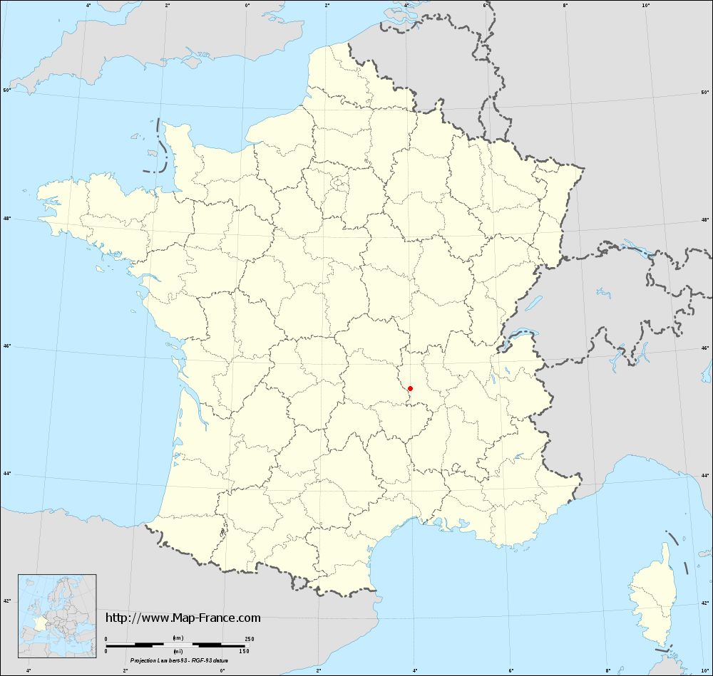
Here is the localization of Essertines-en-Châtelneuf on the France map of departments in Lambert 93 coordinates. The city of Essertines-en-Châtelneuf is shown on the map by a red point.
The town of Essertines-en-Châtelneuf is located in the department of Loire of the french region Rhône-Alpes.
The latitude of Essertines-en-Châtelneuf is 45.619 degrees North.
The longitude of Essertines-en-Châtelneuf is 3.996 degrees East.
Here the distance between Essertines-en-Châtelneuf and the biggest cities of France:
Distances are calculated as the crow flies (orthodromic distance)
Distance between Essertines-en-Châtelneuf and Paris : 381.07 kilometers
Distance between Essertines-en-Châtelneuf and Marseille : 280.91 kilometers
Distance between Essertines-en-Châtelneuf and Lyon : 66.97 kilometers
Distance between Essertines-en-Châtelneuf and Toulouse : 301.39 kilometers
Distance between Essertines-en-Châtelneuf and Nice : 334.31 kilometers
Distance between Essertines-en-Châtelneuf and Nantes : 460.63 kilometers
Distance between Essertines-en-Châtelneuf and Strasbourg : 435.13 kilometers
Distance between Essertines-en-Châtelneuf and Montpellier : 223.53 kilometers
Distance between Essertines-en-Châtelneuf and Bordeaux : 367.84 kilometers
Distance between Essertines-en-Châtelneuf and Lille : 560.99 kilometers
Distance between Essertines-en-Châtelneuf and Rennes : 512.05 kilometers
Distance between Essertines-en-Châtelneuf and Reims : 404.34 kilometers
Clic here to see the map of Essertines-en-Châtelneuf in full screen:
Essertines-en-Châtelneuf on the map of french departments
|
This administrative map of Essertines-en-Châtelneuf is reusable and modifiable by making a link to this page of the Map-France.com website or by using the given code :
|
Administrative base maps of Essertines-en-Châtelneuf
|
See the administrative base map of Essertines-en-Châtelneuf in full screen (1000 x 949)
|
Small administrative base map of Essertines-en-Châtelneuf
|
This base map administrative of Essertines-en-Châtelneuf is reusable and modifiable by making a link to this page of the Map-France.com website or by using the given code :
|
 French Version : http://www.cartesfrance.fr