|
The village of Étable is a small village located south east of France. The town of Étable is located in the department of Savoie of the french region Rhône-Alpes. The town of Étable is located in the township of La Rochette part of the district of Chambéry. The area code for Étable is 73111 (also known as code INSEE), and the Étable zip code is 73110.
Geography and map of Étable :
The altitude of the city hall of Étable is approximately 620 meters. The Étable surface is 2.70 km ². The latitude and longitude of Étable are 45.465 degrees North and 6.145 degrees East.
Nearby cities and towns of Étable are :
Rotherens (73110) at 1.05 km, Presle (73110) at 1.25 km, Le Verneil (73110) at 1.66 km, La Rochette (73110) at 2.02 km, La Croix-de-la-Rochette (73110) at 2.08 km, Villard-Sallet (73110) at 2.46 km, La Table (73110) at 2.62 km, Arvillard (73110) at 3.14 km.
(The distances to these nearby towns of Étable are calculated as the crow flies)
Population and housing of Étable :
The population of Étable was 289 in 1999, 336 in 2006 and 343 in 2007. The population density of Étable is 127.04 inhabitants per km². The number of housing of Étable was 173 in 2007. These homes of Étable consist of 135 main residences, 28 second or occasional homes and 10 vacant homes. |
|
|
Hotel Étable
|
|
|
Book now ! Best Price Guaranteed, no booking fees, pay at the hotel with our partner Booking.com, leader in online hotel reservation.
Find all hotels of Étable : Hotel Étable
| |
|
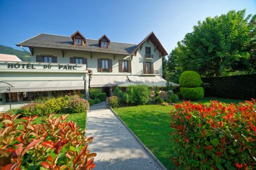
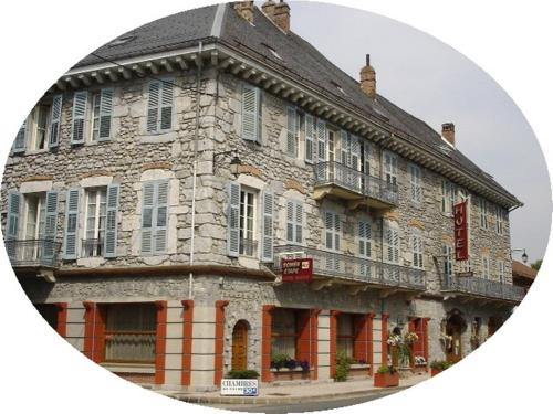
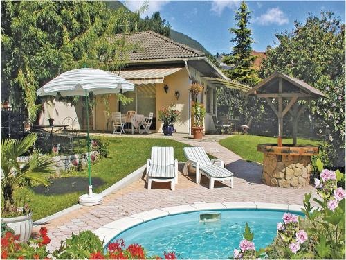
Hotel : Hôtel Restaurant Du Parc

The Hôtel Restaurant Du Parc is located in the Alpine town of La Rochette. It has a large outdoor terrace and en-suite guestrooms with Canal+ TV and free Wi-Fi. The Du Parc res...
Rate : from 74.40 €
to 140.00 €
Address : 64 Rue De La Neuve 73110 La Rochette
Distance Hotel - Étable : 2.10 km
|
|
|
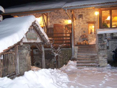
Bed and Breakfast : Au Vieux Four à Pain
Featuring a terrace, Au Vieux Four à Pain is located in La Chapelle-du-Bard, in the heart of Belledonne. This B&B accommodation is set in a wood and stone house in the Allevard ...
Contact : Le Buisson 38580 La Chapelle-du-Bard
Distance Bed and Breakfast - Étable : 7.08 km
|
|
|
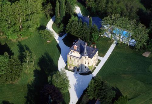
Hotel : Château de la Tour de Puits
Set within 7 hectares of parkland, Château de la Tour de Puits is 18 km from Chambéry. The property has an on-site Spa centre and swimming pool, and offers flights in a private ...
Prices : from 115.00 €
to 430.00 €
Contact : Le Puits 73800 Coise-Saint-Jean-Pied-Gauthier
Distance Hotel - Étable : 7.56 km
|
|
|
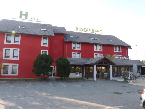
Hotel : Hotel George
Located in the Savoy region, between Chambéry and Albertville, close to nature parks, the 2-star Hotel George is the ideal stopover on the road to the ski resorts or Italy. In ...
Rate : from 57.00 €
to 105.00 €
Contact : 11 Quai De L'isere 73800 Montmélian
Distance Hotel - Étable : 7.62 km
|
|
|
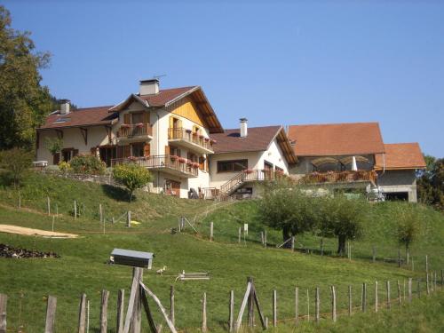
Bed and Breakfast : Ferme Auberge du Bessard
Located on the Belledonne Mountains, Ferme Auberge du Bessard offers en suite rooms and a garden. Guests can enjoy gastronomic meals prepared with local products on request. The...
Price : from 59.00 €
to 64.00 €
Address : Le Bessard 38580 Allevard
Distance Bed and Breakfast - Étable : 7.80 km
|
|
|
Hotel : La Clé Des Champs
Located in beautiful surroundings in Savoie only 15 minutes from Chambery and 25 minutes from Grenoble, this property will welcome you at the foot of the Bauges and the Vercors ...
Prices : from 78.20 €
to 111.00 €
Contact : RD 1006 Quai de l'Isère 73800 Montmélian
Distance Hotel - Étable : 7.82 km
|
|
|
Guest accommodation : Gîte De L'Archevecal
Gîte De L'Archevecal offers rooms in Betton-Bettonet. All rooms boast a kitchen and a private bathroom. The accommodation features free WiFi. All guest rooms at the guest house...
Rate : from 26.35 €
to 82.00 €
Contact : S/N L'Archevecal d'en Bas 73390 Betton-Bettonet
Distance Guest accommodation - Étable : 7.89 km
|
|
|
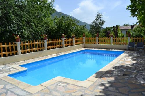
Guest accommodation : Holiday home Cruet 34 with Outdoor Swimmingpool
Situated in Cruet in the Rhône-Alps region, Holiday home Cruet 34 with Outdoor Swimmingpool is a 4-star property featuring free WiFi. Guests staying at this holiday home have ac...
Contact : 73800 Cruet
Distance Guest accommodation - Étable : 8.13 km
|
|
|
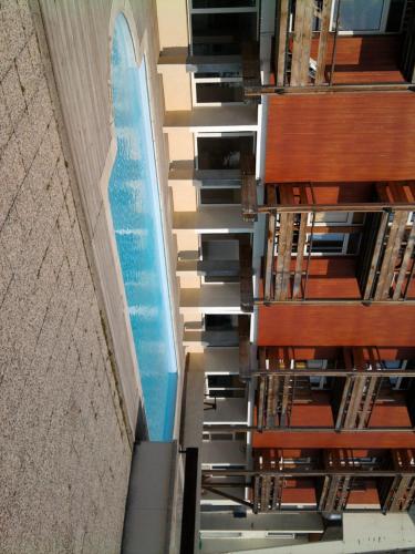
Apartment : Appartements Le Clos des Gentianes
Located in Le Collet d’Allevard Ski Resort, Appartements Le Clos des Gentianes offer self-catering accommodation with access to a heated, seasonal swimming pool and free ski sto...
Prices : from 102.00 €
to 240.00 €
Address : Le Collet d'Allevard 38580 Allevard
Distance Apartment - Étable : 8.34 km
|
|

|
Apartment : Clos des Gentianes
Featuring air-conditioned accommodation with a terrace, Clos des Gentianes is located in Allevard. Guests can go for a swim in the outdoor pool. The apartment has 1 bedroom, a ...
Contact : App 208 2ème étage Unnamed Road 38580 Allevard
Distance Apartment - Étable : 8.37 km
|
|
Find another hotel near Étable : Étable hotels list
|
Map of Étable
|
|
Map of Étable :
At right you can find the localization of Étable on the map of France. Below, this is the satellite map of Étable. A road map, and maps templates of Étable are available here : "road map of Étable". This map show Étable seen by the satellite of Google Map. To see the streets of Étable or move on another zone, use the buttons "zoom" and "map" on top of this dynamic map.
Search on the map of Étable :
To search hotels, housings, tourist information office, administrations or other services, use the Google search integrated to the map on the following page : "map Étable".
Hotels of Étable are listed on the map with the following icons: 
The map of Étable is centred in the following coordinates :
|

|
|
|
|
Print the map of Étable

Print the map of Étable : map of Étable
|
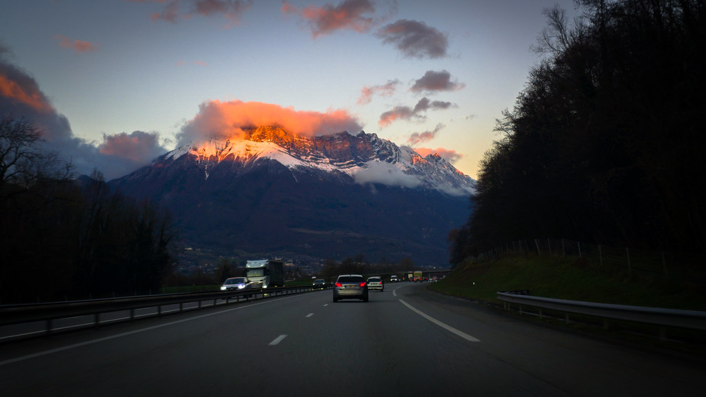
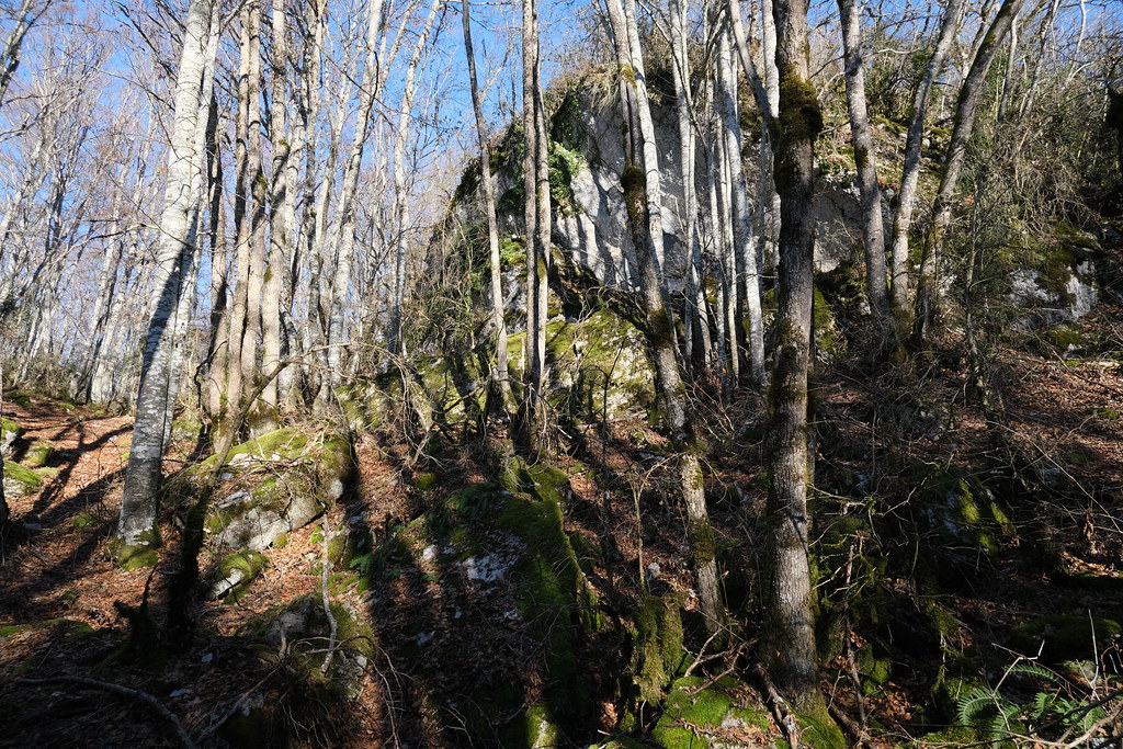
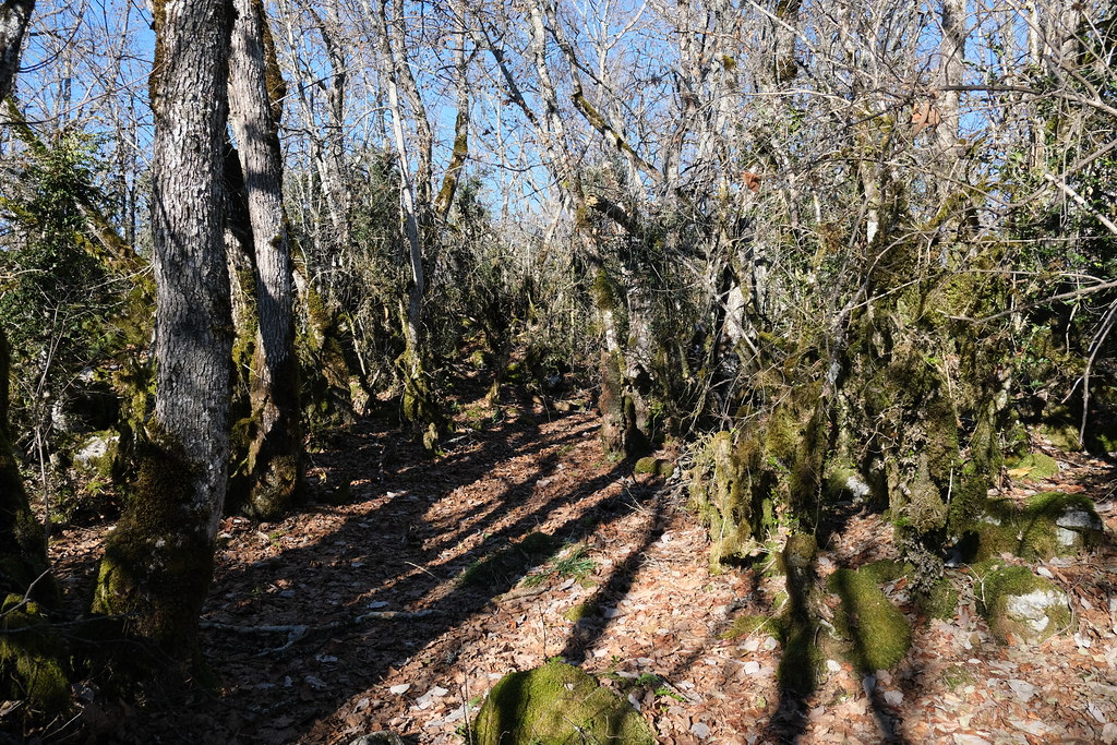
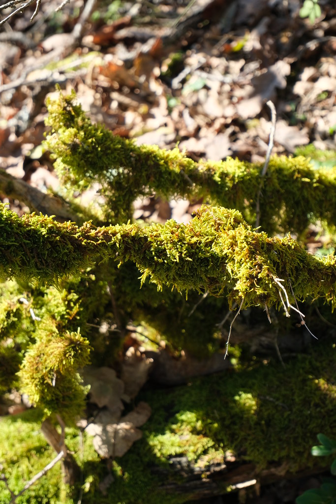
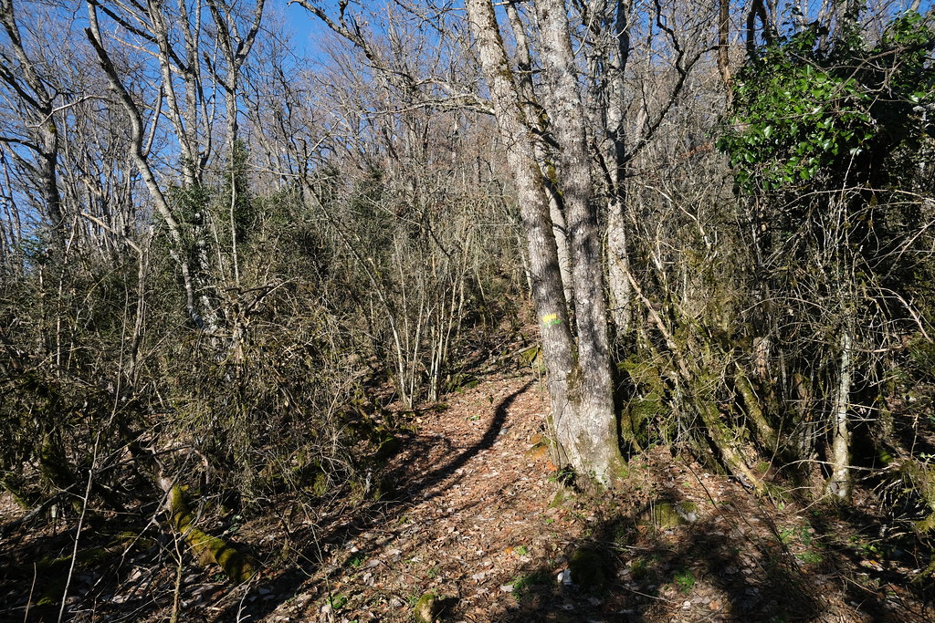
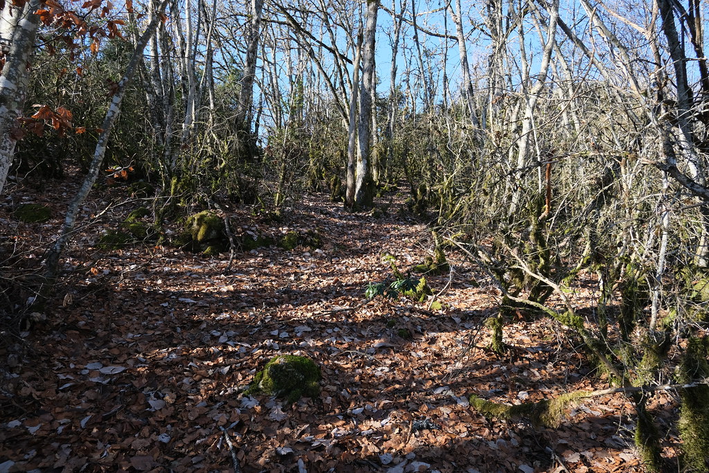
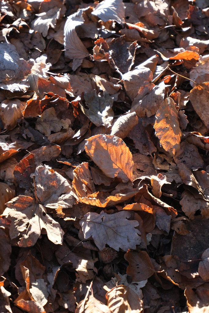
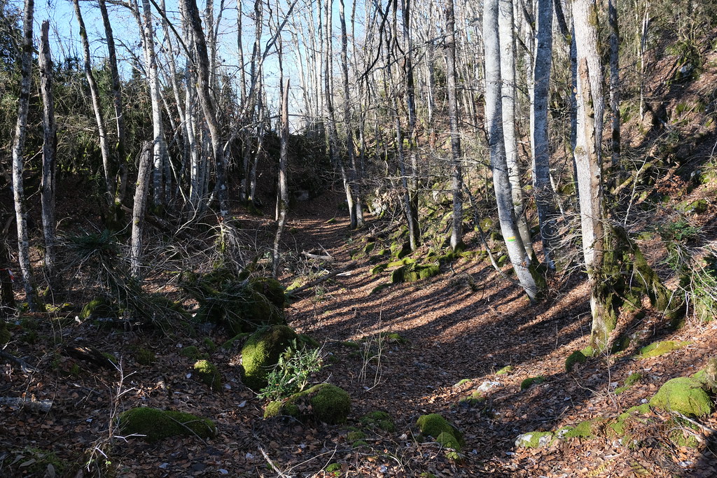
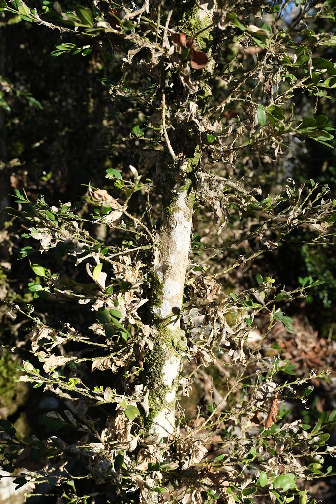
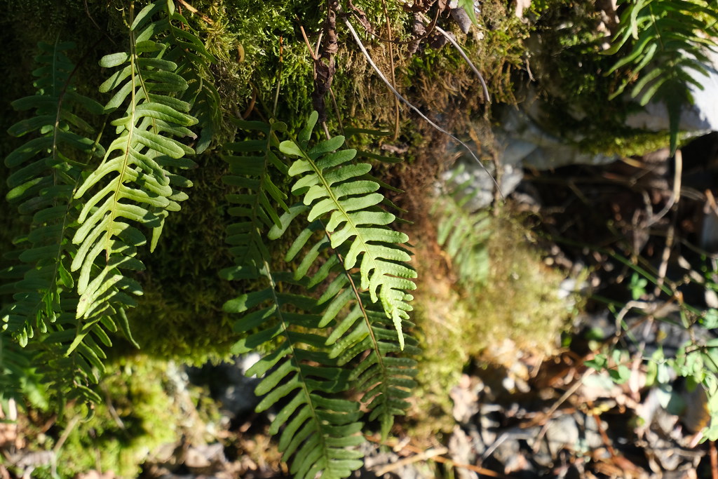
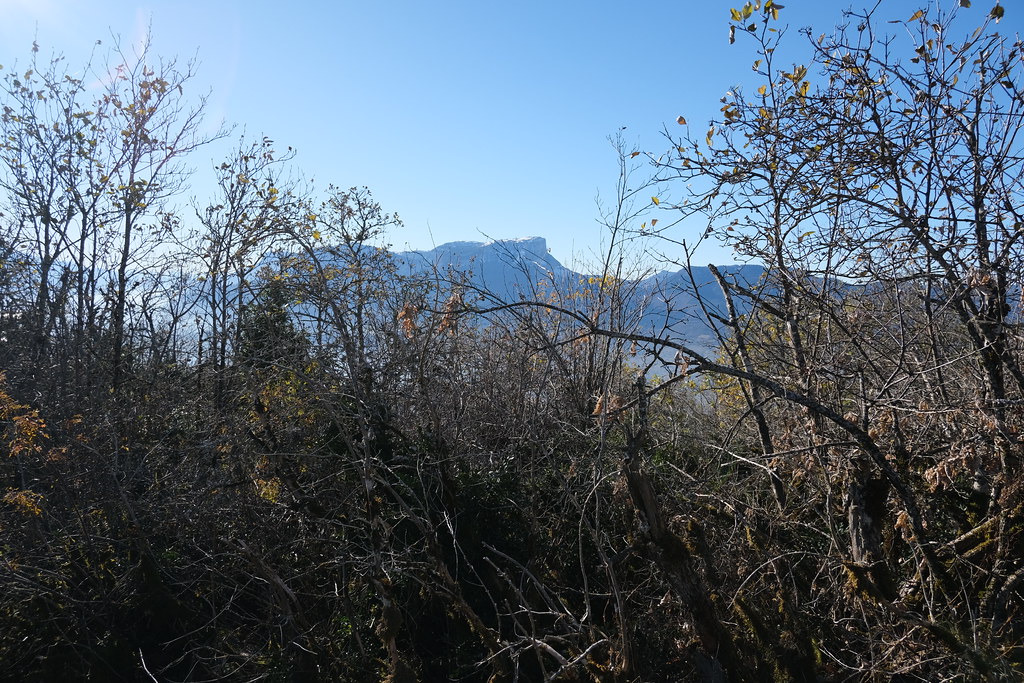
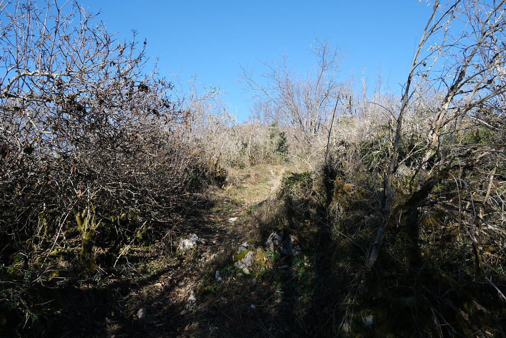
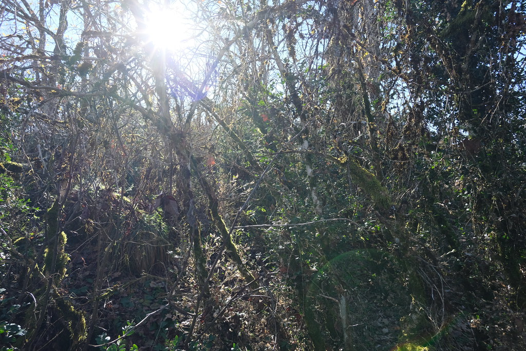
Photos Étable
|
See all photos of Étable :
Other photos of Étable and nearby towns can be found here: photos Étable
|
|
Étable weather forecast
Find next hours and 7 days weather forecast for Étable here : weather Étable (with english metrics)
This is the last weather forecast for Étable collected by the nearest observation station of La Rochette.
Week Forecast:
The latest weather data for Étable were collected Friday, 19 April 2024 at 17:00 from the nearest observation station of La Rochette.
| Friday, April 19th |
13°C 0°C
40%
59%
|
Rain
Temperature Max: 13°C Temperature Min: 0°C
Precipitation Probability: 40% (Rain)
Percentage of sky occluded by clouds: 59%
Wind speed: 3 km/h South-East
Humidity: 53%° UV Index: 4
Sunrise: 06:42 Sunset: 20:27 |
|
| | Saturday, April 20th |
11°C 4°C
73%
71%
|
Rain
Temperature Max: 11°C Temperature Min: 4°C
Precipitation Probability: 73% (Rain)
Percentage of sky occluded by clouds: 71%
Wind speed: 7 km/h South-East
Humidity: 66%° UV Index: 4
Sunrise: 06:41 Sunset: 20:28 |
|
| | Sunday, April 21st |
8°C 2°C
34%
78%
|
Drizzle
Temperature Max: 8°C Temperature Min: 2°C
Precipitation Probability: 34% (Rain)
Percentage of sky occluded by clouds: 78%
Wind speed: 5 km/h South-East
Humidity: 68%° UV Index: 3
Sunrise: 06:39 Sunset: 20:30 |
|
| | Monday, April 22nd |
10°C 0°C
0%
84%
|
Mostly cloudy
Temperature Max: 10°C Temperature Min: 0°C
Precipitation Probability: 0%
Percentage of sky occluded by clouds: 84%
Wind speed: 5 km/h South-East
Humidity: 64%° UV Index: 3
Sunrise: 06:37 Sunset: 20:31 |
|
|
Attribution: 
|
|
Other maps, hotels and towns in france
Find another town, zip code, department, region, ...
Quick links Étable :
Make a link to this page of Étable with the following code :
|
|
|
 French Version : http://www.cartesfrance.fr/carte-france-ville/73111_Etable.html