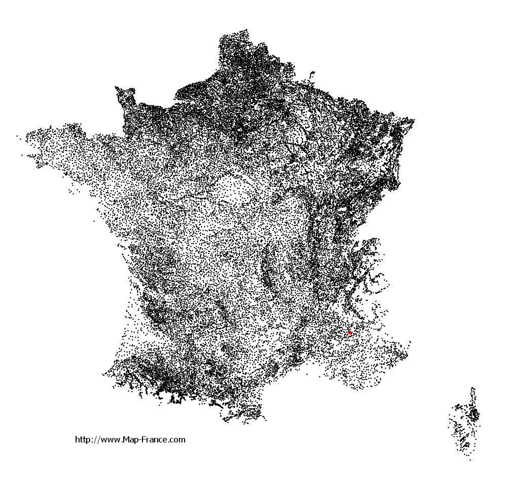
Eyguians on the relief France map in Lambert 93 coordinates
|

See the map of Eyguians in full screen (1000 x 949)
|
At left, here is the location of Eyguians on the relief France map in Lambert 93 coordinates.
Here are the altitudes of Eyguians :
- Town hall altitude of Eyguians is 593 meters
- Minimum altitude of Eyguians is 576 meters
- Maximum altitude of Eyguians is 1 200 meters
- Medium altitude of Eyguians is 888 meters
Here are the altitudes of Gap, prefecture of Hautes-Alpes department:
- Town hall altitude of Gap is 767 meters
- Minimum altitude of Gap is 625 meters
- Maximum altitude of Gap is 2 360 meters
- Medium altitude of Gap is 1 493 meters
Here are the altitudes of the french biggest cities:
Paris : 33 meters
Marseille : 20 meters
Lyon : 237 meters
Toulouse : 146 meters
Nice : 10 meters
Nantes : 20 meters
Strasbourg : 144 meters
Montpellier : 35 meters
Bordeaux : 16 meters
Lille : 20 meters
Rennes : 35 meters
Reims : 83 meters
Click here for the terrain map of Eyguians in full screen:
Relief map of Eyguians
|
This relief map of Eyguians is reusable and modifiable by making a link to this page of the Map-France.com website or by using the given code :
|
Terrain base map of Eyguians
|

See the terrain base map of Eyguians in full screen (1000 x 949)
|
Small relief base map of Eyguians

|
This base map of Eyguians is reusable and modifiable by making a link to this page of the Map-France.com website or by using the given code :
|
Map of Eyguians with regions and prefectures
|
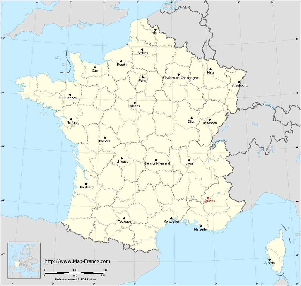
View the map of Eyguians in full screen (1000 x 949)
|
You will find the location of Eyguians on the map of France of regions in Lambert 93 coordinates. The town of Eyguians is located in the department of Hautes-Alpes of the french region Provence-Alpes-Côte d'Azur.
Geographical sexagesimal coordinates / GPS (WGS84):
Latitude: 44° 20' 47'' North
Longitude: 05° 46' 21'' East
Geographical decimal coordinates :
Latitude: 44.346 degrees (44.346° North)
Longitude: 5.772 degrees (5.772° East)
Lambert 93 coordinates :
X: 9 210 hectometers
Y: 63 647 hectometers
Lambert 2 coordinates :
X: 8 741 hectometers
Y: 19 332 hectometers
Below, the geographical coordinates of Gap, prefecture of the Hautes-Alpes department:
Geographical sexagesimal coordinates / GPS (WGS84):
Latitude: 44° 33' 31'' North
Longitude: 06° 04' 40'' East
Geographical decimal coordinates :
Latitude: 44.558 degrees (44.558° North)
Longitude: 6.077 degrees (6.077° East)
Lambert 93 coordinates :
X: 9 444 hectometers
Y: 63 891 hectometers
Lambert 2 coordinates :
X: 8 973 hectometers
Y: 19 579 hectometers
|
This map of Eyguians is reusable and modifiable by making a link to this page of the Map-France.com website or by using the given code :
|
Map of Eyguians with departments and prefectures
|
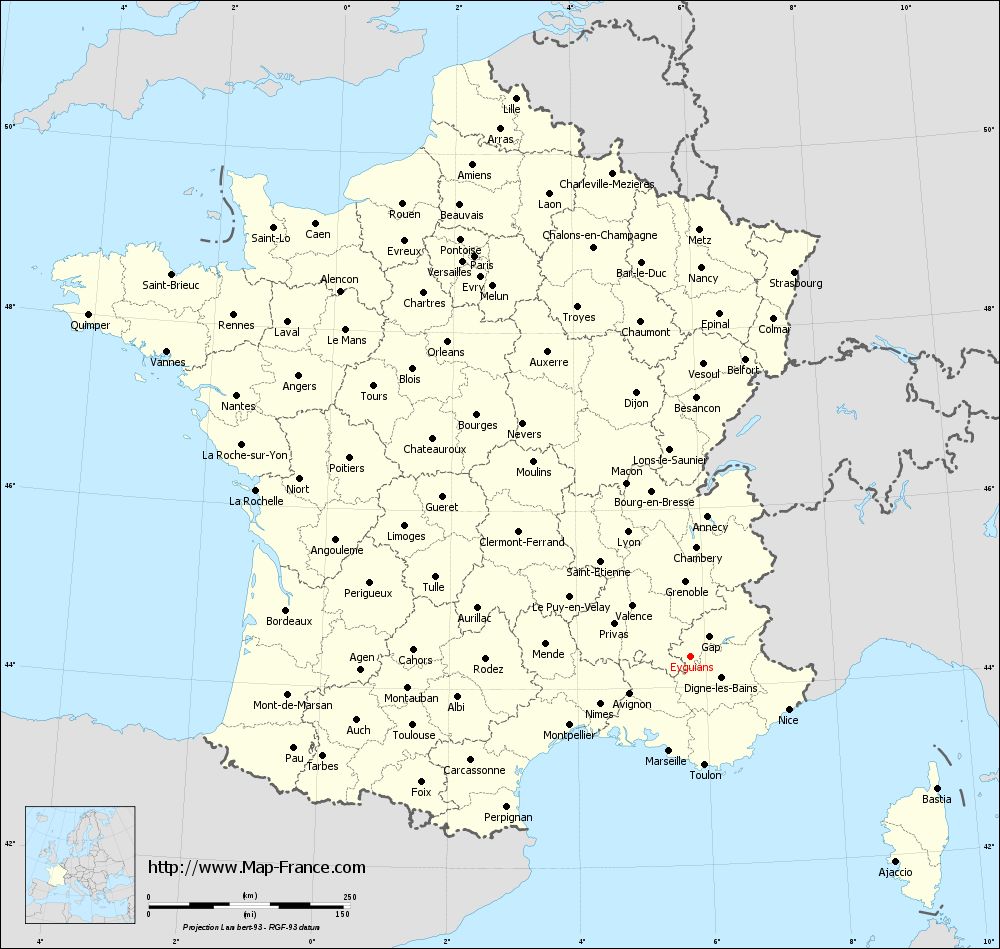
Voir la carte of Eyguians en grand format (1000 x 949)
|
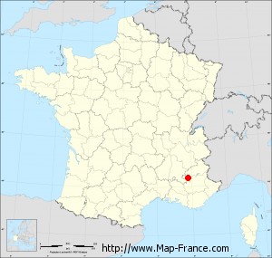
Here is the localization of Eyguians on the France map of departments in Lambert 93 coordinates. The city of Eyguians is shown on the map by a red point.
The town of Eyguians is located in the department of Hautes-Alpes of the french region Provence-Alpes-Côte d'Azur.
The latitude of Eyguians is 44.346 degrees North.
The longitude of Eyguians is 5.772 degrees East.
Here the distance between Eyguians and the biggest cities of France:
Distances are calculated as the crow flies (orthodromic distance)
Distance between Eyguians and Paris : 565.53 kilometers
Distance between Eyguians and Marseille : 120.30 kilometers
Distance between Eyguians and Lyon : 173.41 kilometers
Distance between Eyguians and Toulouse : 355.32 kilometers
Distance between Eyguians and Nice : 138.68 kilometers
Distance between Eyguians and Nantes : 650.83 kilometers
Distance between Eyguians and Strasbourg : 494.70 kilometers
Distance between Eyguians and Montpellier : 172.44 kilometers
Distance between Eyguians and Bordeaux : 505.05 kilometers
Distance between Eyguians and Lille : 727.22 kilometers
Distance between Eyguians and Rennes : 708.53 kilometers
Distance between Eyguians and Reims : 561.50 kilometers
Clic here to see the map of Eyguians in full screen:
Eyguians on the map of french departments
|
This administrative map of Eyguians is reusable and modifiable by making a link to this page of the Map-France.com website or by using the given code :
|
Administrative base maps of Eyguians
|
See the administrative base map of Eyguians in full screen (1000 x 949)
|
Small administrative base map of Eyguians
|
This base map administrative of Eyguians is reusable and modifiable by making a link to this page of the Map-France.com website or by using the given code :
|
 French Version : http://www.cartesfrance.fr