|
The village of Flamarens is a small village located south of France. The town of Flamarens is located in the department of Gers of the french region Midi-Pyrénées. The town of Flamarens is located in the township of Miradoux part of the district of Condom. The area code for Flamarens is 32131 (also known as code INSEE), and the Flamarens zip code is 32340.
Geography and map of Flamarens :
The altitude of the city hall of Flamarens is approximately 190 meters. The Flamarens surface is 14.36 km ². The latitude and longitude of Flamarens are 44.018 degrees North and 0.794 degrees East.
Nearby cities and towns of Flamarens are :
Peyrecave (32340) at 2.93 km, Miradoux (32340) at 3.76 km, Mansonville (82120) at 3.81 km, Saint-Antoine (32340) at 4.20 km, Sistels (82340) at 4.90 km, Lachapelle (82120) at 5.17 km, Saint-Cirice (82340) at 5.66 km, Gimbrède (32340) at 6.45 km.
(The distances to these nearby towns of Flamarens are calculated as the crow flies)
Population and housing of Flamarens :
The population of Flamarens was 146 in 1999, 115 in 2006 and 114 in 2007. The population density of Flamarens is 7.94 inhabitants per km². The number of housing of Flamarens was 87 in 2007. These homes of Flamarens consist of 58 main residences, 23 second or occasional homes and 6 vacant homes. |
|
|
Hotel Flamarens
|
|
|
Book now ! Best Price Guaranteed, no booking fees, pay at the hotel with our partner Booking.com, leader in online hotel reservation.
Find all hotels of Flamarens : Hotel Flamarens
| |
|
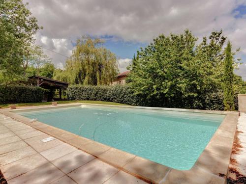
Guest accommodation : Holiday Home Le Chêne-Liege
Holiday Home Le Chêne-Liege is set in Dunes and offers water sports facilities. This holiday home features a private pool, a garden and barbecue facilities. Leading onto a terr...
Address : 82340 Dunes
Distance Guest accommodation - Flamarens : 5.77 km
|
|
|
Guest accommodation : Abracadabraland
Abracadabraland is set in Donzac. The property features a seasonal outdoor swimming pool, as well as a garden. Both free WiFi and private parking are accessible on site. All un...
Price : from 90.00 €
Contact : 1338 Route du Vignoble 82340 Donzac
Distance Guest accommodation - Flamarens : 7.94 km
|
|
|
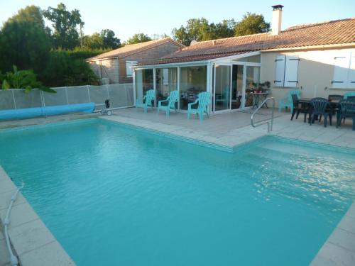
Guest accommodation : Charme et Douceur de Rosiès
Offering an outdoor swimming pool equipped with a motorized cover, Charme et Douceur de Rosiès is set in the countryside, 2 km from the medieval village of Dunes. The property h...
Contact : Lieudit Rozies 82340 Dunes
Distance Guest accommodation - Flamarens : 7.94 km
|
|
|
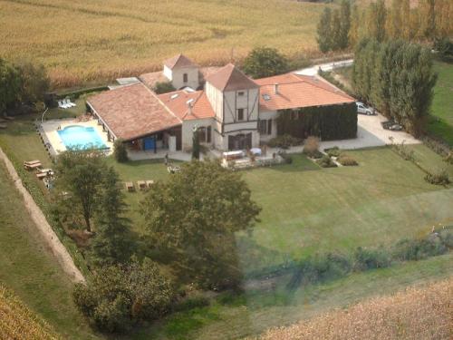
Guest accommodation : Gîtes Rozies
Set 2 km from the medieval village of Dunes, 17 km from Agen, Gîtes Rozies features a seasonal outdoor swimming pool. Montauban is 48 km from the property. Free WiFi is availabl...
Contact : Lieudit Rozies n.a 82340 Dunes
Distance Guest accommodation - Flamarens : 7.96 km
|
|
|
Guest accommodation : Le Farat

With garden views, Le Farat is situated in Auvillar and has accommodation with a kitchen. Free WiFi is featured. The holiday home offers a seating area with a flat-screen TV an...
Address : Lieu Dit Farat 82340 Auvillar
Distance Guest accommodation - Flamarens : 8.84 km
|
|
|
Bed and Breakfast : Le Farat Bed & Breakfast
Set in Auvillar, Le Farat Bed & Breakfast provides accommodation with a seasonal outdoor swimming pool, free WiFi, a concierge service, and luggage storage space. The accommodat...
Contact : Lieu dit Farat 82340 Auvillar
Distance Bed and Breakfast - Flamarens : 8.84 km
|
|
|
Bed and Breakfast : Chambre d'Hôte Les Claoues
A typical Gascon house situated in the village of Plieux, 35 km from Agen, Chambre d'hôte Les Claoues has free Wi-Fi and a private outdoor pool with view onto the countryside. ...
Rate : from 68.00 €
to 80.00 €
Contact : Au Village 32340 Plieux
Distance Bed and Breakfast - Flamarens : 8.93 km
|
|
|
Bed and Breakfast : Las Lebes
Offering a seasonal outdoor swimming pool and free WiFi, Las Lebes offers accommodation in Sempesserre. A continental breakfast is available each morning at the property. The ...
Price : from 60.00 €
to 800.00 €
Contact : Lieu dit " Les Lebes" 32700 Sempesserre
Distance Bed and Breakfast - Flamarens : 9.26 km
|
|
|
Guest accommodation : Les Loges du Manoir
Set in Gramont, Les Loges du Manoir features accommodation with a private pool. With pool views, this accommodation offers a terrace. The lodge is composed of 2 separate bedroo...
Address : Manoir de Havarès - 82120 Gramont
Distance Guest accommodation - Flamarens : 9.29 km
|
|
|
Hotel : Hôtel De L'Horloge
Located in Auvillar, Hôtel De L'Horloge has a bar. Featuring an ATM, this property also provides guests with a restaurant. The accommodation provides free WiFi. At the hotel, r...
Rate : from 64.00 €
to 76.00 €
Contact : 2 Place De L'horloge 82340 Auvillar
Distance Hotel - Flamarens : 10.14 km
|
|
Find another hotel near Flamarens : Flamarens hotels list
|
Map of Flamarens
|
|
Map of Flamarens :
At right you can find the localization of Flamarens on the map of France. Below, this is the satellite map of Flamarens. A road map, and maps templates of Flamarens are available here : "road map of Flamarens". This map show Flamarens seen by the satellite of Google Map. To see the streets of Flamarens or move on another zone, use the buttons "zoom" and "map" on top of this dynamic map.
Search on the map of Flamarens :
To search hotels, housings, tourist information office, administrations or other services, use the Google search integrated to the map on the following page : "map Flamarens".
Hotels of Flamarens are listed on the map with the following icons: 
The map of Flamarens is centred in the following coordinates :
|

|
|
|
|
Print the map of Flamarens

Print the map of Flamarens : map of Flamarens
|
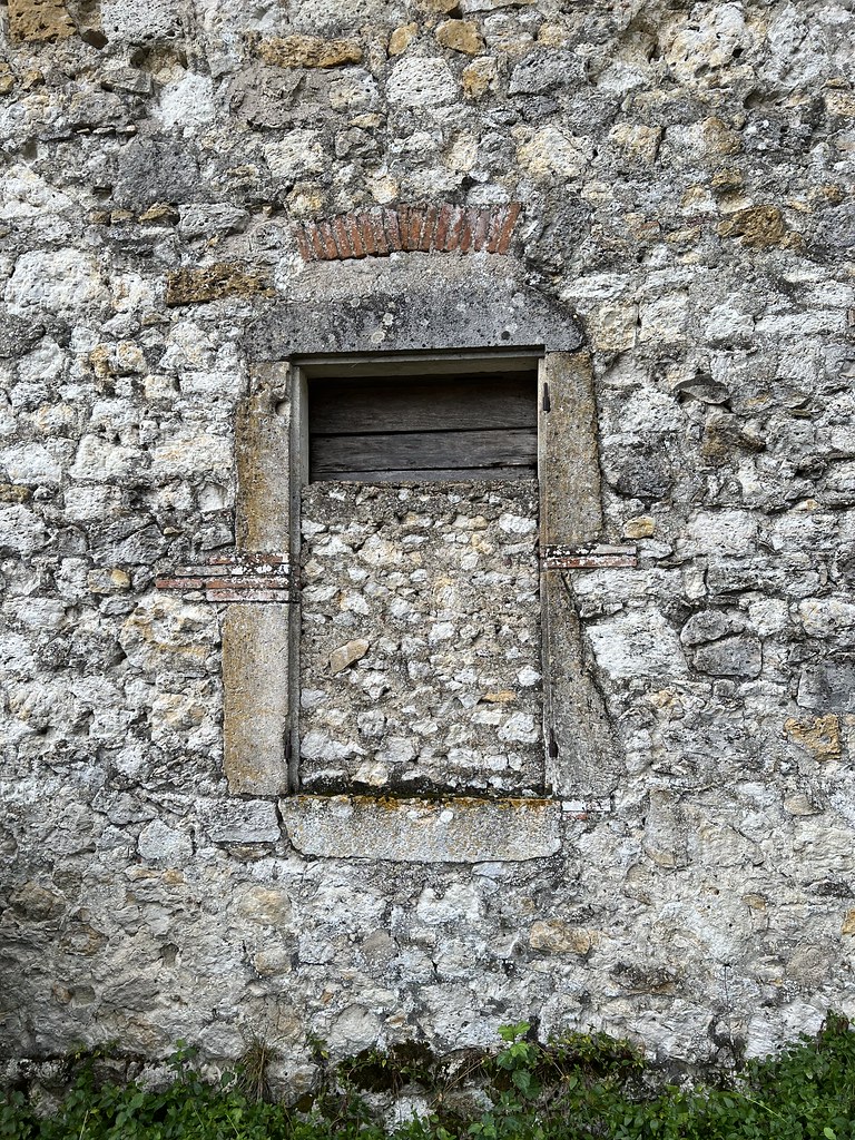
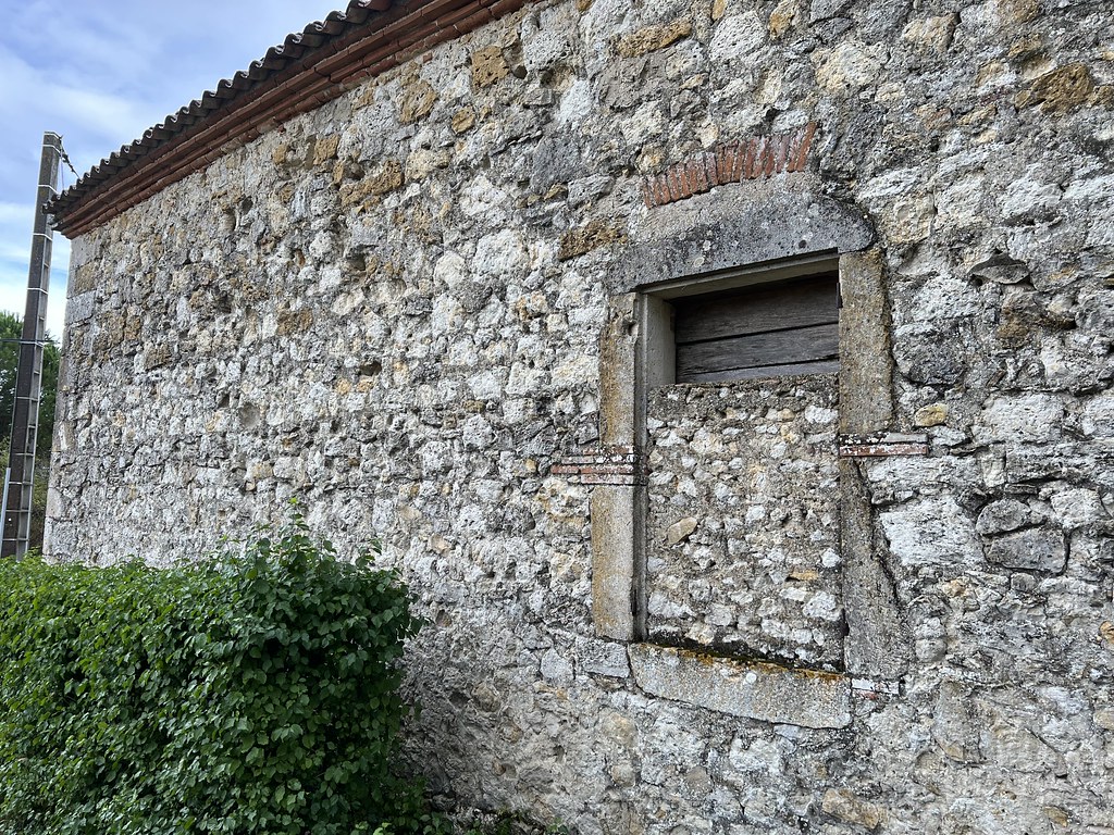
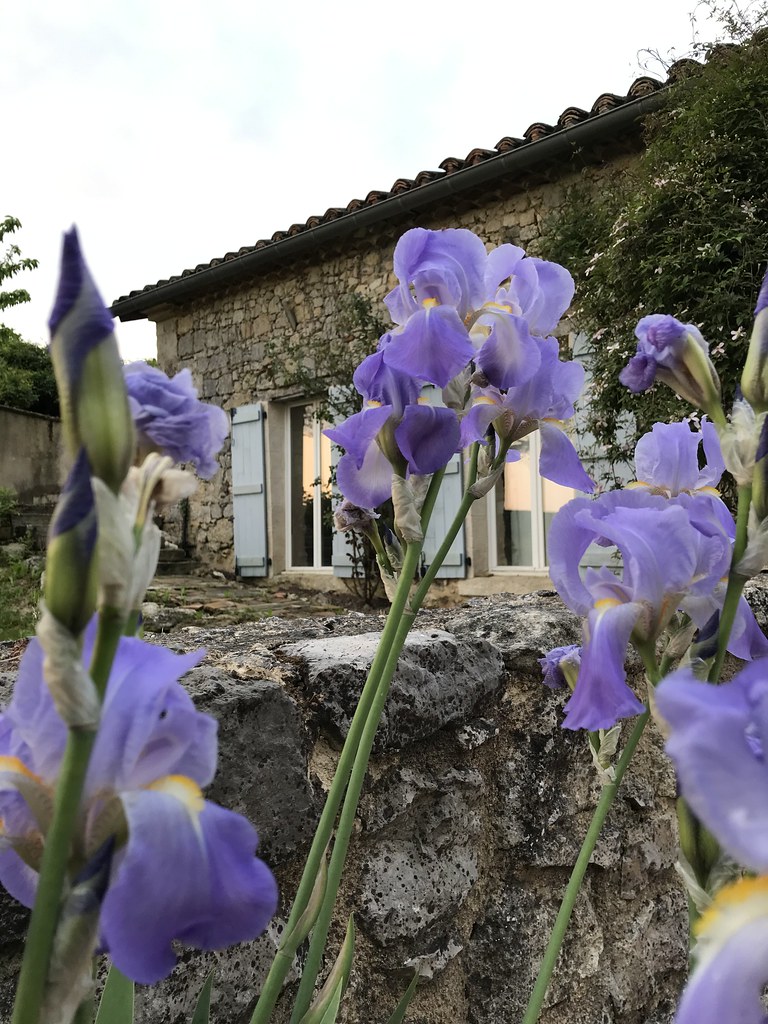
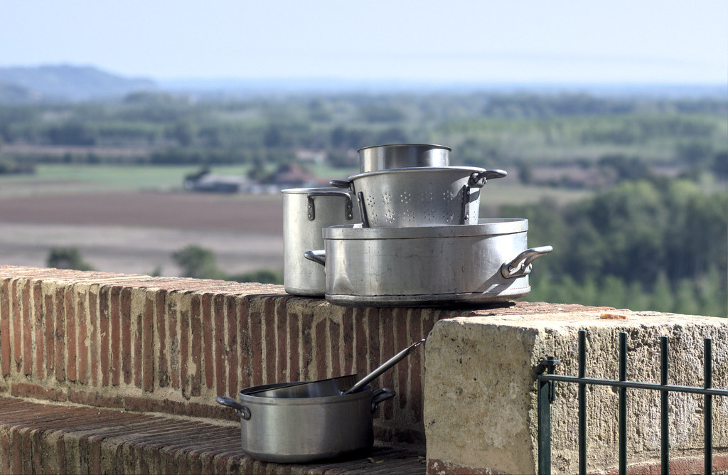
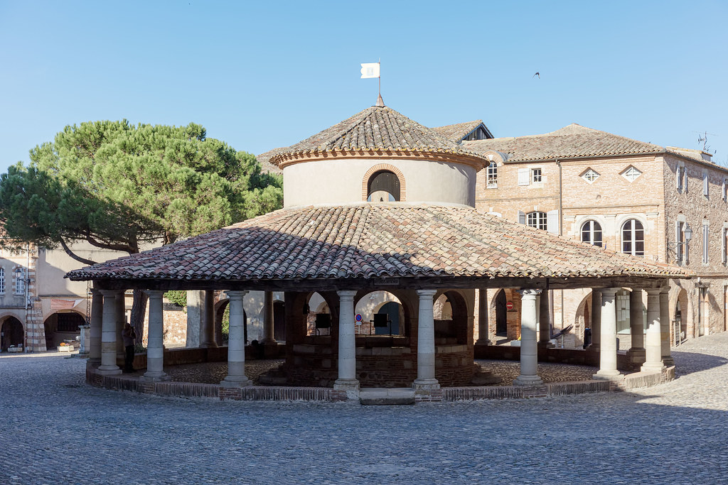
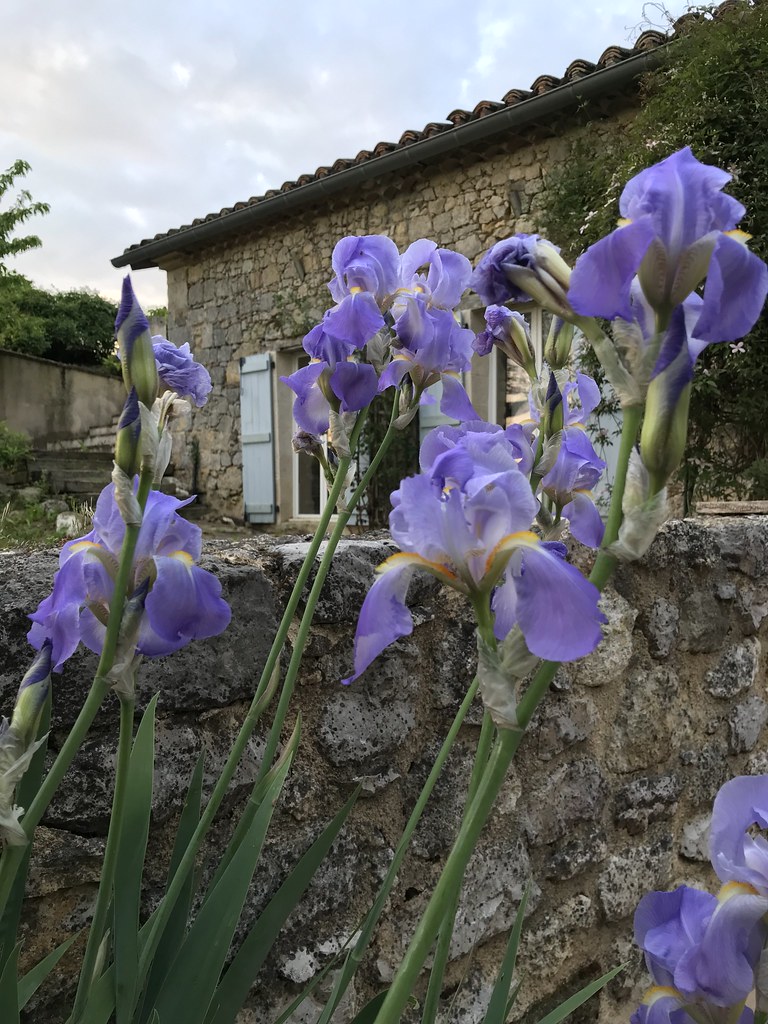
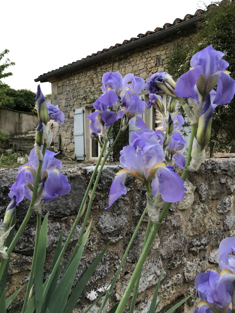
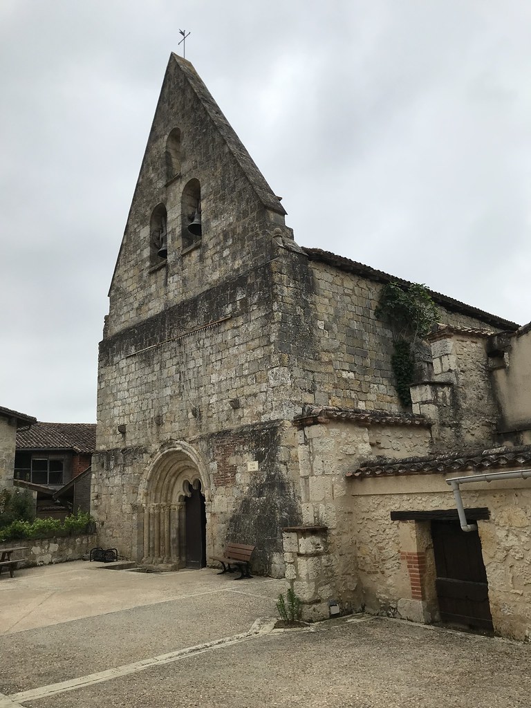
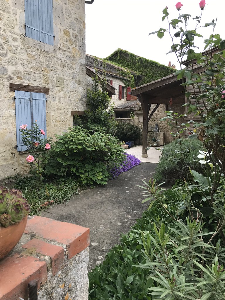
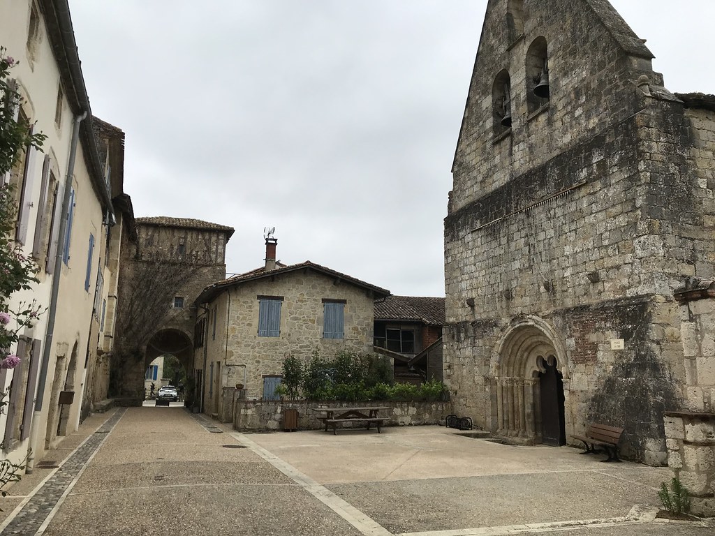
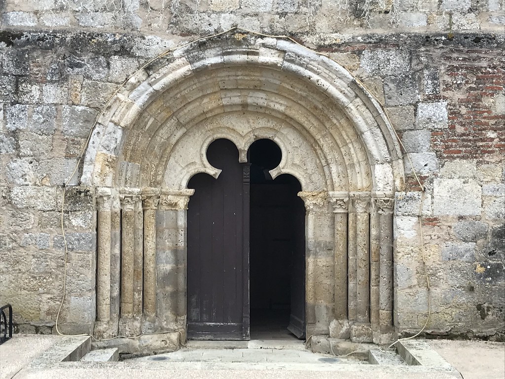
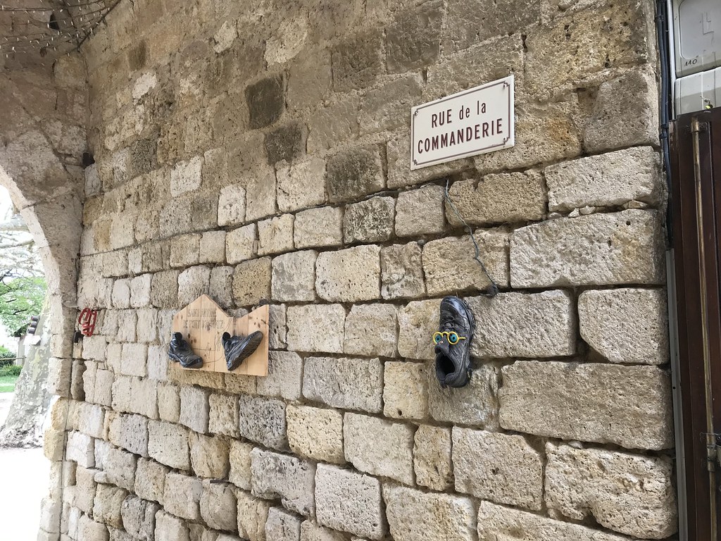
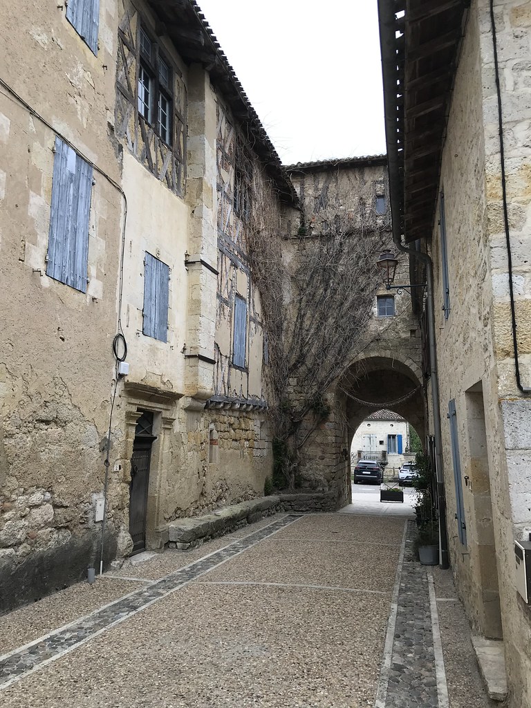
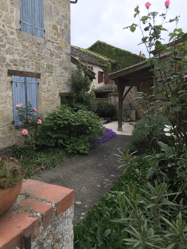
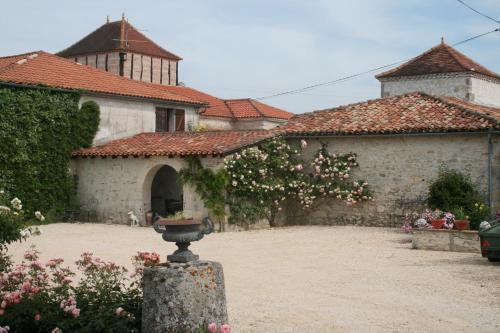
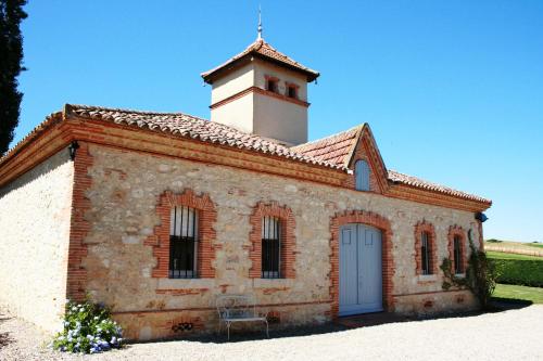
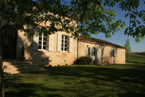
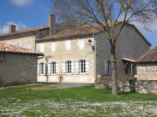
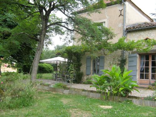
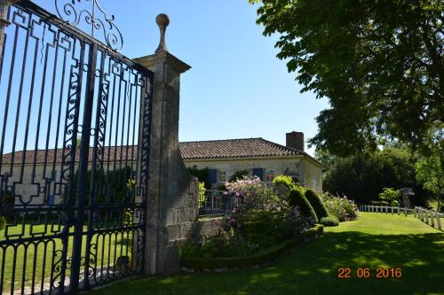
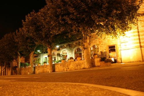
Photos Flamarens
|
See all photos of Flamarens :
Other photos of Flamarens and nearby towns can be found here: photos Flamarens
|
|
Flamarens weather forecast
Find next hours and 7 days weather forecast for Flamarens here : weather Flamarens (with english metrics)
This is the last weather forecast for Flamarens collected by the nearest observation station of Miradoux.
Week Forecast:
The latest weather data for Flamarens were collected Thursday, 18 April 2024 at 17:00 from the nearest observation station of Miradoux.
| Thursday, April 18th |
15°C 6°C
0%
64%
|
Partly cloudy
Temperature Max: 15°C Temperature Min: 6°C
Precipitation Probability: 0%
Percentage of sky occluded by clouds: 64%
Wind speed: 18 km/h South-East
Humidity: 61%° UV Index: 4
Sunrise: 07:08 Sunset: 20:45 |
|
| | Friday, April 19th |
19°C 1°C
0%
1%
|
Clear
Temperature Max: 19°C Temperature Min: 1°C
Precipitation Probability: 0%
Percentage of sky occluded by clouds: 1%
Wind speed: 6 km/h Sout-East
Humidity: 48%° UV Index: 6
Sunrise: 07:06 Sunset: 20:46 |
|
| | Saturday, April 20th |
18°C 5°C
0%
24%
|
Mostly clear
Temperature Max: 18°C Temperature Min: 5°C
Precipitation Probability: 0%
Percentage of sky occluded by clouds: 24%
Wind speed: 12 km/h South
Humidity: 56%° UV Index: 6
Sunrise: 07:04 Sunset: 20:47 |
|
| | Sunday, April 21st |
16°C 3°C
0%
12%
|
Clear
Temperature Max: 16°C Temperature Min: 3°C
Precipitation Probability: 0%
Percentage of sky occluded by clouds: 12%
Wind speed: 13 km/h South
Humidity: 54%° UV Index: 5
Sunrise: 07:03 Sunset: 20:48 |
|
|
Attribution: 
|
|
Other maps, hotels and towns in france
Find another town, zip code, department, region, ...
Quick links Flamarens :
Make a link to this page of Flamarens with the following code :
|
|
|
 French Version : http://www.cartesfrance.fr/carte-france-ville/32131_Flamarens.html