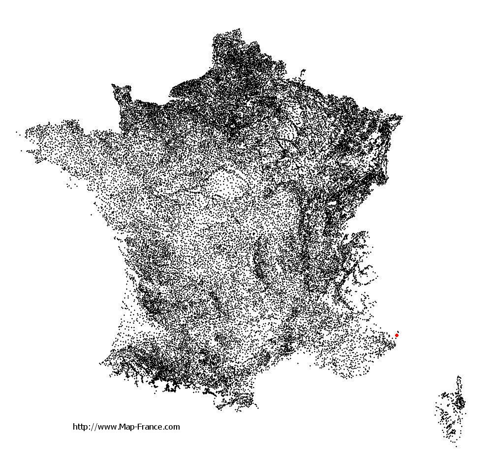
Fontan on the relief France map in Lambert 93 coordinates
|

See the map of Fontan in full screen (1000 x 949)
|
At left, here is the location of Fontan on the relief France map in Lambert 93 coordinates.
Here are the altitudes of Fontan :
- Town hall altitude of Fontan is 424 meters
- Minimum altitude of Fontan is 405 meters
- Maximum altitude of Fontan is 2 447 meters
- Medium altitude of Fontan is 1 426 meters
Here are the altitudes of Nice, prefecture of Alpes-Maritimes department:
- Town hall altitude of Nice is 10 meters
- Minimum altitude of Nice is 0 meters
- Maximum altitude of Nice is 520 meters
- Medium altitude of Nice is 260 meters
Here are the altitudes of the french biggest cities:
Paris : 33 meters
Marseille : 20 meters
Lyon : 237 meters
Toulouse : 146 meters
Nice : 10 meters
Nantes : 20 meters
Strasbourg : 144 meters
Montpellier : 35 meters
Bordeaux : 16 meters
Lille : 20 meters
Rennes : 35 meters
Reims : 83 meters
Click here for the terrain map of Fontan in full screen:
Relief map of Fontan
|
This relief map of Fontan is reusable and modifiable by making a link to this page of the Map-France.com website or by using the given code :
|
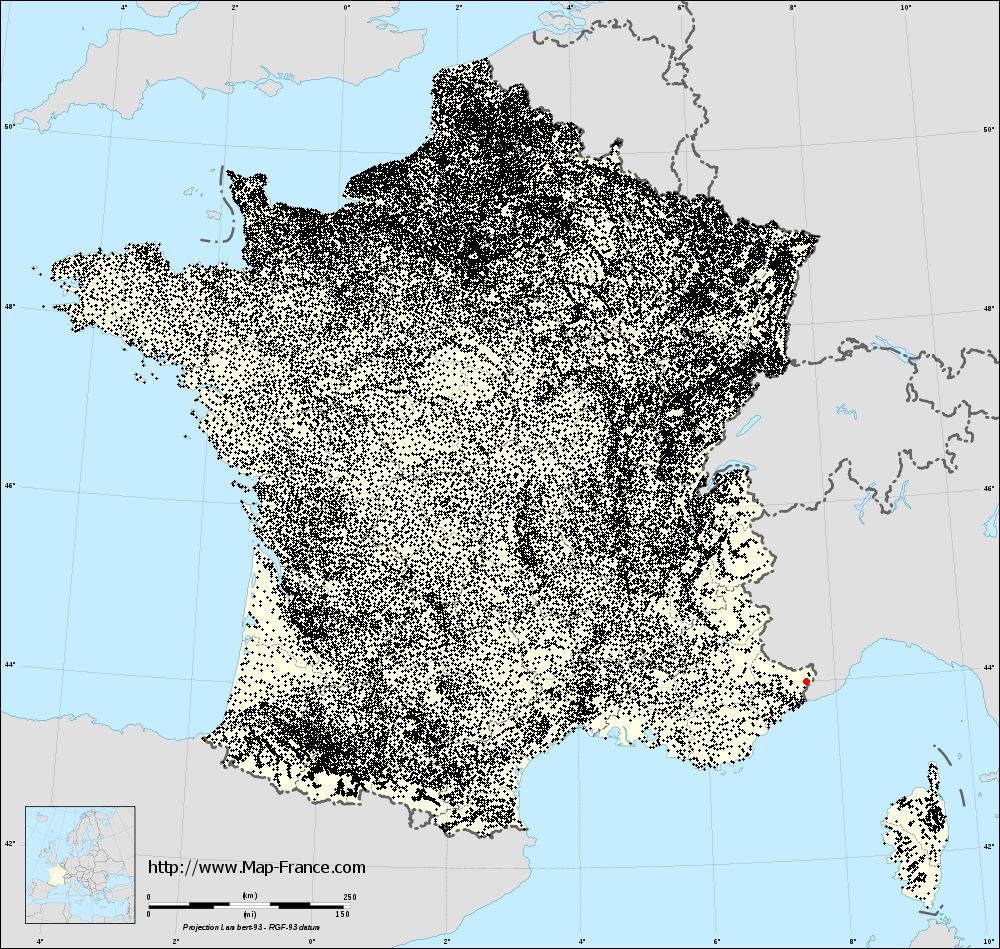
Terrain base map of Fontan
|

See the terrain base map of Fontan in full screen (1000 x 949)
|
Small relief base map of Fontan

|
This base map of Fontan is reusable and modifiable by making a link to this page of the Map-France.com website or by using the given code :
|
Map of Fontan with regions and prefectures
|
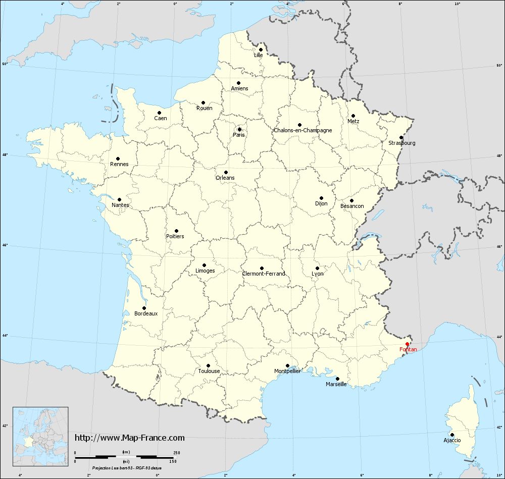
View the map of Fontan in full screen (1000 x 949)
|
You will find the location of Fontan on the map of France of regions in Lambert 93 coordinates. The town of Fontan is located in the department of Alpes-Maritimes of the french region Provence-Alpes-Côte d'Azur.
Geographical sexagesimal coordinates / GPS (WGS84):
Latitude: 44° 00' 14'' North
Longitude: 07° 33' 13'' East
Geographical decimal coordinates :
Latitude: 44.006 degrees (44.006° North)
Longitude: 7.554 degrees (7.554° East)
Lambert 93 coordinates :
X: 10 650 hectometers
Y: 63 333 hectometers
Lambert 2 coordinates :
X: 10 185 hectometers
Y: 19 031 hectometers
Below, the geographical coordinates of Nice, prefecture of the Alpes-Maritimes department:
Geographical sexagesimal coordinates / GPS (WGS84):
Latitude: 43° 42' 07'' North
Longitude: 07° 16' 06'' East
Geographical decimal coordinates :
Latitude: 43.706 degrees (43.706° North)
Longitude: 7.262 degrees (7.262° East)
Lambert 93 coordinates :
X: 10 440 hectometers
Y: 62 985 hectometers
Lambert 2 coordinates :
X: 9 978 hectometers
Y: 18 680 hectometers
|
This map of Fontan is reusable and modifiable by making a link to this page of the Map-France.com website or by using the given code :
|
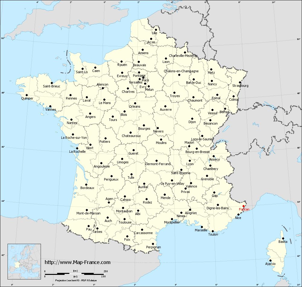
Map of Fontan with departments and prefectures
|
Voir la carte of Fontan en grand format (1000 x 949)
|
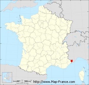
Here is the localization of Fontan on the France map of departments in Lambert 93 coordinates. The city of Fontan is shown on the map by a red point.
The town of Fontan is located in the department of Alpes-Maritimes of the french region Provence-Alpes-Côte d'Azur.
The latitude of Fontan is 44.006 degrees North.
The longitude of Fontan is 7.554 degrees East.
Here the distance between Fontan and the biggest cities of France:
Distances are calculated as the crow flies (orthodromic distance)
Distance between Fontan and Paris : 670.44 kilometers
Distance between Fontan and Marseille : 190.25 kilometers
Distance between Fontan and Lyon : 289.40 kilometers
Distance between Fontan and Toulouse : 491.40 kilometers
Distance between Fontan and Nice : 40.73 kilometers
Distance between Fontan and Nantes : 792.08 kilometers
Distance between Fontan and Strasbourg : 508.89 kilometers
Distance between Fontan and Montpellier : 298.31 kilometers
Distance between Fontan and Bordeaux : 651.40 kilometers
Distance between Fontan and Lille : 809.95 kilometers
Distance between Fontan and Rennes : 844.44 kilometers
Distance between Fontan and Reims : 642.23 kilometers
Clic here to see the map of Fontan in full screen:
Fontan on the map of french departments
|
This administrative map of Fontan is reusable and modifiable by making a link to this page of the Map-France.com website or by using the given code :
|
Administrative base maps of Fontan
|

See the administrative base map of Fontan in full screen (1000 x 949)
|
Small administrative base map of Fontan
|
This base map administrative of Fontan is reusable and modifiable by making a link to this page of the Map-France.com website or by using the given code :
|
 French Version : http://www.cartesfrance.fr