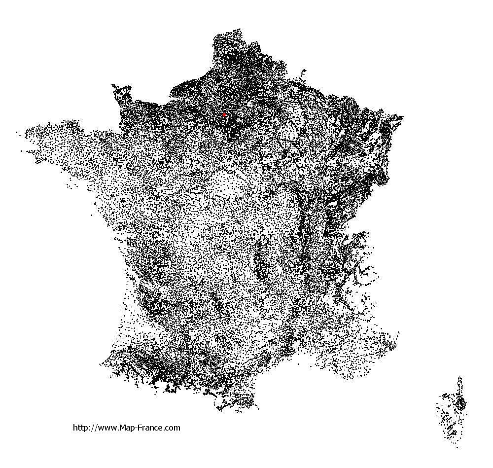
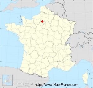
Frémécourt on the relief France map in Lambert 93 coordinates
|
See the map of Frémécourt in full screen (1000 x 949)
|
At left, here is the location of Frémécourt on the relief France map in Lambert 93 coordinates.
Here are the altitudes of Frémécourt :
- Town hall altitude of Frémécourt is 150 meters
- Minimum altitude of Frémécourt is 80 meters
- Maximum altitude of Frémécourt is 168 meters
- Medium altitude of Frémécourt is 124 meters
Here are the altitudes of Pontoise, prefecture of Val-d'Oise department:
- Town hall altitude of Pontoise is 62 meters
- Minimum altitude of Pontoise is 22 meters
- Maximum altitude of Pontoise is 87 meters
- Medium altitude of Pontoise is 55 meters
Here are the altitudes of the french biggest cities:
Paris : 33 meters
Marseille : 20 meters
Lyon : 237 meters
Toulouse : 146 meters
Nice : 10 meters
Nantes : 20 meters
Strasbourg : 144 meters
Montpellier : 35 meters
Bordeaux : 16 meters
Lille : 20 meters
Rennes : 35 meters
Reims : 83 meters
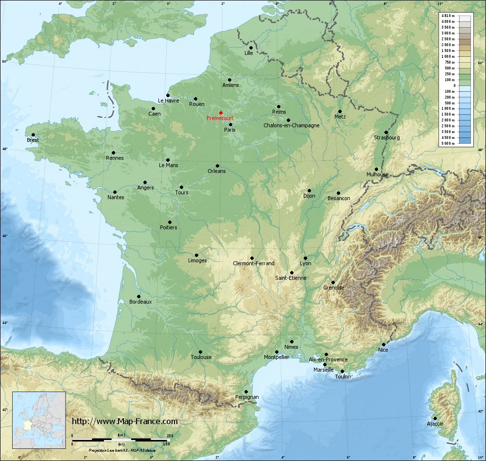
Click here for the terrain map of Frémécourt in full screen:
Relief map of Frémécourt
|
This relief map of Frémécourt is reusable and modifiable by making a link to this page of the Map-France.com website or by using the given code :
|
Terrain base map of Frémécourt
|

See the terrain base map of Frémécourt in full screen (1000 x 949)
|
Small relief base map of Frémécourt

|
This base map of Frémécourt is reusable and modifiable by making a link to this page of the Map-France.com website or by using the given code :
|
Map of Frémécourt with regions and prefectures
|
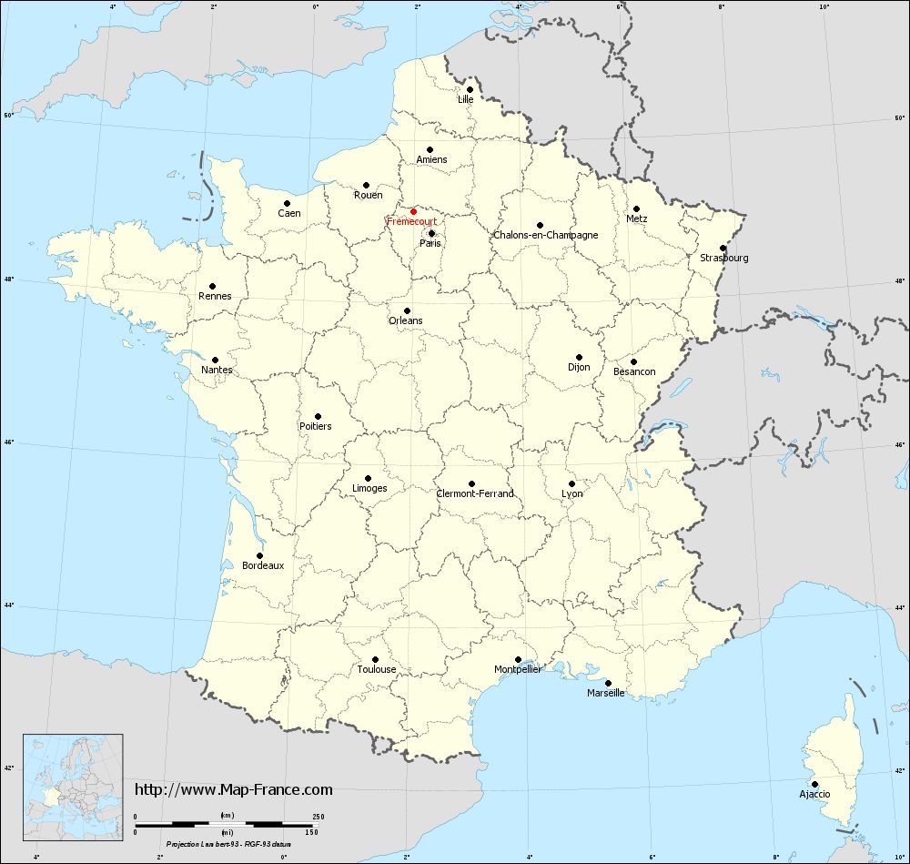
View the map of Frémécourt in full screen (1000 x 949)
|
You will find the location of Frémécourt on the map of France of regions in Lambert 93 coordinates. The town of Frémécourt is located in the department of Val-d'Oise of the french region Île-de-France.
Geographical sexagesimal coordinates / GPS (WGS84):
Latitude: 49° 07' 13'' North
Longitude: 02° 00' 02'' East
Geographical decimal coordinates :
Latitude: 49.119 degrees (49.119° North)
Longitude: 2.001 degrees (2.001° East)
Lambert 93 coordinates :
X: 6 270 hectometers
Y: 68 916 hectometers
Lambert 2 coordinates :
X: 5 755 hectometers
Y: 24 581 hectometers
Below, the geographical coordinates of Pontoise, prefecture of the Val-d'Oise department:
Geographical sexagesimal coordinates / GPS (WGS84):
Latitude: 49° 03' 03'' North
Longitude: 02° 06' 03'' East
Geographical decimal coordinates :
Latitude: 49.052 degrees (49.052° North)
Longitude: 2.094 degrees (2.094° East)
Lambert 93 coordinates :
X: 6 343 hectometers
Y: 68 838 hectometers
Lambert 2 coordinates :
X: 5 828 hectometers
Y: 24 503 hectometers
|
This map of Frémécourt is reusable and modifiable by making a link to this page of the Map-France.com website or by using the given code :
|
Map of Frémécourt with departments and prefectures
|
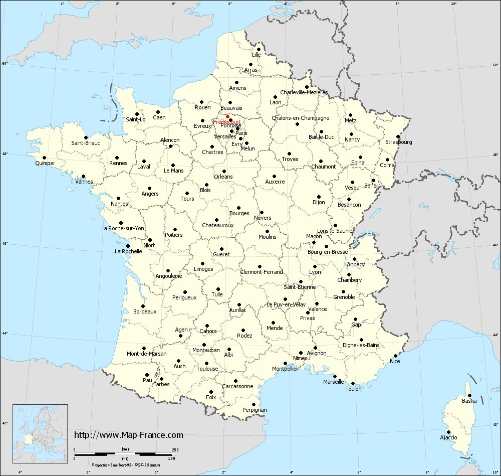
Voir la carte of Frémécourt en grand format (1000 x 949)
|
Here is the localization of Frémécourt on the France map of departments in Lambert 93 coordinates. The city of Frémécourt is shown on the map by a red point.
The town of Frémécourt is located in the department of Val-d'Oise of the french region Île-de-France.
The latitude of Frémécourt is 49.119 degrees North.
The longitude of Frémécourt is 2.001 degrees East.
Here the distance between Frémécourt and the biggest cities of France:
Distances are calculated as the crow flies (orthodromic distance)
Distance between Frémécourt and Paris : 38.11 kilometers
Distance between Frémécourt and Marseille : 697.39 kilometers
Distance between Frémécourt and Lyon : 429.61 kilometers
Distance between Frémécourt and Toulouse : 614.64 kilometers
Distance between Frémécourt and Nice : 723.54 kilometers
Distance between Frémécourt and Nantes : 337.51 kilometers
Distance between Frémécourt and Strasbourg : 424.77 kilometers
Distance between Frémécourt and Montpellier : 628.76 kilometers
Distance between Frémécourt and Bordeaux : 513.57 kilometers
Distance between Frémécourt and Lille : 183.56 kilometers
Distance between Frémécourt and Rennes : 292.81 kilometers
Distance between Frémécourt and Reims : 148.21 kilometers
Clic here to see the map of Frémécourt in full screen:
Frémécourt on the map of french departments
|
This administrative map of Frémécourt is reusable and modifiable by making a link to this page of the Map-France.com website or by using the given code :
|
Administrative base maps of Frémécourt
|

See the administrative base map of Frémécourt in full screen (1000 x 949)
|
Small administrative base map of Frémécourt
|
This base map administrative of Frémécourt is reusable and modifiable by making a link to this page of the Map-France.com website or by using the given code :
|
 French Version : http://www.cartesfrance.fr