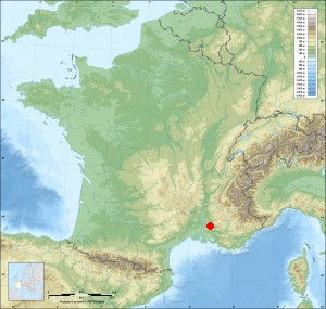
L'Isle-sur-la-Sorgue on the relief France map in Lambert 93 coordinates
|

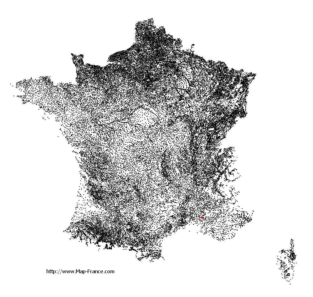
See the map of L'Isle-sur-la-Sorgue in full screen (1000 x 949)
|
At left, here is the location of L'Isle-sur-la-Sorgue on the relief France map in Lambert 93 coordinates.
Here are the altitudes of L'Isle-sur-la-Sorgue :
- Town hall altitude of L'Isle-sur-la-Sorgue is 55 meters
- Minimum altitude of L'Isle-sur-la-Sorgue is 52 meters
- Maximum altitude of L'Isle-sur-la-Sorgue is 246 meters
- Medium altitude of L'Isle-sur-la-Sorgue is 149 meters
Here are the altitudes of Avignon, prefecture of Vaucluse department:
- Town hall altitude of Avignon is 19 meters
- Minimum altitude of Avignon is 10 meters
- Maximum altitude of Avignon is 122 meters
- Medium altitude of Avignon is 66 meters
Here are the altitudes of the french biggest cities:
Paris : 33 meters
Marseille : 20 meters
Lyon : 237 meters
Toulouse : 146 meters
Nice : 10 meters
Nantes : 20 meters
Strasbourg : 144 meters
Montpellier : 35 meters
Bordeaux : 16 meters
Lille : 20 meters
Rennes : 35 meters
Reims : 83 meters
Click here for the terrain map of L'Isle-sur-la-Sorgue in full screen:
Relief map of L%27Isle-sur-la-Sorgue
|
This relief map of L'Isle-sur-la-Sorgue is reusable and modifiable by making a link to this page of the Map-France.com website or by using the given code :
|
Terrain base map of L'Isle-sur-la-Sorgue
|

See the terrain base map of L'Isle-sur-la-Sorgue in full screen (1000 x 949)
|
Small relief base map of L'Isle-sur-la-Sorgue
|
This base map of L'Isle-sur-la-Sorgue is reusable and modifiable by making a link to this page of the Map-France.com website or by using the given code :
|
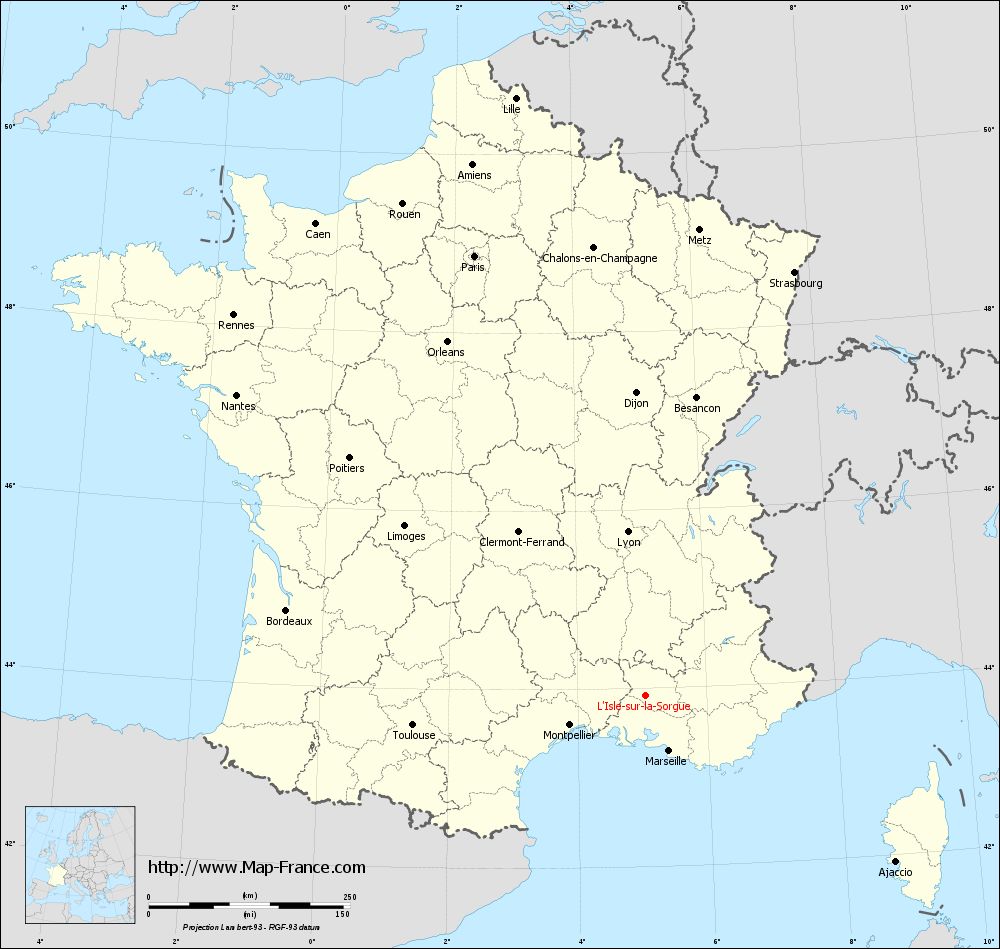
Map of L'Isle-sur-la-Sorgue with regions and prefectures
|
View the map of L'Isle-sur-la-Sorgue in full screen (1000 x 949)
|
You will find the location of L'Isle-sur-la-Sorgue on the map of France of regions in Lambert 93 coordinates. The city of L'Isle-sur-la-Sorgue is located in the department of Vaucluse of the french region Provence-Alpes-Côte d'Azur.
Geographical sexagesimal coordinates / GPS (WGS84):
Latitude: 43° 55' 10'' North
Longitude: 05° 03' 05'' East
Geographical decimal coordinates :
Latitude: 43.922 degrees (43.922° North)
Longitude: 5.051 degrees (5.051° East)
Lambert 93 coordinates :
X: 8 647 hectometers
Y: 63 155 hectometers
Lambert 2 coordinates :
X: 8 182 hectometers
Y: 18 835 hectometers
Below, the geographical coordinates of Avignon, prefecture of the Vaucluse department:
Geographical sexagesimal coordinates / GPS (WGS84):
Latitude: 43° 56' 55'' North
Longitude: 04° 48' 30'' East
Geographical decimal coordinates :
Latitude: 43.946 degrees (43.946° North)
Longitude: 4.81 degrees (4.81° East)
Lambert 93 coordinates :
X: 8 452 hectometers
Y: 63 183 hectometers
Lambert 2 coordinates :
X: 7 986 hectometers
Y: 18 861 hectometers
|
This map of L'Isle-sur-la-Sorgue is reusable and modifiable by making a link to this page of the Map-France.com website or by using the given code :
|
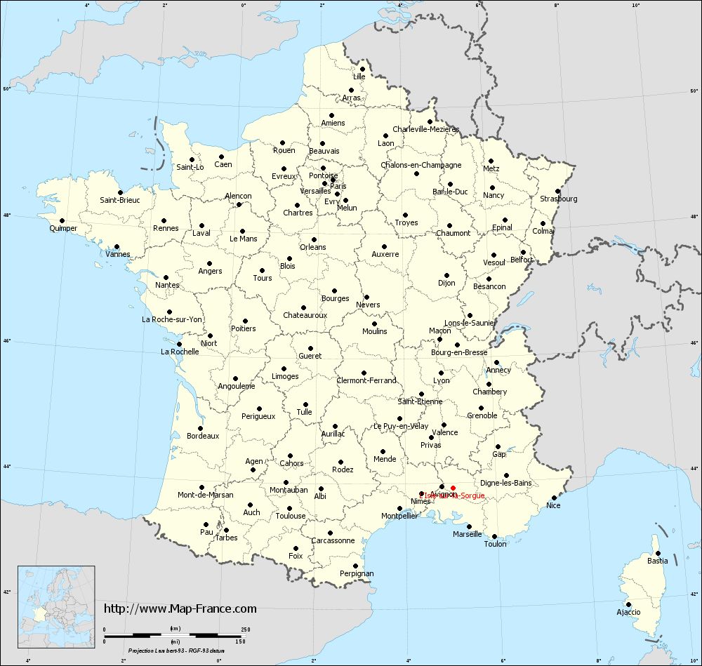
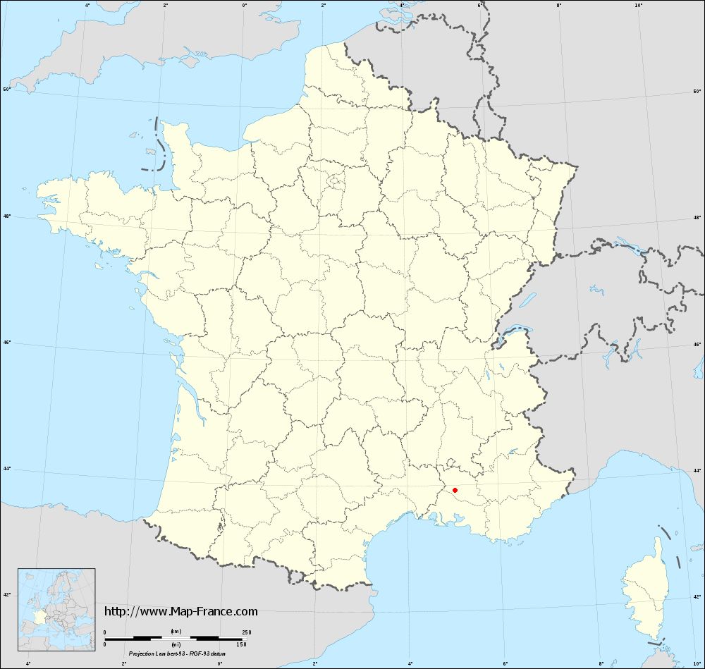
Map of L'Isle-sur-la-Sorgue with departments and prefectures
|
Voir la carte of L'Isle-sur-la-Sorgue en grand format (1000 x 949)
|
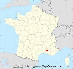
Here is the localization of L'Isle-sur-la-Sorgue on the France map of departments in Lambert 93 coordinates. The city of L'Isle-sur-la-Sorgue is shown on the map by a red point.
The city of L'Isle-sur-la-Sorgue is located in the department of Vaucluse of the french region Provence-Alpes-Côte d'Azur.
The latitude of L'Isle-sur-la-Sorgue is 43.922 degrees North.
The longitude of L'Isle-sur-la-Sorgue is 5.051 degrees East.
Here the distance between L'Isle-sur-la-Sorgue and the biggest cities of France:
Distances are calculated as the crow flies (orthodromic distance)
Distance between L'Isle-sur-la-Sorgue and Paris : 586.50 kilometers
Distance between L'Isle-sur-la-Sorgue and Marseille : 74.82 kilometers
Distance between L'Isle-sur-la-Sorgue and Lyon : 204.90 kilometers
Distance between L'Isle-sur-la-Sorgue and Toulouse : 291.13 kilometers
Distance between L'Isle-sur-la-Sorgue and Nice : 178.88 kilometers
Distance between L'Isle-sur-la-Sorgue and Nantes : 630.61 kilometers
Distance between L'Isle-sur-la-Sorgue and Strasbourg : 558.06 kilometers
Distance between L'Isle-sur-la-Sorgue and Montpellier : 100.63 kilometers
Distance between L'Isle-sur-la-Sorgue and Bordeaux : 458.22 kilometers
Distance between L'Isle-sur-la-Sorgue and Lille : 760.21 kilometers
Distance between L'Isle-sur-la-Sorgue and Rennes : 696.71 kilometers
Distance between L'Isle-sur-la-Sorgue and Reims : 597.95 kilometers
Clic here to see the map of L'Isle-sur-la-Sorgue in full screen:
L%27Isle-sur-la-Sorgue on the map of french departments
|
This administrative map of L'Isle-sur-la-Sorgue is reusable and modifiable by making a link to this page of the Map-France.com website or by using the given code :
|
Administrative base maps of L'Isle-sur-la-Sorgue
|
See the administrative base map of L'Isle-sur-la-Sorgue in full screen (1000 x 949)
|
Small administrative base map of L'Isle-sur-la-Sorgue
|
This base map administrative of L'Isle-sur-la-Sorgue is reusable and modifiable by making a link to this page of the Map-France.com website or by using the given code :
|
 French Version : http://www.cartesfrance.fr