|
The village of La Ferté is a small village located east of France. The town of La Ferté is located in the department of Jura of the french region Franche-Comté. The town of La Ferté is located in the township of Arbois part of the district of Lons-le-Saunier. The area code for La Ferté is 39223 (also known as code INSEE), and the La Ferté zip code is 39600.
Geography and map of La Ferté :
The altitude of the city hall of La Ferté is approximately 240 meters. The La Ferté surface is 11.75 km ². The latitude and longitude of La Ferté are 46.941 degrees North and 5.655 degrees East.
Nearby cities and towns of La Ferté are :
Mathenay (39600) at 2.01 km, Molamboz (39600) at 2.15 km, Vadans (39600) at 3.54 km, Abergement-le-Grand (39600) at 3.63 km, Aumont (39800) at 4.17 km, Vaudrey (39380) at 4.74 km, Montholier (39800) at 5.00 km, Saint-Cyr-Montmalin (39600) at 5.39 km.
(The distances to these nearby towns of La Ferté are calculated as the crow flies)
Population and housing of La Ferté :
The population of La Ferté was 191 in 1999, 187 in 2006 and 187 in 2007. The population density of La Ferté is 15.91 inhabitants per km². The number of housing of La Ferté was 89 in 2007. These homes of La Ferté consist of 74 main residences, 7 second or occasional homes and 8 vacant homes. |
|
|
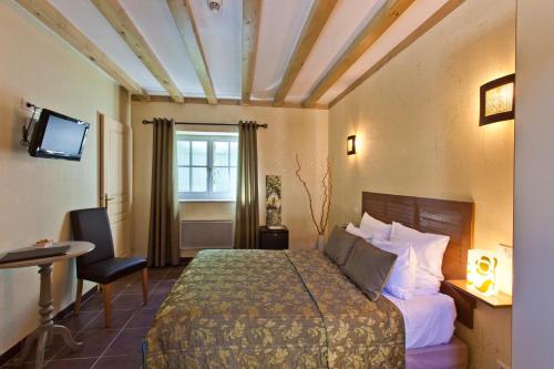
Hotel La Ferté
|
|
|
Book now ! Best Price Guaranteed, no booking fees, pay at the hotel with our partner Booking.com, leader in online hotel reservation.
Find all hotels of La Ferté : Hotel La Ferté
| |
|
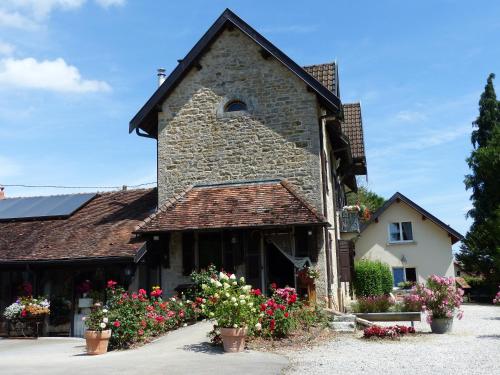
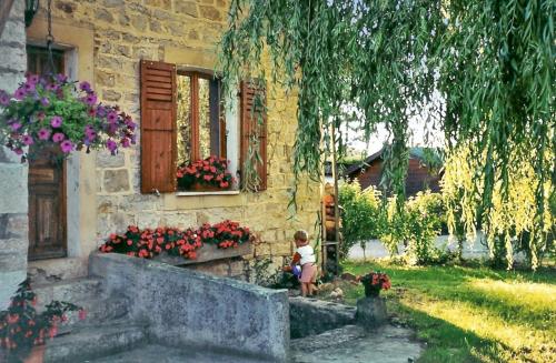
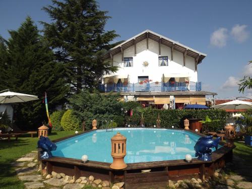
Bed and Breakfast : La Source D'Argammet
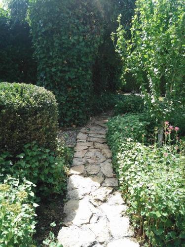
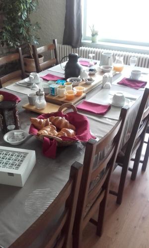
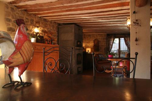
Offering a garden, La Source D'Argammet offers accommodation in La Ferté. Free WiFi is offered. A continental breakfast is served daily at the property. The bed and breakfast ...
Rate : from 75.00 €
to 180.00 €
Address : 10 Route d'Aumont 39600 La Ferté
Distance Bed and Breakfast - La Ferté : 0.38 km
|
|
|
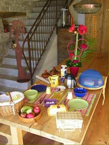
Guest accommodation : Gîte De La Souris Verte

Situated in Molamboz in the Franche-Comté region, Gîte De La Souris Verte features a garden. Featuring free WiFi, the property also has barbecue facilities. This holiday home h...
Price : from 55.00 €
Contact : 4 Rue Du Four 39600 Molamboz
Distance Guest accommodation - La Ferté : 2.41 km
|
|
|
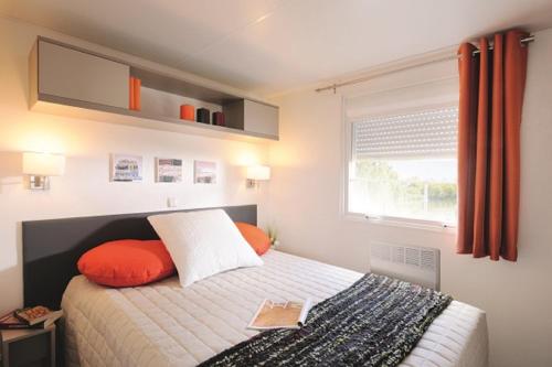
Guest accommodation : Le Repos des Moniers

Set in Mont-sous-Vaudrey, Le Repos des Moniers offers free WiFi. All rooms boast a flat-screen TV with cable channels and a private bathroom. Guests can enjoy garden views. At ...
Prices : from 79.00 €
to 115.00 €
Contact : 35, rue Leon Guignard 39380 Mont-sous-Vaudrey
Distance Guest accommodation - La Ferté : 6.03 km
|
|
|
Bed and Breakfast : Chambre d'hôtes l'Etoile du Berger
This renovated 19th-century farmhouse is located in Grozon, on the Jura Wine Route, 16 km from the UNESCO World Heritage Site of Salins-les-Bains. It features a sauna and homema...
Rate : from 74.00 €
Contact : 14, rue du Bourg Bas, Grozon 39800 Arbois
Distance Bed and Breakfast - La Ferté : 6.43 km
|
|
|
Guest accommodation : Gîte Montmillon
Boasting barbecue facilities, Gîte Montmillon provides accommodation in Chamblay with free WiFi and garden views. Guests staying at this holiday home have access to a fully equi...
Address : 26 Rue du Bois 39380 Chamblay
Distance Guest accommodation - La Ferté : 6.72 km
|
|
|
Guest accommodation : Camping les 3 Ours
Located in Montbarrey, Camping les 3 Ours offers accommodation with a terrace. Free WiFi is available. The units have a fully equipped kitchenette with dining area, a microwave...
Contact : 28 Rue du Pont 39380 Montbarrey
Distance Guest accommodation - La Ferté : 8.08 km
|
|
|
Bed and Breakfast : Che'Val d'Amour
Che'Val d'Amour is located in Écleux, a 2-minute drive from the city centre. You can play pétanque, table tennis or use the board games. The rooms at Che'Val d'Amour have a pri...
Rate : from 40.00 €
to 120.00 €
Contact : 8 Rue du Chateau d'Eau 39600 Écleux
Distance Bed and Breakfast - La Ferté : 8.60 km
|
|
|
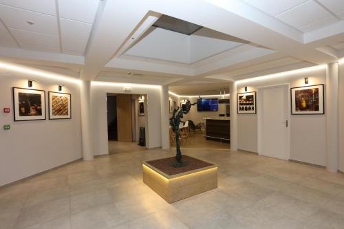
Hotel : Hotel des Cépages
In the heart of the vineyard of Jura, the Hôtel des Cépages welcomes you for a stopover, for a touristic journey or for seminars in Franche Comté. Enjoy the variety of the brea...
Price : from 79.00 €
to 106.00 €
Contact : Arbois D53 - 5 Route de Villette Les Arbois 39600 Arbois
Distance Hotel - La Ferté : 9.23 km
|
|
|
Hotel : Hotel-restaurant Les Caudalies
Set in a 19th-century mansion, Sarl Les Caudalies is located in Arbois, just 1 km from the Château Pécauld. It offers a garden, an on-site restaurant and elegantly decorated gue...
Prices : from 69.00 €
to 119.00 €
Address : 20 Avenue Pasteur 39600 Arbois
Distance Hotel - La Ferté : 9.48 km
|
|
|
Bed and Breakfast : Chambres d'hotes La Maison Bleue
This guest house is situated in Souvans in the Franche-Comté region. It is set within a garden and offers free Wi-Fi, a wellness centre and an outdoor swimming pool lined with a...
Rate : from 64.60 €
to 118.00 €
Contact : 38, rue Adolphe Brune 39380 Souvans
Distance Bed and Breakfast - La Ferté : 9.56 km
|
|
Find another hotel near La Ferté : La Ferté hotels list
|
Map of La Ferté
|
|
Map of La Ferté :
At right you can find the localization of La Ferté on the map of France. Below, this is the satellite map of La Ferté. A road map, and maps templates of La Ferté are available here : "road map of La Ferté". This map show La Ferté seen by the satellite of Google Map. To see the streets of La Ferté or move on another zone, use the buttons "zoom" and "map" on top of this dynamic map.
Search on the map of La Ferté :
To search hotels, housings, tourist information office, administrations or other services, use the Google search integrated to the map on the following page : "map La Ferté".
Hotels of La Ferté are listed on the map with the following icons: 
The map of La Ferté is centred in the following coordinates :
|

|
|
|
|
Print the map of La Ferté

Print the map of La Ferté : map of La Ferté
|
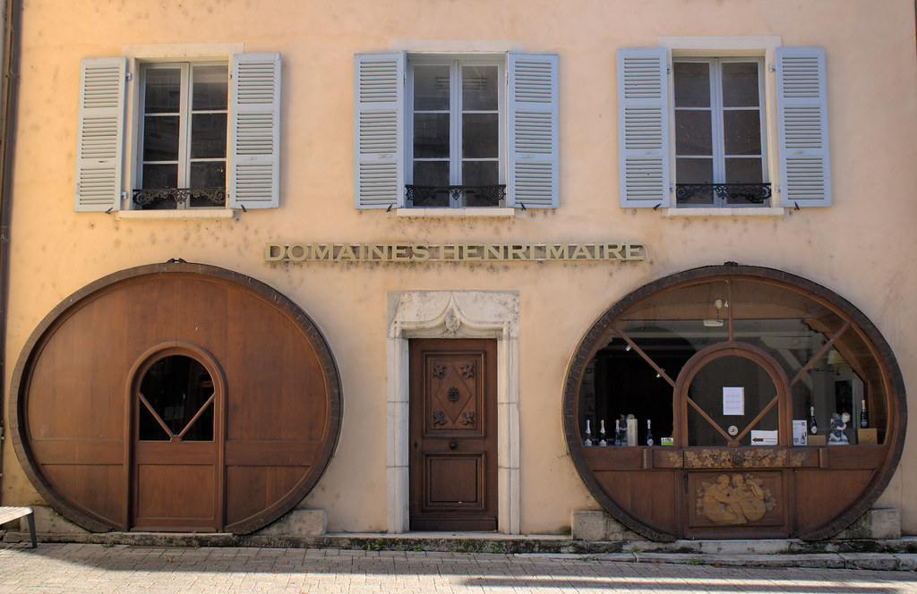
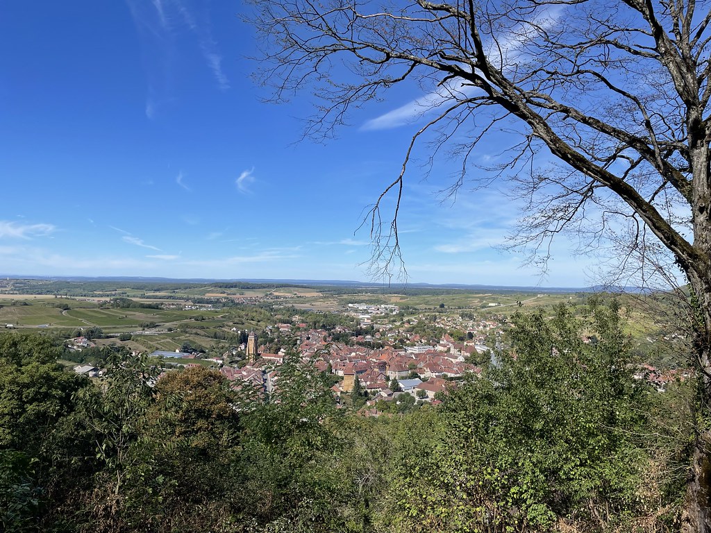
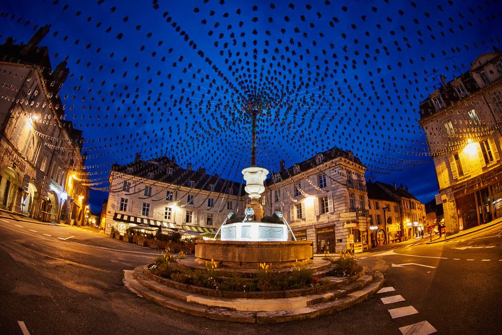
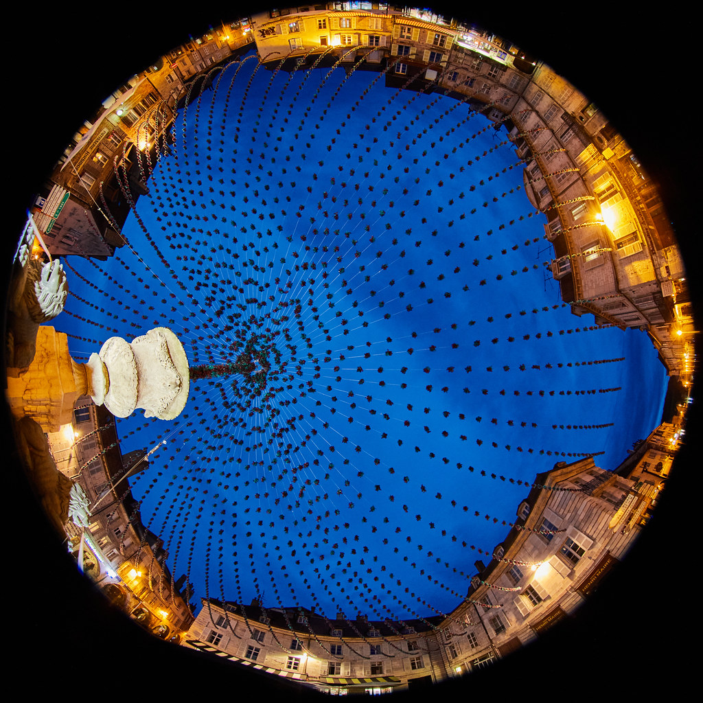
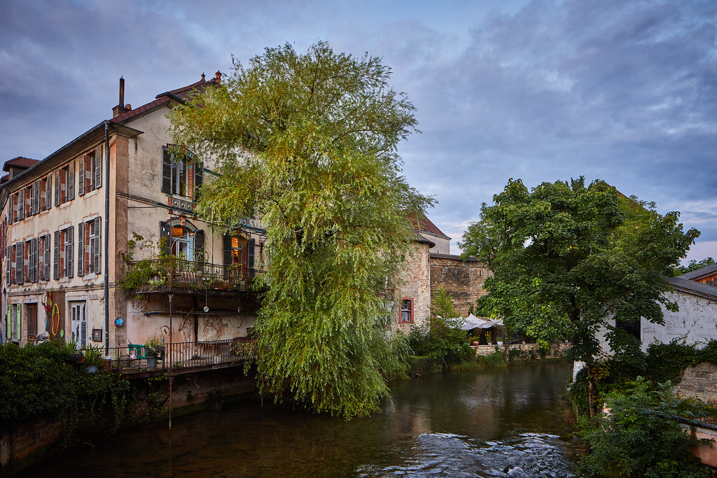
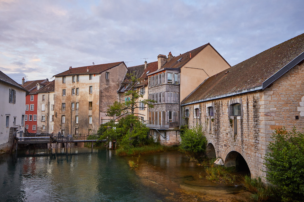
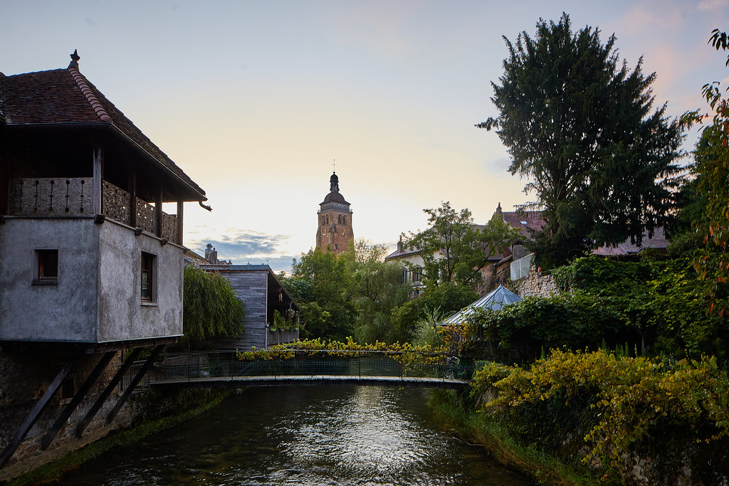
Photos La Ferté
|
See all photos of La Ferté :
Other photos of La Ferté and nearby towns can be found here: photos La Ferté
|
|
La Ferté weather forecast
Find next hours and 7 days weather forecast for La Ferté here : weather La Ferté (with english metrics)
This is the last weather forecast for La Ferté collected by the nearest observation station of Arbois.
Week Forecast:
The latest weather data for La Ferté were collected Tuesday, 23 April 2024 at 17:00 from the nearest observation station of Arbois.
| Tuesday, April 23rd |
9°C -0°C
21%
70%
|
Mostly cloudy
Temperature Max: 9°C Temperature Min: -0°C
Precipitation Probability: 21% (Rain)
Percentage of sky occluded by clouds: 70%
Wind speed: 17 km/h South
Humidity: 63%° UV Index: 3
Sunrise: 06:34 Sunset: 20:37 |
|
| | Wednesday, April 24th |
7°C 0°C
40%
87%
|
Drizzle
Temperature Max: 7°C Temperature Min: 0°C
Precipitation Probability: 40% (Rain)
Percentage of sky occluded by clouds: 87%
Wind speed: 8 km/h East
Humidity: 75%° UV Index: 3
Sunrise: 06:32 Sunset: 20:38 |
|
| | Thursday, April 25th |
9°C 1°C
18%
69%
|
Mostly cloudy
Temperature Max: 9°C Temperature Min: 1°C
Precipitation Probability: 18% (Rain)
Percentage of sky occluded by clouds: 69%
Wind speed: 7 km/h North-East
Humidity: 68%° UV Index: 3
Sunrise: 06:31 Sunset: 20:39 |
|
| | Friday, April 26th |
14°C 2°C
21%
70%
|
Mostly cloudy
Temperature Max: 14°C Temperature Min: 2°C
Precipitation Probability: 21% (Rain)
Percentage of sky occluded by clouds: 70%
Wind speed: 11 km/h North-East
Humidity: 62%° UV Index: 3
Sunrise: 06:29 Sunset: 20:41 |
|
|
Attribution: 
|
|
Other maps, hotels and towns in france
Find another town, zip code, department, region, ...
Quick links La Ferté :
Make a link to this page of La Ferté with the following code :
|
|
|
 French Version : http://www.cartesfrance.fr/carte-france-ville/39223_La Ferte.html