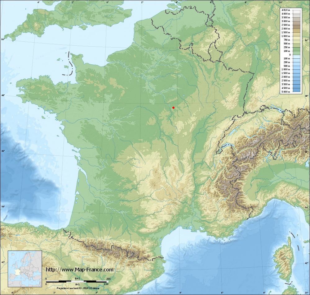
La Chapelle-Vaupelteigne on the relief France map in Lambert 93 coordinates
|

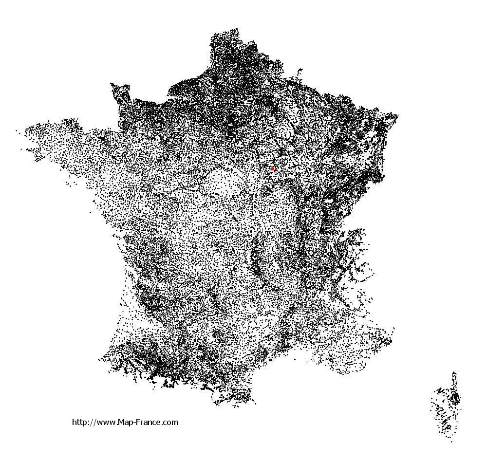
See the map of La Chapelle-Vaupelteigne in full screen (1000 x 949)
|
At left, here is the location of La Chapelle-Vaupelteigne on the relief France map in Lambert 93 coordinates.
Here are the altitudes of La Chapelle-Vaupelteigne :
- Town hall altitude of La Chapelle-Vaupelteigne is 130 meters
- Minimum altitude of La Chapelle-Vaupelteigne is 122 meters
- Maximum altitude of La Chapelle-Vaupelteigne is 252 meters
- Medium altitude of La Chapelle-Vaupelteigne is 187 meters
Here are the altitudes of Auxerre, prefecture of Yonne department:
- Town hall altitude of Auxerre is 120 meters
- Minimum altitude of Auxerre is 93 meters
- Maximum altitude of Auxerre is 217 meters
- Medium altitude of Auxerre is 155 meters
Here are the altitudes of the french biggest cities:
Paris : 33 meters
Marseille : 20 meters
Lyon : 237 meters
Toulouse : 146 meters
Nice : 10 meters
Nantes : 20 meters
Strasbourg : 144 meters
Montpellier : 35 meters
Bordeaux : 16 meters
Lille : 20 meters
Rennes : 35 meters
Reims : 83 meters
Click here for the terrain map of La Chapelle-Vaupelteigne in full screen:
Relief map of La Chapelle-Vaupelteigne
|
This relief map of La Chapelle-Vaupelteigne is reusable and modifiable by making a link to this page of the Map-France.com website or by using the given code :
|
Terrain base map of La Chapelle-Vaupelteigne
|
See the terrain base map of La Chapelle-Vaupelteigne in full screen (1000 x 949)
|
Small relief base map of La Chapelle-Vaupelteigne

|
This base map of La Chapelle-Vaupelteigne is reusable and modifiable by making a link to this page of the Map-France.com website or by using the given code :
|
Map of La Chapelle-Vaupelteigne with regions and prefectures
|
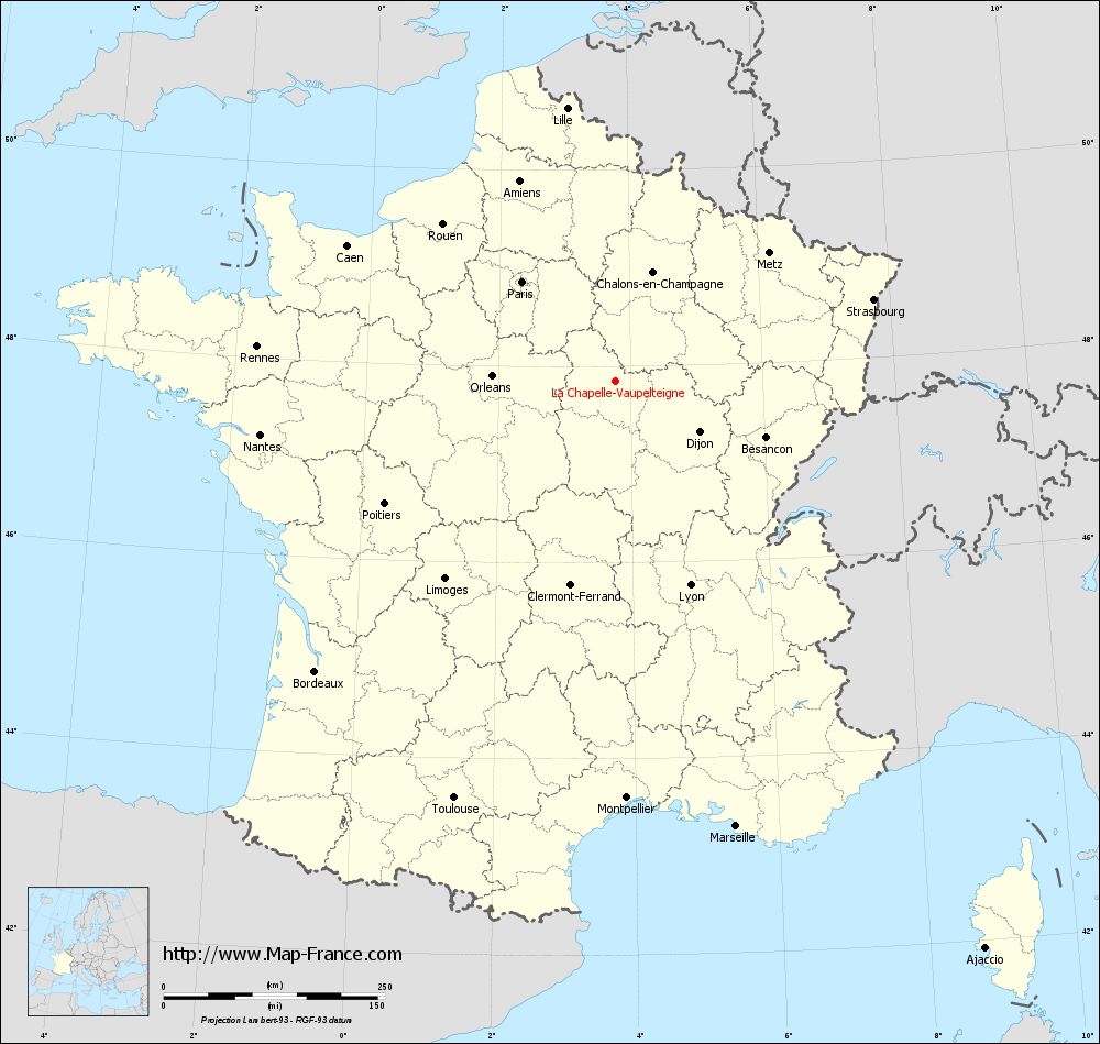
View the map of La Chapelle-Vaupelteigne in full screen (1000 x 949)
|
You will find the location of La Chapelle-Vaupelteigne on the map of France of regions in Lambert 93 coordinates. The town of La Chapelle-Vaupelteigne is located in the department of Yonne of the french region Bourgogne.
Geographical sexagesimal coordinates / GPS (WGS84):
Latitude: 47° 50' 45'' North
Longitude: 03° 45' 56'' East
Geographical decimal coordinates :
Latitude: 47.846 degrees (47.846° North)
Longitude: 3.765 degrees (3.765° East)
Lambert 93 coordinates :
X: 7 573 hectometers
Y: 67 498 hectometers
Lambert 2 coordinates :
X: 7 070 hectometers
Y: 23 172 hectometers
Below, the geographical coordinates of Auxerre, prefecture of the Yonne department:
Geographical sexagesimal coordinates / GPS (WGS84):
Latitude: 47° 47' 51'' North
Longitude: 03° 34' 01'' East
Geographical decimal coordinates :
Latitude: 47.798 degrees (47.798° North)
Longitude: 3.571 degrees (3.571° East)
Lambert 93 coordinates :
X: 7 424 hectometers
Y: 67 443 hectometers
Lambert 2 coordinates :
X: 6 922 hectometers
Y: 23 116 hectometers
|
This map of La Chapelle-Vaupelteigne is reusable and modifiable by making a link to this page of the Map-France.com website or by using the given code :
|
Map of La Chapelle-Vaupelteigne with departments and prefectures
|
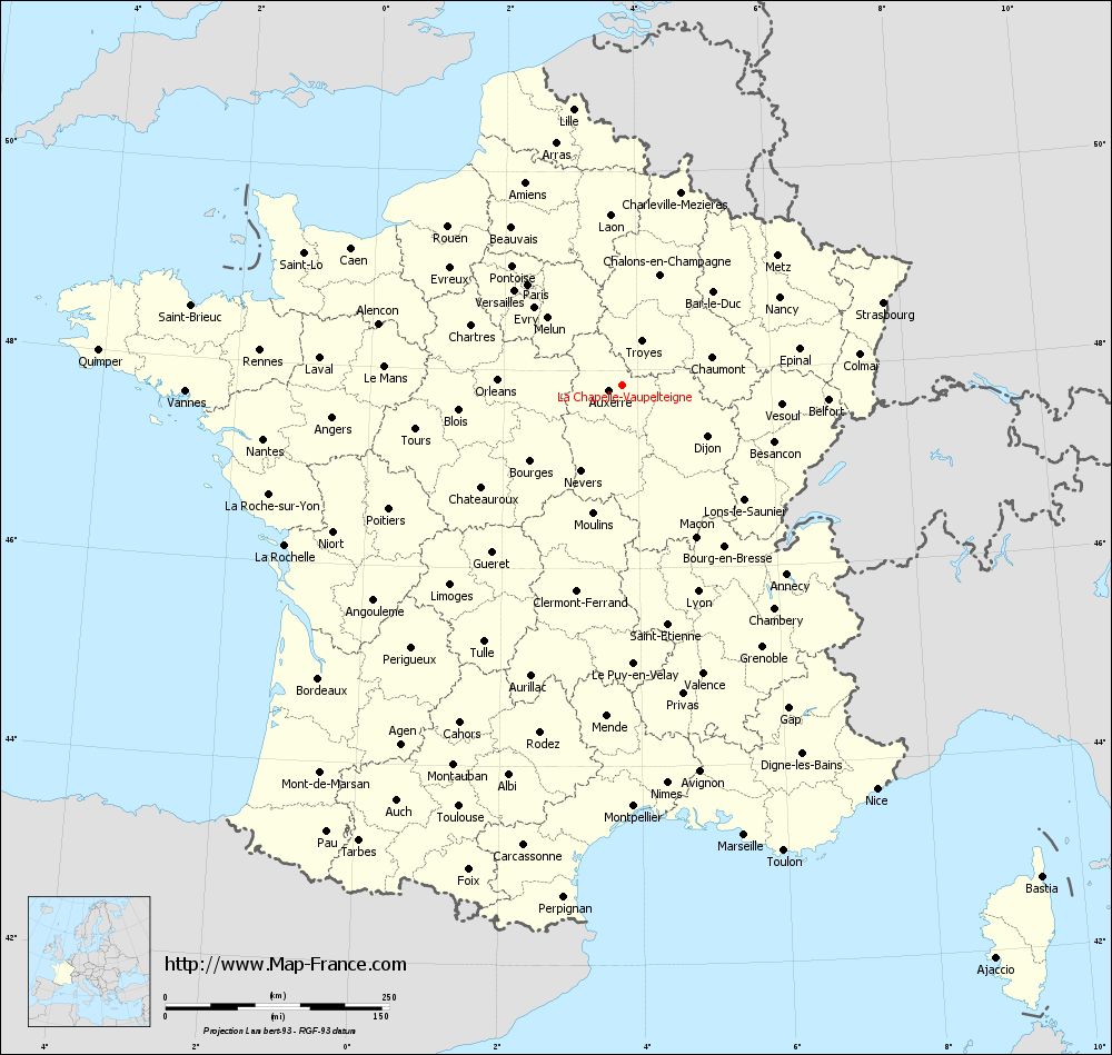
Voir la carte of La Chapelle-Vaupelteigne en grand format (1000 x 949)
|
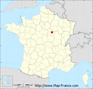
Here is the localization of La Chapelle-Vaupelteigne on the France map of departments in Lambert 93 coordinates. The city of La Chapelle-Vaupelteigne is shown on the map by a red point.
The town of La Chapelle-Vaupelteigne is located in the department of Yonne of the french region Bourgogne.
The latitude of La Chapelle-Vaupelteigne is 47.846 degrees North.
The longitude of La Chapelle-Vaupelteigne is 3.765 degrees East.
Here the distance between La Chapelle-Vaupelteigne and the biggest cities of France:
Distances are calculated as the crow flies (orthodromic distance)
Distance between La Chapelle-Vaupelteigne and Paris : 153.95 kilometers
Distance between La Chapelle-Vaupelteigne and Marseille : 521.03 kilometers
Distance between La Chapelle-Vaupelteigne and Lyon : 245.60 kilometers
Distance between La Chapelle-Vaupelteigne and Toulouse : 504.66 kilometers
Distance between La Chapelle-Vaupelteigne and Nice : 533.69 kilometers
Distance between La Chapelle-Vaupelteigne and Nantes : 404.94 kilometers
Distance between La Chapelle-Vaupelteigne and Strasbourg : 306.61 kilometers
Distance between La Chapelle-Vaupelteigne and Montpellier : 470.80 kilometers
Distance between La Chapelle-Vaupelteigne and Bordeaux : 471.12 kilometers
Distance between La Chapelle-Vaupelteigne and Lille : 313.53 kilometers
Distance between La Chapelle-Vaupelteigne and Rennes : 405.97 kilometers
Distance between La Chapelle-Vaupelteigne and Reims : 158.15 kilometers
Clic here to see the map of La Chapelle-Vaupelteigne in full screen:
La Chapelle-Vaupelteigne on the map of french departments
|
This administrative map of La Chapelle-Vaupelteigne is reusable and modifiable by making a link to this page of the Map-France.com website or by using the given code :
|
Administrative base maps of La Chapelle-Vaupelteigne
|

See the administrative base map of La Chapelle-Vaupelteigne in full screen (1000 x 949)
|
Small administrative base map of La Chapelle-Vaupelteigne
|
This base map administrative of La Chapelle-Vaupelteigne is reusable and modifiable by making a link to this page of the Map-France.com website or by using the given code :
|
 French Version : http://www.cartesfrance.fr