|
The village of Laigné is a small village located north west of France. The town of Laigné is located in the department of Mayenne of the french region Pays de la Loire. The town of Laigné is located in the township of Château-Gontier-Ouest part of the district of Château-Gontier. The area code for Laigné is 53124 (also known as code INSEE), and the Laigné zip code is 53200.
Geography and map of Laigné :
The altitude of the city hall of Laigné is approximately 70 meters. The Laigné surface is 21.54 km ². The latitude and longitude of Laigné are 47.843 degrees North and 0.819 degrees West.
Nearby cities and towns of Laigné are :
Marigné-Peuton (53200) at 2.99 km, Ampoigné (53200) at 3.54 km, Peuton (53360) at 4.79 km, Simplé (53360) at 5.59 km, Mée (53400) at 5.89 km, Loigné-sur-Mayenne (53200) at 6.17 km, Pommerieux (53400) at 6.20 km, Denazé (53400) at 6.96 km.
(The distances to these nearby towns of Laigné are calculated as the crow flies)
Population and housing of Laigné :
The population of Laigné was 675 in 1999, 750 in 2006 and 782 in 2007. The population density of Laigné is 36.30 inhabitants per km². The number of housing of Laigné was 303 in 2007. These homes of Laigné consist of 279 main residences, 5 second or occasional homes and 18 vacant homes. |
|
|
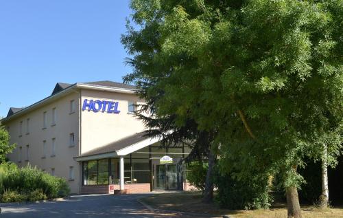
Hotel Laigné
|
|
|
Book now ! Best Price Guaranteed, no booking fees, pay at the hotel with our partner Booking.com, leader in online hotel reservation.
Find all hotels of Laigné : Hotel Laigné
| |
|
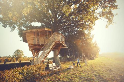
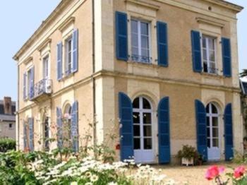
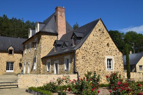
Guest accommodation : La Chouette Cabane
Set within a 27-hectare land with ponds, La Chouette Cabane is located in Craon and offers tree houses with terrace. Each heated accommodation features a seating area, linen be...
Rate : from 93.50 €
to 185.00 €
Address : La Basse Bergerie 53400 Craon
Distance Guest accommodation - Laigné : 7.73 km
|
|
|
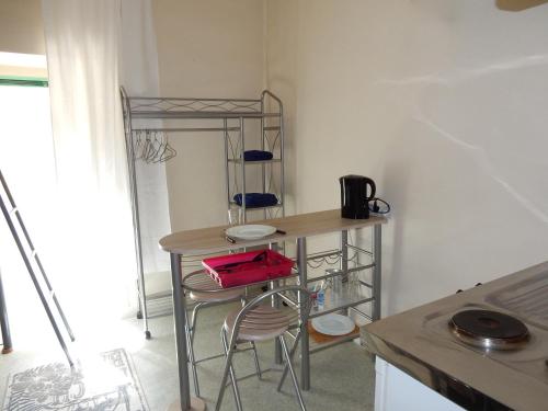
Apartment : Studio meublé
Studio meublé is located in Château-Gontier. The apartment, set in a building dating from 19th century, features free WiFi. The apartment is fitted with a satellite flat-screen...
Contact : 5 Place Paul Doumer 53200 Château-Gontier
Distance Apartment - Laigné : 8.55 km
|
|
|
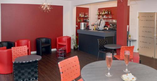
Hotel : Logis Le Parc Hotel & Spa

Set in the Loire Valley, in the heart of Château-Gontier, Logis Le Parc Hotel offers a real change of scenery and a relaxing backdrop to your holidays. It features an outdoor sw...
Prices : from 86.45 €
to 141.00 €
Contact : 46, Avenue Du Maréchal Joffre 53200 Château-Gontier
Distance Hotel - Laigné : 8.56 km
|
|
|
Hotel : Contact Hôtel du Cerf
Hotel du Cerf is located in Chateau Gontier, near the banks of the Mayenne River in north-west France. It offers rooms with free Wi-Fi access and flat-screen TVs. Guest rooms a...
Rate : from 65.00 €
to 142.00 €
Contact : 31 Rue Garnier 53200 Château-Gontier
Distance Hotel - Laigné : 8.62 km
|
|
|
Guest accommodation : Gite La Pescherie

Gite La Pescherie is located in Bazouges. The accommodation has free WiFi. The holiday home features 3 bedrooms, a flat-screen TV with cable channels and a fully equipped kitch...
Address : La Pescherie 53200 Bazouges
Distance Guest accommodation - Laigné : 8.84 km
|
|
|
Hotel : Hotel The Originals Château-Gontier Le Clos de l'Orgerie (ex Inter-Hotel)
Hotel The Originals Château-Gontier Le Clos de l'Orgerie (ex Inter-Hotel) is located in the heart of the countryside, in Château-Gontier. It offers spacious accommodation and a ...
Prices : from 63.00 €
to 98.00 €
Contact : 3, Rue De L'orgerie 53200 Château-Gontier
Distance Hotel - Laigné : 9.08 km
|
|
|
Bed and Breakfast : La Francoisiere
Offering an outdoor pool and children's playground, La Francoisiere is situated in Loigné-sur-Mayenne in the Pays de la Loire Region, 46 km from Angers. Some rooms have a seati...
Rate : from 100.00 €
to 120.00 €
Contact : La Francoisiere 53200 Loigné-sur-Mayenne
Distance Bed and Breakfast - Laigné : 9.24 km
|
|
|
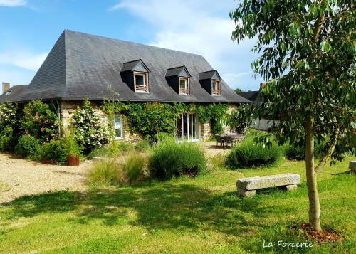
Bed and Breakfast : La Forcerie de Chatelais
Set in a renovated, 18th-century farm, La Forcerie de Chatelais is located in Châtelais and features a 1-hectare garden, a terrace with barbecue facilities and free private park...
Price : from 65.00 €
to 72.00 €
Contact : Lieu dit Le Bourgneuf 49520 Châtelais
Distance Bed and Breakfast - Laigné : 9.50 km
|
|
|
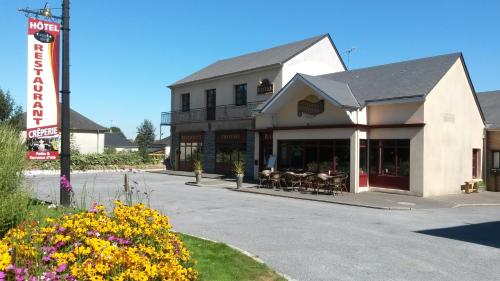
Hotel : HOTEL RESTAURANT Crêperie du Château
Set in Craon, HOTEL RESTAURANT Crêperie du Château features a terrace and a bar. All rooms boast a flat-screen TV with cable channels and a private bathroom. Both free WiFi and ...
Prices : from 64.92 €
to 118.82 €
Address : 14 Avenue de Champagne 53400 Craon
Distance Hotel - Laigné : 9.61 km
|
|
|
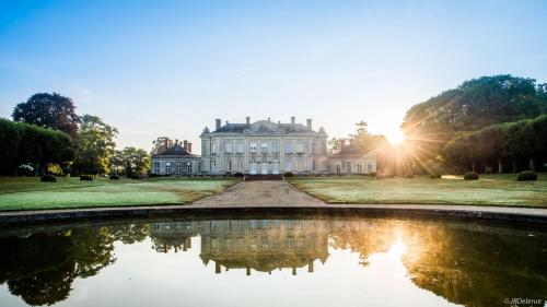
Bed and Breakfast : Château de Craon
Situated in Craon, Château de Craon features accommodation with an outdoor pool and a tennis court. Free WiFi is available. Guests at the bed and breakfast can enjoy a continen...
Contact : Avenue de Champagné n.a 53400 Craon
Distance Bed and Breakfast - Laigné : 9.63 km
|
|
Find another hotel near Laigné : Laigné hotels list
|
Map of Laigné
|
|
Map of Laigné :
At right you can find the localization of Laigné on the map of France. Below, this is the satellite map of Laigné. A road map, and maps templates of Laigné are available here : "road map of Laigné". This map show Laigné seen by the satellite of Google Map. To see the streets of Laigné or move on another zone, use the buttons "zoom" and "map" on top of this dynamic map.
Search on the map of Laigné :
To search hotels, housings, tourist information office, administrations or other services, use the Google search integrated to the map on the following page : "map Laigné".
Hotels of Laigné are listed on the map with the following icons: 
The map of Laigné is centred in the following coordinates :
|

|
|
|
|
Print the map of Laigné

Print the map of Laigné : map of Laigné
|
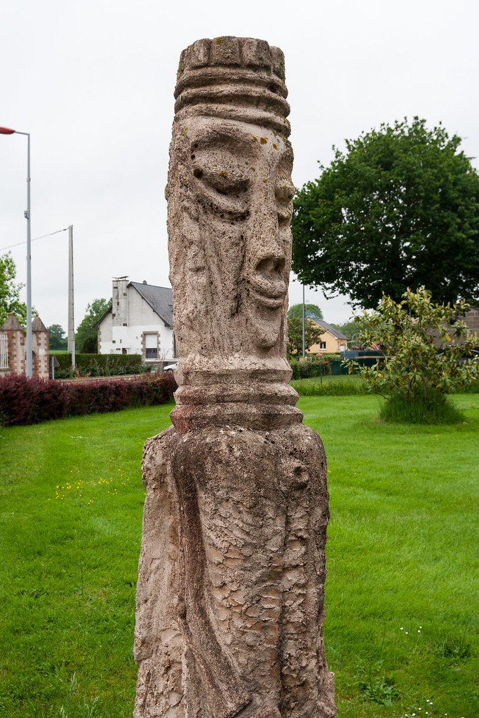
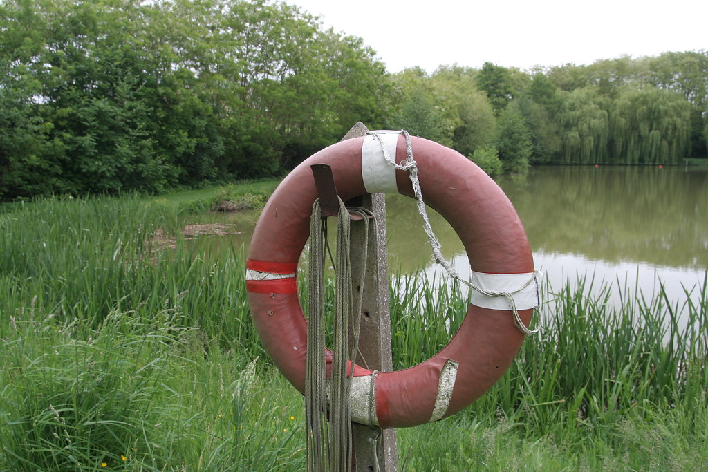
Photos Laigné
|
See all photos of Laigné :
Other photos of Laigné and nearby towns can be found here: photos Laigné
|
|
Laigné weather forecast
Find next hours and 7 days weather forecast for Laigné here : weather Laigné (with english metrics)
This is the last weather forecast for Laigné collected by the nearest observation station of Château-Gontier.
Week Forecast:
The latest weather data for Laigné were collected Thursday, 25 April 2024 at 06:00 from the nearest observation station of Château-Gontier.
| Thursday, April 25th |
14°C 4°C
21%
77%
|
Mostly cloudy
Temperature Max: 14°C Temperature Min: 4°C
Precipitation Probability: 21% (Rain)
Percentage of sky occluded by clouds: 77%
Wind speed: 6 km/h North-East
Humidity: 71%° UV Index: 3
Sunrise: 06:54 Sunset: 21:07 |
|
| | Friday, April 26th |
15°C 6°C
66%
89%
|
Rain
Temperature Max: 15°C Temperature Min: 6°C
Precipitation Probability: 66% (Rain)
Percentage of sky occluded by clouds: 89%
Wind speed: 11 km/h North-East
Humidity: 78%° UV Index: 3
Sunrise: 06:53 Sunset: 21:09 |
|
| | Saturday, April 27th |
15°C 5°C
77%
97%
|
Rain
Temperature Max: 15°C Temperature Min: 5°C
Precipitation Probability: 77% (Rain)
Percentage of sky occluded by clouds: 97%
Wind speed: 14 km/h North-West
Humidity: 87%° UV Index: 3
Sunrise: 06:51 Sunset: 21:10 |
|
| | Sunday, April 28th |
16°C 8°C
59%
54%
|
Drizzle
Temperature Max: 16°C Temperature Min: 8°C
Precipitation Probability: 59% (Rain)
Percentage of sky occluded by clouds: 54%
Wind speed: 19 km/h North-East
Humidity: 69%° UV Index: 4
Sunrise: 06:49 Sunset: 21:12 |
|
|
Attribution: 
|
|
Other maps, hotels and towns in france
Find another town, zip code, department, region, ...
Quick links Laigné :
Make a link to this page of Laigné with the following code :
|
|
|
 French Version : http://www.cartesfrance.fr/carte-france-ville/53124_Laigne.html