|
The village of Lamontélarié is a small village located south of France. The town of Lamontélarié is located in the department of Tarn of the french region Midi-Pyrénées. The town of Lamontélarié is located in the township of Anglès part of the district of Castres. The area code for Lamontélarié is 81134 (also known as code INSEE), and the Lamontélarié zip code is 81260.
Geography and map of Lamontélarié :
The altitude of the city hall of Lamontélarié is approximately 820 meters. The Lamontélarié surface is 21.58 km ². The latitude and longitude of Lamontélarié are 43.625 degrees North and 2.603 degrees East.
Nearby cities and towns of Lamontélarié are :
Le Margnès (81260) at 1.95 km, Castelnau-de-Brassac (81260) at 7.24 km, Anglès (81260) at 7.54 km, La Salvetat-sur-Agout (34330) at 8.39 km, Berlats (81260) at 8.56 km, Espérausses (81260) at 9.56 km, Brassac (81260) at 9.82 km, Gijounet (81530) at 9.91 km.
(The distances to these nearby towns of Lamontélarié are calculated as the crow flies)
Population and housing of Lamontélarié :
The population of Lamontélarié was 71 in 1999, 60 in 2006 and 60 in 2007. The population density of Lamontélarié is 2.78 inhabitants per km². The number of housing of Lamontélarié was 121 in 2007. These homes of Lamontélarié consist of 31 main residences, 87 second or occasional homes and 3 vacant homes. |
|
|
Hotel Lamontélarié
|
|
|
Book now ! Best Price Guaranteed, no booking fees, pay at the hotel with our partner Booking.com, leader in online hotel reservation.
Find all hotels of Lamontélarié : Hotel Lamontélarié
| |
|
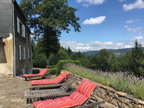
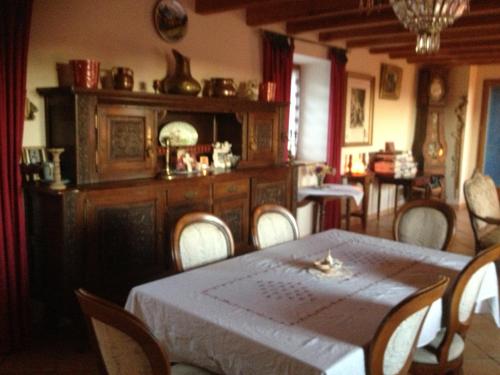
Bed and Breakfast : Les Tables Aux Vaches
Situated in La Salvetat in the Languedoc-Roussillon region, Les Tables Aux Vaches features a terrace and mountain views. Complimentary WiFi is provided. A continental breakfast...
Address : 2 Rond Point Du Panorama Lixirie 34330 La Salvetat
Distance Bed and Breakfast - Lamontélarié : 4.39 km
|
|
|
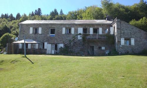
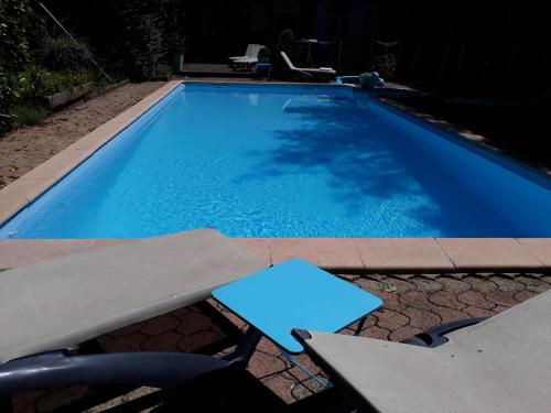
Guest accommodation : Les Chalets du Gua Des Brasses

Situated 5 km from La Salvetat-sur-Agoût, Les Chalets du Gua Des Brasses offers a garden and seasonal outdoor pool. Castres is 52 km from the property. Free private parking is a...
Contact : Domaine des Sources le Gua Des Brasses 34330 La Salvetat
Distance Guest accommodation - Lamontélarié : 5.46 km
|
|
|
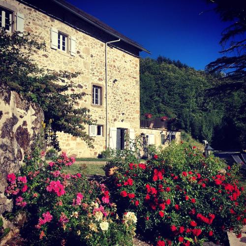
Guest accommodation : Cabanot
Located in La Salvetat, Cabanot offers free bikes, a garden and a barbecue. Featuring a terrace, the holiday home is in an area where guests can engage in activities such as win...
Contact : Lieudit "Cabanot" 34330 La Salvetat
Distance Guest accommodation - Lamontélarié : 6.09 km
|
|
|
Guest accommodation : Gites Au Coeur Des Bois
Set in the hamlet of Canabalios, 10 km out of La Salvetat sur Argout, Gites Au Coeur Des Bois is set in a 11 hectare-park and surrounded by woodlands. It boasts a small, private...
Contact : Canabalios 34330 La Salvetat
Distance Guest accommodation - Lamontélarié : 6.42 km
|
|
|
Guest accommodation : Domaine de Label, Spa, massages

Located in La Salvetat, in a 35 hectare park with BBQ facilities, Domaine de Label, Spa, massages offers a spa, sauna, massages and a fitness area. It provides free private park...
Address : domaine de Label D14 E4 34330 La Salvetat
Distance Guest accommodation - Lamontélarié : 7.36 km
|
|
|
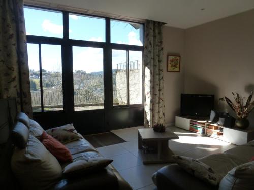
Manou is set in La Salvetat and offers barbecue facilities. This apartment provides accommodation with a terrace. This apartment has a living room and a fully equipped kitchen....
Contact : Rue Montarnaud 34330 La Salvetat
Distance Apartment - Lamontélarié : 8.40 km
|
|
|
Guest accommodation : Jamou
Located in La Salvetat, Jamou provides free WiFi. Guests can make use of a shared lounge. At the guest house, the rooms are fitted with a wardrobe. A continental breakfast is ...
Contact : Hameau de Besses Hautes 34330 La Salvetat
Distance Guest accommodation - Lamontélarié : 9.77 km
|
|
|
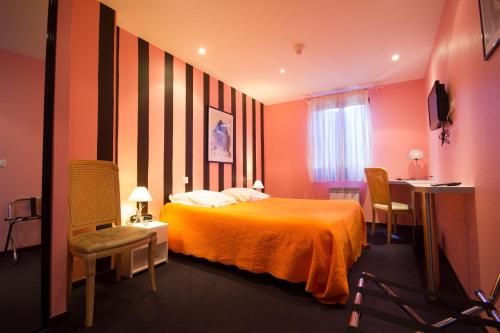
Hotel : Hôtel Restaurant Le Calas
Boasting an ideal destination for the nature lovers, the hotel Claude Calas welcomes you in an authentic setting right amidst the Haut Languedoc area. On site, there is a season...
Price : from 49.00 €
to 65.00 €
Contact : 4, place de la Vierge 81230 Lacaune
Distance Hotel - Lamontélarié : 11.47 km
|
|
|
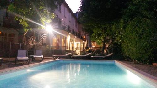
Hotel : Au Pavillon du Frêne
Au Pavillon du Frêne is set in the Haut-Languedoc Regional Natural Park. It has its own outdoor swimming pool and offers good value, comfortable accommodation with internet acce...
Prices : from 45.00 €
to 90.00 €
Address : Rue De La Mairie 81230 Lacaune
Distance Hotel - Lamontélarié : 11.58 km
|
|
|
Hotel : Logis Le Relais de Fusies
The Logis Le Relais De Fusies is located in the quiet town of Lancune in southern France. Rooms have TV and en suite bathroom with Wi-Fi available throughout the hotel. A forme...
Rate : from 68.00 €
to 125.00 €
Contact : 2, Rue De La République 81230 Lacaune
Distance Hotel - Lamontélarié : 11.59 km
|
|
Find another hotel near Lamontélarié : Lamontélarié hotels list
|
Map of Lamontélarié
|
|
Map of Lamontélarié :
At right you can find the localization of Lamontélarié on the map of France. Below, this is the satellite map of Lamontélarié. A road map, and maps templates of Lamontélarié are available here : "road map of Lamontélarié". This map show Lamontélarié seen by the satellite of Google Map. To see the streets of Lamontélarié or move on another zone, use the buttons "zoom" and "map" on top of this dynamic map.
Search on the map of Lamontélarié :
To search hotels, housings, tourist information office, administrations or other services, use the Google search integrated to the map on the following page : "map Lamontélarié".
Hotels of Lamontélarié are listed on the map with the following icons: 
The map of Lamontélarié is centred in the following coordinates :
|

|
|
|
|
Print the map of Lamontélarié

Print the map of Lamontélarié : map of Lamontélarié
|
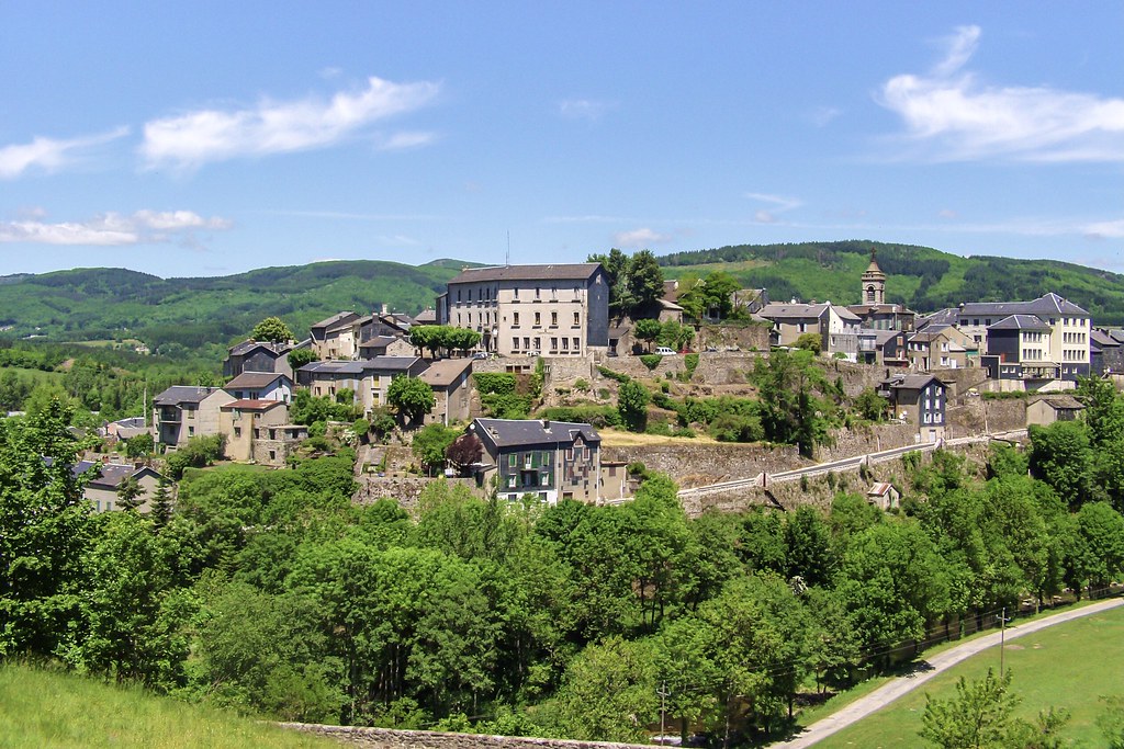
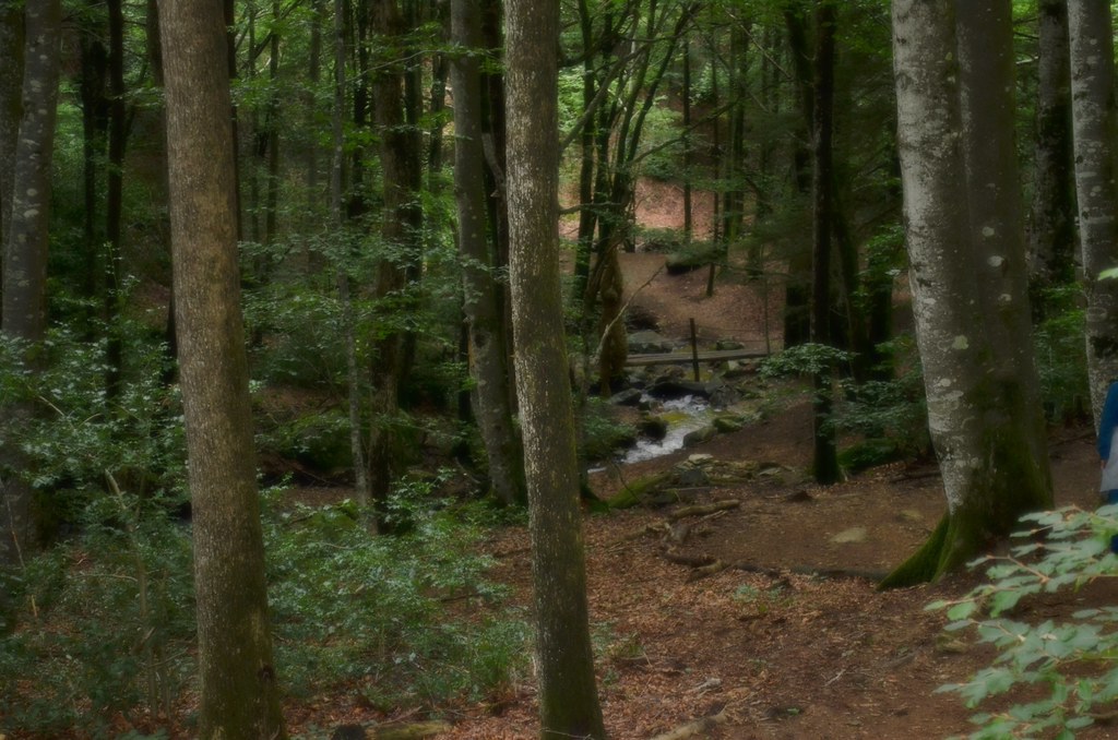
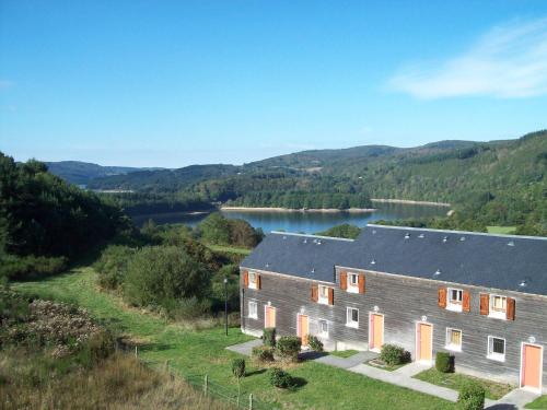
Photos Lamontélarié
|
See all photos of Lamontélarié :
Other photos of Lamontélarié and nearby towns can be found here: photos Lamontélarié
|
|
Lamontélarié weather forecast
Find next hours and 7 days weather forecast for Lamontélarié here : weather Lamontélarié (with english metrics)
This is the last weather forecast for Lamontélarié collected by the nearest observation station of Anglès.
Week Forecast:
The latest weather data for Lamontélarié were collected Wednesday, 24 April 2024 at 17:00 from the nearest observation station of Anglès.
| Wednesday, April 24th |
6°C -0°C
44%
87%
|
Rain
Temperature Max: 6°C Temperature Min: -0°C
Precipitation Probability: 44% (Rain)
Percentage of sky occluded by clouds: 87%
Wind speed: 24 km/h South-East
Humidity: 81%° UV Index: 3
Sunrise: 06:52 Sunset: 20:44 |
|
| | Thursday, April 25th |
11°C 4°C
58%
88%
|
Rain
Temperature Max: 11°C Temperature Min: 4°C
Precipitation Probability: 58% (Rain)
Percentage of sky occluded by clouds: 88%
Wind speed: 10 km/h South-East
Humidity: 78%° UV Index: 3
Sunrise: 06:50 Sunset: 20:45 |
|
| | Friday, April 26th |
13°C 5°C
59%
76%
|
Drizzle
Temperature Max: 13°C Temperature Min: 5°C
Precipitation Probability: 59% (Rain)
Percentage of sky occluded by clouds: 76%
Wind speed: 8 km/h North
Humidity: 74%° UV Index: 4
Sunrise: 06:49 Sunset: 20:46 |
|
| | Saturday, April 27th |
12°C 8°C
58%
95%
|
Rain
Temperature Max: 12°C Temperature Min: 8°C
Precipitation Probability: 58% (Rain)
Percentage of sky occluded by clouds: 95%
Wind speed: 30 km/h North-West
Humidity: 87%° UV Index: 3
Sunrise: 06:47 Sunset: 20:47 |
|
|
Attribution: 
|
|
Other maps, hotels and towns in france
Find another town, zip code, department, region, ...
Quick links Lamontélarié :
Make a link to this page of Lamontélarié with the following code :
|
|
|
 French Version : http://www.cartesfrance.fr/carte-france-ville/81134_Lamontelarie.html