|
The village of Lannédern is a small village located north west of France. The town of Lannédern is located in the department of Finistère of the french region Bretagne. The town of Lannédern is located in the township of Pleyben part of the district of Châteaulin. The area code for Lannédern is 29115 (also known as code INSEE), and the Lannédern zip code is 29190.
Geography and map of Lannédern :
The altitude of the city hall of Lannédern is approximately 160 meters. The Lannédern surface is 12.43 km ². The latitude and longitude of Lannédern are 48.302 degrees North and 3.897 degrees West.
Nearby cities and towns of Lannédern are :
Loqueffret (29530) at 3.57 km, Brasparts (29190) at 4.27 km, Le Cloître-Pleyben (29190) at 4.90 km, Brennilis (29690) at 7.16 km, Plonévez-du-Faou (29530) at 7.68 km, Saint-Rivoal (29190) at 9.05 km, Botmeur (29690) at 9.16 km, Collorec (29530) at 9.29 km.
(The distances to these nearby towns of Lannédern are calculated as the crow flies)
Population and housing of Lannédern :
The population of Lannédern was 272 in 1999, 295 in 2006 and 302 in 2007. The population density of Lannédern is 24.30 inhabitants per km². The number of housing of Lannédern was 195 in 2007. These homes of Lannédern consist of 147 main residences, 38 second or occasional homes and 9 vacant homes. |
|
|
Hotel Lannédern
|
|
|
Book now ! Best Price Guaranteed, no booking fees, pay at the hotel with our partner Booking.com, leader in online hotel reservation.
Find all hotels of Lannédern : Hotel Lannédern
| |
|
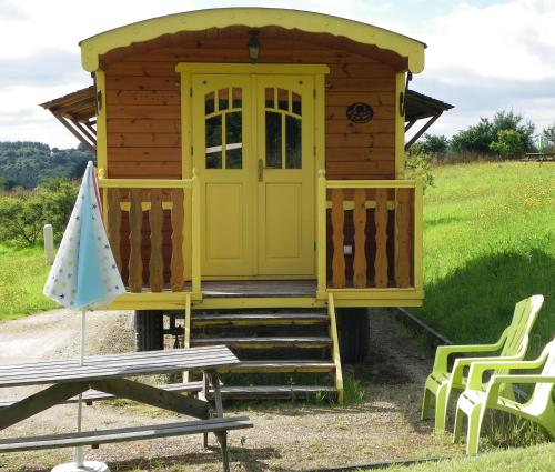
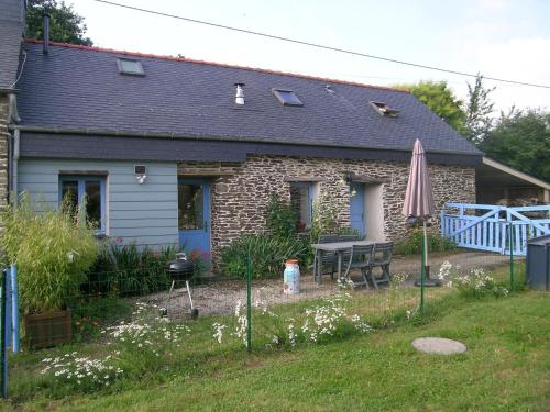
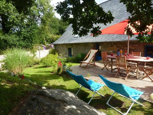
Guest accommodation : Les Roulottes des Korrigans
Located in Brittany, within the Armorique Natural Park, Les Roulottes des Korrigans offers independent accommodation in wooden caravans. Guests can enjoy the on-site restaurant,...
Rate : from 70.00 €
to 89.00 €
Address : Rue des korrigans 29190 Brasparts
Distance Guest accommodation - Lannédern : 4.30 km
|
|
|
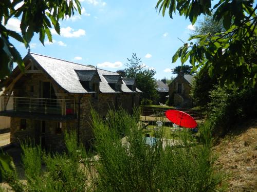
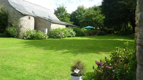
Guest accommodation : Les Gîtes de Garz Ar Bik
Located in Brasparts, Les Gîtes de Garz Ar Bik offers self-catering accommodation with a terrace, garden and BBQ facilities. The beach is only 25 km away and Quimper is 30 km fr...
Contact : Les gîtes de Garz Ar Bik 29190 Brasparts
Distance Guest accommodation - Lannédern : 4.54 km
|
|
|
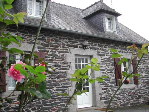
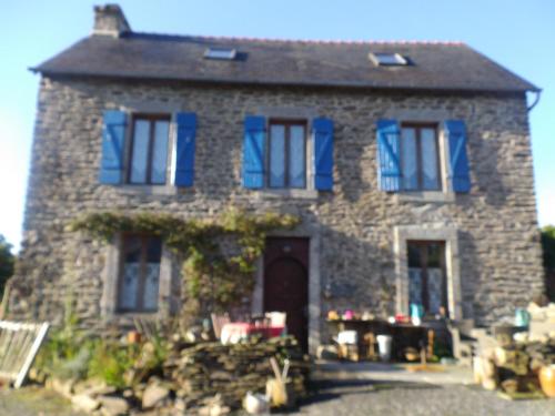
Bed and Breakfast : Le Domaine de Rugornou Vras
Located in Brasparts, 25 km from the beach and 30 km from Quimper, this former farm now works as a B&B. It features a garden, barbecue facilities and a furnished terrace. Openi...
Prices : from 60.00 €
Contact : Le Domaine de Rugornou Vras 29190 Brasparts
Distance Bed and Breakfast - Lannédern : 5.30 km
|
|
|
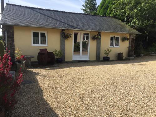
Guest accommodation : Ar Parkou
Boasting barbecue facilities and a garden, Ar Parkou provides accommodation in Plonévez-du-Faou with free WiFi and mountain views. The accommodation is 50 km from Quimper. The ...
Contact : parcou 629-634 Parcou 29530 Plonévez-du-Faou
Distance Guest accommodation - Lannédern : 6.11 km
|
|
|
Guest accommodation : Ti Gwen
Situated in Plonévez-du-Faou in the Brittany Region, this semi-detached holiday home features a private entrance, terrace and garden. Guests benefit from free WiFi and private p...
Address : Parcou 29530 Plonévez-du-Faou
Distance Guest accommodation - Lannédern : 6.17 km
|
|
|
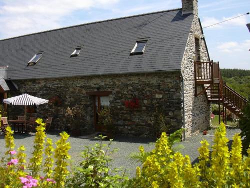
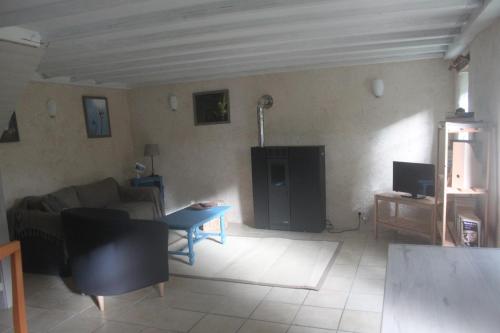
Guest accommodation : Coeur du finistere

Coeur du finistere is located in Pleyben and offers barbecue facilities. With garden views, this accommodation provides a terrace. The holiday home has 3 separate bedrooms, 3 b...
Prices : from 80.00 €
to 90.00 €
Contact : Ar Chrann 29190 Pleyben
Distance Guest accommodation - Lannédern : 8.61 km
|
|
|
Guest accommodation : Tyrbourg
Tyrbourg is offering accommodation in Lopérec. Among the various facilities are barbecue facilities, a garden, as well as a terrace. The accommodation offers free WiFi. At the ...
Rate : from 31.50 €
to 35.00 €
Contact : Tyrbourg 3 29590 Lopérec
Distance Guest accommodation - Lannédern : 9.67 km
|
|
|
Guest accommodation : Le Cloitre

Le Cloitre is a holiday home situated in Huelgoat, 47 km from Quimper. The property boasts views of the garden and is 43 km from Roscoff. There is a dining area and a kitchen c...
Price : from 65.00 €
Contact : Le Cloitre Lieu-dit 29690 Huelgoat
Distance Guest accommodation - Lannédern : 10.05 km
|
|
|
Guest accommodation : Holiday home Huelgoat
Set in Huelgoat in the Brittany region, Holiday home Huelgoat features a terrace. This holiday home also has free WiFi. This holiday home is fitted with 2 bedrooms, a TV, and a...
Address : 29690 Huelgoat
Distance Guest accommodation - Lannédern : 10.28 km
|
|
|
Guest accommodation : Domaine Huelgoat
Located in Huelgoat, just 20 km from Morlaix, Saint Guinec offers a self-catering cottage with a landscaped garden, terrace and BBQ facilities. The sea and several beaches are a...
Contact : Saint Guinec 29690 Huelgoat
Distance Guest accommodation - Lannédern : 10.46 km
|
|
Find another hotel near Lannédern : Lannédern hotels list
|
Map of Lannédern
|
|
Map of Lannédern :
At right you can find the localization of Lannédern on the map of France. Below, this is the satellite map of Lannédern. A road map, and maps templates of Lannédern are available here : "road map of Lannédern". This map show Lannédern seen by the satellite of Google Map. To see the streets of Lannédern or move on another zone, use the buttons "zoom" and "map" on top of this dynamic map.
Search on the map of Lannédern :
To search hotels, housings, tourist information office, administrations or other services, use the Google search integrated to the map on the following page : "map Lannédern".
Hotels of Lannédern are listed on the map with the following icons: 
The map of Lannédern is centred in the following coordinates :
|

|
|
|
|
Print the map of Lannédern

Print the map of Lannédern : map of Lannédern
|
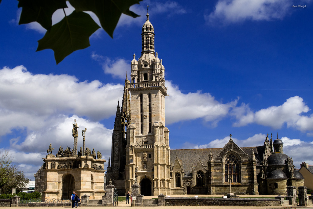
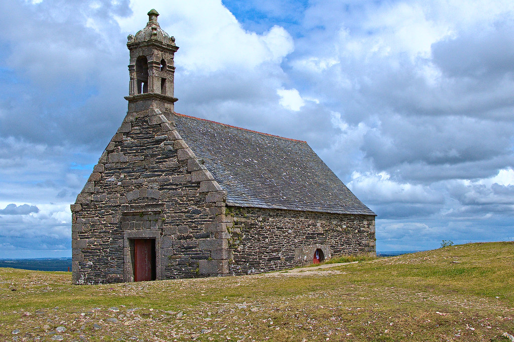
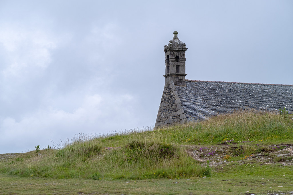
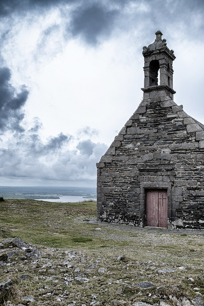
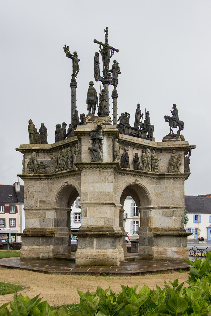
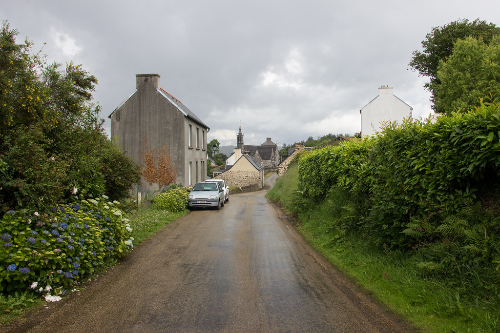
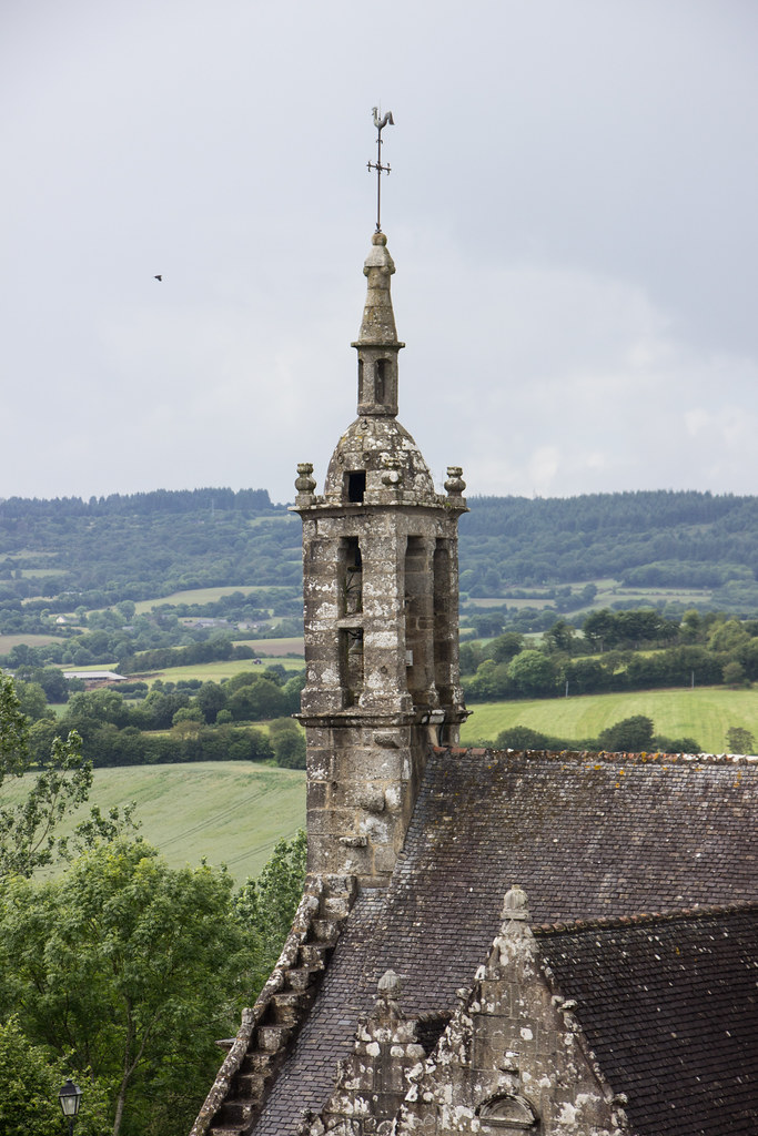
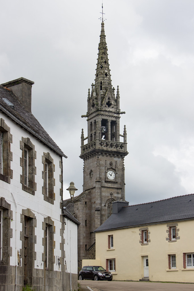
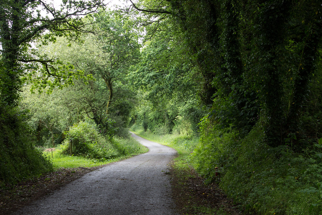
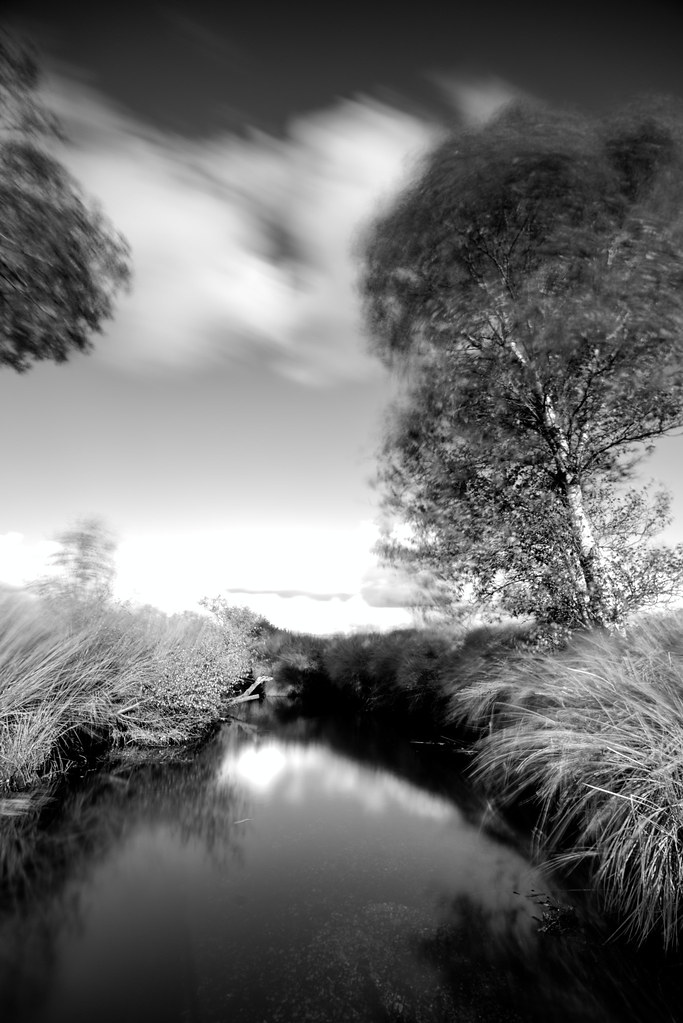
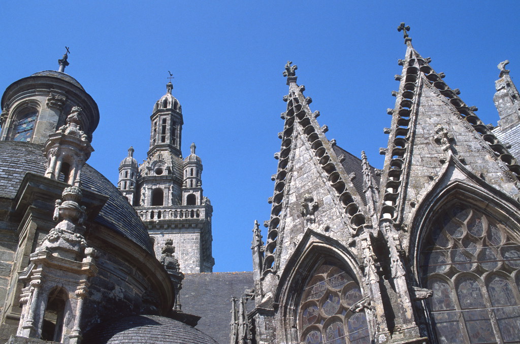
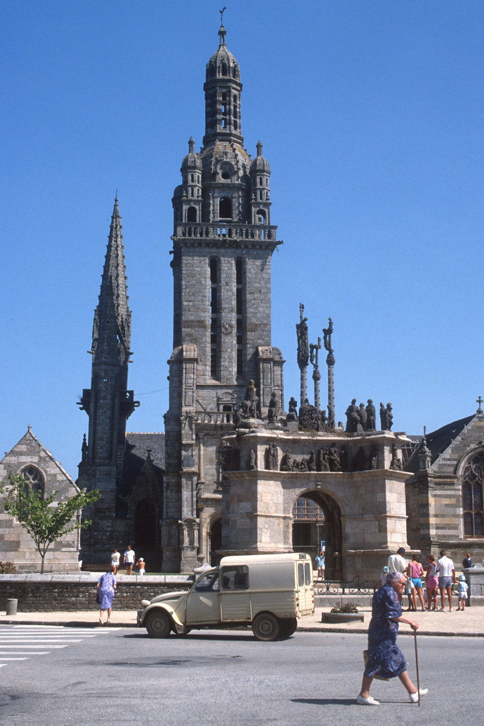
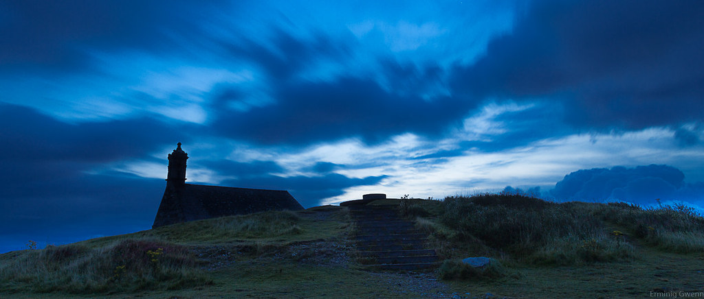
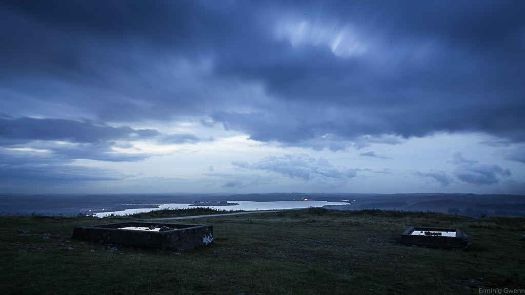
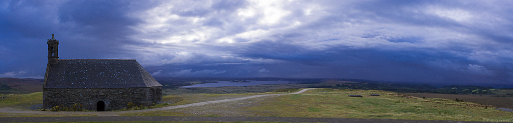
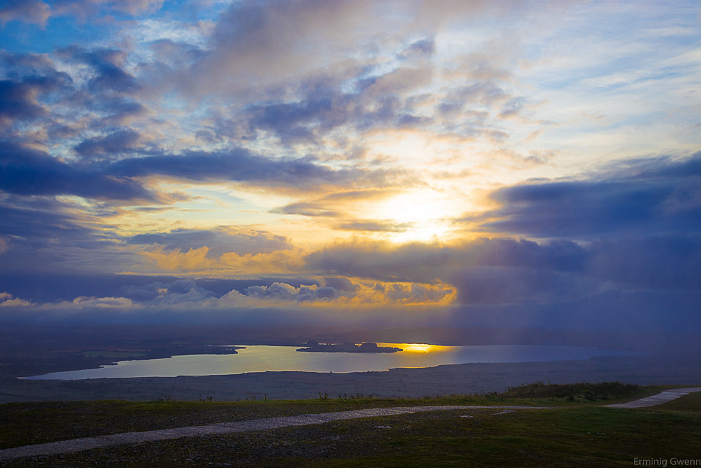
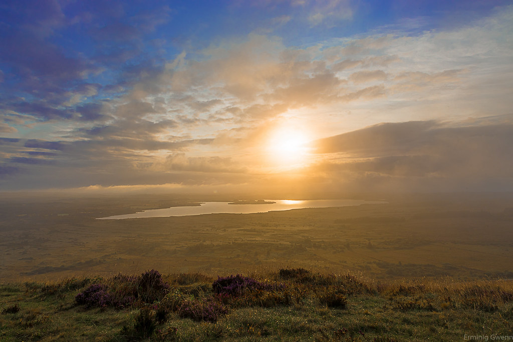
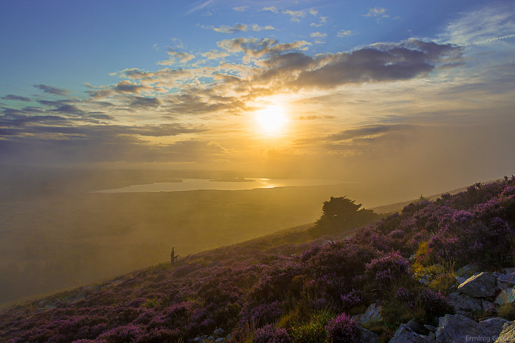
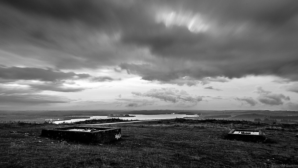
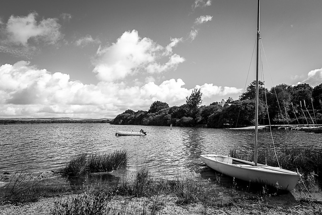
Photos Lannédern
|
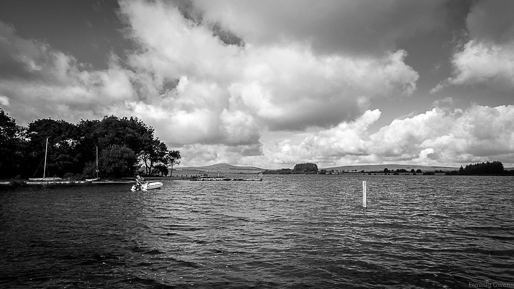
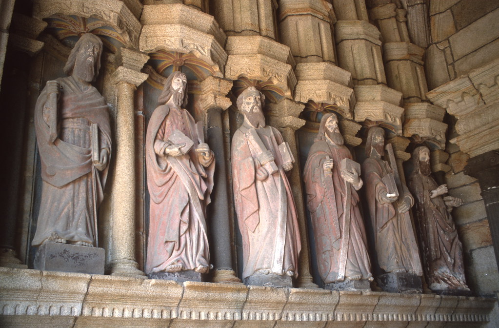
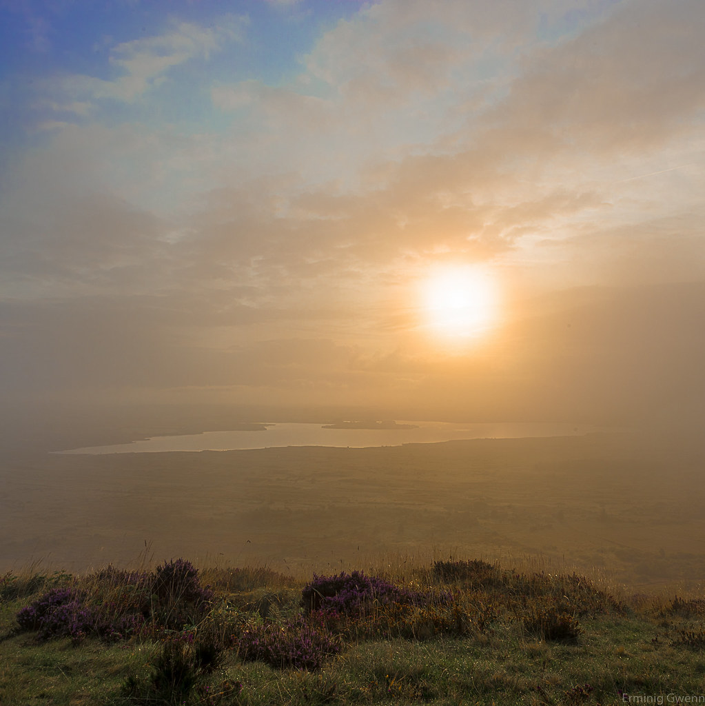
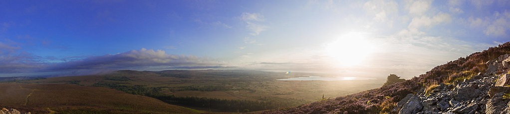
See all photos of Lannédern :
Other photos of Lannédern and nearby towns can be found here: photos Lannédern
|
|
Lannédern weather forecast
Find next hours and 7 days weather forecast for Lannédern here : weather Lannédern (with english metrics)
This is the last weather forecast for Lannédern collected by the nearest observation station of Pleyben.
Week Forecast:
The latest weather data for Lannédern were collected Tuesday, 23 April 2024 at 13:00 from the nearest observation station of Pleyben.
| Tuesday, April 23rd |
14°C 5°C
0%
65%
|
Mostly cloudy
Temperature Max: 14°C Temperature Min: 5°C
Precipitation Probability: 0%
Percentage of sky occluded by clouds: 65%
Wind speed: 14 km/h South
Humidity: 70%° UV Index: 4
Sunrise: 07:10 Sunset: 21:18 |
|
| | Wednesday, April 24th |
14°C 6°C
0%
49%
|
Partly cloudy
Temperature Max: 14°C Temperature Min: 6°C
Precipitation Probability: 0%
Percentage of sky occluded by clouds: 49%
Wind speed: 14 km/h South-East
Humidity: 65%° UV Index: 4
Sunrise: 07:08 Sunset: 21:20 |
|
| | Thursday, April 25th |
13°C 4°C
0%
76%
|
Mostly cloudy
Temperature Max: 13°C Temperature Min: 4°C
Precipitation Probability: 0%
Percentage of sky occluded by clouds: 76%
Wind speed: 11 km/h South-East
Humidity: 69%° UV Index: 3
Sunrise: 07:06 Sunset: 21:21 |
|
| | Friday, April 26th |
12°C 5°C
61%
95%
|
Rain
Temperature Max: 12°C Temperature Min: 5°C
Precipitation Probability: 61% (Rain)
Percentage of sky occluded by clouds: 95%
Wind speed: 11 km/h North
Humidity: 78%° UV Index: 3
Sunrise: 07:05 Sunset: 21:23 |
|
|
Attribution: 
|
|
Other maps, hotels and towns in france
Find another town, zip code, department, region, ...
Quick links Lannédern :
Make a link to this page of Lannédern with the following code :
|
|
|
 French Version : http://www.cartesfrance.fr/carte-france-ville/29115_Lannedern.html