|
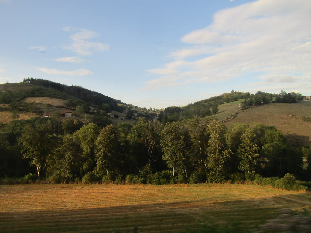
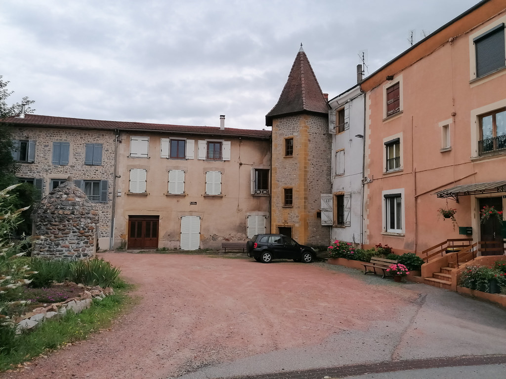
The village of Lay is a small village located south east of France. The town of Lay is located in the department of Loire of the french region Rhône-Alpes. The town of Lay is located in the township of Saint-Symphorien-de-Lay part of the district of Roanne. The area code for Lay is 42118 (also known as code INSEE), and the Lay zip code is 42470.
Geography and map of Lay :
The altitude of the city hall of Lay is approximately 461 meters. The Lay surface is 12.85 km ². The latitude and longitude of Lay are 45.957 degrees North and 4.219 degrees East.
Nearby cities and towns of Lay are :
Saint-Symphorien-de-Lay (42470) at 1.44 km, Neaux (42470) at 2.94 km, Régny (42630) at 3.78 km, Fourneaux (42470) at 4.30 km, Croizet-sur-Gand (42540) at 4.69 km, Pradines (42630) at 5.59 km, Vendranges (42590) at 6.85 km, Neulise (42590) at 6.90 km.
(The distances to these nearby towns of Lay are calculated as the crow flies)
Population and housing of Lay :
The population of Lay was 648 in 1999, 689 in 2006 and 694 in 2007. The population density of Lay is 54.01 inhabitants per km². The number of housing of Lay was 279 in 2007. These homes of Lay consist of 243 main residences, 16 second or occasional homes and 20 vacant homes. |
|
|
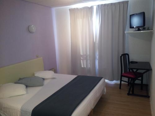
Hotel Lay
|
|
|
Book now ! Best Price Guaranteed, no booking fees, pay at the hotel with our partner Booking.com, leader in online hotel reservation.
Find all hotels of Lay : Hotel Lay
| |
|
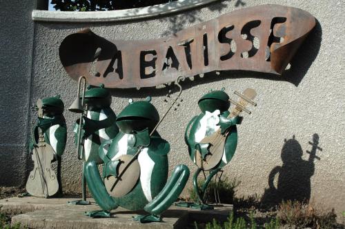
Bed and Breakfast : La Bâtisse de Jailly
A 19th-century property set 10 km from Roanne Train Station, La Bâtisse de Jailly features an outdoor swimming pool, a terrace with views of the well-kept garden, and free inter...
Rate : from 90.00 €
Address : La Bâtisse de Jailly 42120 Notre-Dame-de-Boisset
Distance Bed and Breakfast - Lay : 7.83 km
|
|
|
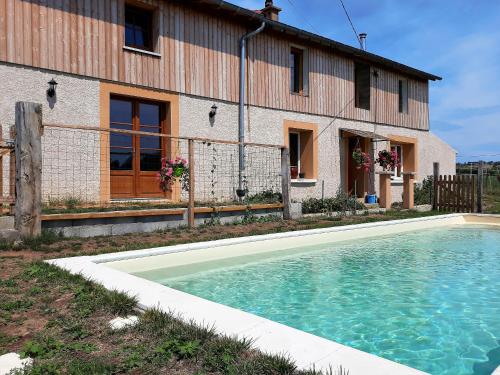
Bed and Breakfast : La ferme du Bouton d'Or
Offering a seasonal outdoor pool, barbecue and sun terrace, La ferme du Bouton d'Or is situated in Vendranges in the Rhône-Alps Region. Guests can enjoy meals on site at the own...
Price : from 80.00 €
to 160.00 €
Contact : Lieu-Dit Berthelot 42590 Vendranges
Distance Bed and Breakfast - Lay : 9.30 km
|
|

|
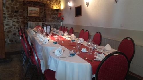
Guest accommodation : Chateau de Sainte Colombe Sur Gand

Chateau de Sainte Colombe Sur Gand offers rooms in Sainte-Colombe-sur-Gand. The accommodation features free WiFi. All guest rooms in the guest house are equipped with a kettle....
Prices : from 80.50 €
to 125.00 €
Contact : Le Bourg Chateau de Sainte Colombe S.C.I. Du Chateau de Sainte Colombe 42540 Sainte-Colombe-sur-Gand
Distance Guest accommodation - Lay : 9.49 km
|
|

|
Hotel : Hôtel Le Dahu

Located in Parigny, Hôtel Le Dahu features a garden, a terrace and a children’s playground. Free Wi-Fi access is available for guests. The double rooms feature a view of the ga...
Rate : from 65.00 €
to 75.00 €
Contact : 573 Route du Bas de Rhins 42120 Parigny
Distance Hotel - Lay : 9.59 km
|
|
|
Hotel : Le Clos Fleuri
Featuring a restaurant, Le Clos Fleuri is located in Bourg-de-Thizy. Free Wi-Fi access is available for guests. All rooms offer city views, a flat-screen TV and a desk. The pri...
Price : from 53.00 €
to 110.00 €
Address : 19 rue Pierre Poizat 69240 Bourg-de-Thizy
Distance Hotel - Lay : 10.62 km
|
|
|
Hotel : Hôtel Restaurant L'Ecrevisse
Hôtel Restaurant L'Ecrevisse is located in Thizy-les-Bourgs, 20 km east of Roanne, in the Beaujolais Wine Region. The hotel offers an à la carte restaurant, free Wi-Fi and gues...
Prices : from 60.00 €
to 120.00 €
Contact : 1 place de l Europe 69240 Thizy-les-Bourgs
Distance Hotel - Lay : 10.90 km
|
|
|
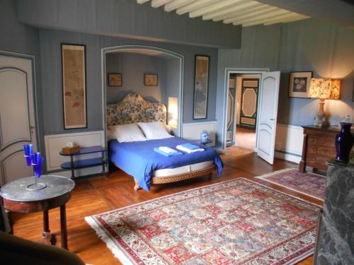
Bed and Breakfast : Le Château d'Ailly
Located a 10-minute drive from Roanne, Le Château d’Ailly offers an 80-hectare private property with landscaped gardens and individually decorated guest rooms in the chateau. Fr...
Contact : Le Château d'Ailly 42120 Parigny
Distance Bed and Breakfast - Lay : 10.93 km
|
|

|
Hotel : Lemon Hotel
Located in the Rhône-Alpes region, this low-cost hotel offers soundproofed rooms with a flat-screen TV and free WiFi access. It is 4 km from Roanne city centre. Each guest room...
Price : from 26.90 €
to 28.00 €
Contact : 60 Bd Charles de Gaulle 42120 Le Coteau
Distance Hotel - Lay : 11.03 km
|
|

|
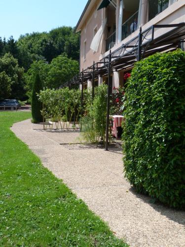
ibis Roanne is in the heart of the Loire region, 5 km from the centre of Roanne and the SNCF train station. It offers en suite rooms, a restaurant and a swimming pool. Free WiFi...
Prices : from 46.00 €
to 104.80 €
Address : 53 Boulevard Charles De Gaulle 42120 Le Coteau
Distance Hotel - Lay : 11.07 km
|
|
|
Hotel : Hôtel Restaurant La Terrasse
Offering a restaurant and a garden, Hôtel Restaurant La Terrasse is located in Marnand . Free WiFi access is available. Rooms here will provide you with a flat-screen TV and a ...
Rate : from 65.00 €
to 95.00 €
Contact : Le Bourg 69240 Marnand
Distance Hotel - Lay : 12.04 km
|
|
Find another hotel near Lay : Lay hotels list
|
Map of Lay
|
|
Map of Lay :
At right you can find the localization of Lay on the map of France. Below, this is the satellite map of Lay. A road map, and maps templates of Lay are available here : "road map of Lay". This map show Lay seen by the satellite of Google Map. To see the streets of Lay or move on another zone, use the buttons "zoom" and "map" on top of this dynamic map.
Search on the map of Lay :
To search hotels, housings, tourist information office, administrations or other services, use the Google search integrated to the map on the following page : "map Lay".
Hotels of Lay are listed on the map with the following icons: 
The map of Lay is centred in the following coordinates :
|

|
|
|
|
Print the map of Lay

Print the map of Lay : map of Lay
|
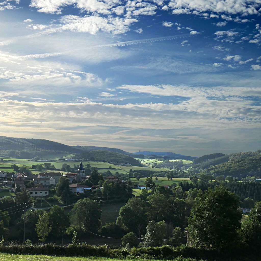
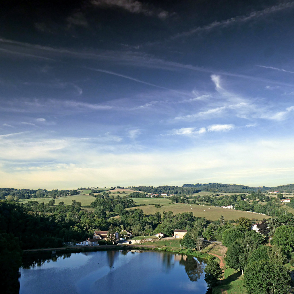
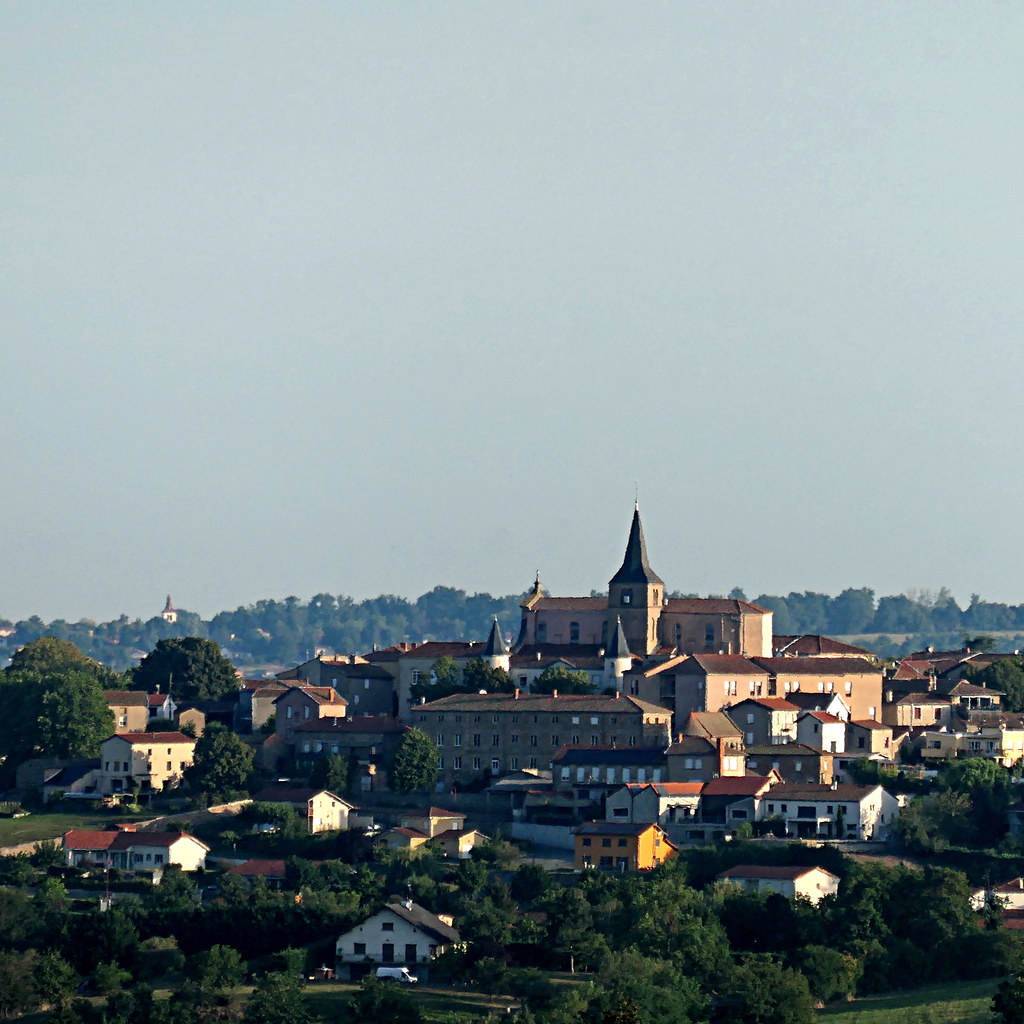
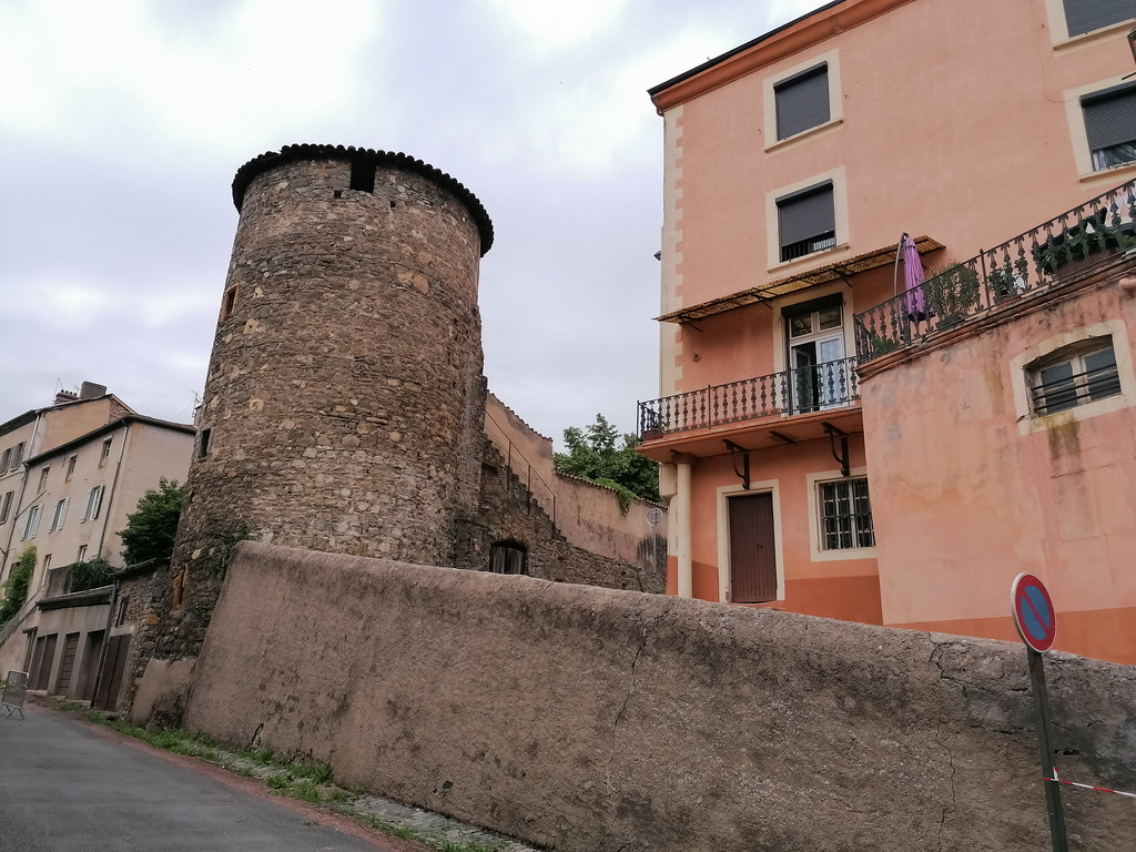
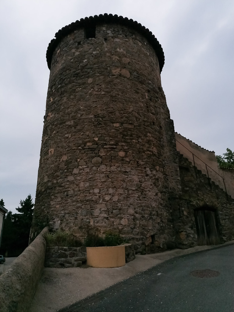
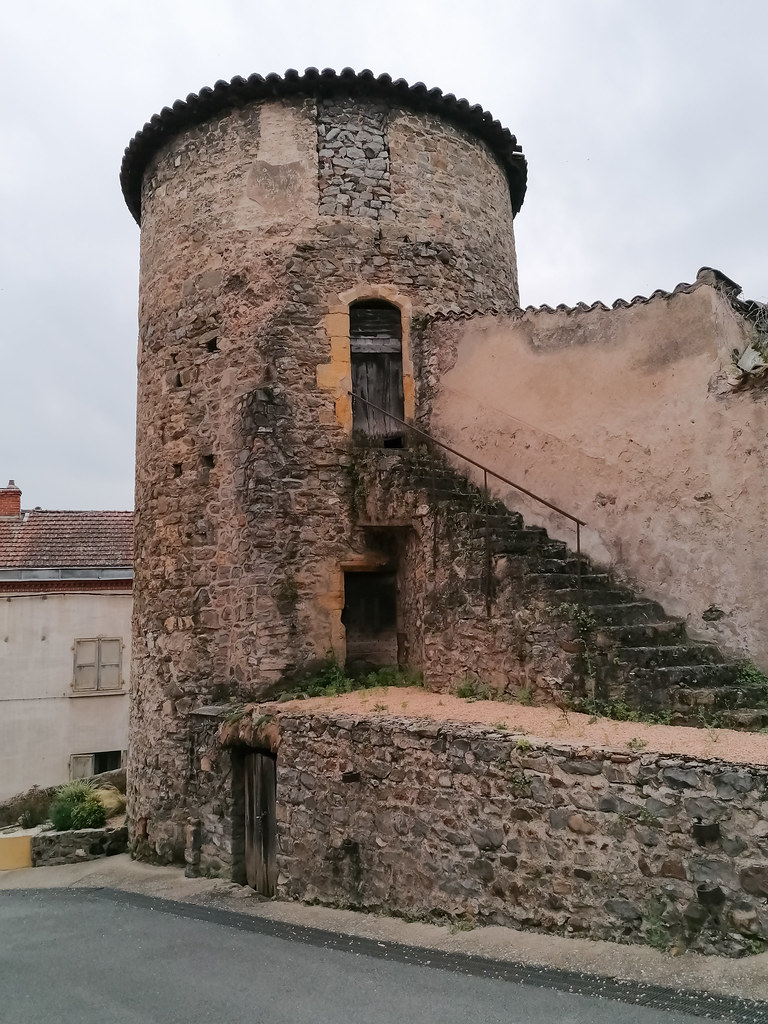
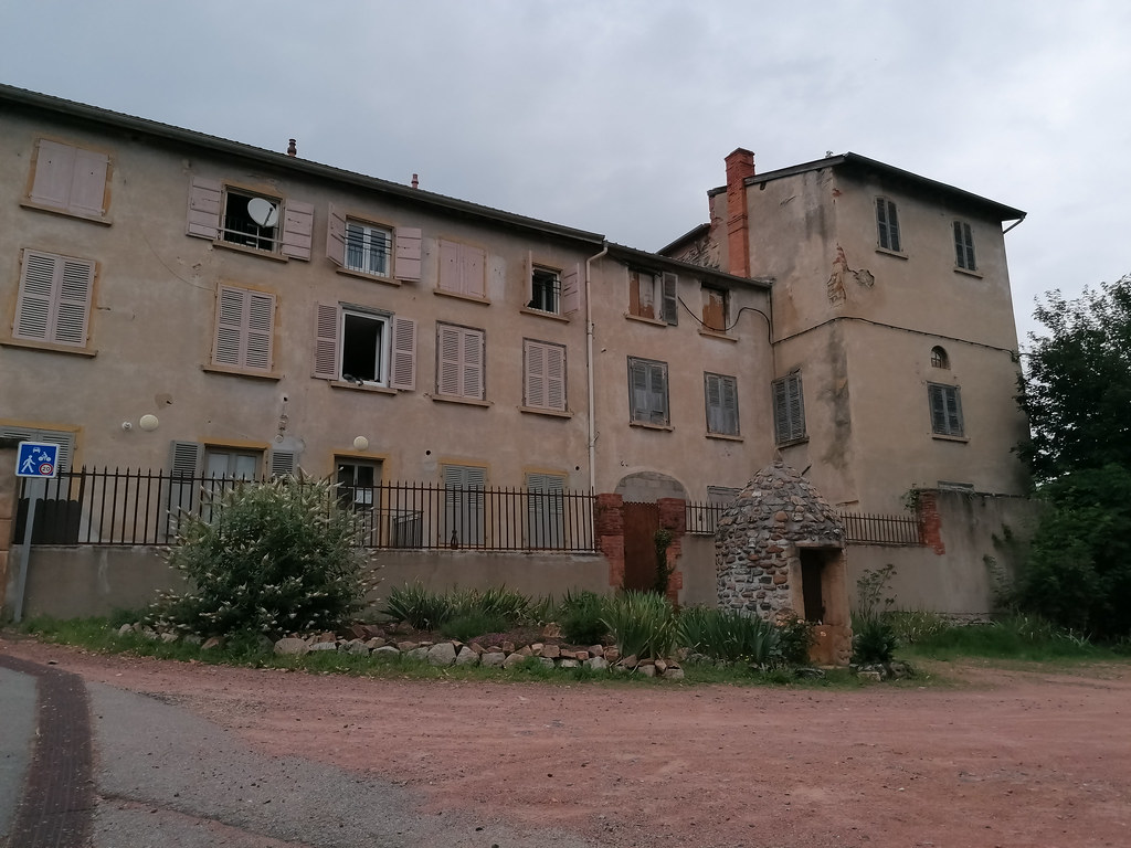
Photos Lay
|
See all photos of Lay :
Other photos of Lay and nearby towns can be found here: photos Lay
|
|
Lay weather forecast
Find next hours and 7 days weather forecast for Lay here : weather Lay (with english metrics)
This is the last weather forecast for Lay collected by the nearest observation station of Saint-Symphorien-de-Lay.
Week Forecast:
The latest weather data for Lay were collected Wednesday, 24 April 2024 at 17:00 from the nearest observation station of Saint-Symphorien-de-Lay.
| Wednesday, April 24th |
8°C -0°C
35%
87%
|
Drizzle
Temperature Max: 8°C Temperature Min: -0°C
Precipitation Probability: 35% (Rain)
Percentage of sky occluded by clouds: 87%
Wind speed: 13 km/h South-East
Humidity: 73%° UV Index: 3
Sunrise: 06:41 Sunset: 20:42 |
|
| | Thursday, April 25th |
12°C 1°C
34%
78%
|
Mostly cloudy
Temperature Max: 12°C Temperature Min: 1°C
Precipitation Probability: 34% (Rain)
Percentage of sky occluded by clouds: 78%
Wind speed: 5 km/h North
Humidity: 70%° UV Index: 3
Sunrise: 06:39 Sunset: 20:43 |
|
| | Friday, April 26th |
13°C 5°C
71%
82%
|
Drizzle
Temperature Max: 13°C Temperature Min: 5°C
Precipitation Probability: 71% (Rain)
Percentage of sky occluded by clouds: 82%
Wind speed: 7 km/h North
Humidity: 76%° UV Index: 3
Sunrise: 06:37 Sunset: 20:45 |
|
| | Saturday, April 27th |
16°C 8°C
49%
84%
|
Rain
Temperature Max: 16°C Temperature Min: 8°C
Precipitation Probability: 49% (Rain)
Percentage of sky occluded by clouds: 84%
Wind speed: 30 km/h North
Humidity: 60%° UV Index: 3
Sunrise: 06:36 Sunset: 20:46 |
|
|
Attribution: 
|
|
Other maps, hotels and towns in france
Find another town, zip code, department, region, ...
Quick links Lay :
Make a link to this page of Lay with the following code :
|
|
|
 French Version : http://www.cartesfrance.fr/carte-france-ville/42118_Lay.html