|
The village of Le Mung is a small village located west of France. The town of Le Mung is located in the department of Charente-Maritime of the french region Poitou-Charentes. The town of Le Mung is located in the township of Saint-Savinien part of the district of Saint-Jean-d'Angély. The area code for Le Mung is 17252 (also known as code INSEE), and the Le Mung zip code is 17350.
Geography and map of Le Mung :
The altitude of the city hall of Le Mung is approximately 5 meters. The Le Mung surface is 7.52 km ². The latitude and longitude of Le Mung are 45.873 degrees North and 0.712 degrees West.
Nearby cities and towns of Le Mung are :
Saint-Savinien (17350) at 2.56 km, Crazannes (17350) at 2.68 km, Geay (17250) at 4.06 km, Port-d'Envaux (17350) at 4.75 km, Plassay (17250) at 6.13 km, Archingeay (17380) at 6.58 km, Taillebourg (17350) at 6.60 km, Bords (17430) at 7.00 km.
(The distances to these nearby towns of Le Mung are calculated as the crow flies)
Population and housing of Le Mung :
The population of Le Mung was 264 in 1999, 263 in 2006 and 263 in 2007. The population density of Le Mung is 34.97 inhabitants per km². The number of housing of Le Mung was 135 in 2007. These homes of Le Mung consist of 110 main residences, 18 second or occasional homes and 7 vacant homes. |
|
|
Hotel Le Mung
|
|
|
Book now ! Best Price Guaranteed, no booking fees, pay at the hotel with our partner Booking.com, leader in online hotel reservation.
Find all hotels of Le Mung : Hotel Le Mung
| |
|
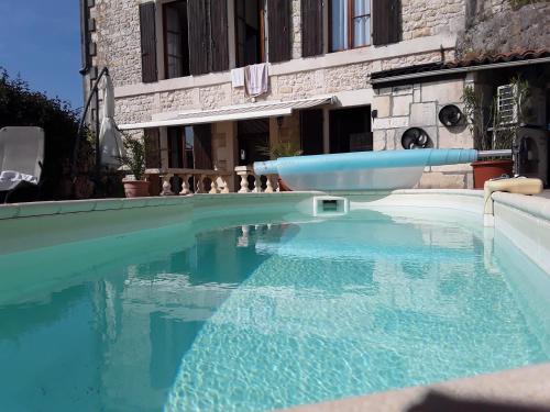
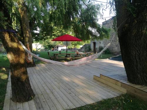
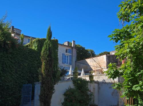
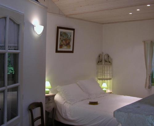
Guest accommodation : La Maison de l'Aubépin
La Maison de l'Aubépin in Saint-Savinien has a seasonal outdoor swimming pool and a garden. Free WiFi is offered. At the guest house, every room has a desk. All rooms feature a...
Rate : from 25.00 €
Address : 4 rue de l'Aubépin 17350 Saint-Savinien
Distance Guest accommodation - Le Mung : 2.49 km
|
|
|
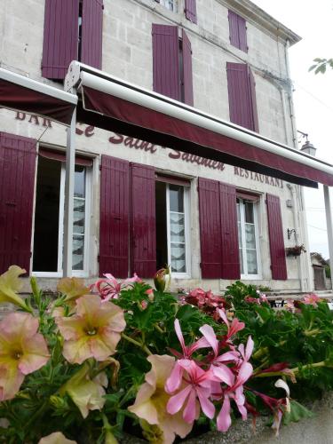
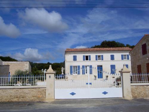
Hotel : Le Saint Savinien

Located in the centre of Saint-Savinien, Le Saint Savinien offers a terrace, restaurant and free Wi-Fi access throughout. Roche Courbon Castle is 11 km away. All rooms feature ...
Price : from 53.00 €
to 74.00 €
Contact : 27 rue de Champeroux 17350 Saint-Savinien
Distance Hotel - Le Mung : 2.57 km
|
|
|
Guest accommodation : le gite des 3 saules

Located in Saint-Savinien, le gite des 3 saules offers accommodation with a terrace and free WiFi. The property features garden views and is 28 km from Saintes. This holiday ho...
Prices : from 100.00 €
to 130.00 €
Contact : La Raberie 17350 Saint-Savinien
Distance Guest accommodation - Le Mung : 3.16 km
|
|
|
Guest accommodation : Maison Halcyon Gite with Pool
Located in Archingeay in the Poitou-Charentes region, Maison Halcyon Gite with Pool has a garden. Guests staying at this holiday home have access to a fully equipped kitchen. O...
Contact : 15 Chemin des Rocailles 17380 Archingeay
Distance Guest accommodation - Le Mung : 3.97 km
|
|
|
Guest accommodation : Maison des Roses
Offering free WiFi and river views, Maison des Roses is an accommodation set in Saint-Savinien. The holiday home is in an area where guests can engage in activities such as cycl...
Address : La Grande Thibaudiere 8 Rue des Vergnes, Saint Savinien 17350 Saint-Savinien
Distance Guest accommodation - Le Mung : 4.57 km
|
|
|
Bed and Breakfast : Cynlyns Le Ruisseau dans Le Marais
Surrounded by a big park, this B&B is set in a traditional house located 3 km from Saint-Savinien city centre, a 10-minute drive from Saintes. Free Wi-Fi access is available in ...
Contact : 5 rue des Frênes, Lieu Dit Chez Ferret 17350 Saint-Savinien
Distance Bed and Breakfast - Le Mung : 5.42 km
|
|
|
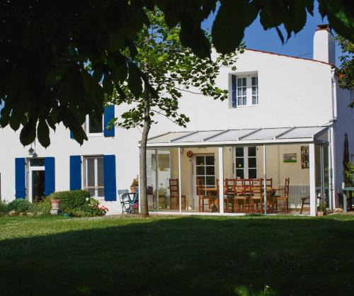
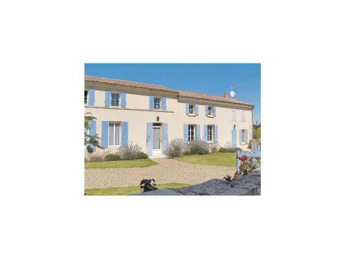
Bed and Breakfast : Maison d'Aliénor
Located in Taillebourg, Maison d'Aliénor is at the foots of the ramparts and 200 metres from the Charente River. It offers B&B accommodation, a terrace by the garden with sun be...
Rate : from 76.00 €
to 138.00 €
Contact : 37, rue Aliénor d'Aquitaine 17350 Taillebourg
Distance Bed and Breakfast - Le Mung : 6.74 km
|
|
|
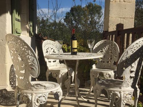
Bed and Breakfast : La Pertuzerie
A B&B located between Royan, La Rochelle and Saintes, La Pertuzerie is surrounded by a 4.5 acre park filled with trees and organic fields. Overlooking the garden, La Pertuzerie...
Price : from 59.00 €
to 96.00 €
Contact : La Pertuzerie 17350 Saint-Savinien
Distance Bed and Breakfast - Le Mung : 6.79 km
|
|
|
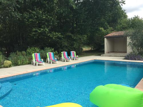
Bed and Breakfast : L'Oasis
Located between Ecurat and Port d'Envaux and a 40-minute drive from the beach, L'Oasis has an outdoor swimming pool, free WiFi and a garden overlooking the countryside and woods...
Prices : from 65.00 €
to 77.00 €
Address : 16 rue du Tumulus le Peux 17350 Port-dʼEnvaux
Distance Bed and Breakfast - Le Mung : 7.12 km
|
|
|
Guest accommodation : Holiday Home Romegoux Rue Des Tisserands
Set in Romegoux, Holiday Home Romegoux Rue Des Tisserands provides accommodation with a private pool. Guests may go for a swim in the outdoor pool. Royan is 36 km from the holi...
Contact : 17250 Romegoux
Distance Guest accommodation - Le Mung : 7.63 km
|
|
Find another hotel near Le Mung : Le Mung hotels list
|
Map of Le Mung
|
|
Map of Le Mung :
At right you can find the localization of Le Mung on the map of France. Below, this is the satellite map of Le Mung. A road map, and maps templates of Le Mung are available here : "road map of Le Mung". This map show Le Mung seen by the satellite of Google Map. To see the streets of Le Mung or move on another zone, use the buttons "zoom" and "map" on top of this dynamic map.
Search on the map of Le Mung :
To search hotels, housings, tourist information office, administrations or other services, use the Google search integrated to the map on the following page : "map Le Mung".
Hotels of Le Mung are listed on the map with the following icons: 
The map of Le Mung is centred in the following coordinates :
|

|
|
|
|
Print the map of Le Mung

Print the map of Le Mung : map of Le Mung
|
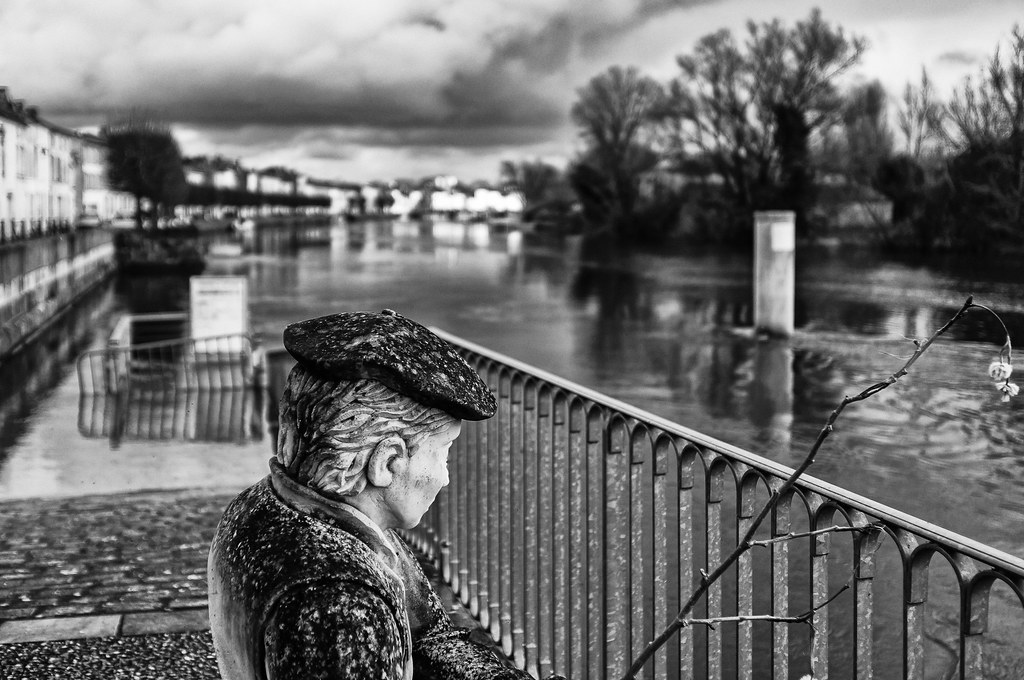
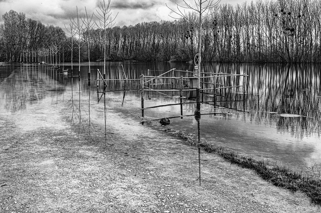
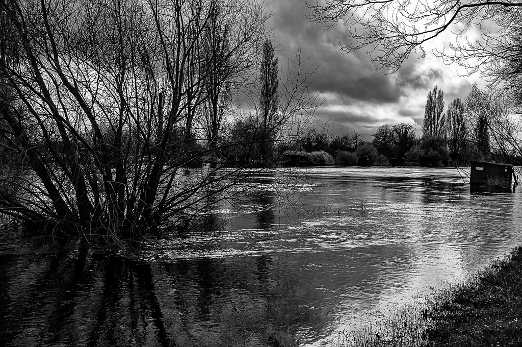
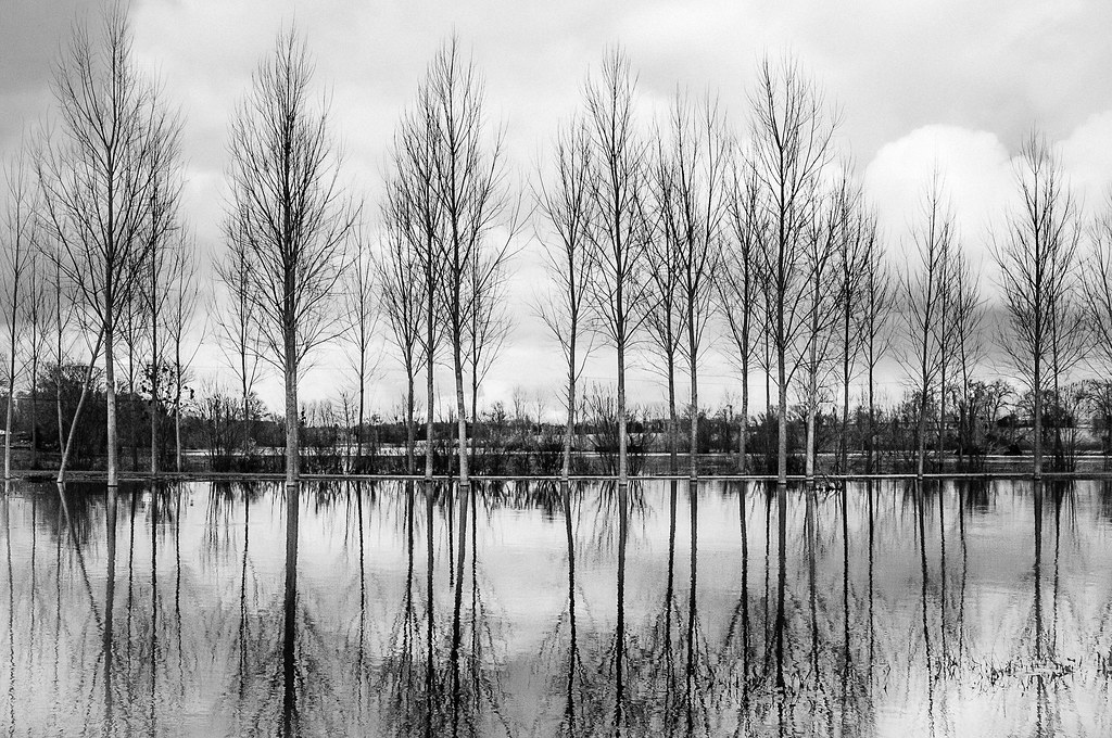
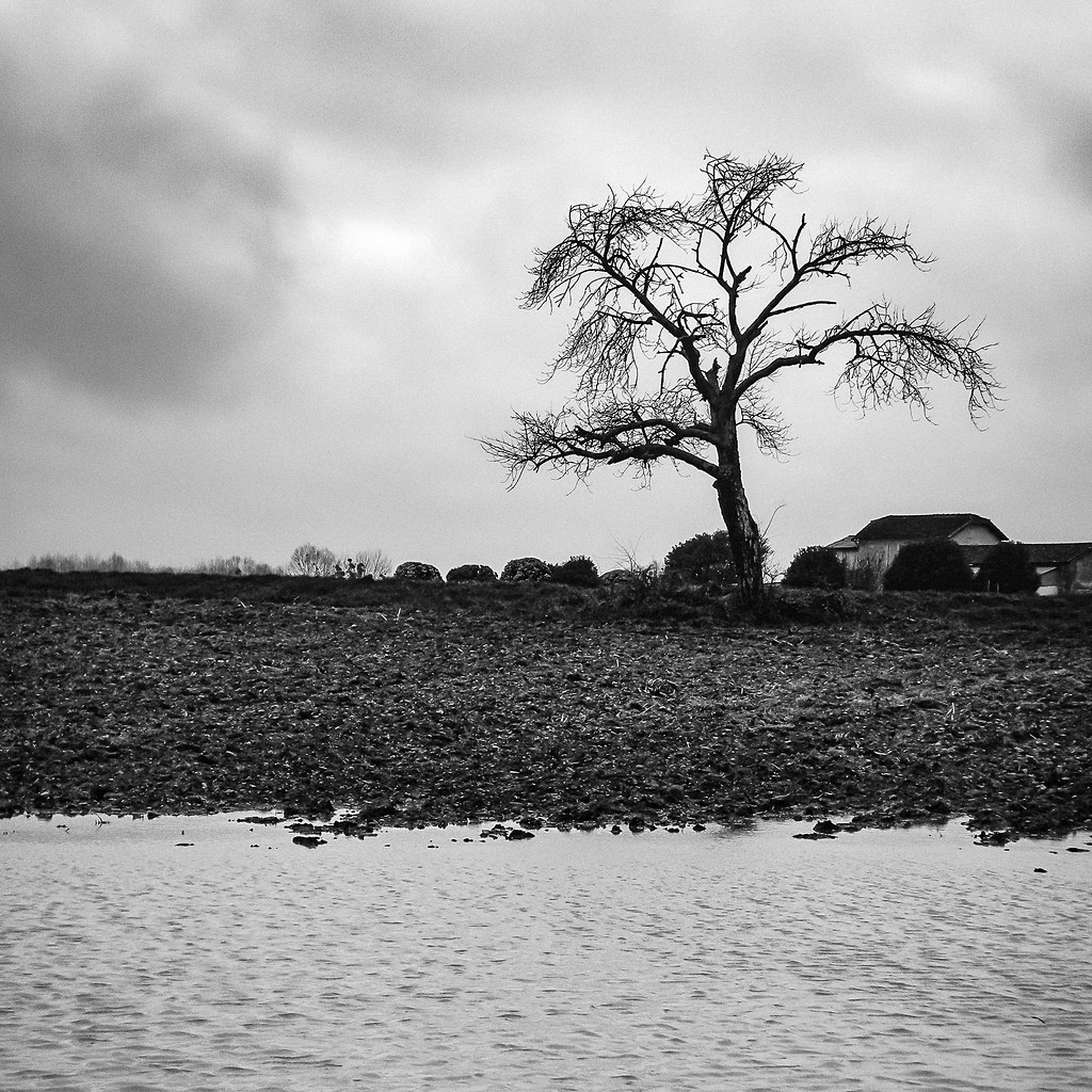
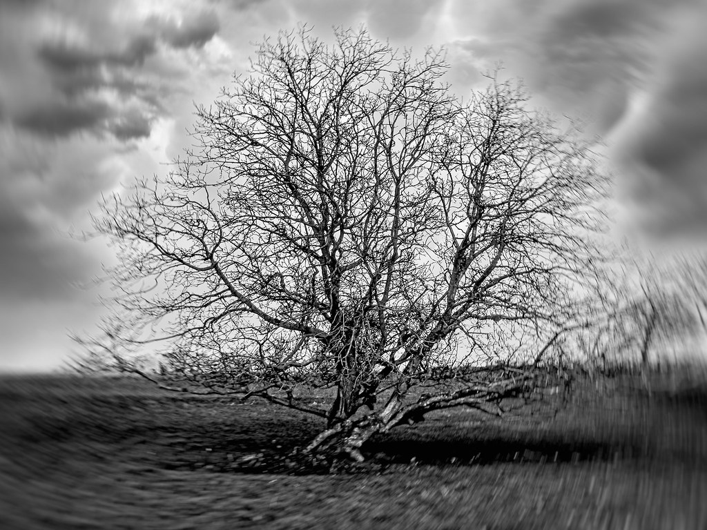
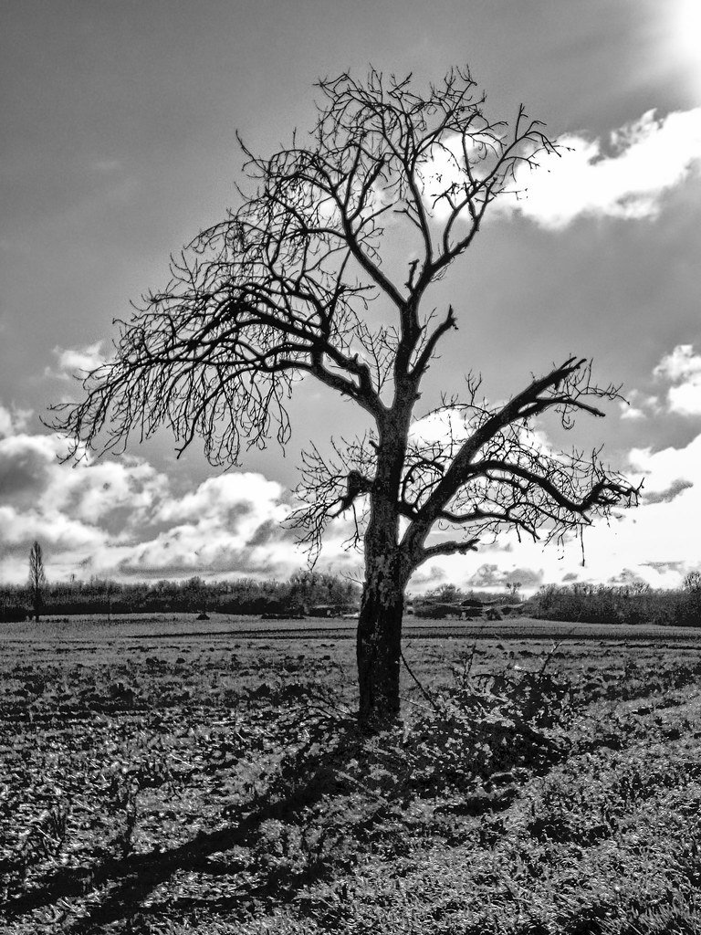
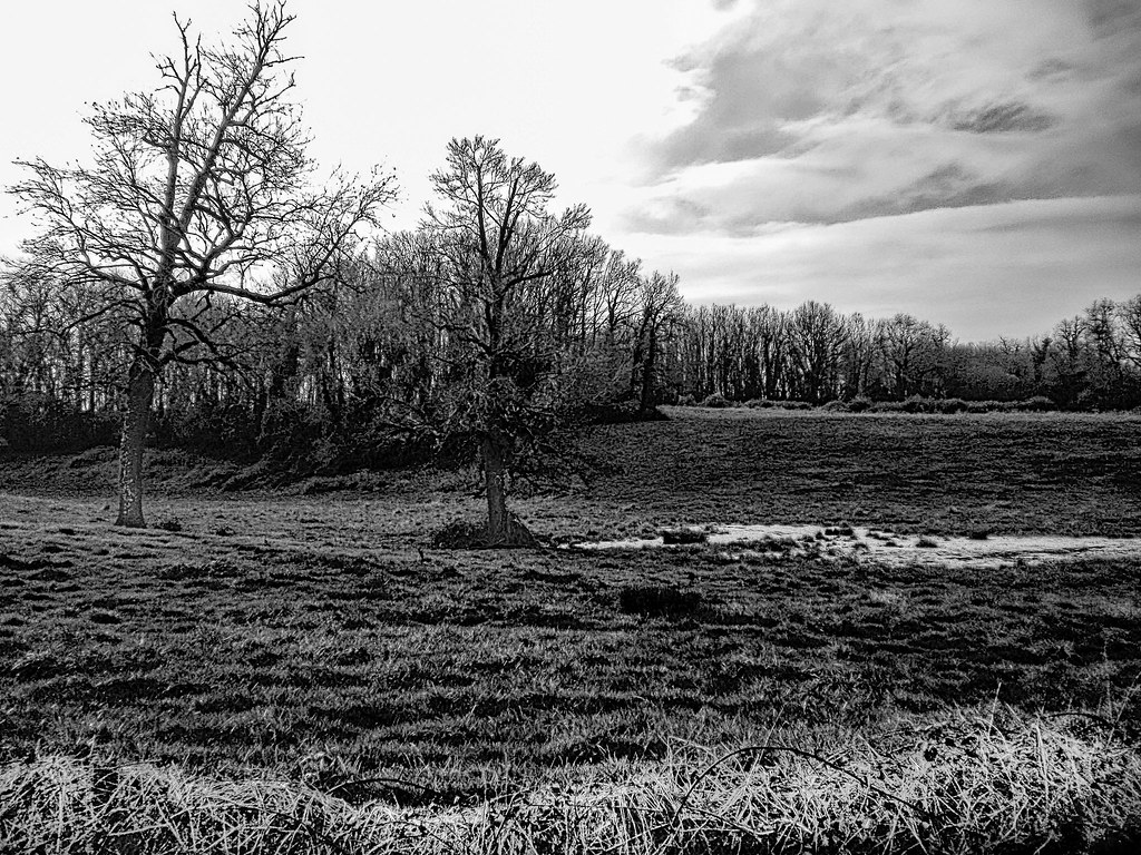
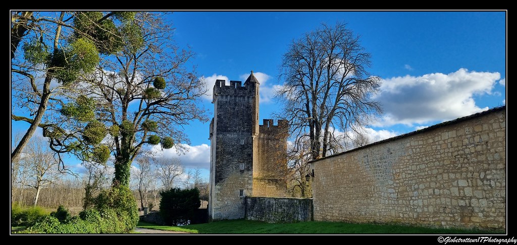
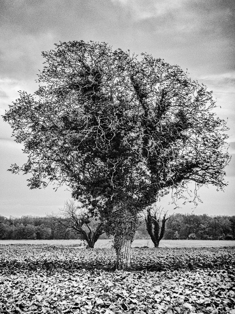
Photos Le Mung
|
See all photos of Le Mung :
Other photos of Le Mung and nearby towns can be found here: photos Le Mung
|
|
Le Mung weather forecast
Find next hours and 7 days weather forecast for Le Mung here : weather Le Mung (with english metrics)
This is the last weather forecast for Le Mung collected by the nearest observation station of Saint-Savinien.
Week Forecast:
The latest weather data for Le Mung were collected Thursday, 25 April 2024 at 09:00 from the nearest observation station of Saint-Savinien.
| Thursday, April 25th |
14°C 9°C
75%
91%
|
Rain
Temperature Max: 14°C Temperature Min: 9°C
Precipitation Probability: 75% (Rain)
Percentage of sky occluded by clouds: 91%
Wind speed: 14 km/h East
Humidity: 78%° UV Index: 3
Sunrise: 06:58 Sunset: 21:03 |
|
| | Friday, April 26th |
15°C 8°C
76%
87%
|
Drizzle
Temperature Max: 15°C Temperature Min: 8°C
Precipitation Probability: 76% (Rain)
Percentage of sky occluded by clouds: 87%
Wind speed: 14 km/h North-East
Humidity: 78%° UV Index: 3
Sunrise: 06:57 Sunset: 21:04 |
|
| | Saturday, April 27th |
17°C 8°C
81%
82%
|
Rain
Temperature Max: 17°C Temperature Min: 8°C
Precipitation Probability: 81% (Rain)
Percentage of sky occluded by clouds: 82%
Wind speed: 19 km/h North
Humidity: 79%° UV Index: 3
Sunrise: 06:55 Sunset: 21:05 |
|
| | Sunday, April 28th |
17°C 8°C
50%
48%
|
Partly cloudy
Temperature Max: 17°C Temperature Min: 8°C
Precipitation Probability: 50% (Rain)
Percentage of sky occluded by clouds: 48%
Wind speed: 15 km/h North-East
Humidity: 67%° UV Index: 4
Sunrise: 06:54 Sunset: 21:07 |
|
|
Attribution: 
|
|
Other maps, hotels and towns in france
Find another town, zip code, department, region, ...
Quick links Le Mung :
Make a link to this page of Le Mung with the following code :
|
|
|
 French Version : http://www.cartesfrance.fr/carte-france-ville/17252_Le Mung.html