Map of France

Le Tampon

French version French Version : http://www.cartesfrance.fr/carte-france-ville/97422_Le Tampon.html

Find a town, a zip code,
a department, a region... in France
I like Map-France.com !


City of Le Tampon


The city of Le Tampon is located in the department of La Réunion of the french region La Réunion. The city of Le Tampon is located in the district of Saint-Pierre. The area code for Le Tampon is 97422 (also known as code INSEE), and the Le Tampon zip code is 97430.

Geography and map of Le Tampon :

The altitude of the city hall of Le Tampon is approximately 1 353 meters. The Le Tampon surface is 165.43 km ². The latitude and longitude of Le Tampon are 21.278 degrees South and 55.515 degrees East. Nearby cities and towns of Le Tampon are : Entre-Deux (97414) at 5.69 km, Saint-Pierre (97410) at 8.08 km, Petite-Île (97429) at 8.90 km, Saint-Louis (97450) at 11.02 km, L'Étang-Salé (97427) at 15.42 km, Saint-Joseph (97480) at 15.50 km, Cilaos (97413) at 16.51 km, Les Avirons (97425) at 19.26 km.
(The distances to these nearby towns of Le Tampon are calculated as the crow flies)

Population and housing of Le Tampon :

The population of Le Tampon was 60 311 in 1999 and 70 539 in 2007. The population density of Le Tampon is 426.40 inhabitants per km². The number of housing of Le Tampon was 28 228 in 2007. These homes of Le Tampon consist of 24 874 main residences, 960 second or occasional homes and 2 395 vacant homes.
I like Le Tampon !
   

Administrative Information of Le Tampon
Region :La Réunion (4) Map of France regions
Departement :La Réunion (974) Map of France departments
 
District :Saint-Pierre 
 
Township : 
 
Area code :97422 
 
Zip code :97430 
Nearby towns of Le Tampon
Here are maps and information of the close municipalities near Le Tampon.
See all the towns of La Réunion (Distances are calculated as the crow flies)
Entre-Deux (974)  at 5.69 kmSaint-Pierre (974)  at 8.08 km
Petite-Île (974)  at 8.90 kmSaint-Louis (974)  at 11.02 km
L'Étang-Salé (974)  at 15.42 kmSaint-Joseph (974)  at 15.50 km
Cilaos (974)  at 16.51 kmLes Avirons (974)  at 19.26 km
La Plaine-des-Palmistes (974)  at 19.57 kmSaint-Leu (974)  at 26.71 km
Saint-Philippe (974)  at 27.65 kmSalazie (974)  at 27.92 km
Les Trois-Bassins (974)  at 29.78 kmSainte-Rose (974)  at 33.22 km
Saint-Benoît (974)  at 33.98 kmBras-Panon (974)  at 35.56 km
Saint-André (974)  at 37.96 kmSaint-Paul (974)  at 39.20 km
Sainte-Suzanne (974)  at 42.46 kmSainte-Marie (974)  at 42.49 km

Geography of Le Tampon
Area :165.43 km² (16 543 hectares) 
Minimum altitude : 287 m  
Maximum altitude : 2 418 m  
Average altitude : 1 353 m  
Altitude of the city hall : 1 353 m Map France physical
Sexagesimal geographical coordinates (WGS84): Latitude: 21° 16' 41'' South
Longitude: 55° 30' 55'' East
Decimal geographical coordinates : Latitude: -21.278 degrees (21.278° South)
Longitude: 55.515 degrees (55.515° East)

Population and housings of Le Tampon
Inhabitants in 1999 :60 311 inhabitants 
Inhabitants in 2007 :70 539 inhabitants 
Population data :Population Le Tampon
Population density : 426.40 hab/km² Map of France population density
Variation of population density : +1.98 %/year variation of population density of France
Housings in 1999 :21 587 logements 
Housings in 2007 :28 228 logements 
Housings data :Housing Le Tampon


Hotel Le Tampon

Search hotels near Le Tampon : Book your hotel now !

Where ? 

Check-in date 
calendar
Check-out date 
calendar


Map of Le Tampon


Map of Le Tampon :

At right you can find the localization of Le Tampon on the map of France. Below, this is the satellite map of Le Tampon.. This map show Le Tampon seen by the satellite of Google Map. To see the streets of Le Tampon or move on another zone, use the buttons "zoom" and "map" on top of this dynamic map.

Search on the map of Le Tampon :

To search hotels, housings, tourist information office, administrations or other services, use the Google search integrated to the map on the following page : "map Le Tampon".
Hotels of Le Tampon are listed on the map with the following icons: hotel Le Tampon

The map of Le Tampon is centred in the following coordinates :

Latitude :   Longitude :   


Print the map of Le Tampon


Print the map of Le Tampon : map of Le Tampon
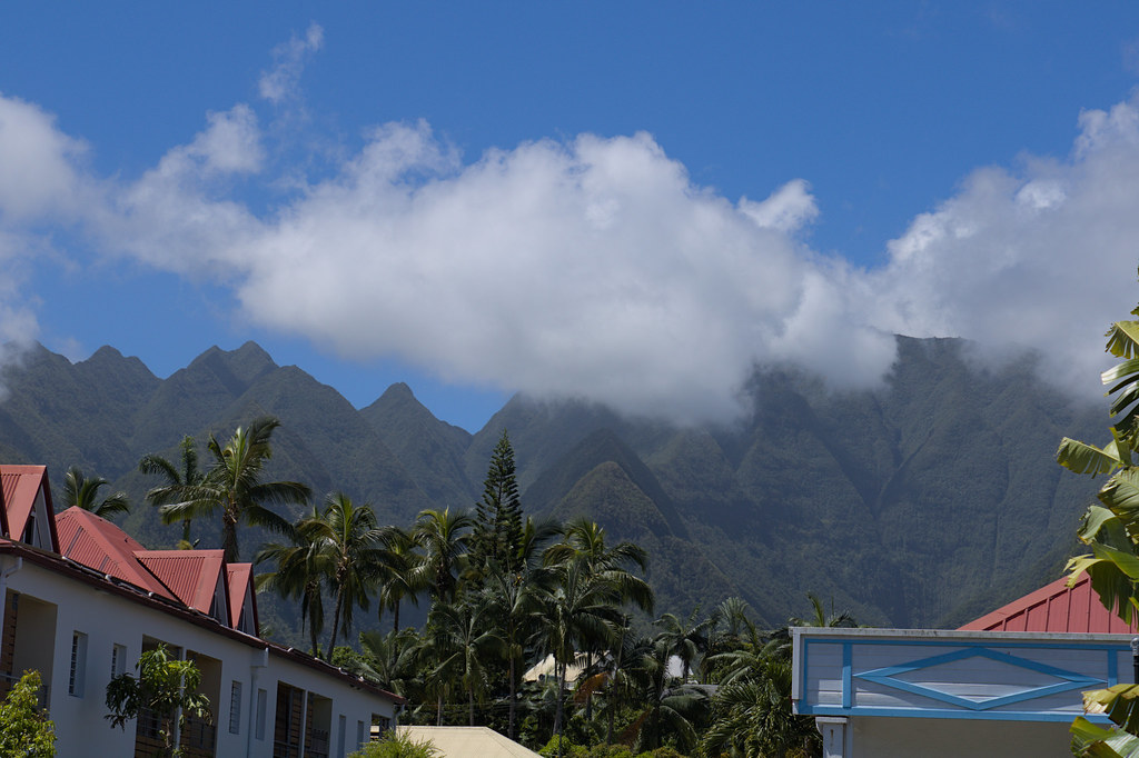
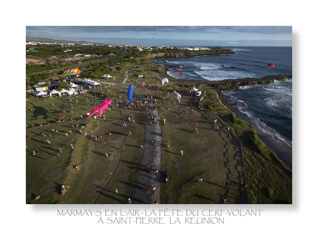
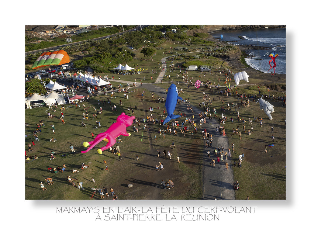
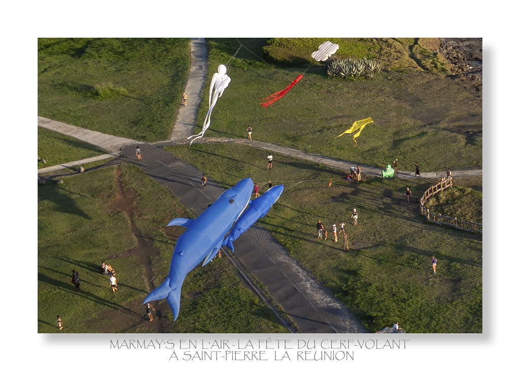
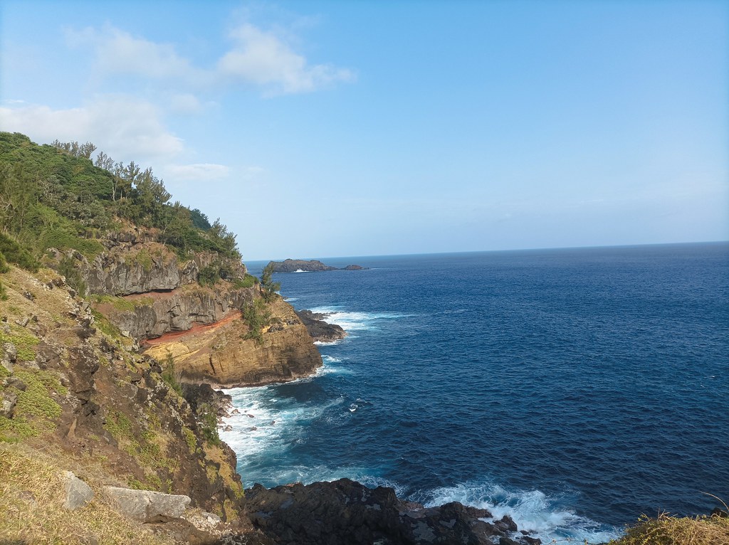
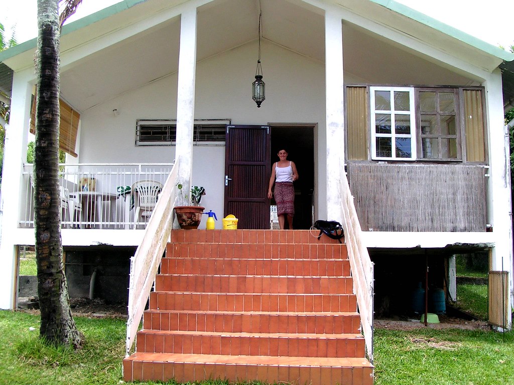
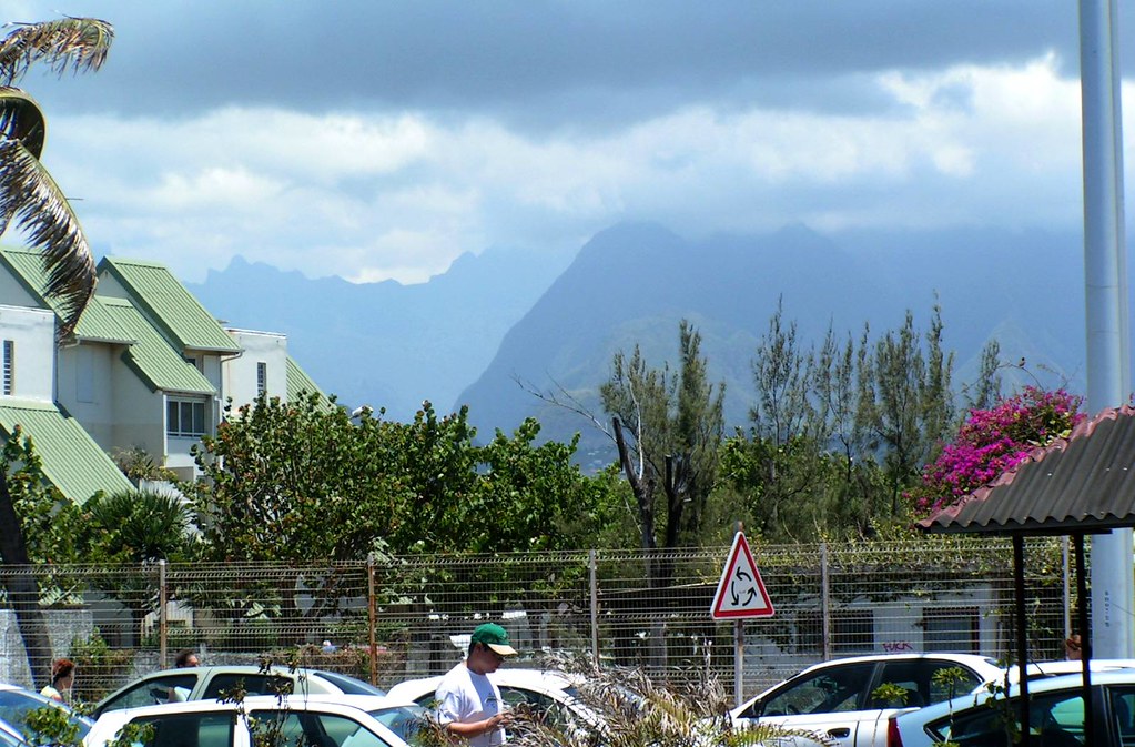
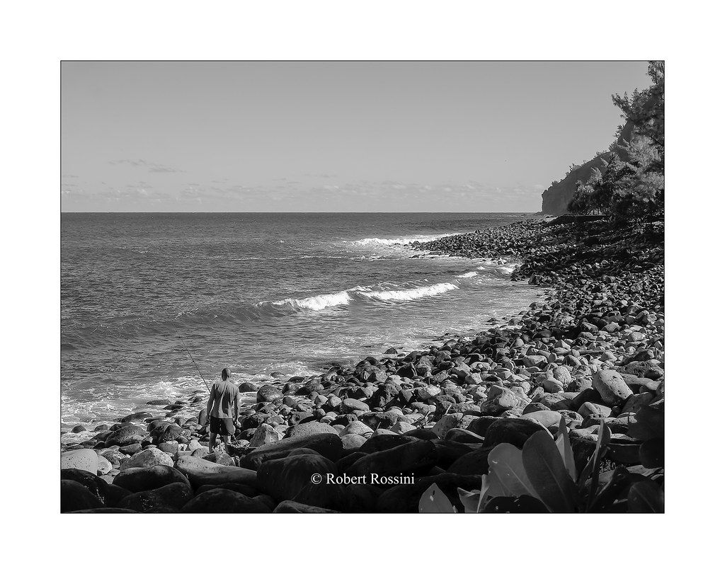
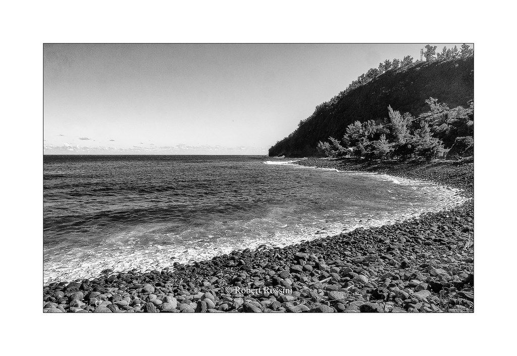


Photos Le Tampon

See all photos of Le Tampon :

Other photos of Le Tampon and nearby towns can be found here: photos Le Tampon
These photos taken near the city of Le Tampon can be shown in full screen clicking on the thumbnails. Photos are copyrighted by their owners.

Remparts - Photo of Le Tampon
Remparts

3ième Rencontres Internationales de Cerfs Volants de La Réunion - Photo of Le Tampon
3ième Rencontres Internationales de Cerfs Volants de La Réunion

3ième Rencontres Internationales de Cerfs Volants de La Réunion - Photo of Le Tampon
3ième Rencontres Internationales de Cerfs Volants de La Réunion

3ième Rencontres Internationales de Cerfs Volants de La Réunion - Photo of Le Tampon
3ième Rencontres Internationales de Cerfs Volants de La Réunion

Harpa amouretta - Photo of Le Tampon
Harpa amouretta

Grande anse - Photo of Le Tampon
Grande anse

Jacaranda mimosifolia - Photo of Le Tampon
Jacaranda mimosifolia

Paracirrhites arcatus - Photo of Le Tampon
Paracirrhites arcatus

20050130-12h28Em45_Roland Garros le 22 - Photo of Le Tampon
20050130-12h28Em45_Roland Garros le 22

20060114-11h43Em7303_Marche St Pierre - Photo of Le Tampon
20060114-11h43Em7303_Marche St Pierre

pêcheur à  Manapany les Bains - Photo of Le Tampon
pêcheur à Manapany les Bains

2019-365-40  #nikonpassion365 - Photo of Le Tampon
2019-365-40 #nikonpassion365

20070130-11h05Em3127_Cameleon - Photo of Le Tampon
20070130-11h05Em3127_Cameleon

plage de galets de Manapany les Bains - Photo of Le Tampon
plage de galets de Manapany les Bains


Le Tampon weather forecast

Find next hours and 7 days weather forecast for Le Tampon here : weather Le Tampon (with english metrics)
This is the last weather forecast for Le Tampon collected by the nearest observation station of Saint-Pierre.

Week Forecast:


The latest weather data for Le Tampon were collected Thursday, 25 April 2024 at 09:00 from the nearest observation station of Saint-Pierre.

Thursday, April 25th

28°C     22°C

47%
 44%


Mostly clear

Temperature Max: 28°C    Temperature Min: 22°C
Precipitation Probability: 47% (Rain)
Percentage of sky occluded by clouds: 44%
Wind speed: 6 km/h North
Humidity: 76%°        UV Index: 7
Sunrise: 04:33     Sunset: 15:58

Friday, April 26th

28°C     21°C

32%
 44%


Partly cloudy

Temperature Max: 28°C    Temperature Min: 21°C
Precipitation Probability: 32% (Rain)
Percentage of sky occluded by clouds: 44%
Wind speed: 5 km/h North
Humidity: 75%°        UV Index: 7
Sunrise: 04:34     Sunset: 15:57

Saturday, April 27th

28°C     21°C

36%
 53%


Partly cloudy

Temperature Max: 28°C    Temperature Min: 21°C
Precipitation Probability: 36% (Rain)
Percentage of sky occluded by clouds: 53%
Wind speed: 5 km/h North-East
Humidity: 73%°        UV Index: 6
Sunrise: 04:34     Sunset: 15:56

Sunday, April 28th

28°C     21°C

42%
 49%


Partly cloudy

Temperature Max: 28°C    Temperature Min: 21°C
Precipitation Probability: 42% (Rain)
Percentage of sky occluded by clouds: 49%
Wind speed: 10 km/h North-West
Humidity: 74%°        UV Index: 7
Sunrise: 04:34     Sunset: 15:56

Attribution:             


Other maps, hotels and towns in france


Find another town, zip code, department, region, ...


Quick links Le Tampon :


Make a link to this page of Le Tampon with the following code :


Map of France | Regions | Departments | Cities | Partners | Terms | Contact