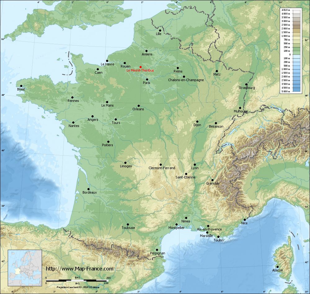
Le Mesnil-Théribus on the relief France map in Lambert 93 coordinates
|
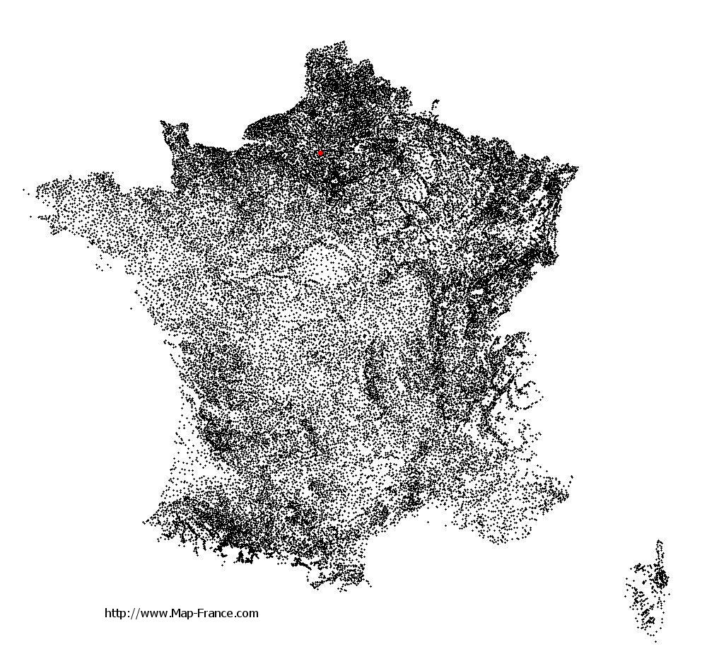
See the map of Le Mesnil-Théribus in full screen (1000 x 949)
|
At left, here is the location of Le Mesnil-Théribus on the relief France map in Lambert 93 coordinates.
Here are the altitudes of Le Mesnil-Théribus :
- Town hall altitude of Le Mesnil-Théribus is 150 meters
- Minimum altitude of Le Mesnil-Théribus is 119 meters
- Maximum altitude of Le Mesnil-Théribus is 198 meters
- Medium altitude of Le Mesnil-Théribus is 159 meters
Here are the altitudes of Beauvais, prefecture of Oise department:
- Town hall altitude of Beauvais is 67 meters
- Minimum altitude of Beauvais is 57 meters
- Maximum altitude of Beauvais is 170 meters
- Medium altitude of Beauvais is 114 meters
Here are the altitudes of the french biggest cities:
Paris : 33 meters
Marseille : 20 meters
Lyon : 237 meters
Toulouse : 146 meters
Nice : 10 meters
Nantes : 20 meters
Strasbourg : 144 meters
Montpellier : 35 meters
Bordeaux : 16 meters
Lille : 20 meters
Rennes : 35 meters
Reims : 83 meters
Click here for the terrain map of Le Mesnil-Théribus in full screen:
Relief map of Le Mesnil-Théribus
|
This relief map of Le Mesnil-Théribus is reusable and modifiable by making a link to this page of the Map-France.com website or by using the given code :
|
Terrain base map of Le Mesnil-Théribus
|

See the terrain base map of Le Mesnil-Théribus in full screen (1000 x 949)
|
Small relief base map of Le Mesnil-Théribus

|
This base map of Le Mesnil-Théribus is reusable and modifiable by making a link to this page of the Map-France.com website or by using the given code :
|
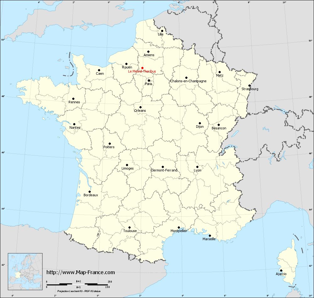
Map of Le Mesnil-Théribus with regions and prefectures
|
View the map of Le Mesnil-Théribus in full screen (1000 x 949)
|
You will find the location of Le Mesnil-Théribus on the map of France of regions in Lambert 93 coordinates. The town of Le Mesnil-Théribus is located in the department of Oise of the french region Picardie.
Geographical sexagesimal coordinates / GPS (WGS84):
Latitude: 49° 18' 03'' North
Longitude: 01° 59' 14'' East
Geographical decimal coordinates :
Latitude: 49.302 degrees (49.302° North)
Longitude: 1.986 degrees (1.986° East)
Lambert 93 coordinates :
X: 6 263 hectometers
Y: 69 117 hectometers
Lambert 2 coordinates :
X: 5 746 hectometers
Y: 24 782 hectometers
Below, the geographical coordinates of Beauvais, prefecture of the Oise department:
Geographical sexagesimal coordinates / GPS (WGS84):
Latitude: 49° 26' 03'' North
Longitude: 02° 05' 15'' East
Geographical decimal coordinates :
Latitude: 49.435 degrees (49.435° North)
Longitude: 2.082 degrees (2.082° East)
Lambert 93 coordinates :
X: 6 338 hectometers
Y: 69 265 hectometers
Lambert 2 coordinates :
X: 5 819 hectometers
Y: 24 930 hectometers
|
This map of Le Mesnil-Théribus is reusable and modifiable by making a link to this page of the Map-France.com website or by using the given code :
|
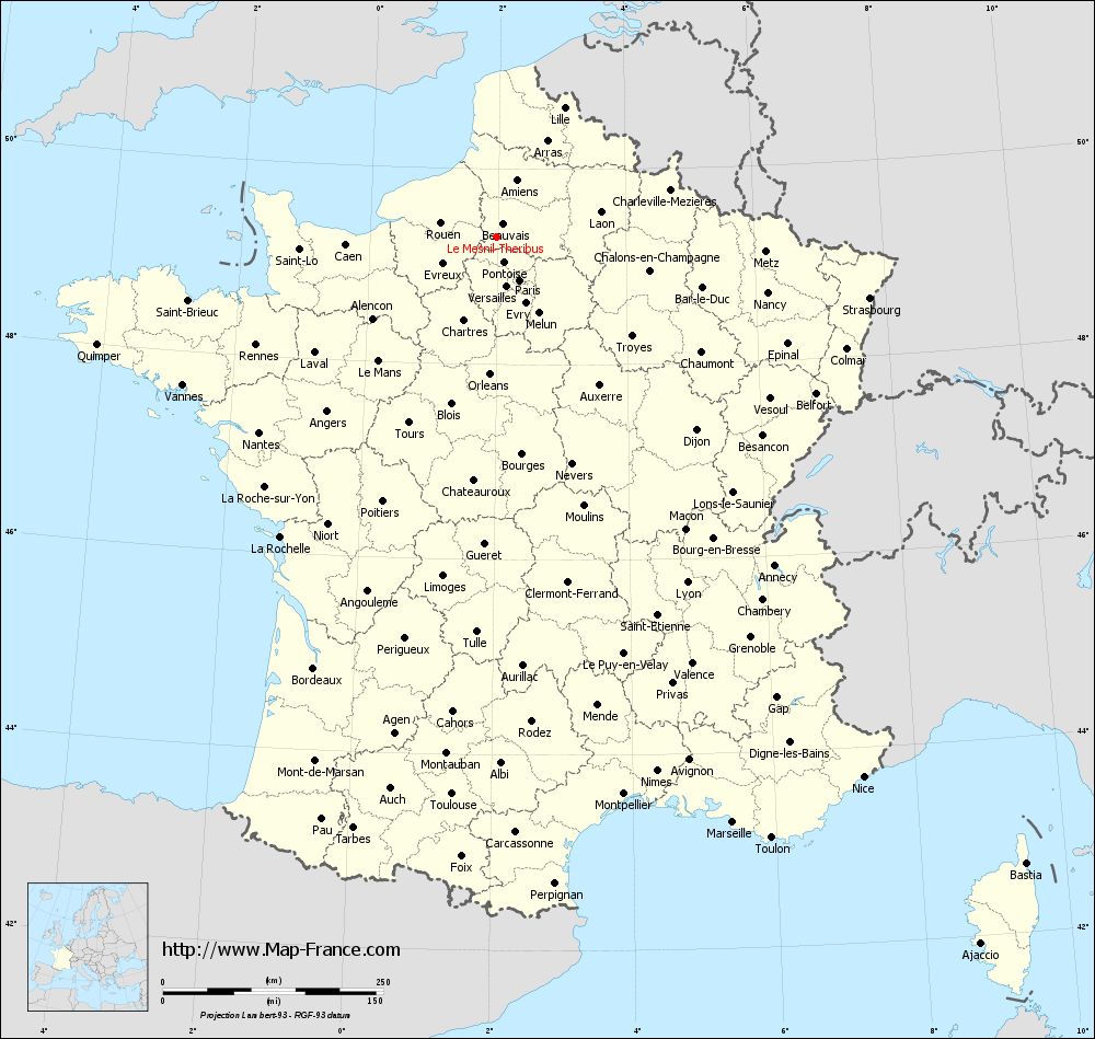
Map of Le Mesnil-Théribus with departments and prefectures
|
Voir la carte of Le Mesnil-Théribus en grand format (1000 x 949)
|
Here is the localization of Le Mesnil-Théribus on the France map of departments in Lambert 93 coordinates. The city of Le Mesnil-Théribus is shown on the map by a red point.
The town of Le Mesnil-Théribus is located in the department of Oise of the french region Picardie.
The latitude of Le Mesnil-Théribus is 49.302 degrees North.
The longitude of Le Mesnil-Théribus is 1.986 degrees East.
Here the distance between Le Mesnil-Théribus and the biggest cities of France:
Distances are calculated as the crow flies (orthodromic distance)
Distance between Le Mesnil-Théribus and Paris : 55.55 kilometers
Distance between Le Mesnil-Théribus and Marseille : 716.54 kilometers
Distance between Le Mesnil-Théribus and Lyon : 447.75 kilometers
Distance between Le Mesnil-Théribus and Toulouse : 634.81 kilometers
Distance between Le Mesnil-Théribus and Nice : 740.77 kilometers
Distance between Le Mesnil-Théribus and Nantes : 349.33 kilometers
Distance between Le Mesnil-Théribus and Strasbourg : 428.45 kilometers
Distance between Le Mesnil-Théribus and Montpellier : 648.76 kilometers
Distance between Le Mesnil-Théribus and Bordeaux : 531.84 kilometers
Distance between Le Mesnil-Théribus and Lille : 165.67 kilometers
Distance between Le Mesnil-Théribus and Rennes : 299.70 kilometers
Distance between Le Mesnil-Théribus and Reims : 148.36 kilometers
Clic here to see the map of Le Mesnil-Théribus in full screen:
Le Mesnil-Théribus on the map of french departments
|
This administrative map of Le Mesnil-Théribus is reusable and modifiable by making a link to this page of the Map-France.com website or by using the given code :
|
Administrative base maps of Le Mesnil-Théribus
|

See the administrative base map of Le Mesnil-Théribus in full screen (1000 x 949)
|
Small administrative base map of Le Mesnil-Théribus
|
This base map administrative of Le Mesnil-Théribus is reusable and modifiable by making a link to this page of the Map-France.com website or by using the given code :
|
 French Version : http://www.cartesfrance.fr