|
The village of Les Hays is a small village located east of France. The town of Les Hays is located in the department of Jura of the french region Franche-Comté. The town of Les Hays is located in the township of Chaussin part of the district of Dole. The area code for Les Hays is 39266 (also known as code INSEE), and the Les Hays zip code is 39120.
Geography and map of Les Hays :
The altitude of the city hall of Les Hays is approximately 212 meters. The Les Hays surface is 6.80 km ². The latitude and longitude of Les Hays are 46.901 degrees North and 5.386 degrees East.
Nearby cities and towns of Les Hays are :
Les Essards-Taignevaux (39120) at 2.44 km, Rye (39230) at 4.68 km, Neublans-Abergement (39120) at 4.70 km, Chaînée-des-Coupis (39120) at 4.83 km, Mouthier-en-Bresse (71270) at 4.85 km, Petit-Noir (39120) at 5.13 km, Sergenon (39120) at 5.16 km, Asnans-Beauvoisin (39120) at 5.42 km.
(The distances to these nearby towns of Les Hays are calculated as the crow flies)
Population and housing of Les Hays :
The population of Les Hays was 271 in 1999, 257 in 2006 and 263 in 2007. The population density of Les Hays is 38.68 inhabitants per km². The number of housing of Les Hays was 160 in 2007. These homes of Les Hays consist of 116 main residences, 25 second or occasional homes and 18 vacant homes. |
|
|
Hotel Les Hays
|
|
|
Book now ! Best Price Guaranteed, no booking fees, pay at the hotel with our partner Booking.com, leader in online hotel reservation.
Find all hotels of Les Hays : Hotel Les Hays
| |
|
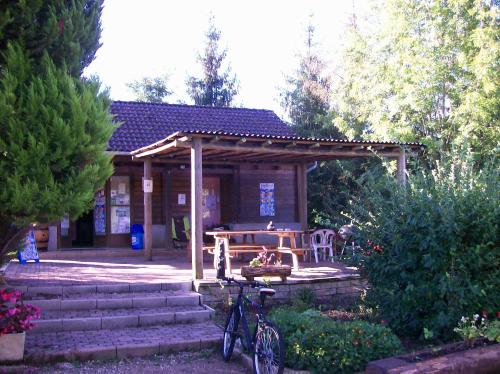
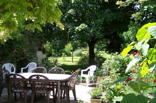
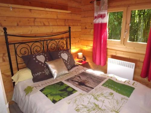
Guest accommodation : Camping Le Canoë

Camping Le Canoë is located in the bird-watching Natura Zone 2000, on the banks of the Doubs River. It offers self-catering accommodation in caravans and tipis, and specialises ...
Address : Route de Longwy 39120 Chaussin
Distance Guest accommodation - Les Hays : 6.97 km
|
|
|
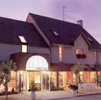
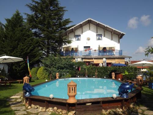
Set between the Jura Mountains, Bresse and Burgundy, the hotel welcomes you in a picturesque family-run establishment. Logis De France Chez Bach enjoys a peaceful location in a...
Price : from 72.00 €
to 98.00 €
Contact : 4 Place De L'ancienne Gare 39120 Chaussin
Distance Hotel - Les Hays : 7.52 km
|
|
|
Bed and Breakfast : L'auberge de Chaussin
L'Auberge de Chaussin is located in Chaussin, just 20 km from Dole and a 50-minture drive from Beaune. Guests can relax on the garden terrace or enjoy a drink at the bar. The r...
Prices : from 53.00 €
Contact : 34 rue Simone Michel Levy 39120 Chaussin
Distance Bed and Breakfast - Les Hays : 7.62 km
|
|
|
Bed and Breakfast : Maison Aux Beaux Chemins
Offering a barbecue and views of the city, Maison Aux Beaux Chemins is situated in Beauchemin, in the Franche-Comté Region, 44 km from Dijon. Free WiFi is offered throughout the...
Rate : from 40.00 €
Contact : 62 Route nationale, 39120 Chemin, France 39120 Annoire
Distance Bed and Breakfast - Les Hays : 10.04 km
|
|
|
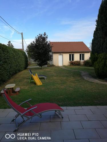
Guest accommodation : Gite Le Petit Pied-à-Terre

Located in La Chapelle-Saint-Sauveur, Gite Le Petit Pied-à-Terre offers a self-catering cottage with a private garden and a terrace. Chalon-sur-Saône is a 40-minute drive away. ...
Price : from 60.00 €
to 100.00 €
Address : 483 rue de l'Église (La Chapelle-Saint-Sauveur) 71310 La Chapelle-Saint-Sauveur
Distance Guest accommodation - Les Hays : 10.55 km
|
|
|
Bed and Breakfast : Chambres d'hôtes de la Motte
Located between the Burgundy and the Jura regions, Chambres d'hôtes de la Motte offers a garden with a vegetable patch and a terrace, a continental breakfast, and Wi-Fi is free ...
Contact : 10 rue de la Motte 39120 Annoire
Distance Bed and Breakfast - Les Hays : 10.79 km
|
|

|
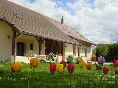
Guest accommodation : chambres d'hôte Le Marronnier
Set in Champrougier, chambres d'hôte Le Marronnier features free bikes, seasonal outdoor swimming pool and BBQ facilities. This 3-star guest house offers a shared kitchen and fr...
Rate : from 80.00 €
to 130.00 €
Contact : 28 route des étangs 39230 Champrougier
Distance Guest accommodation - Les Hays : 10.89 km
|
|
|
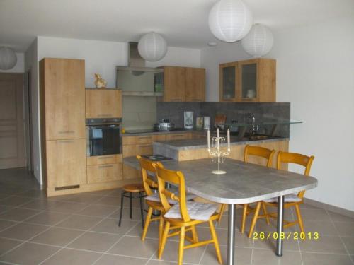
Guest accommodation : le chalet
Located in Névy-lès-Dole in the Franche-Comté region, le chalet has a garden. The property features river views. The chalet includes 3 bedrooms and a kitchen with an oven and a...
Contact : Chemin de la graviere 39380 Névy-lès-Dole
Distance Guest accommodation - Les Hays : 15.38 km
|
|
|
Bed and Breakfast : Chambres d'hotes La Maison Bleue
This guest house is situated in Souvans in the Franche-Comté region. It is set within a garden and offers free Wi-Fi, a wellness centre and an outdoor swimming pool lined with a...
Prices : from 64.60 €
to 118.00 €
Address : 38, rue Adolphe Brune 39380 Souvans
Distance Bed and Breakfast - Les Hays : 15.80 km
|
|

|
Bed and Breakfast : La Bonardière
Located in Gevry, La Bonardière provides free WiFi, and guests can enjoy a garden and a terrace. A continental breakfast is available daily at the property. Dijon is 49 km fro...
Rate : from 65.00 €
to 73.60 €
Contact : 3 Rue Du Puits 39100 Gevry
Distance Bed and Breakfast - Les Hays : 15.92 km
|
|
Find another hotel near Les Hays : Les Hays hotels list
|
Map of Les Hays
|
|
Map of Les Hays :
At right you can find the localization of Les Hays on the map of France. Below, this is the satellite map of Les Hays. A road map, and maps templates of Les Hays are available here : "road map of Les Hays". This map show Les Hays seen by the satellite of Google Map. To see the streets of Les Hays or move on another zone, use the buttons "zoom" and "map" on top of this dynamic map.
Search on the map of Les Hays :
To search hotels, housings, tourist information office, administrations or other services, use the Google search integrated to the map on the following page : "map Les Hays".
Hotels of Les Hays are listed on the map with the following icons: 
The map of Les Hays is centred in the following coordinates :
|

|
|
|
|
Print the map of Les Hays

Print the map of Les Hays : map of Les Hays
|
Photos Les Hays
|
See all photos of Les Hays :
Other photos of Les Hays and nearby towns can be found here: photos Les Hays
|
|
Les Hays weather forecast
Find next hours and 7 days weather forecast for Les Hays here : weather Les Hays (with english metrics)
This is the last weather forecast for Les Hays collected by the nearest observation station of Chaussin.
Week Forecast:
The latest weather data for Les Hays were collected Thursday, 25 April 2024 at 09:00 from the nearest observation station of Chaussin.
| Thursday, April 25th |
12°C 2°C
20%
66%
|
Mostly cloudy
Temperature Max: 12°C Temperature Min: 2°C
Precipitation Probability: 20% (Rain)
Percentage of sky occluded by clouds: 66%
Wind speed: 9 km/h North-East
Humidity: 68%° UV Index: 3
Sunrise: 06:32 Sunset: 20:41 |
|
| | Friday, April 26th |
14°C 7°C
65%
92%
|
Drizzle
Temperature Max: 14°C Temperature Min: 7°C
Precipitation Probability: 65% (Rain)
Percentage of sky occluded by clouds: 92%
Wind speed: 16 km/h North
Humidity: 83%° UV Index: 3
Sunrise: 06:30 Sunset: 20:42 |
|
| | Saturday, April 27th |
18°C 8°C
44%
87%
|
Cloudy
Temperature Max: 18°C Temperature Min: 8°C
Precipitation Probability: 44% (Rain)
Percentage of sky occluded by clouds: 87%
Wind speed: 9 km/h North
Humidity: 66%° UV Index: 3
Sunrise: 06:29 Sunset: 20:44 |
|
| | Sunday, April 28th |
14°C 9°C
78%
99%
|
Rain
Temperature Max: 14°C Temperature Min: 9°C
Precipitation Probability: 78% (Rain)
Percentage of sky occluded by clouds: 99%
Wind speed: 8 km/h North
Humidity: 85%° UV Index: 3
Sunrise: 06:27 Sunset: 20:45 |
|
|
Attribution: 
|
|
Other maps, hotels and towns in france
Find another town, zip code, department, region, ...
Quick links Les Hays :
Make a link to this page of Les Hays with the following code :
|
|
|
 French Version : http://www.cartesfrance.fr/carte-france-ville/39266_Les Hays.html