|
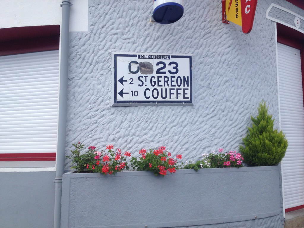
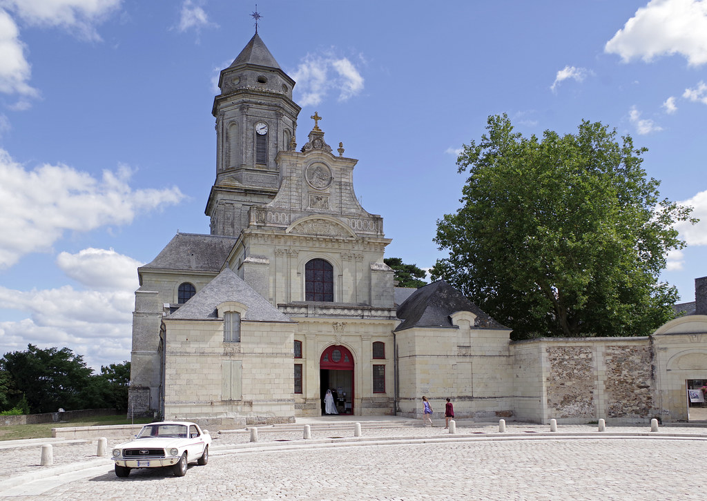
The city of Liré is a small town located north west of France. The city of Liré is located in the department of Maine-et-Loire of the french region Pays de la Loire. The city of Liré is located in the township of Champtoceaux part of the district of Cholet. The area code for Liré is 49177 (also known as code INSEE), and the Liré zip code is 49530.
Geography and map of Liré :
The altitude of the city hall of Liré is approximately 50 meters. The Liré surface is 31.81 km ². The latitude and longitude of Liré are 47.345 degrees North and 1.161 degrees West.
Nearby cities and towns of Liré are :
Ancenis (44150) at 3.10 km, Drain (49530) at 3.38 km, Bouzillé (49530) at 3.91 km, Saint-Géréon (44150) at 3.95 km, Anetz (44150) at 6.08 km, Saint-Laurent-des-Autels (49270) at 6.84 km, Le Marillais (49410) at 6.91 km, Le Fuilet (49270) at 7.76 km.
(The distances to these nearby towns of Liré are calculated as the crow flies)
Population and housing of Liré :
The population of Liré was 2 164 in 1999, 2 349 in 2006 and 2 377 in 2007. The population density of Liré is 74.72 inhabitants per km². The number of housing of Liré was 1 095 in 2007. These homes of Liré consist of 980 main residences, 44 second or occasional homes and 71 vacant homes. |
|
|
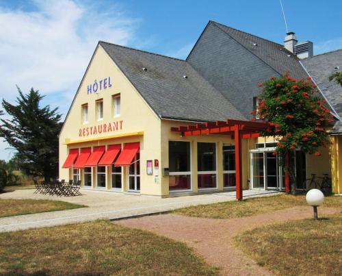
Hotel Liré
|
|
|
Book now ! Best Price Guaranteed, no booking fees, pay at the hotel with our partner Booking.com, leader in online hotel reservation.
Find all hotels of Liré : Hotel Liré
| |
|
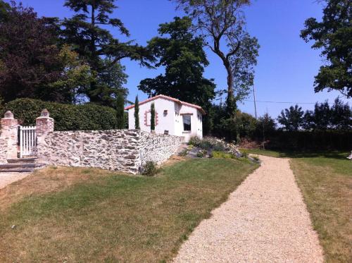
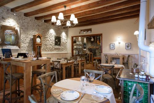
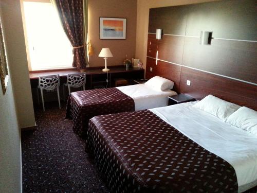
Bed and Breakfast : Domaine du Chêne Crucy
Domaine du Chêne Crucy is set in a large park, located 4 km from the town of Ancenis. Breakfast is included and the spacious room includes facilities for making hot drinks. The ...
Rate : from 75.00 €
Address : Le Chêne 49530 Liré
Distance Bed and Breakfast - Liré : 0.90 km
|
|
|
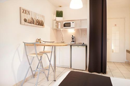
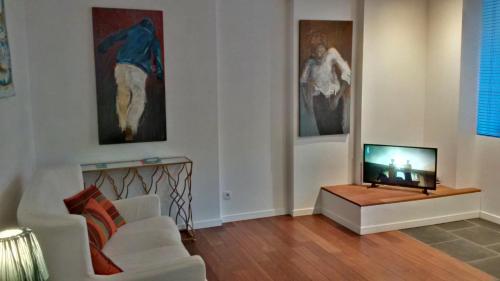
Guest accommodation : Résidence Les Douves
Located in Ancenis, just opposite the medieval castle, Résidence Les Douves offers self-catering studios with a flat-screen TV. Nantes is only a 40-minute drive away. All studi...
Price : from 69.00 €
to 99.00 €
Contact : 77 rue des Douves 44150 Ancenis
Distance Guest accommodation - Liré : 2.51 km
|
|
|
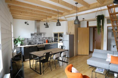
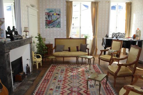
Guest accommodation : Loire Escale
Loire Escale offers elegantly-decorated accommodation in Ancenis, only 80 metres from the Loire's banks and a few steps from the local castle. Guests can read a book from the li...
Prices : from 65.00 €
to 115.00 €
Contact : 51 Ruelle des Trois Marchands 44150 Ancenis
Distance Guest accommodation - Liré : 2.53 km
|
|
|
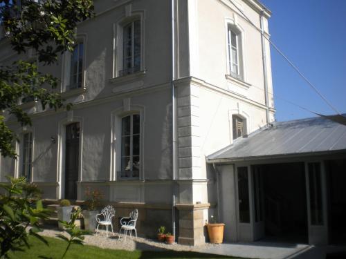
Guest accommodation : L'hotellerie de la toile à beurre
Located in Ancenis in the Pays de la Loire region, L'hotellerie de la toile à beurre offers accommodation with free WiFi. Some units also have a kitchenette equipped with a mic...
Rate : from 65.00 €
to 105.00 €
Contact : 82 rue saint pierre 44150 Ancenis
Distance Guest accommodation - Liré : 2.63 km
|
|
|
Apartment : Les pénates de Loire

Situated in Ancenis, just 450 metres from Ancenis Train Station, Les pénates de Loire offers accommodation with a terrace and kitchen. This property offers both WiFi and private...
Price : from 62.00 €
to 120.00 €
Address : 34 rue d' Anjou 44150 Ancenis
Distance Apartment - Liré : 2.65 km
|
|
|
Bed and Breakfast : Loire-Séjours
Set in a large period house in the historic centre of Ancenis, Loire-Séjours B&B welcomes both business and leisure travellers, and is located just a 2-minute walk from the Rive...
Prices : from 60.00 €
to 75.00 €
Contact : 196 Rue du General Leclerc 44150 Ancenis
Distance Bed and Breakfast - Liré : 2.73 km
|
|
|
Bed and Breakfast : Castel Magnolia
Located in the centre of Ancenis, Castel Magnolia is set in a 19th-century historical mansion, just 1 km from the Castle of Ancenis. You can relax on the patio opening onto the ...
Rate : from 68.00 €
Contact : Rue Barême, impasse Barême 44150 Ancenis
Distance Bed and Breakfast - Liré : 2.83 km
|
|
|
Hotel : Brit Hotel Akwaba
This Brit Hotel is located in Ancenis, between Angers and Nantes. It offers air-conditioned rooms and suites with free WiFi internet access, a TV with beIN SPORTS channels and a...
Price : from 58.00 €
to 104.00 €
Contact : Boulevard du docteur Moutel 44150 Ancenis
Distance Hotel - Liré : 3.17 km
|
|
|
Hotel : Logis De La Loire

Situated 15 minutes from Nantes, the hotel boasts a great location between the Loire and Erdre Rivers. Logis De La Loire offer 42 comfortable rooms, a restaurant and 3 seminar r...
Prices : from 58.00 €
to 105.00 €
Address : Le Jarrier D'ancenis 44150 Ancenis
Distance Hotel - Liré : 3.70 km
|
|

|
Bed and Breakfast : Chambres d'Hôtes Vignes et Loire
Chambres d'Hôtes Vignes et Loire is located in La Galoire, only a 5-minute drive from Ancenis. This house features a floral garden, accommodations with a private entrance and a ...
Rate : from 55.00 €
to 65.00 €
Contact : La Galoire 49530 Drain
Distance Bed and Breakfast - Liré : 4.85 km
|
|
Find another hotel near Liré : Liré hotels list
|
Map of Liré
|
|
Map of Liré :
At right you can find the localization of Liré on the map of France. Below, this is the satellite map of Liré. A road map, and maps templates of Liré are available here : "road map of Liré". This map show Liré seen by the satellite of Google Map. To see the streets of Liré or move on another zone, use the buttons "zoom" and "map" on top of this dynamic map.
Search on the map of Liré :
To search hotels, housings, tourist information office, administrations or other services, use the Google search integrated to the map on the following page : "map Liré".
Hotels of Liré are listed on the map with the following icons: 
The map of Liré is centred in the following coordinates :
|

|
|
|
|
Print the map of Liré

Print the map of Liré : map of Liré
|
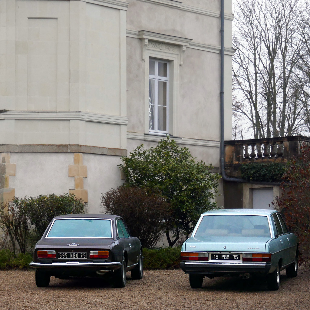
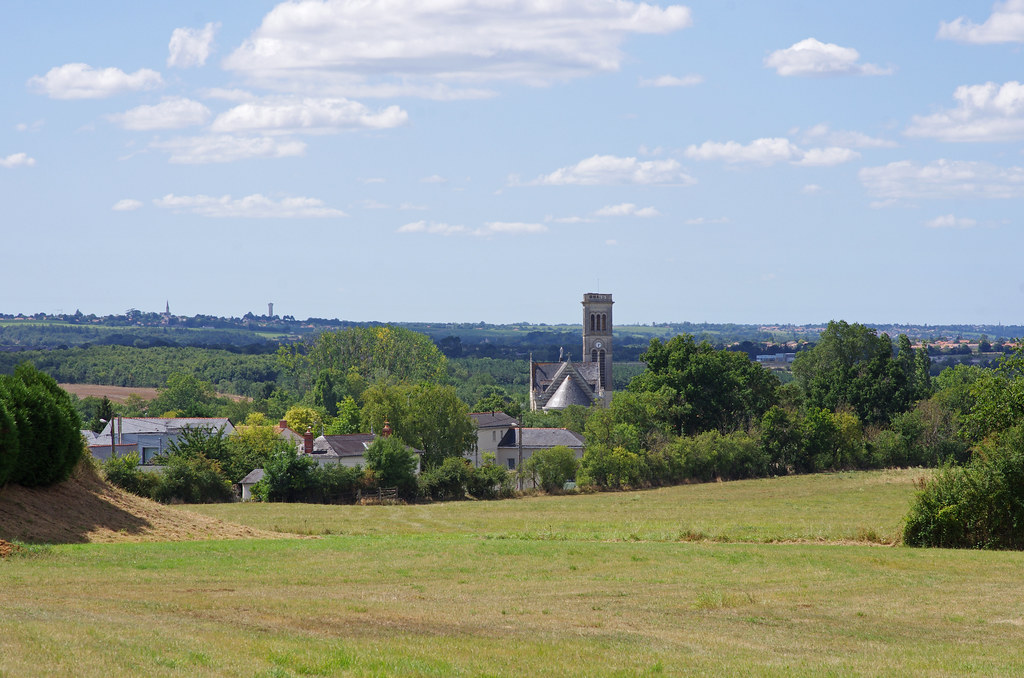
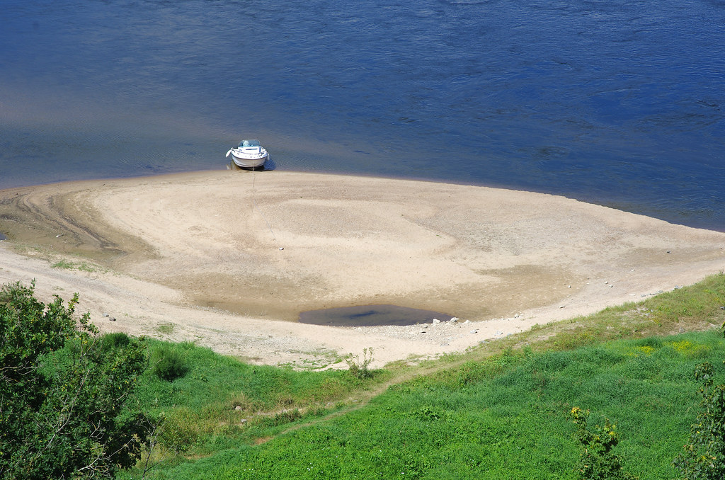
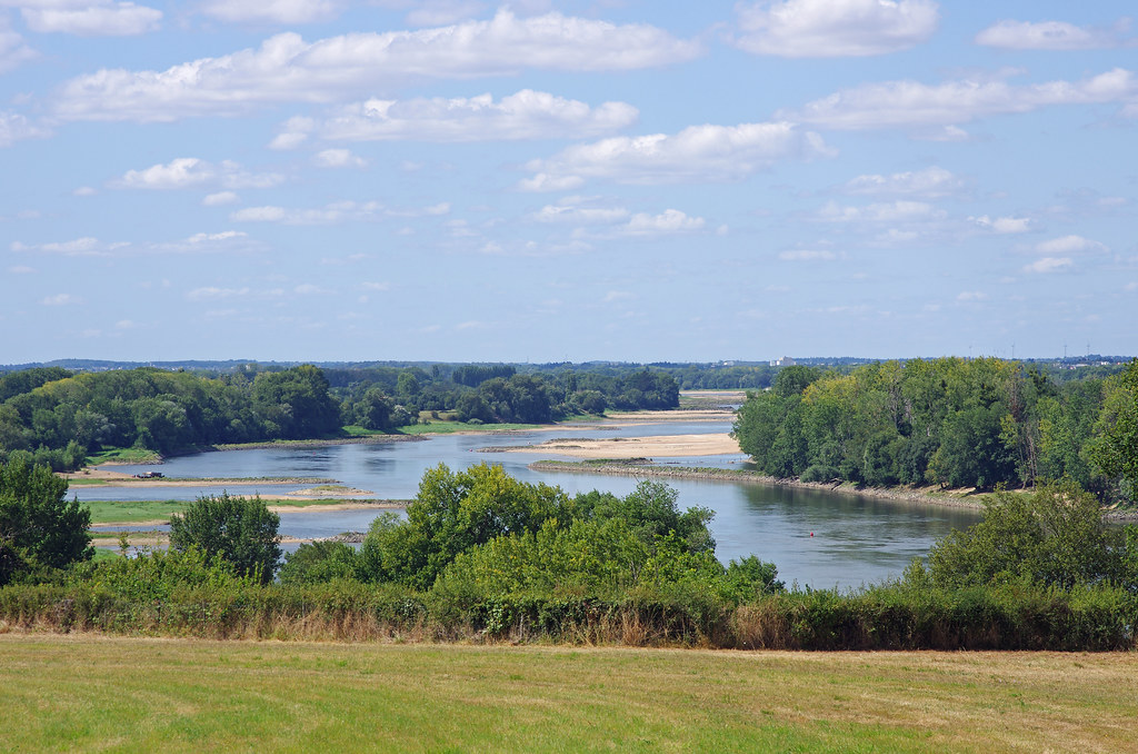
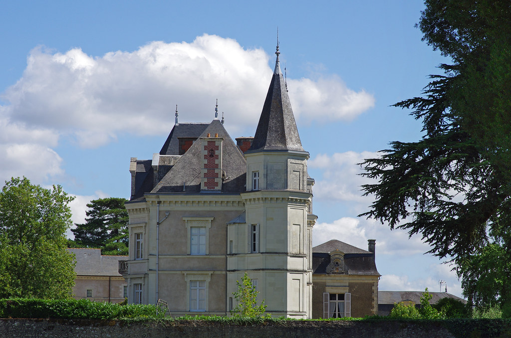
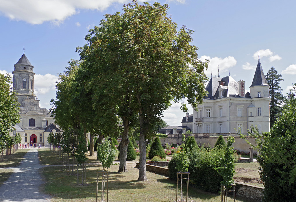
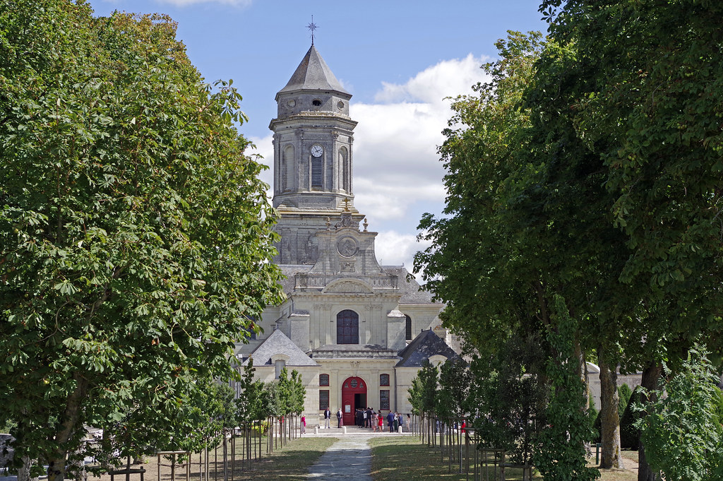
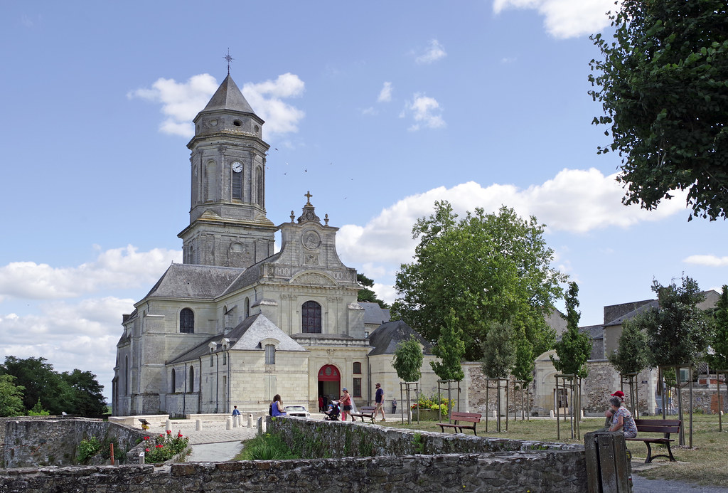
Photos Liré
|
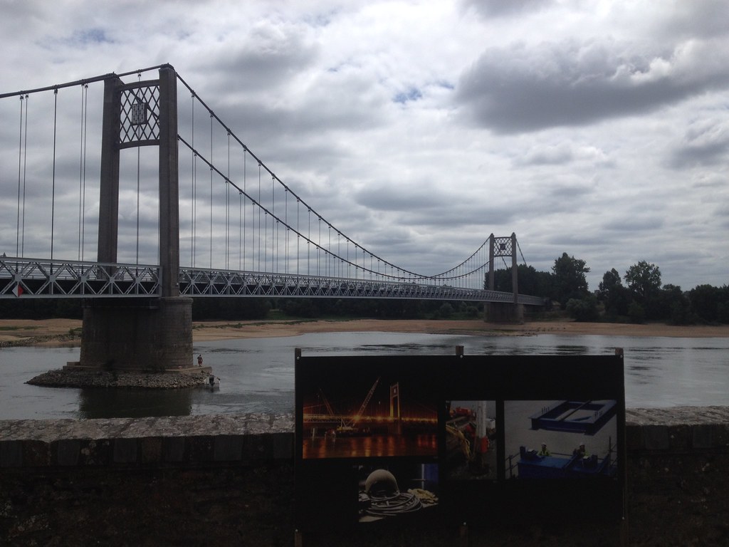
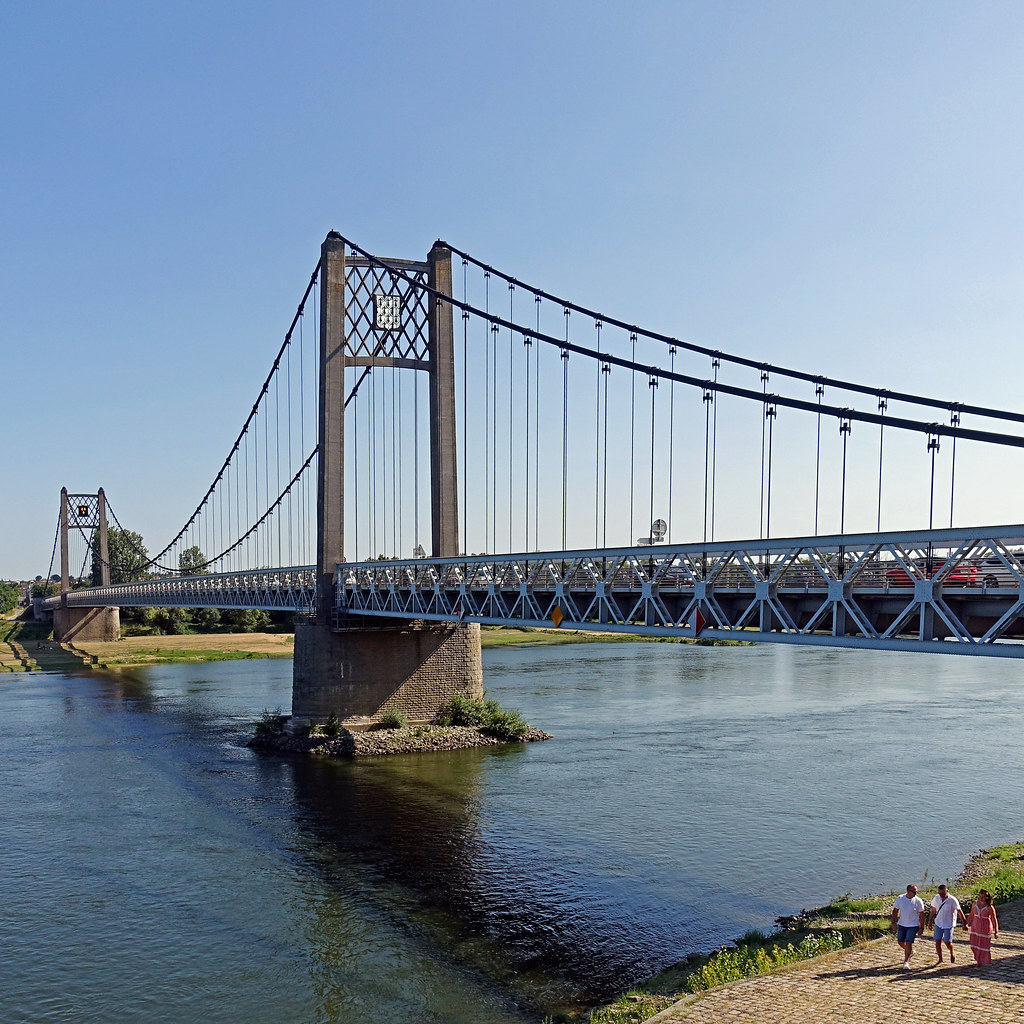
See all photos of Liré :
Other photos of Liré and nearby towns can be found here: photos Liré
|
|
Liré weather forecast
Find next hours and 7 days weather forecast for Liré here : weather Liré (with english metrics)
This is the last weather forecast for Liré collected by the nearest observation station of Champtoceaux.
Week Forecast:
The latest weather data for Liré were collected Thursday, 18 April 2024 at 17:00 from the nearest observation station of Champtoceaux.
| Thursday, April 18th |
15°C 5°C
30%
27%
|
Partly cloudy
Temperature Max: 15°C Temperature Min: 5°C
Precipitation Probability: 30% (Rain)
Percentage of sky occluded by clouds: 27%
Wind speed: 13 km/h Sout-East
Humidity: 61%° UV Index: 5
Sunrise: 07:10 Sunset: 20:59 |
|
| | Friday, April 19th |
17°C 3°C
0%
30%
|
Mostly clear
Temperature Max: 17°C Temperature Min: 3°C
Precipitation Probability: 0%
Percentage of sky occluded by clouds: 30%
Wind speed: 14 km/h East
Humidity: 62%° UV Index: 6
Sunrise: 07:08 Sunset: 21:00 |
|
| | Saturday, April 20th |
14°C 6°C
0%
20%
|
Mostly clear
Temperature Max: 14°C Temperature Min: 6°C
Precipitation Probability: 0%
Percentage of sky occluded by clouds: 20%
Wind speed: 18 km/h Sout-East
Humidity: 57%° UV Index: 5
Sunrise: 07:06 Sunset: 21:01 |
|
| | Sunday, April 21st |
13°C 3°C
0%
48%
|
Mostly clear
Temperature Max: 13°C Temperature Min: 3°C
Precipitation Probability: 0%
Percentage of sky occluded by clouds: 48%
Wind speed: 18 km/h Sout-East
Humidity: 60%° UV Index: 4
Sunrise: 07:05 Sunset: 21:03 |
|
|
Attribution: 
|
|
Other maps, hotels and towns in france
Find another town, zip code, department, region, ...
Quick links Liré :
Make a link to this page of Liré with the following code :
|
|
|
 French Version : http://www.cartesfrance.fr/carte-france-ville/49177_Lire.html