|
|
|
|
|
|
Lorgies pictures
|
|
|
|
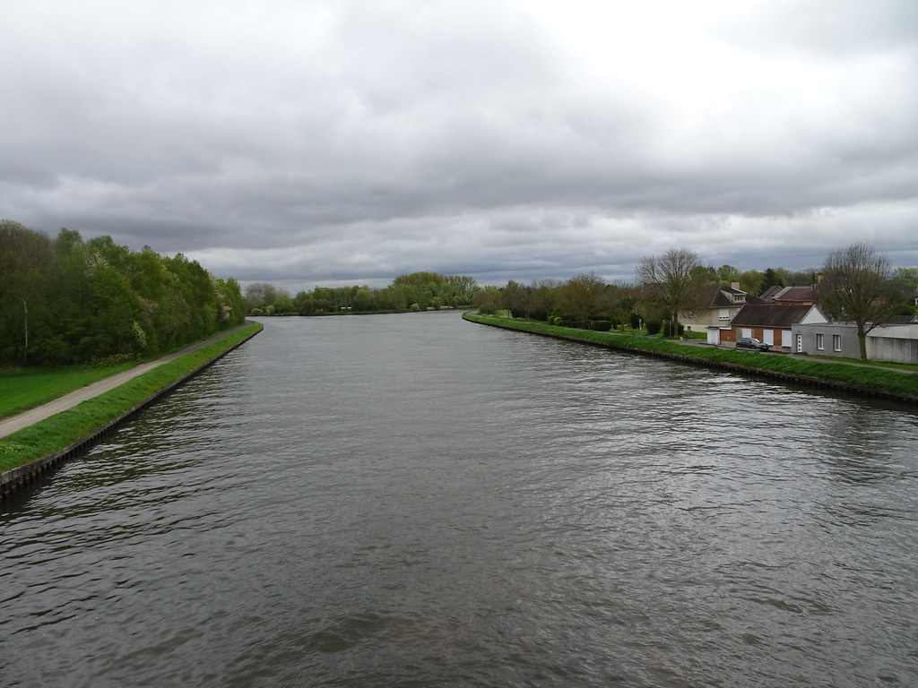
Photos of the town of Lorgies
|
These photos taken near the town of Lorgies can be shown in full screen clicking on the thumbnails. Photos are copyrighted by their owners.
| | |
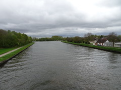
Billy-Berclau Parc de l-Îlot aux Saules (3)
|

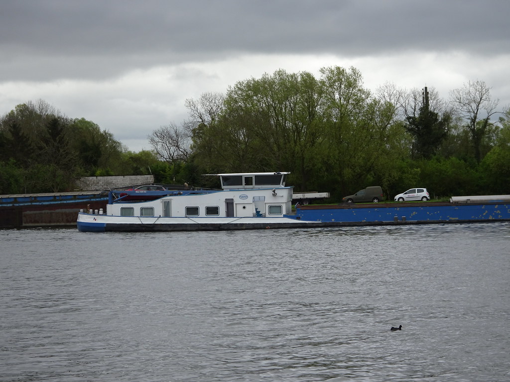
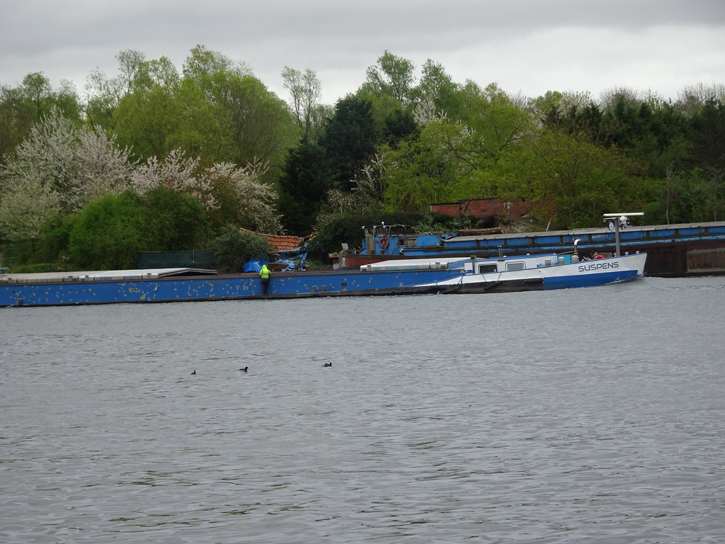
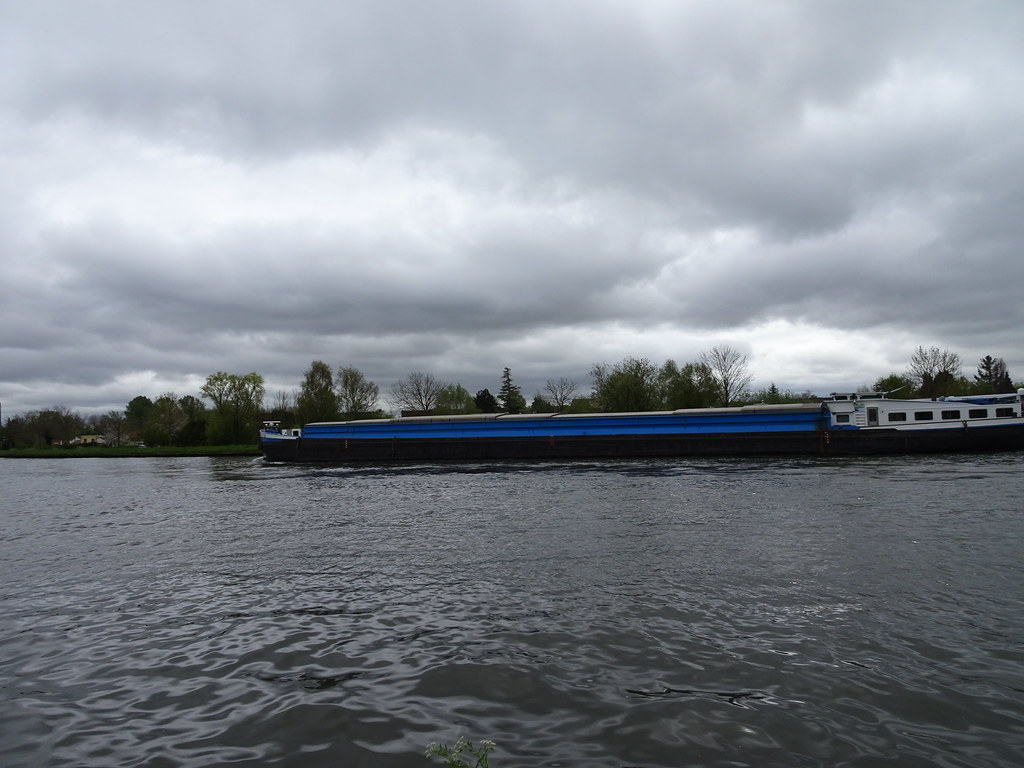
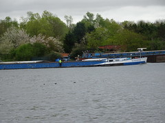
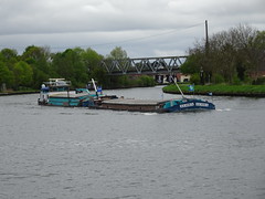
Suspens (Cargo ship, 1964)
|
| |

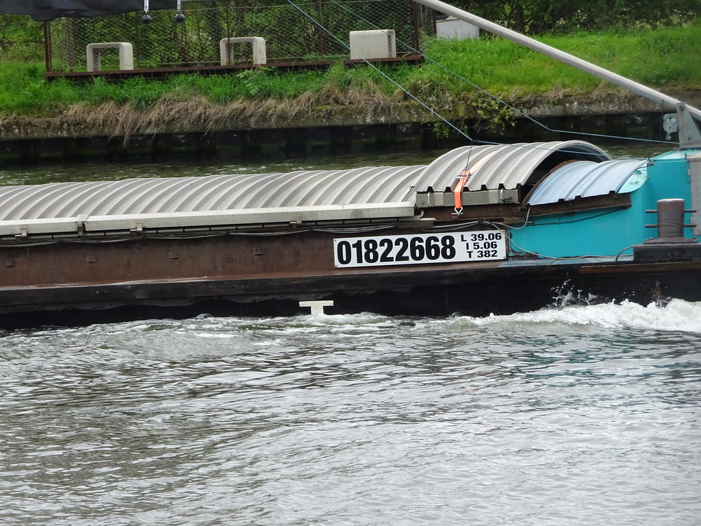
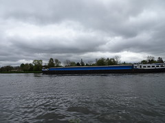
Suspens (Cargo ship, 1964)
|
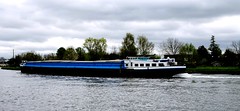
Suspens (Cargo ship, 1964)
|
| |
Pôle-Nord_(Cargo_ship,_1956_)_ENI1823283_(2)
|
Pôle-Nord_(Cargo_ship,_1956_)_ENI1823283_(1)
|
| |

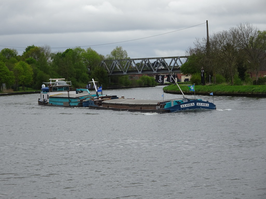
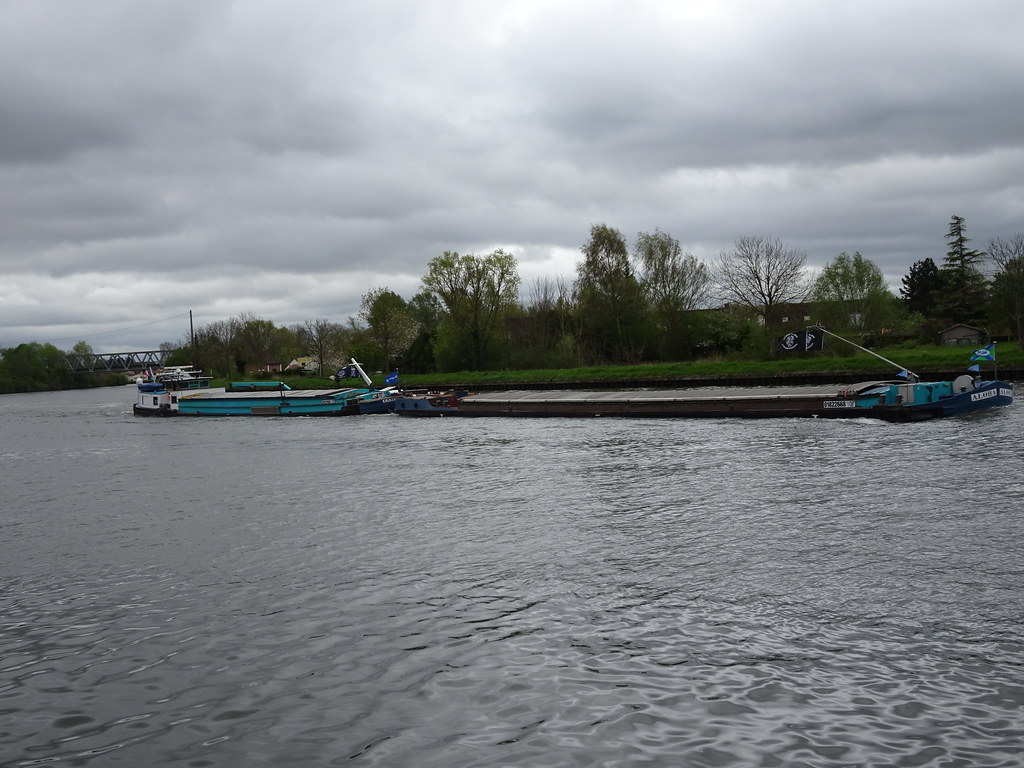
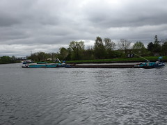
Aloha - GSL (ship, 1955) sur le canal d-Aire à Billy-Berclau
|
Aloha - GSL (ship, 1955) sur le canal d-Aire à Billy-Berclau
|
| |
Aloha - GSL (ship, 1955) sur le canal d-Aire à Billy-Berclau
|
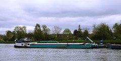
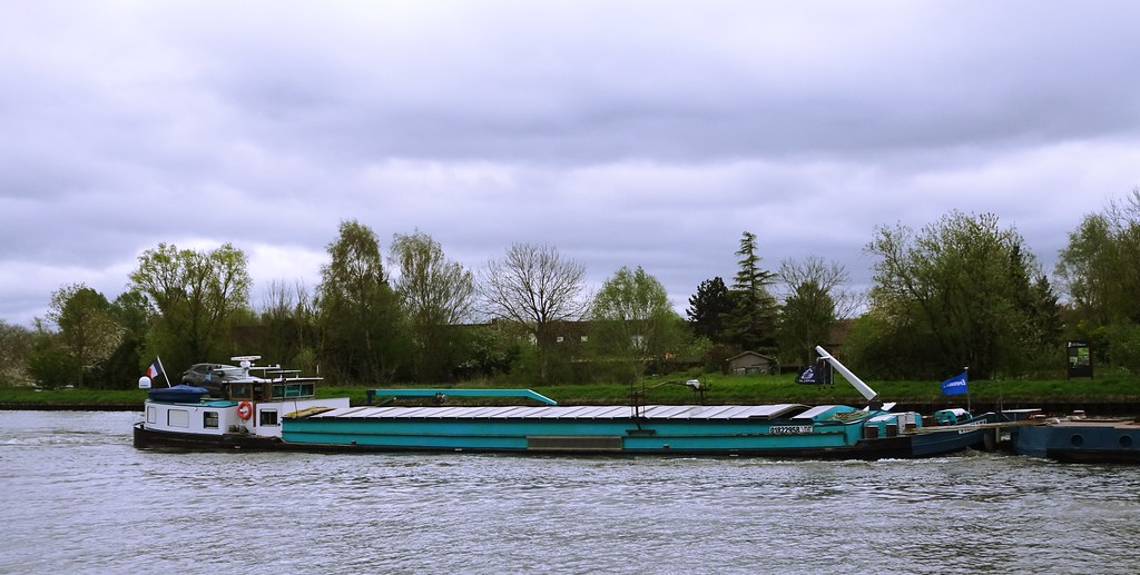
Tahiti - SGMS (Péniche, 1955) MMSI- 226001910 , sur le canal d-Aire à Billy-Berclau
|
| |
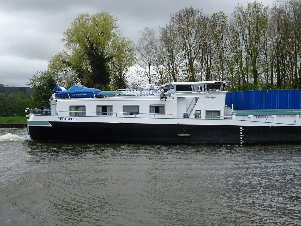
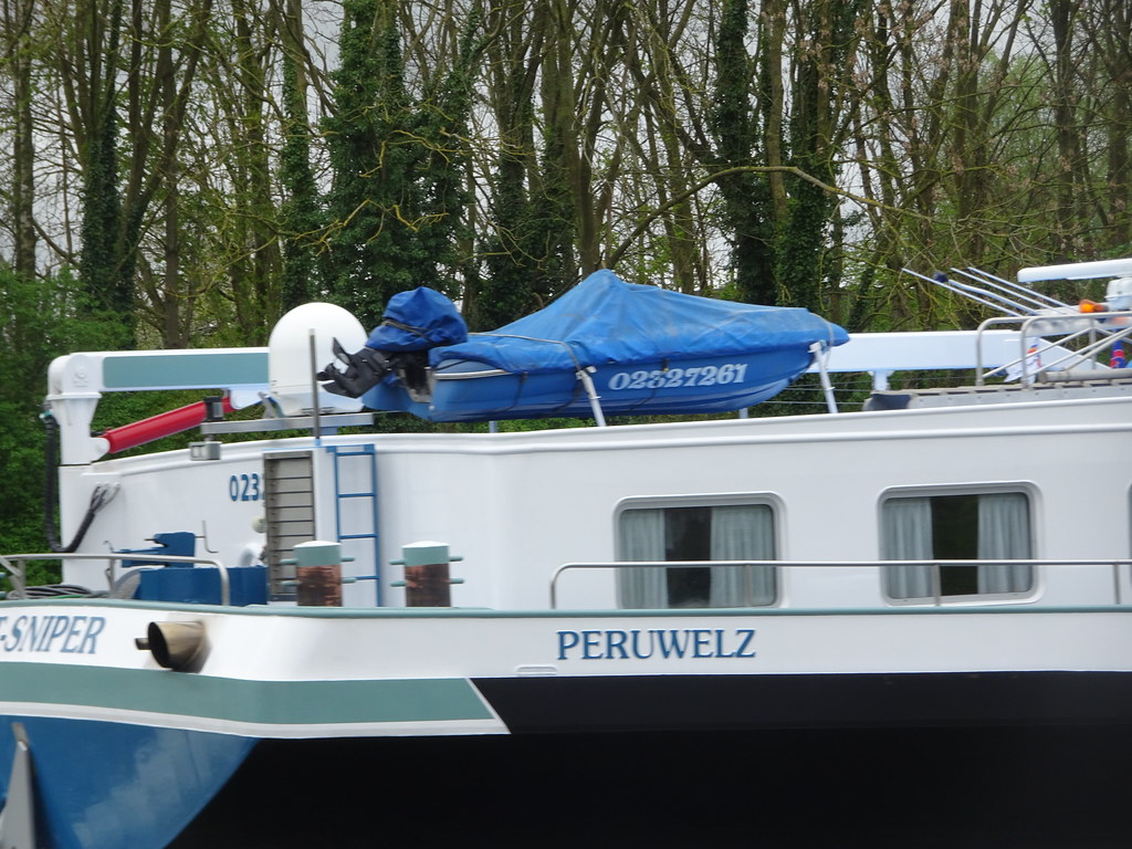
Hantay,Ghost-Sniper (ship, 2005) sur le canal d-Aire
|

Hantay,Ghost-Sniper (ship, 2005) sur le canal d-Aire
|
| |

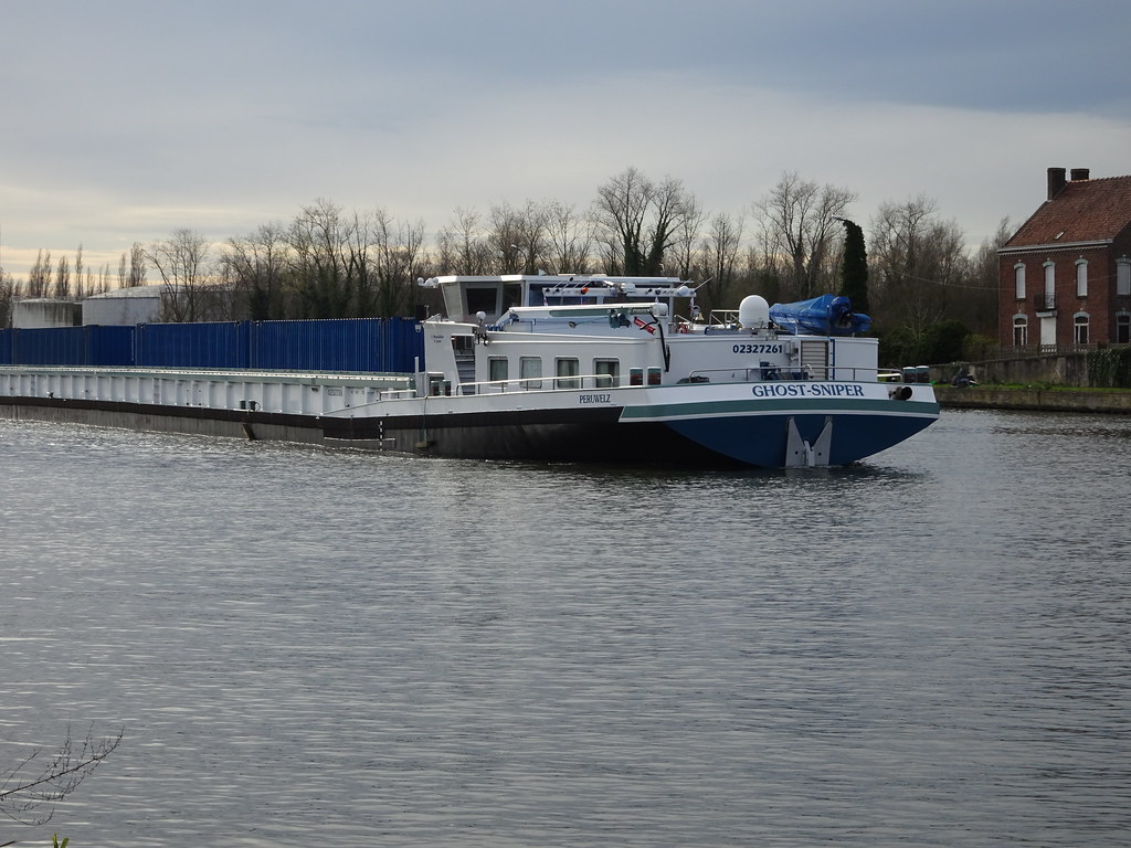
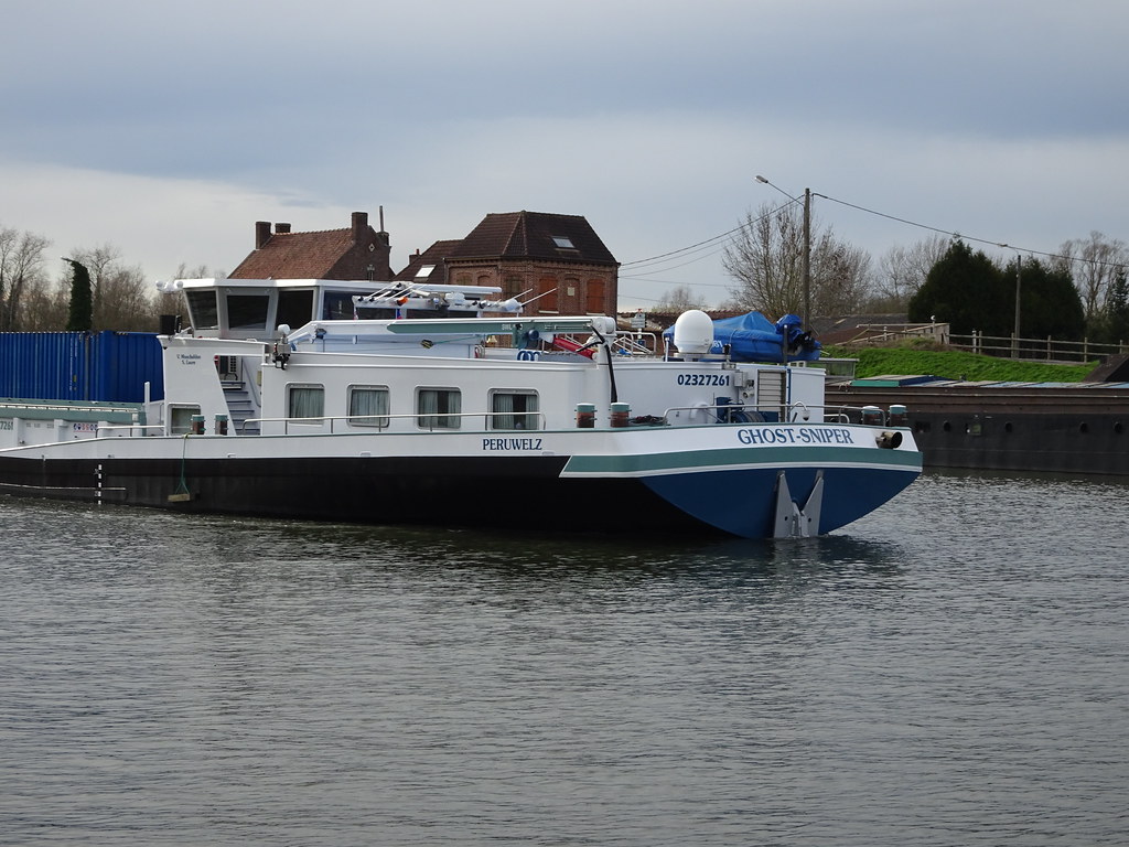
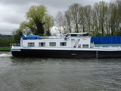
Herrin, péniche Ghost-Sniper sur le canal de la Deûle
|

Herrin, péniche Ghost-Sniper sur le canal de la Deûle
|
|
Old photos of the town of Lorgies
|
These photos taken near the town of Lorgies can be shown in full screen clicking on the thumbnails. Photos are copyrighted by their owners.
|
|
Other maps, hotels and towns in france
Find another town, zip code, department, region, ...
Quick links Lorgies :
Back to the menus Map of France :
Make a link to this page of Lorgies with the following code :
|
|
Map of France | Regions | Departments | Cities | Partners | Terms | Contact
|