|
The city of Maing is a small town located north of France. The city of Maing is located in the department of Nord of the french region Nord-Pas-de-Calais. The city of Maing is located in the township of Valenciennes-Sud part of the district of Valenciennes. The area code for Maing is 59369 (also known as code INSEE), and the Maing zip code is 59233.
Geography and map of Maing :
The altitude of the city hall of Maing is approximately 40 meters. The Maing surface is 11.68 km ². The latitude and longitude of Maing are 50.307 degrees North and 3.482 degrees East.
Nearby cities and towns of Maing are :
Thiant (59224) at 2.46 km, Trith-Saint-Léger (59125) at 2.63 km, Famars (59300) at 2.67 km, Prouvy (59121) at 2.79 km, Monchaux-sur-Écaillon (59224) at 2.92 km, Quérénaing (59269) at 3.18 km, Rouvignies (59220) at 3.70 km, Haulchin (59121) at 3.71 km.
(The distances to these nearby towns of Maing are calculated as the crow flies)
Population and housing of Maing :
The population of Maing was 3 844 in 1999, 3 941 in 2006 and 3 944 in 2007. The population density of Maing is 337.67 inhabitants per km². The number of housing of Maing was 1 701 in 2007. These homes of Maing consist of 1 596 main residences, 7 second or occasional homes and 98 vacant homes. |
|
|
Hotel Maing
|
|
|
Book now ! Best Price Guaranteed, no booking fees, pay at the hotel with our partner Booking.com, leader in online hotel reservation.
Find all hotels of Maing : Hotel Maing
| |
|
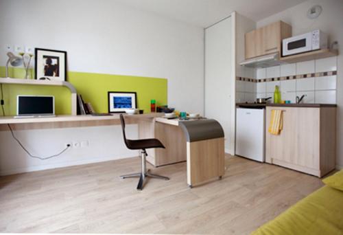
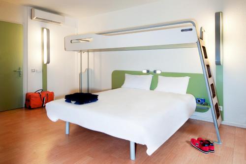
Guest accommodation : Résidence Suiteasy Lucien Jonas

Résidence Suiteasy Lucien Jonas is a 5-minute drive from the centre of Aulnoy-Lez-Valenciennes and 2 km from the A2 motorway. If offers a fitness room and self-catering studios ...
Address : 3 rue des bessemers 59300 Aulnoy
Distance Guest accommodation - Maing : 3.54 km
|
|
|
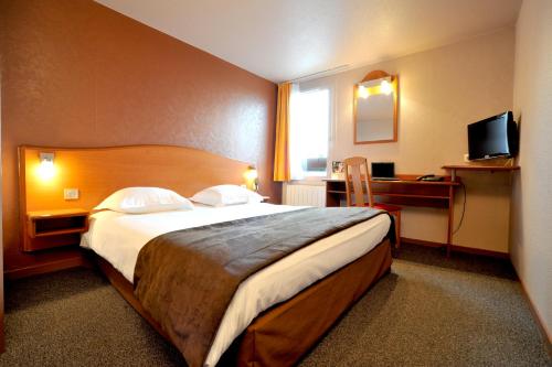
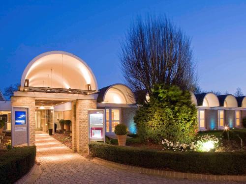
Hotel : Hôtel balladins Valenciennes Aéroport

Hotel balladins Valenciennes Aéroport sits 2 km from the airport. It offers practical and modern rooms with flat-screen TV with Canal Satellite. Guests planning an overnight st...
Price : from 45.00 €
to 85.00 €
Contact : rue Louis Dacquin, Zi No 2 59220 Valenciennes
Distance Hotel - Maing : 3.61 km
|
|
|
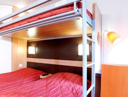
Hotel : Premiere Classe Valenciennes Sud - Rouvignies
For your next stopover or short stay in Valenciennes, choose the warm and friendly atmosphere of the new generation of Premiere Classe hotels. With immediate access to and from...
Prices : from 28.16 €
to 38.50 €
Contact : ZI n°2 – B900 Rue Louis-Dacquin 59220 Valenciennes
Distance Hotel - Maing : 3.67 km
|
|
|
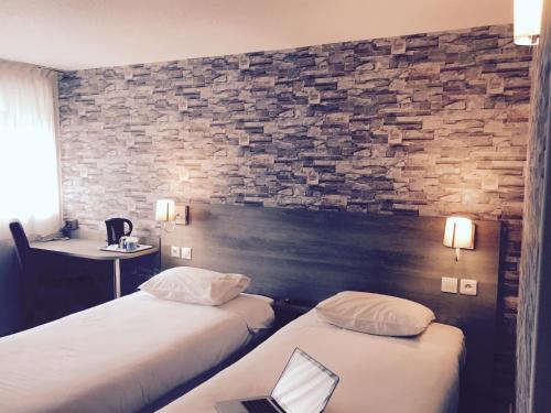
Hotel : Kyriad Valenciennes Sud - Rouvignies
This Kyriad is located on the main route between Paris and Brussels, a 3-minute drive from the A2 motorway, and less than a 10-minute drive from Valenciennes town centre. It fea...
Rate : from 34.30 €
to 65.00 €
Contact : 20 Rue Louis Dacquin 59220 Valenciennes
Distance Hotel - Maing : 3.69 km
|
|
|
Hotel : ibis budget Valenciennes
Offering a 24-hour front desk, the ibis budget Valenciennes is located in Prouvy, just 2 km from A2 Highway Exit and 15 km from Valenciennes. Free WiFi access is available. Ope...
Price : from 47.00 €
to 74.00 €
Address : rue de Maugré - ZI N° 2 Prouvy Rouvignie 59121 Prouvy
Distance Hotel - Maing : 3.75 km
|
|
|
Hotel : Novotel Valenciennes
Situated on the main road (A2) between Paris and Brussels, the Novotel Valenciennes Aérodrome offers free Wi-Fi internet access and an outdoor swimming pool. Guest rooms at the...
Prices : from 60.00 €
to 275.50 €
Contact : Rue de Maugré 59220 Valenciennes
Distance Hotel - Maing : 3.82 km
|
|

|
Hotel : B&B Hôtel Valenciennes
B&B Hôtel Valenciennes is offering accommodation in Marly. This 2-star hotel has air-conditioned rooms with a private bathroom. Free WiFi is available. The units in the hotel a...
Rate : from 49.00 €
to 97.00 €
Contact : Rue de Sologne 59770 Marly
Distance Hotel - Maing : 4.40 km
|
|
|
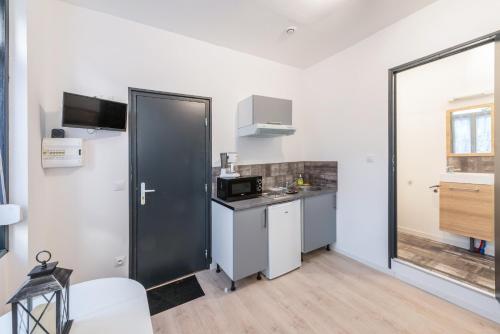
Apartment : Lkp
Set in Valenciennes, near Valenciennes Sub-prefecture, Lkp features a garden. Free WiFi is featured. The accommodation comes with a flat-screen TV and a private bathroom with s...
Price : from 35.00 €
to 40.00 €
Contact : 18 Avenue du Fbg de Cambrai 59300 Valenciennes
Distance Apartment - Maing : 4.80 km
|
|
|
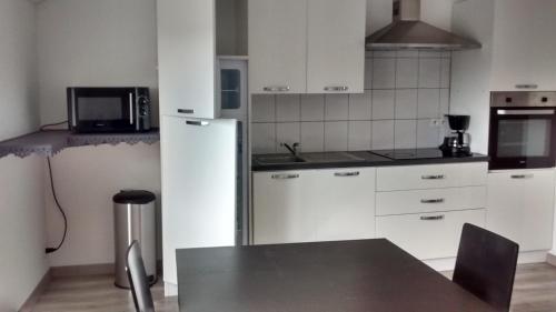
Apartment : Appartement T2 IDEAL
Appartement T2 IDEAL is a property situated in Valenciennes near Valenciennes and Hainaut-Crambresis University. Free WiFi is available in the apartment, located 3.3 km from Val...
Address : 203 Avenue de Denain 59300 Valenciennes
Distance Apartment - Maing : 4.90 km
|
|
|
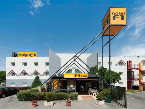
Hotel : hotelF1 Valenciennes Douchy les Mines
HotelF1 Valenciennes Douchy les Mines is situated in Haulchin, a 15-minute drive from Valenciennes. Each room comes with a flat-screen TV and a shared bathroom. Guests can purc...
Rate : from 34.24 €
to 37.45 €
Contact : Rn 30 Haulchin 59121 Haulchin
Distance Hotel - Maing : 5.34 km
|
|
Find another hotel near Maing : Maing hotels list
|
Map of Maing
|
|
Map of Maing :
At right you can find the localization of Maing on the map of France. Below, this is the satellite map of Maing. A road map, and maps templates of Maing are available here : "road map of Maing". This map show Maing seen by the satellite of Google Map. To see the streets of Maing or move on another zone, use the buttons "zoom" and "map" on top of this dynamic map.
Search on the map of Maing :
To search hotels, housings, tourist information office, administrations or other services, use the Google search integrated to the map on the following page : "map Maing".
Hotels of Maing are listed on the map with the following icons: 
The map of Maing is centred in the following coordinates :
|

|
|
|
|
Print the map of Maing

Print the map of Maing : map of Maing
|
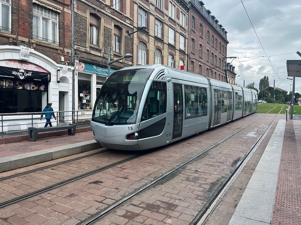
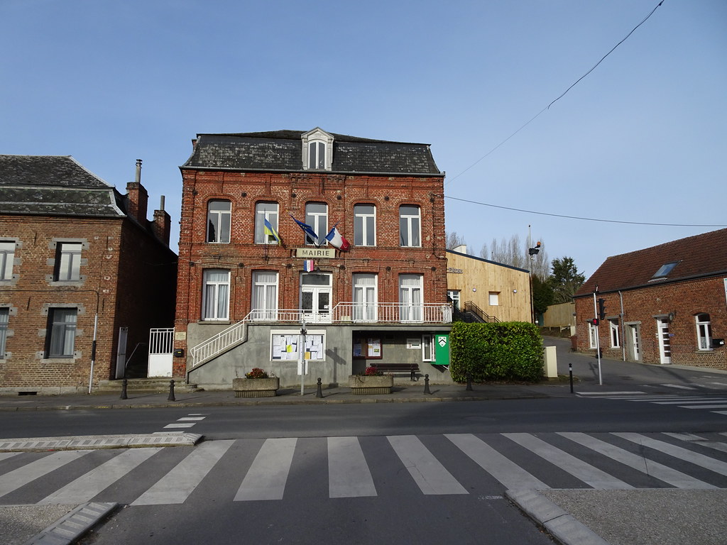
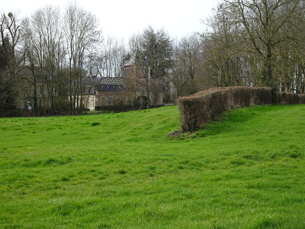
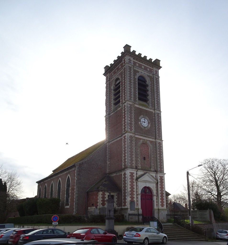
Photos Maing
|
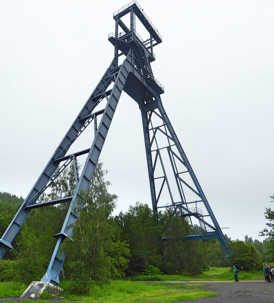
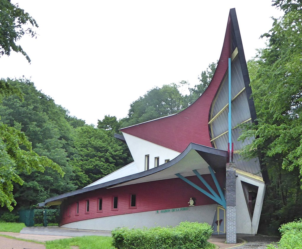
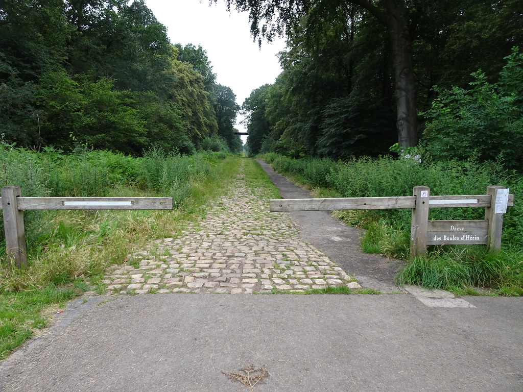
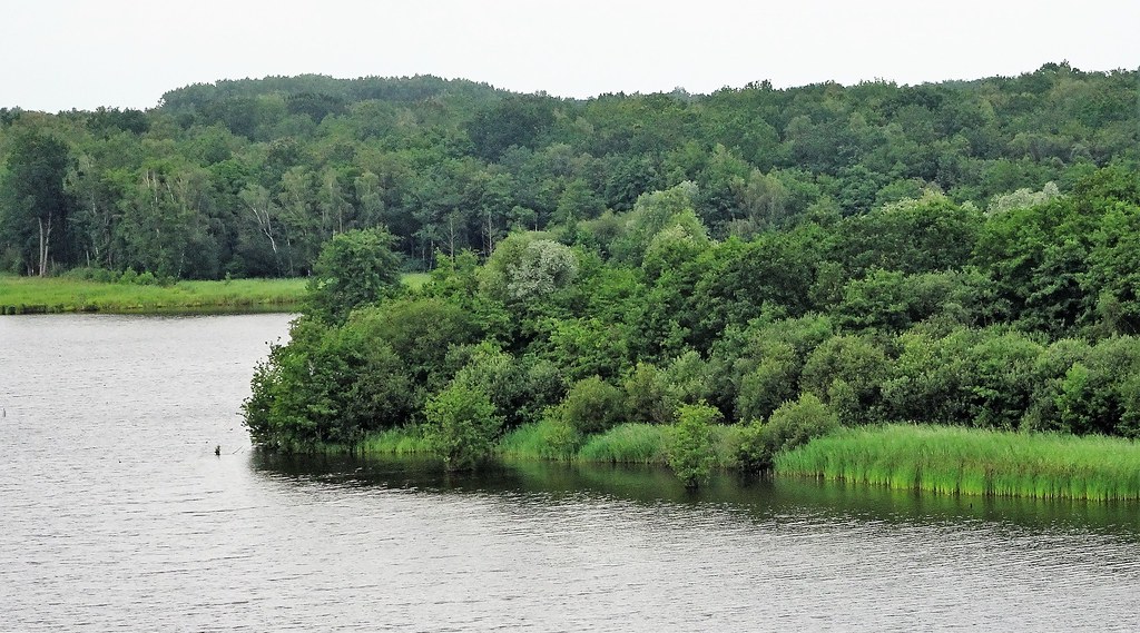
See all photos of Maing :
Other photos of Maing and nearby towns can be found here: photos Maing
|
|
Maing weather forecast
Find next hours and 7 days weather forecast for Maing here : weather Maing (with english metrics)
This is the last weather forecast for Maing collected by the nearest observation station of Valenciennes.
Week Forecast:
The latest weather data for Maing were collected Wednesday, 24 April 2024 at 17:00 from the nearest observation station of Valenciennes.
| Wednesday, April 24th |
9°C 4°C
56%
84%
|
Rain
Temperature Max: 9°C Temperature Min: 4°C
Precipitation Probability: 56% (Rain)
Percentage of sky occluded by clouds: 84%
Wind speed: 21 km/h South-East
Humidity: 77%° UV Index: 3
Sunrise: 06:33 Sunset: 20:55 |
|
| | Thursday, April 25th |
11°C 2°C
31%
91%
|
Mostly cloudy
Temperature Max: 11°C Temperature Min: 2°C
Precipitation Probability: 31% (Rain)
Percentage of sky occluded by clouds: 91%
Wind speed: 14 km/h North-East
Humidity: 67%° UV Index: 3
Sunrise: 06:31 Sunset: 20:57 |
|
| | Friday, April 26th |
13°C 4°C
59%
94%
|
Mostly cloudy
Temperature Max: 13°C Temperature Min: 4°C
Precipitation Probability: 59% (Rain)
Percentage of sky occluded by clouds: 94%
Wind speed: 11 km/h North-East
Humidity: 75%° UV Index: 3
Sunrise: 06:29 Sunset: 20:58 |
|
| | Saturday, April 27th |
17°C 7°C
61%
86%
|
Drizzle
Temperature Max: 17°C Temperature Min: 7°C
Precipitation Probability: 61% (Rain)
Percentage of sky occluded by clouds: 86%
Wind speed: 17 km/h North-West
Humidity: 73%° UV Index: 3
Sunrise: 06:28 Sunset: 21:00 |
|
|
Attribution: 
|
|
Other maps, hotels and towns in france
Find another town, zip code, department, region, ...
Quick links Maing :
Make a link to this page of Maing with the following code :
|
|
|
 French Version : http://www.cartesfrance.fr/carte-france-ville/59369_Maing.html