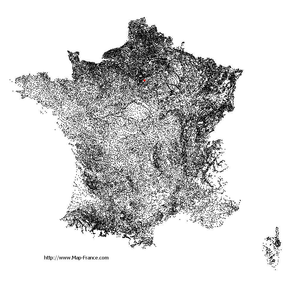
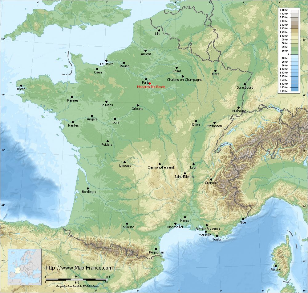
Mandres-les-Roses on the relief France map in Lambert 93 coordinates
|
See the map of Mandres-les-Roses in full screen (1000 x 949)
|
At left, here is the location of Mandres-les-Roses on the relief France map in Lambert 93 coordinates.
Here are the altitudes of Mandres-les-Roses :
- Town hall altitude of Mandres-les-Roses is 90 meters
- Minimum altitude of Mandres-les-Roses is 39 meters
- Maximum altitude of Mandres-les-Roses is 97 meters
- Medium altitude of Mandres-les-Roses is 68 meters
Here are the altitudes of Créteil, prefecture of Val-de-Marne department:
- Town hall altitude of Créteil is 34 meters
- Minimum altitude of Créteil is 31 meters
- Maximum altitude of Créteil is 74 meters
- Medium altitude of Créteil is 53 meters
Here are the altitudes of the french biggest cities:
Paris : 33 meters
Marseille : 20 meters
Lyon : 237 meters
Toulouse : 146 meters
Nice : 10 meters
Nantes : 20 meters
Strasbourg : 144 meters
Montpellier : 35 meters
Bordeaux : 16 meters
Lille : 20 meters
Rennes : 35 meters
Reims : 83 meters
Click here for the terrain map of Mandres-les-Roses in full screen:
Relief map of Mandres-les-Roses
|
This relief map of Mandres-les-Roses is reusable and modifiable by making a link to this page of the Map-France.com website or by using the given code :
|
Terrain base map of Mandres-les-Roses
|

See the terrain base map of Mandres-les-Roses in full screen (1000 x 949)
|
Small relief base map of Mandres-les-Roses

|
This base map of Mandres-les-Roses is reusable and modifiable by making a link to this page of the Map-France.com website or by using the given code :
|
Map of Mandres-les-Roses with regions and prefectures
|
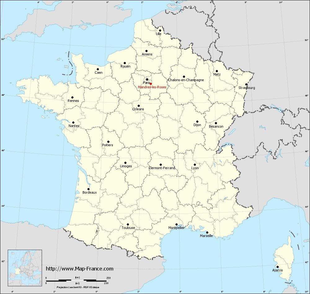
View the map of Mandres-les-Roses in full screen (1000 x 949)
|
You will find the location of Mandres-les-Roses on the map of France of regions in Lambert 93 coordinates. The city of Mandres-les-Roses is located in the department of Val-de-Marne of the french region Île-de-France.
Geographical sexagesimal coordinates / GPS (WGS84):
Latitude: 48° 42' 08'' North
Longitude: 02° 32' 40'' East
Geographical decimal coordinates :
Latitude: 48.701 degrees (48.701° North)
Longitude: 2.543 degrees (2.543° East)
Lambert 93 coordinates :
X: 6 665 hectometers
Y: 68 448 hectometers
Lambert 2 coordinates :
X: 6 153 hectometers
Y: 24 115 hectometers
Below, the geographical coordinates of Créteil, prefecture of the Val-de-Marne department:
Geographical sexagesimal coordinates / GPS (WGS84):
Latitude: 48° 47' 26'' North
Longitude: 02° 27' 43'' East
Geographical decimal coordinates :
Latitude: 48.793 degrees (48.793° North)
Longitude: 2.461 degrees (2.461° East)
Lambert 93 coordinates :
X: 6 605 hectometers
Y: 68 546 hectometers
Lambert 2 coordinates :
X: 6 092 hectometers
Y: 24 213 hectometers
|
This map of Mandres-les-Roses is reusable and modifiable by making a link to this page of the Map-France.com website or by using the given code :
|
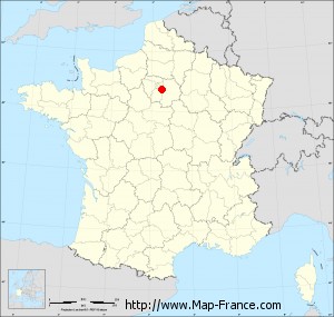
Map of Mandres-les-Roses with departments and prefectures
|
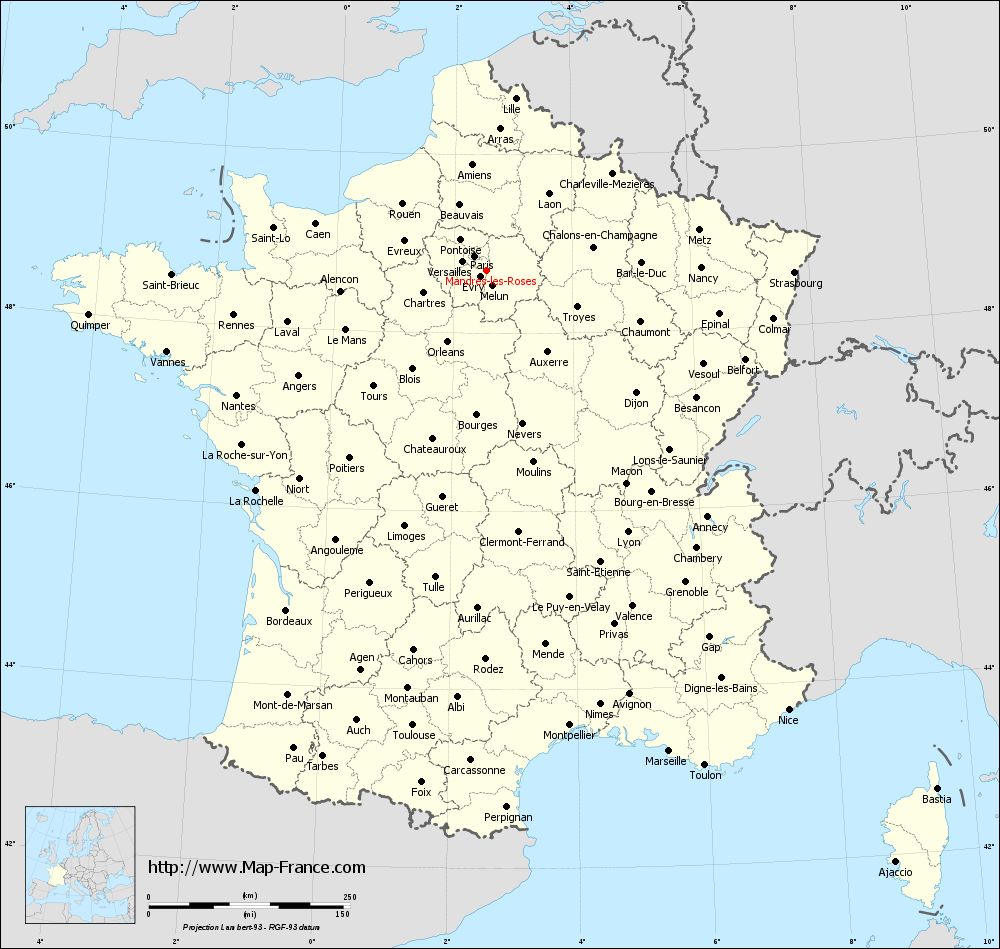
Voir la carte of Mandres-les-Roses en grand format (1000 x 949)
|
Here is the localization of Mandres-les-Roses on the France map of departments in Lambert 93 coordinates. The city of Mandres-les-Roses is shown on the map by a red point.
The city of Mandres-les-Roses is located in the department of Val-de-Marne of the french region Île-de-France.
The latitude of Mandres-les-Roses is 48.701 degrees North.
The longitude of Mandres-les-Roses is 2.543 degrees East.
Here the distance between Mandres-les-Roses and the biggest cities of France:
Distances are calculated as the crow flies (orthodromic distance)
Distance between Mandres-les-Roses and Paris : 22.87 kilometers
Distance between Mandres-les-Roses and Marseille : 639.46 kilometers
Distance between Mandres-les-Roses and Lyon : 369.68 kilometers
Distance between Mandres-les-Roses and Toulouse : 572.96 kilometers
Distance between Mandres-les-Roses and Nice : 662.79 kilometers
Distance between Mandres-les-Roses and Nantes : 346.38 kilometers
Distance between Mandres-les-Roses and Strasbourg : 382.83 kilometers
Distance between Mandres-les-Roses and Montpellier : 574.95 kilometers
Distance between Mandres-les-Roses and Bordeaux : 489.84 kilometers
Distance between Mandres-les-Roses and Lille : 217.11 kilometers
Distance between Mandres-les-Roses and Rennes : 318.37 kilometers
Distance between Mandres-les-Roses and Reims : 124.93 kilometers
Clic here to see the map of Mandres-les-Roses in full screen:
Mandres-les-Roses on the map of french departments
|
This administrative map of Mandres-les-Roses is reusable and modifiable by making a link to this page of the Map-France.com website or by using the given code :
|
Administrative base maps of Mandres-les-Roses
|

See the administrative base map of Mandres-les-Roses in full screen (1000 x 949)
|
Small administrative base map of Mandres-les-Roses
|
This base map administrative of Mandres-les-Roses is reusable and modifiable by making a link to this page of the Map-France.com website or by using the given code :
|
 French Version : http://www.cartesfrance.fr