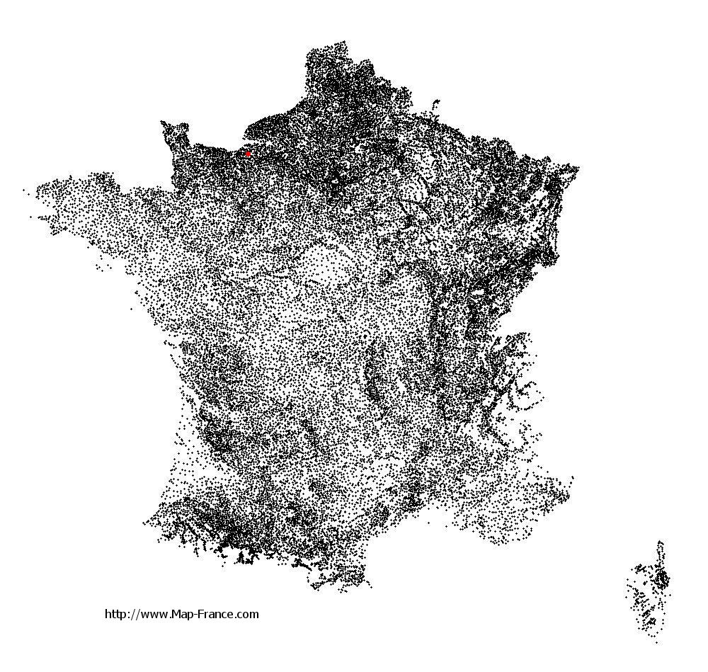
Manneville-la-Pipard on the relief France map in Lambert 93 coordinates
|

See the map of Manneville-la-Pipard in full screen (1000 x 949)
|
At left, here is the location of Manneville-la-Pipard on the relief France map in Lambert 93 coordinates.
Here are the altitudes of Manneville-la-Pipard :
- Town hall altitude of Manneville-la-Pipard is 30 meters
- Minimum altitude of Manneville-la-Pipard is 12 meters
- Maximum altitude of Manneville-la-Pipard is 149 meters
- Medium altitude of Manneville-la-Pipard is 81 meters
Here are the altitudes of Caen, prefecture of Calvados department:
- Town hall altitude of Caen is 25 meters
- Minimum altitude of Caen is 2 meters
- Maximum altitude of Caen is 73 meters
- Medium altitude of Caen is 38 meters
Here are the altitudes of the french biggest cities:
Paris : 33 meters
Marseille : 20 meters
Lyon : 237 meters
Toulouse : 146 meters
Nice : 10 meters
Nantes : 20 meters
Strasbourg : 144 meters
Montpellier : 35 meters
Bordeaux : 16 meters
Lille : 20 meters
Rennes : 35 meters
Reims : 83 meters
Click here for the terrain map of Manneville-la-Pipard in full screen:
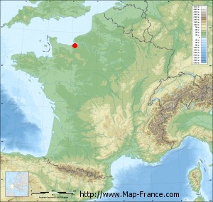
Relief map of Manneville-la-Pipard
|
This relief map of Manneville-la-Pipard is reusable and modifiable by making a link to this page of the Map-France.com website or by using the given code :
|
Terrain base map of Manneville-la-Pipard
|

See the terrain base map of Manneville-la-Pipard in full screen (1000 x 949)
|
Small relief base map of Manneville-la-Pipard
|
This base map of Manneville-la-Pipard is reusable and modifiable by making a link to this page of the Map-France.com website or by using the given code :
|
Map of Manneville-la-Pipard with regions and prefectures
|
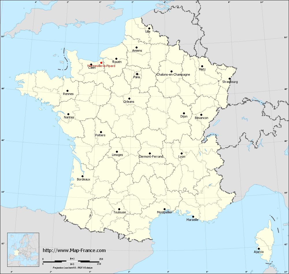
View the map of Manneville-la-Pipard in full screen (1000 x 949)
|
You will find the location of Manneville-la-Pipard on the map of France of regions in Lambert 93 coordinates. The town of Manneville-la-Pipard is located in the department of Calvados of the french region Basse-Normandie.
Geographical sexagesimal coordinates / GPS (WGS84):
Latitude: 49° 15' 42'' North
Longitude: 00° 13' 13'' East
Geographical decimal coordinates :
Latitude: 49.259 degrees (49.259° North)
Longitude: 0.222 degrees (0.222° East)
Lambert 93 coordinates :
X: 4 977 hectometers
Y: 69 105 hectometers
Lambert 2 coordinates :
X: 4 459 hectometers
Y: 24 759 hectometers
Below, the geographical coordinates of Caen, prefecture of the Calvados department:
Geographical sexagesimal coordinates / GPS (WGS84):
Latitude: 49° 10' 56'' North
Longitude: 00° 22' 14'' West
Geographical decimal coordinates :
Latitude: 49.184 degrees (49.184° North)
Longitude: -0.36 degrees (0.36° West)
Lambert 93 coordinates :
X: 4 543 hectometers
Y: 69 033 hectometers
Lambert 2 coordinates :
X: 4 025 hectometers
Y: 24 683 hectometers
|
This map of Manneville-la-Pipard is reusable and modifiable by making a link to this page of the Map-France.com website or by using the given code :
|
Map of Manneville-la-Pipard with departments and prefectures
|
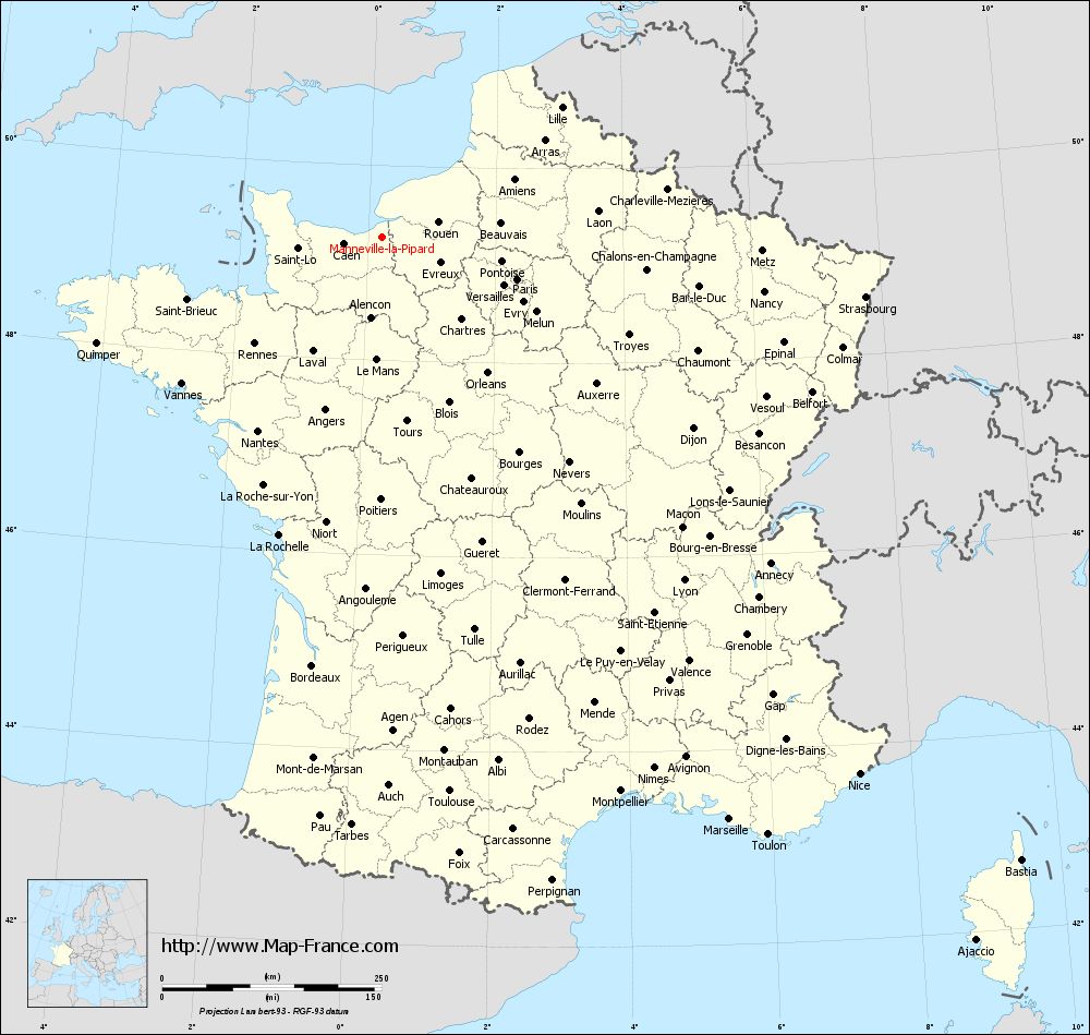
Voir la carte of Manneville-la-Pipard en grand format (1000 x 949)
|
Here is the localization of Manneville-la-Pipard on the France map of departments in Lambert 93 coordinates. The city of Manneville-la-Pipard is shown on the map by a red point.
The town of Manneville-la-Pipard is located in the department of Calvados of the french region Basse-Normandie.
The latitude of Manneville-la-Pipard is 49.259 degrees North.
The longitude of Manneville-la-Pipard is 0.222 degrees East.
Here the distance between Manneville-la-Pipard and the biggest cities of France:
Distances are calculated as the crow flies (orthodromic distance)
Distance between Manneville-la-Pipard and Paris : 160.84 kilometers
Distance between Manneville-la-Pipard and Marseille : 772.10 kilometers
Distance between Manneville-la-Pipard and Lyon : 520.39 kilometers
Distance between Manneville-la-Pipard and Toulouse : 635.72 kilometers
Distance between Manneville-la-Pipard and Nice : 818.28 kilometers
Distance between Manneville-la-Pipard and Nantes : 261.94 kilometers
Distance between Manneville-la-Pipard and Strasbourg : 554.89 kilometers
Distance between Manneville-la-Pipard and Montpellier : 687.03 kilometers
Distance between Manneville-la-Pipard and Bordeaux : 494.31 kilometers
Distance between Manneville-la-Pipard and Lille : 252.73 kilometers
Distance between Manneville-la-Pipard and Rennes : 189.25 kilometers
Distance between Manneville-la-Pipard and Reims : 276.22 kilometers
Clic here to see the map of Manneville-la-Pipard in full screen:
Manneville-la-Pipard on the map of french departments
|
This administrative map of Manneville-la-Pipard is reusable and modifiable by making a link to this page of the Map-France.com website or by using the given code :
|
Administrative base maps of Manneville-la-Pipard
|

See the administrative base map of Manneville-la-Pipard in full screen (1000 x 949)
|
Small administrative base map of Manneville-la-Pipard
|
This base map administrative of Manneville-la-Pipard is reusable and modifiable by making a link to this page of the Map-France.com website or by using the given code :
|
 French Version : http://www.cartesfrance.fr