Map of France

Marcilly-en-Villette photos


Find a town, a zip code,
a department, a region... in France
I like Map-France.com !


Marcilly-en-Villette pictures


Here are the photos of the town of Marcilly-en-Villette and nearby towns. Marcilly-en-Villette is located in the department of Loiret in the region of Centre. You will find the satellite map of Marcilly-en-Villette under these photos.

To see photos of nearby towns of Marcilly-en-Villette, you can try the following links :
   - Ménestreau-en-Villette pictures : town located at 7.16 km
   - La Ferté-Saint-Aubin pictures : town located at 8.01 km
   - Saint-Cyr-en-Val pictures : town located at 8.37 km
   - Sandillon pictures : town located at 8.99 km
   - Vienne-en-Val pictures : town located at 9.41 km
   - Férolles pictures : town located at 10.27 km
   - Ardon pictures : town located at 11.13 km
   - Bou pictures : town located at 12.16 km
   - Darvoy pictures : town located at 12.33 km
   - Sennely pictures : town located at 13.40 km
   - Saint-Denis-en-Val pictures : town located at 13.47 km
   - Vouzon pictures : town located at 13.51 km

 - photos of the department prefecture of Loiret : photos of Orléans
 - pictures of others cities of Loiret : Loiret


To see Marcilly-en-Villette from the sky, here is the satellite map of the town of Marcilly-en-Villette : Marcilly-en-Villette map.

I like Marcilly-en-Villette !


Photos of the town of Marcilly-en-Villette

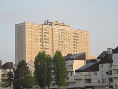
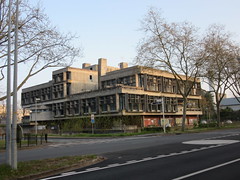
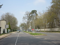
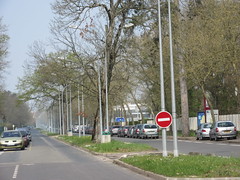
These photos taken near the town of Marcilly-en-Villette can be shown in full screen clicking on the thumbnails. Photos are copyrighted by their owners.

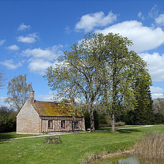
Ménestreau-en-Villette, Loiret, France - Photo of Marcilly-en-Villette
Ménestreau-en-Villette, Loiret, France

27.02.2022, BB 26070, La Ferté-St-Aubin - Photo of Marcilly-en-Villette
27.02.2022, BB 26070, La Ferté-St-Aubin

L-église abandonnée - Photo of Marcilly-en-Villette
L-église abandonnée

20200616_RTh__DSC0113-Modifier - Photo of Marcilly-en-Villette
20200616_RTh__DSC0113-Modifier

20200616_RTh__DSC0114-Modifier - Photo of Marcilly-en-Villette
20200616_RTh__DSC0114-Modifier

20200616_RTh__DSC0114-Modifier-2 - Photo of Marcilly-en-Villette
20200616_RTh__DSC0114-Modifier-2

201704_0077 - Photo of Marcilly-en-Villette
201704_0077

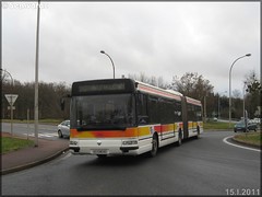
Renault Agora L – Semtao (Société d-Économie Mixte des Transports de l-Agglomération Orléanaise) (Transdev) / TAO (Transports de l-Agglomération Orléanaise) n°707 - Photo of Marcilly-en-Villette
Renault Agora L – Semtao (Société d-Économie Mixte des Transports de l-Agglomération Orléanaise) (Transdev) / TAO (Transports de l-Agglomération Orléanaise) n°707

201704_0081 - Photo of Marcilly-en-Villette
201704_0081

201704_0083 - Photo of Marcilly-en-Villette
201704_0083

201704_0084 - Photo of Marcilly-en-Villette
201704_0084

201704_0085 - Photo of Marcilly-en-Villette
201704_0085

201704_0086 - Photo of Marcilly-en-Villette
201704_0086

201704_0078 - 201704_0080 - Photo of Marcilly-en-Villette
201704_0078 - 201704_0080


Marcilly-en-Villette from the sky


Old photos of the town of Marcilly-en-Villette

These photos taken near the town of Marcilly-en-Villette can be shown in full screen clicking on the thumbnails. Photos are copyrighted by their owners.


Other maps, hotels and towns in france


Find another town, zip code, department, region, ...


Quick links Marcilly-en-Villette :


Back to the menus Map of France :


Make a link to this page of Marcilly-en-Villette with the following code :


Map of France | Regions | Departments | Cities | Partners | Terms | Contact