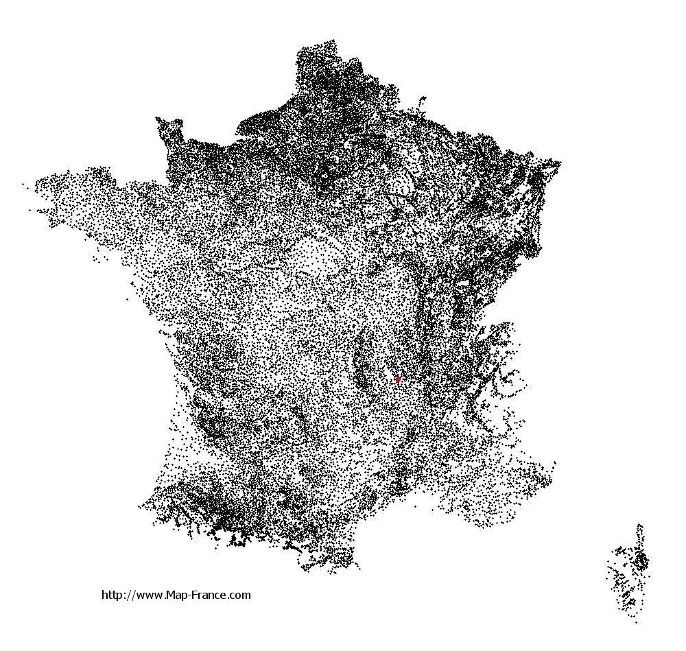
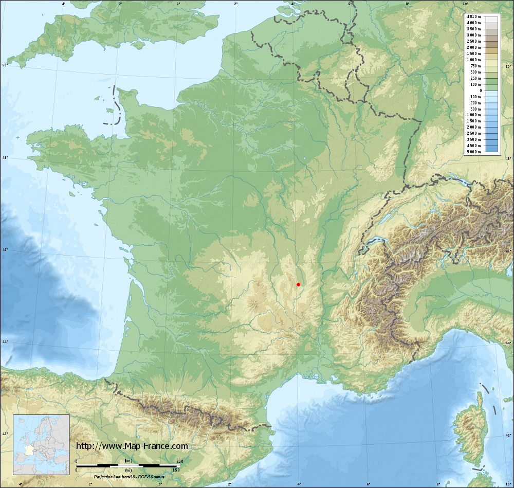
Margerie-Chantagret on the relief France map in Lambert 93 coordinates
|

See the map of Margerie-Chantagret in full screen (1000 x 949)
|
At left, here is the location of Margerie-Chantagret on the relief France map in Lambert 93 coordinates.
Here are the altitudes of Margerie-Chantagret :
- Town hall altitude of Margerie-Chantagret is 642 meters
- Minimum altitude of Margerie-Chantagret is 491 meters
- Maximum altitude of Margerie-Chantagret is 802 meters
- Medium altitude of Margerie-Chantagret is 647 meters
Here are the altitudes of Saint-Étienne, prefecture of Loire department:
- Town hall altitude of Saint-Étienne is 515 meters
- Minimum altitude of Saint-Étienne is 422 meters
- Maximum altitude of Saint-Étienne is 1 117 meters
- Medium altitude of Saint-Étienne is 770 meters
Here are the altitudes of the french biggest cities:
Paris : 33 meters
Marseille : 20 meters
Lyon : 237 meters
Toulouse : 146 meters
Nice : 10 meters
Nantes : 20 meters
Strasbourg : 144 meters
Montpellier : 35 meters
Bordeaux : 16 meters
Lille : 20 meters
Rennes : 35 meters
Reims : 83 meters
Click here for the terrain map of Margerie-Chantagret in full screen:
Relief map of Margerie-Chantagret
|
This relief map of Margerie-Chantagret is reusable and modifiable by making a link to this page of the Map-France.com website or by using the given code :
|
Terrain base map of Margerie-Chantagret
|
See the terrain base map of Margerie-Chantagret in full screen (1000 x 949)
|
Small relief base map of Margerie-Chantagret

|
This base map of Margerie-Chantagret is reusable and modifiable by making a link to this page of the Map-France.com website or by using the given code :
|
Map of Margerie-Chantagret with regions and prefectures
|
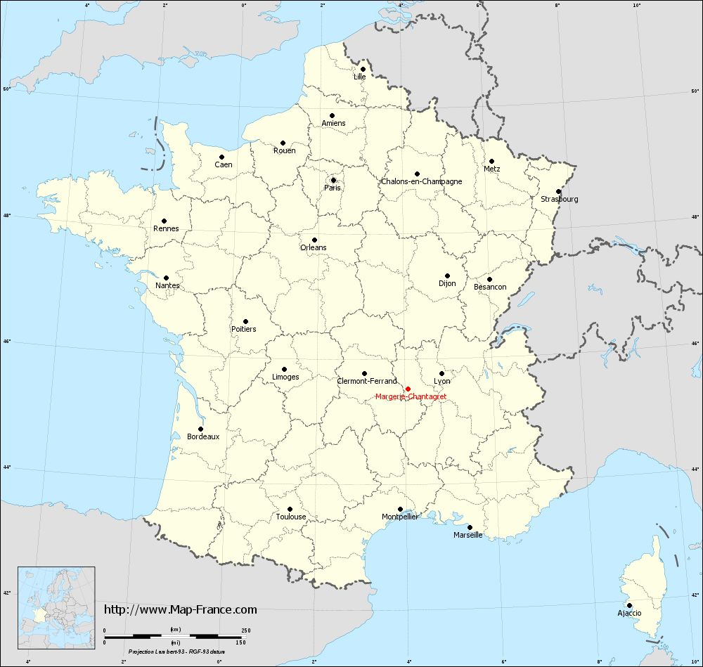
View the map of Margerie-Chantagret in full screen (1000 x 949)
|
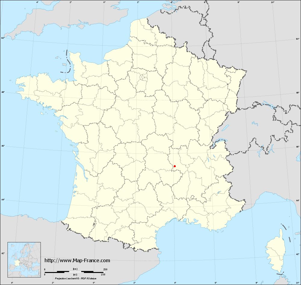
You will find the location of Margerie-Chantagret on the map of France of regions in Lambert 93 coordinates. The town of Margerie-Chantagret is located in the department of Loire of the french region Rhône-Alpes.
Geographical sexagesimal coordinates / GPS (WGS84):
Latitude: 45° 31' 30'' North
Longitude: 04° 04' 00'' East
Geographical decimal coordinates :
Latitude: 45.524 degrees (45.524° North)
Longitude: 4.066 degrees (4.066° East)
Lambert 93 coordinates :
X: 7 833 hectometers
Y: 64 923 hectometers
Lambert 2 coordinates :
X: 7 352 hectometers
Y: 20 598 hectometers
Below, the geographical coordinates of Saint-Étienne, prefecture of the Loire department:
Geographical sexagesimal coordinates / GPS (WGS84):
Latitude: 45° 26' 02'' North
Longitude: 04° 23' 23'' East
Geographical decimal coordinates :
Latitude: 45.441 degrees (45.441° North)
Longitude: 4.39 degrees (4.39° East)
Lambert 93 coordinates :
X: 8 086 hectometers
Y: 64 825 hectometers
Lambert 2 coordinates :
X: 7 607 hectometers
Y: 20 502 hectometers
|
This map of Margerie-Chantagret is reusable and modifiable by making a link to this page of the Map-France.com website or by using the given code :
|
Map of Margerie-Chantagret with departments and prefectures
|
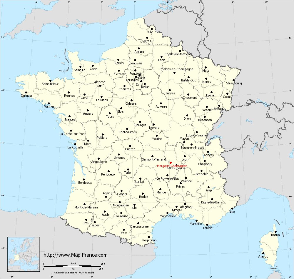
Voir la carte of Margerie-Chantagret en grand format (1000 x 949)
|
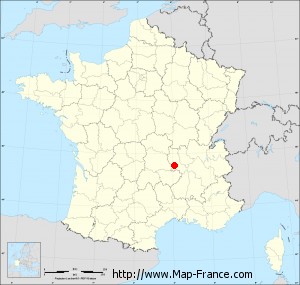
Here is the localization of Margerie-Chantagret on the France map of departments in Lambert 93 coordinates. The city of Margerie-Chantagret is shown on the map by a red point.
The town of Margerie-Chantagret is located in the department of Loire of the french region Rhône-Alpes.
The latitude of Margerie-Chantagret is 45.524 degrees North.
The longitude of Margerie-Chantagret is 4.066 degrees East.
Here the distance between Margerie-Chantagret and the biggest cities of France:
Distances are calculated as the crow flies (orthodromic distance)
Distance between Margerie-Chantagret and Paris : 392.77 kilometers
Distance between Margerie-Chantagret and Marseille : 269.09 kilometers
Distance between Margerie-Chantagret and Lyon : 65.16 kilometers
Distance between Margerie-Chantagret and Toulouse : 297.64 kilometers
Distance between Margerie-Chantagret and Nice : 323.53 kilometers
Distance between Margerie-Chantagret and Nantes : 470.06 kilometers
Distance between Margerie-Chantagret and Strasbourg : 439.88 kilometers
Distance between Margerie-Chantagret and Montpellier : 213.37 kilometers
Distance between Margerie-Chantagret and Bordeaux : 371.22 kilometers
Distance between Margerie-Chantagret and Lille : 572.08 kilometers
Distance between Margerie-Chantagret and Rennes : 522.57 kilometers
Distance between Margerie-Chantagret and Reims : 414.84 kilometers
Clic here to see the map of Margerie-Chantagret in full screen:
Margerie-Chantagret on the map of french departments
|
This administrative map of Margerie-Chantagret is reusable and modifiable by making a link to this page of the Map-France.com website or by using the given code :
|
Administrative base maps of Margerie-Chantagret
|
See the administrative base map of Margerie-Chantagret in full screen (1000 x 949)
|
Small administrative base map of Margerie-Chantagret
|
This base map administrative of Margerie-Chantagret is reusable and modifiable by making a link to this page of the Map-France.com website or by using the given code :
|
 French Version : http://www.cartesfrance.fr