|
The village of Peyriat is a small village located south east of France. The town of Peyriat is located in the department of Ain of the french region Rhône-Alpes. The town of Peyriat is located in the township of Izernore part of the district of Nantua. The area code for Peyriat is 01293 (also known as code INSEE), and the Peyriat zip code is 01430.
Geography and map of Peyriat :
The altitude of the city hall of Peyriat is approximately 630 meters. The Peyriat surface is 5.96 km ². The latitude and longitude of Peyriat are 46.155 degrees North and 5.509 degrees East.
Nearby cities and towns of Peyriat are :
Leyssard (01450) at 2.67 km, Maillat (01430) at 3.37 km, Saint-Martin-du-Frêne (01430) at 3.64 km, Brion (01460) at 3.80 km, Ceignes (01430) at 3.92 km, Nurieux-Volognat (01460) at 4.45 km, Serrières-sur-Ain (01450) at 4.46 km, Challes-la-Montagne (01450) at 4.78 km.
(The distances to these nearby towns of Peyriat are calculated as the crow flies)
Population and housing of Peyriat :
The population of Peyriat was 157 in 1999, 165 in 2006 and 166 in 2007. The population density of Peyriat is 27.85 inhabitants per km². The number of housing of Peyriat was 74 in 2007. These homes of Peyriat consist of 59 main residences, 10 second or occasional homes and 5 vacant homes. |
|
|
Hotel Peyriat
|
|
|
Book now ! Best Price Guaranteed, no booking fees, pay at the hotel with our partner Booking.com, leader in online hotel reservation.
Find all hotels of Peyriat : Hotel Peyriat
| |
|
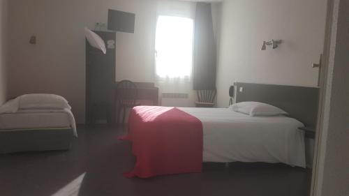
Hotel : Relax Hotel

Set in quiet surroundings, the Relax Hotel is situated in the Rhône-Alpes region, in the village of Maillat. It offers a garden terrace and rooms with free Wi-Fi access. The gu...
Rate : from 50.00 €
to 66.00 €
Address : 239 rue du Clou 01430 Maillat
Distance Hotel - Peyriat : 3.80 km
|
|
|
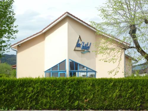
Hotel : Lac'Hotel France
Lac'Hotel is just 3 km from Nantua and 1.4 km from Montreal-la-Cluse Train Station. It offers free Wi-Fi access and soundproofed rooms with a private bathroom. Each room at Lac...
Price : from 56.00 €
to 73.00 €
Contact : 22 Avenue de Bresse 01460 Montréal La Cluse
Distance Hotel - Peyriat : 5.26 km
|
|
|
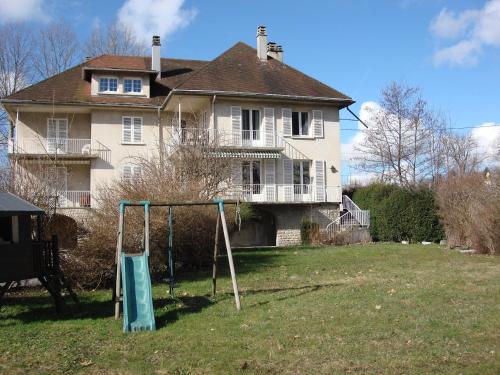
Guest accommodation : Maison Chanteleau
Located in Montréal La Cluse, Maison Chanteleau is a guest house offering views of Nantua Lake with a garden and BBQ facilities. Boat rental is available nearby and the property...
Prices : from 58.00 €
to 85.00 €
Contact : 15 rue du Lyonnais 01460 Montréal La Cluse
Distance Guest accommodation - Peyriat : 5.28 km
|
|
|
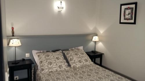
Bed and Breakfast : Chambre d'hôtes La Haie Fleurie
Located in Chevillard just 25 km from the Jura Natural Reserve, Chambre d'hôtes La Haie Fleurie features B&B accommodation sitting in a garden with terrace. Free Wi-Fi and free ...
Rate : from 70.00 €
Contact : 170 Chemin La Haie Fleurie 01430 Chevillard
Distance Bed and Breakfast - Peyriat : 6.41 km
|
|
|
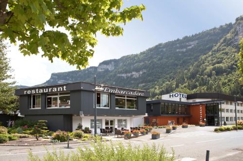
Hotel : Hôtel-Restaurant de l'Embarcadère
Hôtel-Restaurant de l'Embarcadère boasts a perfect location near the centre of Nantua, along the quiet edge of the lake and by the mountains. It offers a garden and free Wi-Fi. ...
Price : from 78.00 €
to 85.00 €
Address : 13 Avenue du Lac, BP 22 01130 Nantua
Distance Hotel - Peyriat : 6.89 km
|
|
|
Apartment : Home Nantua studio meublés Ain-Jura
Located in the centre of Nantua, just 200 metres from its lake, Home Nantua offers self-catering accommodation with modern décor and facilities. Cross-country skiing can be foun...
Prices : from 60.00 €
Contact : 6 rue de l'Hôtel de Ville 01130 Nantua
Distance Apartment - Peyriat : 7.38 km
|
|
|
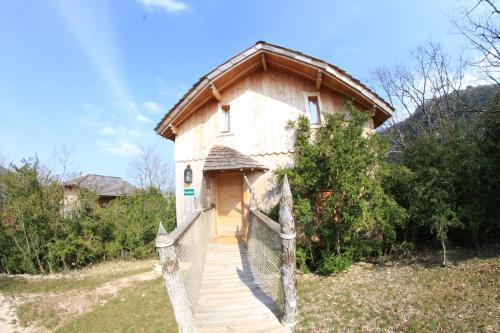
Guest accommodation : Cabanes et Lodges du Belvedere
Situated in Serrières-sur-Ain, Cabanes et Lodges du Belvedere features accommodation with free WiFi and TV. Each unit is equipped with a microwave, fridge, a coffee machine, as...
Contact : Lieu dit "Les Taillets" 01450 Serrières-sur-Ain
Distance Guest accommodation - Peyriat : 7.58 km
|
|
|
Hotel : Hotel De La Croisee
Hotel De La Croisee is set in Poncin and has a terrace and a bar. All rooms feature a flat-screen TV with cable channels and a private bathroom. Free WiFi is provided. A buffet...
Price : from 45.00 €
to 80.00 €
Contact : 9 Place Xavier Bichat 01450 Poncin
Distance Hotel - Peyriat : 10.96 km
|
|
|
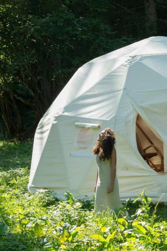
Guest accommodation : Sweetdome
Sweetdome is set in Les Neyrolles. It has garden views and free WiFi. The nearest airport is Chambéry-Savoie Airport, 79 km from the tented camp.
Address : 55 rue des Clairmontelles 01130 Les Neyrolles
Distance Guest accommodation - Peyriat : 11.82 km
|
|
|
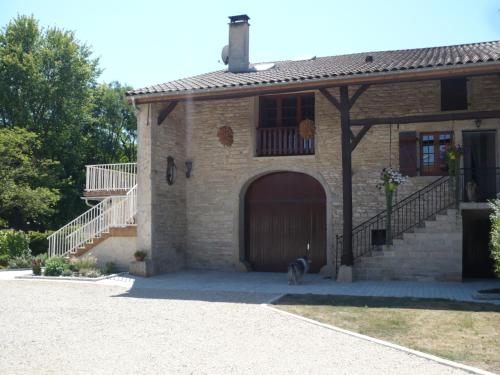
Guest accommodation : Maison Souriau
Offering a terrace and views of the garden, Maison Souriau is a guest house located in Ramasse, 43 km from Mâcon. Free private parking is available on site. Rooms have a privat...
Rate : from 55.00 €
to 95.00 €
Contact : 117 Route De La Fruitière 01250 Ramasse
Distance Guest accommodation - Peyriat : 11.96 km
|
|
Find another hotel near Peyriat : Peyriat hotels list
|
Map of Peyriat
|
|
Map of Peyriat :
At right you can find the localization of Peyriat on the map of France. Below, this is the satellite map of Peyriat. A road map, and maps templates of Peyriat are available here : "road map of Peyriat". This map show Peyriat seen by the satellite of Google Map. To see the streets of Peyriat or move on another zone, use the buttons "zoom" and "map" on top of this dynamic map.
Search on the map of Peyriat :
To search hotels, housings, tourist information office, administrations or other services, use the Google search integrated to the map on the following page : "map Peyriat".
Hotels of Peyriat are listed on the map with the following icons: 
The map of Peyriat is centred in the following coordinates :
|

|
|
|
|
Print the map of Peyriat

Print the map of Peyriat : map of Peyriat
|
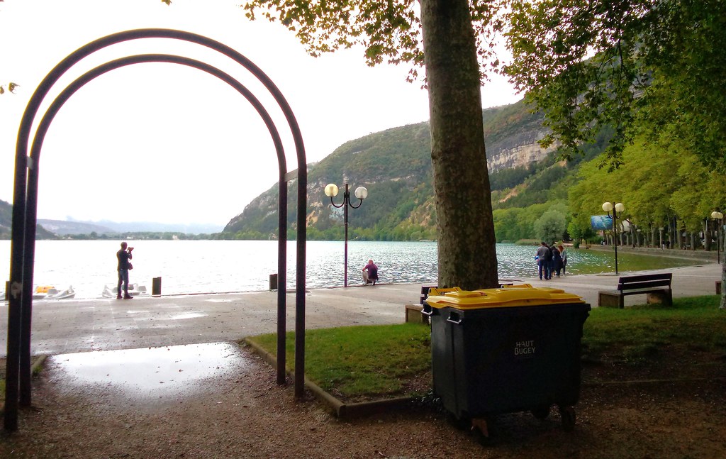
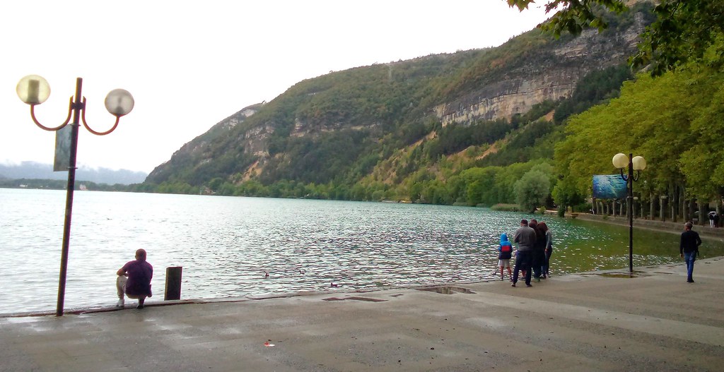
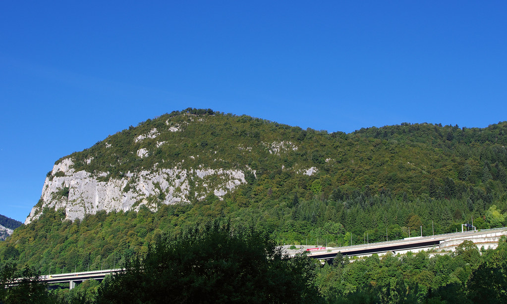
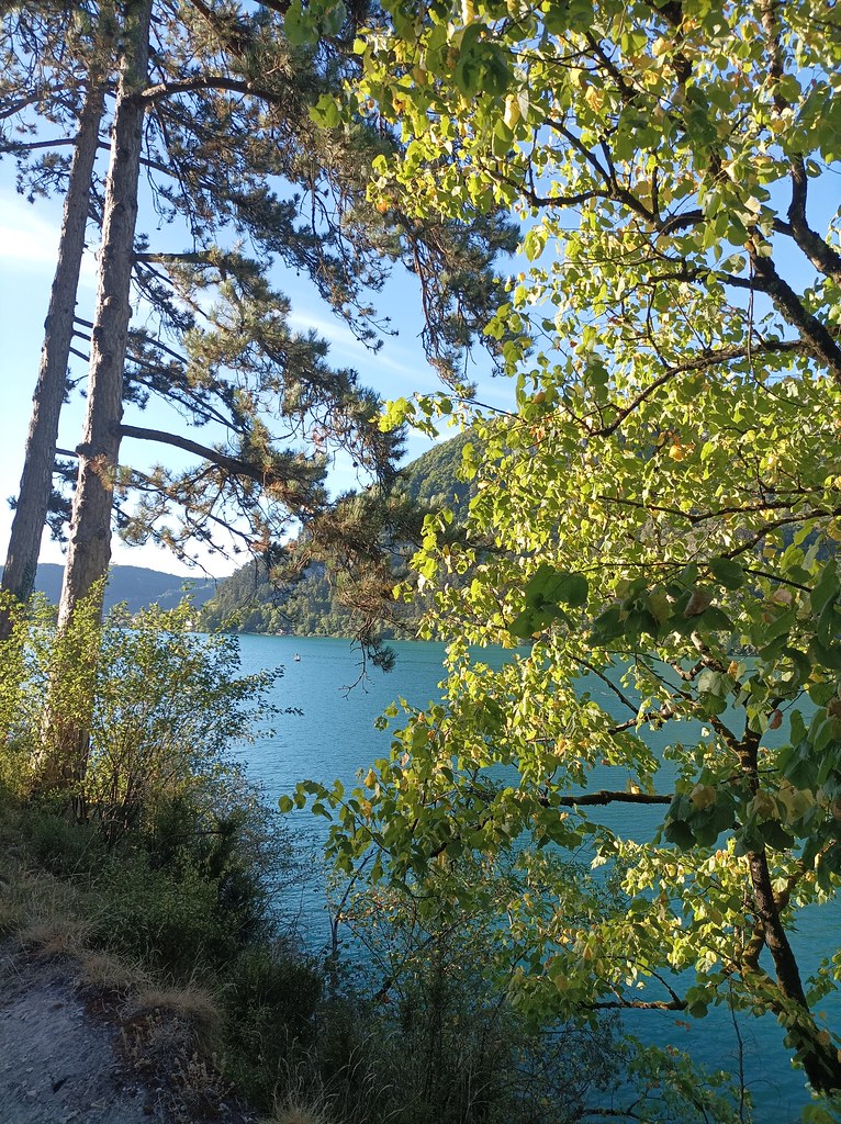
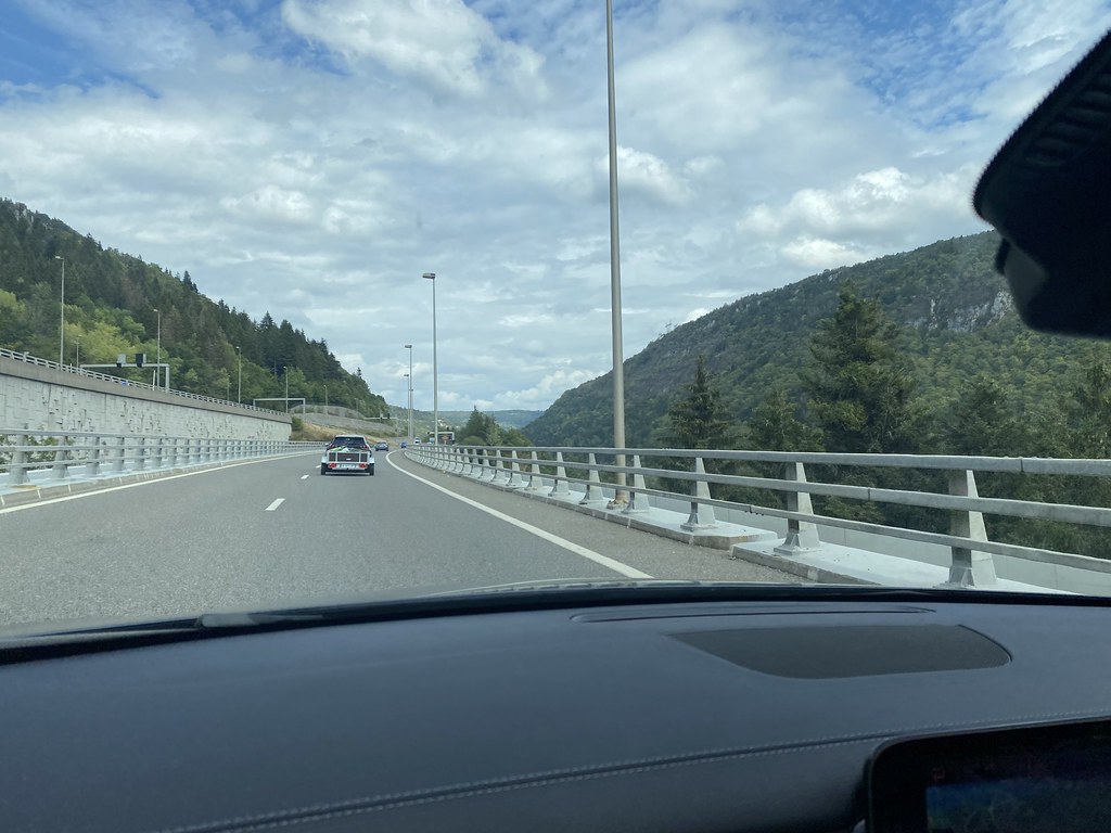
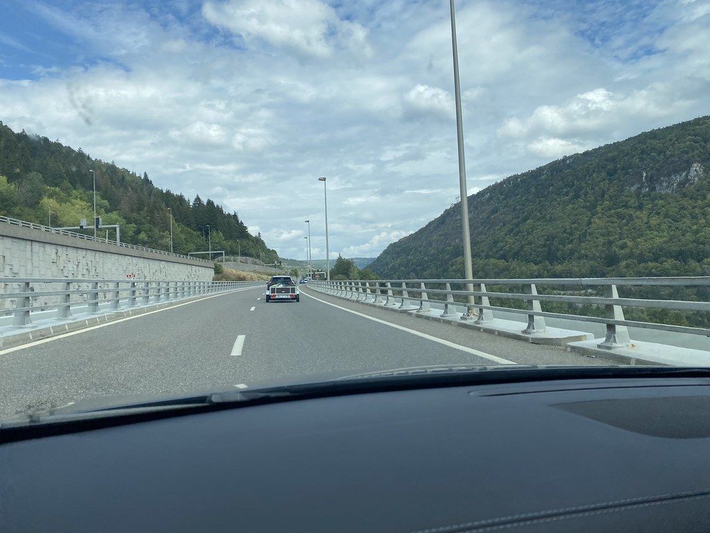
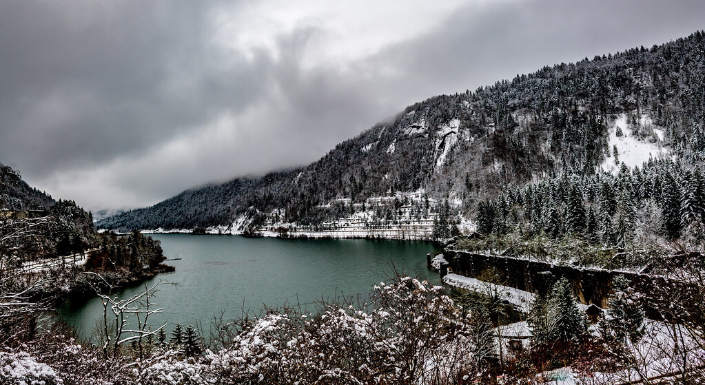
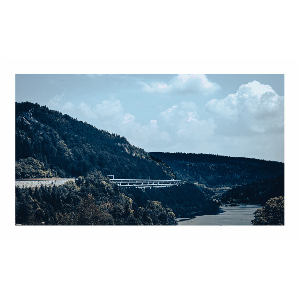
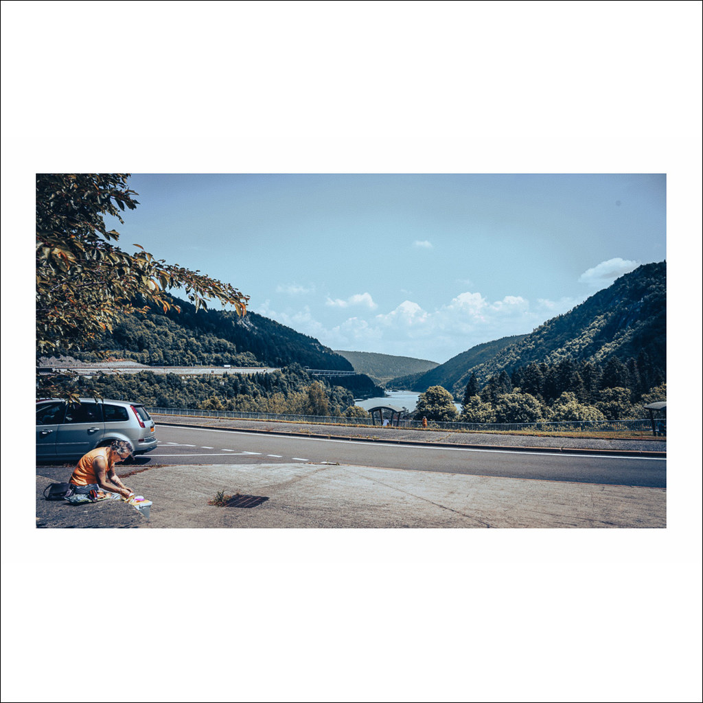
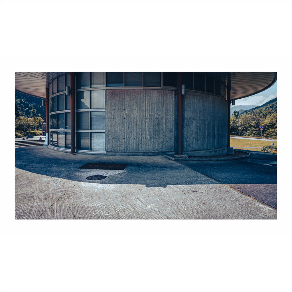
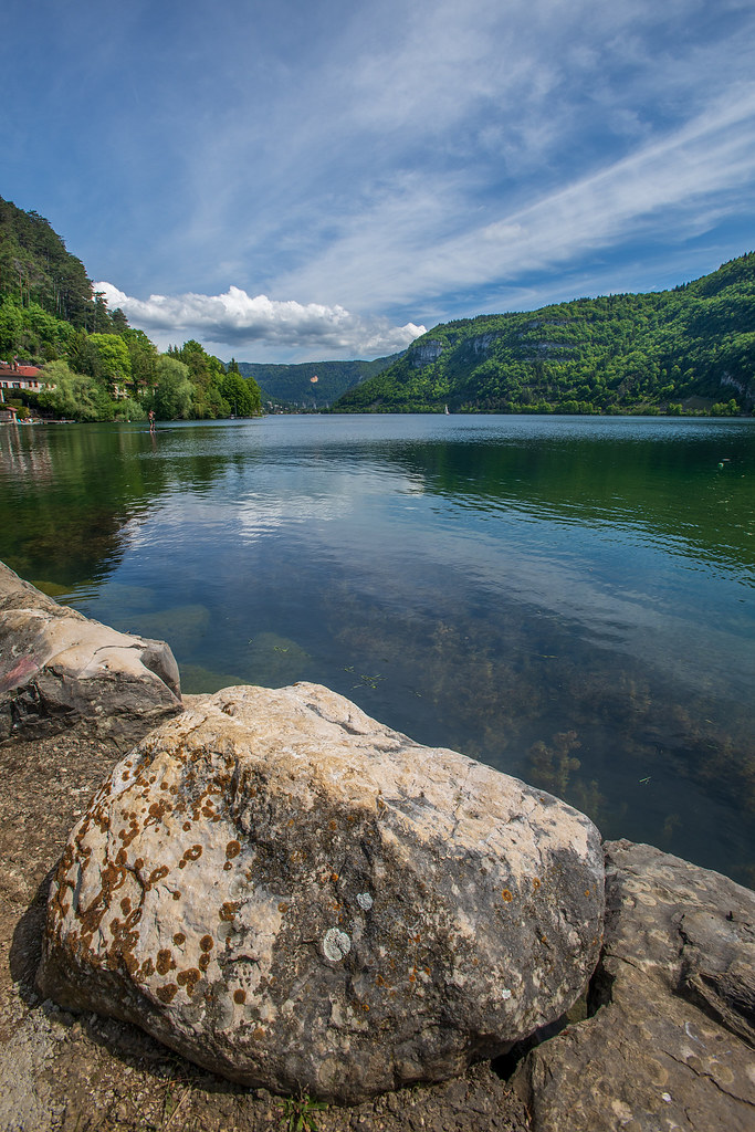
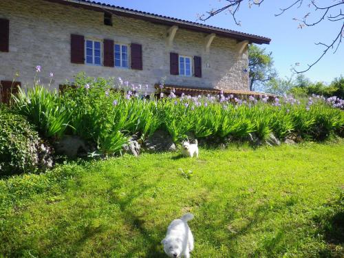
Photos Peyriat
|
See all photos of Peyriat :
Other photos of Peyriat and nearby towns can be found here: photos Peyriat
|
|
Peyriat weather forecast
Find next hours and 7 days weather forecast for Peyriat here : weather Peyriat (with english metrics)
This is the last weather forecast for Peyriat collected by the nearest observation station of Izernore.
Week Forecast:
The latest weather data for Peyriat were collected Wednesday, 24 April 2024 at 09:00 from the nearest observation station of Izernore.
| Wednesday, April 24th |
8°C -0°C
31%
77%
|
Drizzle
Temperature Max: 8°C Temperature Min: -0°C
Precipitation Probability: 31% (Rain)
Percentage of sky occluded by clouds: 77%
Wind speed: 7 km/h South-East
Humidity: 71%° UV Index: 3
Sunrise: 06:35 Sunset: 20:37 |
|
| | Thursday, April 25th |
11°C -0°C
15%
49%
|
Partly cloudy
Temperature Max: 11°C Temperature Min: -0°C
Precipitation Probability: 15% (Rain)
Percentage of sky occluded by clouds: 49%
Wind speed: 6 km/h North-East
Humidity: 64%° UV Index: 4
Sunrise: 06:33 Sunset: 20:39 |
|
| | Friday, April 26th |
11°C 4°C
57%
91%
|
Drizzle
Temperature Max: 11°C Temperature Min: 4°C
Precipitation Probability: 57% (Rain)
Percentage of sky occluded by clouds: 91%
Wind speed: 13 km/h North
Humidity: 79%° UV Index: 3
Sunrise: 06:31 Sunset: 20:40 |
|
| | Saturday, April 27th |
16°C 5°C
42%
85%
|
Mostly cloudy
Temperature Max: 16°C Temperature Min: 5°C
Precipitation Probability: 42% (Rain)
Percentage of sky occluded by clouds: 85%
Wind speed: 11 km/h North
Humidity: 61%° UV Index: 3
Sunrise: 06:30 Sunset: 20:41 |
|
|
Attribution: 
|
|
Other maps, hotels and towns in france
Find another town, zip code, department, region, ...
Quick links Peyriat :
Make a link to this page of Peyriat with the following code :
|
|
|
 French Version : http://www.cartesfrance.fr/carte-france-ville/01293_Peyriat.html