|
The village of Planès is a small village located south of France. The town of Planès is located in the department of Pyrénées-Orientales of the french region Languedoc-Roussillon. The town of Planès is located in the township of Mont-Louis part of the district of Prades. The area code for Planès is 66142 (also known as code INSEE), and the Planès zip code is 66210.
Geography and map of Planès :
The altitude of the city hall of Planès is approximately 1 500 meters. The Planès surface is 14.24 km ². The latitude and longitude of Planès are 42.492 degrees North and 2.14 degrees East.
Nearby cities and towns of Planès are :
Saint-Pierre-dels-Forcats (66210) at 1.70 km, Mont-Louis (66210) at 2.48 km, La Cabanasse (66210) at 2.49 km, Sauto (66210) at 2.51 km, Fontpédrouse (66360) at 4.04 km, La Llagonne (66210) at 4.17 km, Eyne (66800) at 5.12 km, Bolquère (66210) at 5.17 km.
(The distances to these nearby towns of Planès are calculated as the crow flies)
Population and housing of Planès :
The population of Planès was 27 in 1999, 44 in 2006 and 47 in 2007. The population density of Planès is 3.30 inhabitants per km². The number of housing of Planès was 83 in 2007. These homes of Planès consist of 22 main residences, 56 second or occasional homes and 6 vacant homes. |
|
|
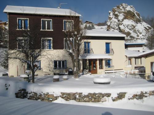
Hotel Planès
|
|
|
Book now ! Best Price Guaranteed, no booking fees, pay at the hotel with our partner Booking.com, leader in online hotel reservation.
Find all hotels of Planès : Hotel Planès
| |
|
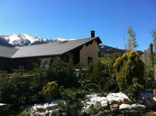
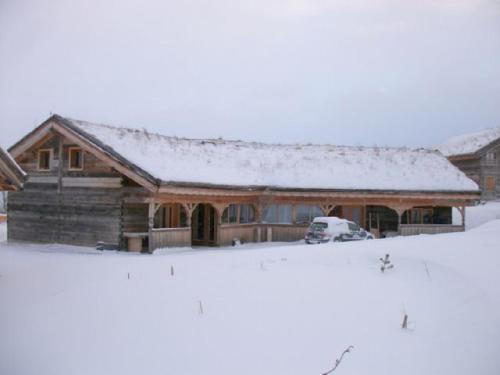
Bed and Breakfast : El Mouli Del Riu
Set in a restored farmhouse El Mouli Del Riu is a B&B located 500 metres from the ski resort. It features a living room with a fireplace, a dining room, a children’s playground ...
Rate : from 75.00 €
Address : El Mouli Del Riu 66210 Saint-Pierre-dels-Forcats
Distance Bed and Breakfast - Planès : 1.54 km
|
|
|
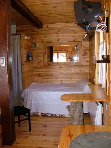
Guest accommodation : Lyshytta
Lyshytta, located in Saint-Pierre-dels-Forçats, 1 km from the Ski Slopes, offers a garden and terrace with outdoor furniture and views of the mountains. With a chalet-style déc...
Contact : Route de Planès s/n 66210 Saint-Pierre-dels-Forcats
Distance Guest accommodation - Planès : 1.56 km
|
|
|
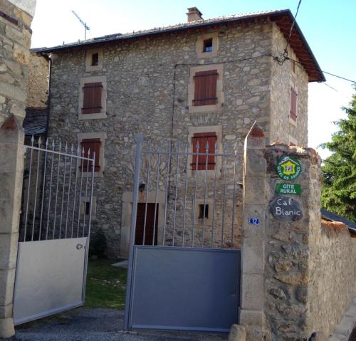
Guest accommodation : Cal blanic
Cal blanic is set in Saint-Pierre-dels-Forcats. Guests staying at this holiday home have access to a fully equipped kitchen. The holiday home comes with a flat-screen TV and a ...
Contact : 12 rue saint pierre 66210 Saint-Pierre-dels-Forcats
Distance Guest accommodation - Planès : 1.76 km
|
|
|
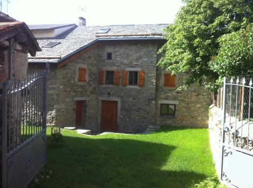
Guest accommodation : Maison De Caractère En Pierre
Maison De Caractère En Pierre offers accommodation in Saint-Pierre-dels-Forcats. The property is 1.1 km from Mouli Ski Lift and features views of the mountains. A flat-screen T...
Contact : 6 Rue De La Coume 66210 Saint-Pierre-dels-Forcats
Distance Guest accommodation - Planès : 1.87 km
|
|
|
Guest accommodation : Ker Carlit

Featuring a garden with a barbecue, Ker Carlit is a chalet located in Saint-Pierre-dels-Forcats, 700 metres from Cambre d'Aze Ski station. Guests benefit from a terrace. This 5...
Address : 13 rue de la jasette 66210 Saint-Pierre-dels-Forcats
Distance Guest accommodation - Planès : 1.87 km
|
|
|
Guest accommodation : Ker Bela
Featuring a garden with a sun terrace, Ker Bela is a chalet located in Saint-Pierre-dels-Forcats, 2 km from Cambre d'Aze ski resort. Guests benefit from terrace. The kitchen co...
Contact : 13 rue de la jasette 66210 Saint-Pierre-dels-Forcats
Distance Guest accommodation - Planès : 1.87 km
|
|
|
Guest accommodation : Ker Cambre
Just 1.5 km from Mouli Ski Lift and 1.6 km from Gentianes, Ker Cambre features accommodation in Saint-Pierre-dels-Forcats, with a garden and a terrace. This chalet provides acco...
Contact : 13 rue de la jasette 66210 Saint-Pierre-dels-Forcats
Distance Guest accommodation - Planès : 1.89 km
|
|
|
Guest accommodation : Ker Puigmal
Complete with barbecue facilities, Ker Puigmal is located in Saint-Pierre-dels-Forcats, 1.5 km from Mouli Ski Lift and 1.6 km from Gentianes. Free WiFi is provided. With direct...
Contact : 13 rue de la jasette 66210 Saint-Pierre-dels-Forcats
Distance Guest accommodation - Planès : 1.90 km
|
|
|
Guest accommodation : Ker Peric
Ker Peric is a property located in Saint-Pierre-dels-Forcats near Mouli Ski Lift. Guests staying at this chalet have access to a fully equipped kitchen and a terrace. The chale...
Address : 13 rue de la jasette 66210 Saint-Pierre-dels-Forcats
Distance Guest accommodation - Planès : 1.91 km
|
|
|
Apartment : studio MONT LOUIS
Studio MONT LOUIS is located in La Cabanasse and offers a garden. Guests staying at this apartment have access to a fully equipped kitchen. The apartment is fitted with a satel...
Contact : 1 Rue Franck Havilland 66210 La Cabanasse
Distance Apartment - Planès : 2.19 km
|
|
Find another hotel near Planès : Planès hotels list
|
Map of Planès
|
|
Map of Planès :
At right you can find the localization of Planès on the map of France. Below, this is the satellite map of Planès. A road map, and maps templates of Planès are available here : "road map of Planès". This map show Planès seen by the satellite of Google Map. To see the streets of Planès or move on another zone, use the buttons "zoom" and "map" on top of this dynamic map.
Search on the map of Planès :
To search hotels, housings, tourist information office, administrations or other services, use the Google search integrated to the map on the following page : "map Planès".
Hotels of Planès are listed on the map with the following icons: 
The map of Planès is centred in the following coordinates :
|

|
|
|
|
Print the map of Planès

Print the map of Planès : map of Planès
|
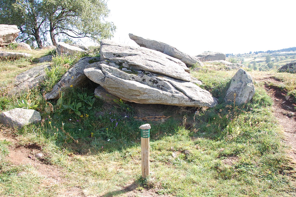
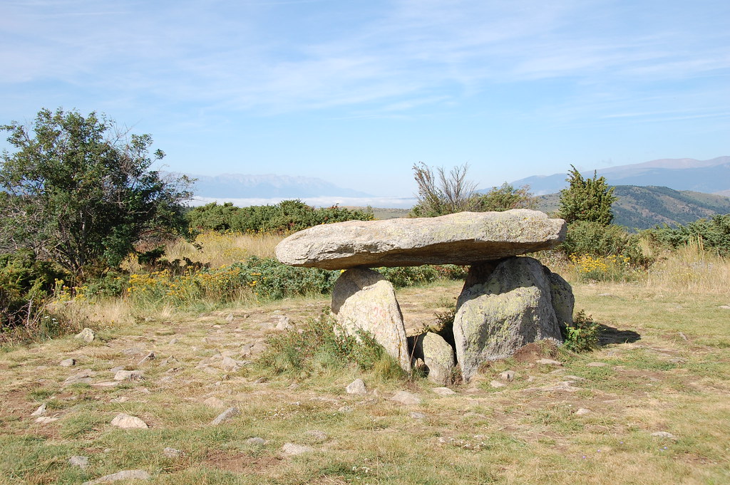
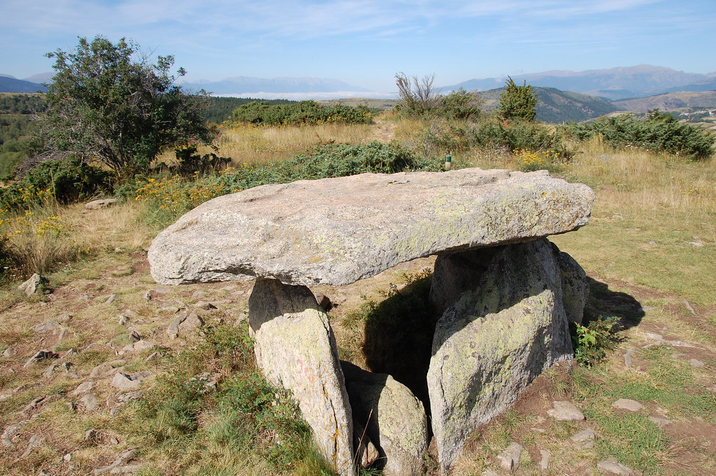
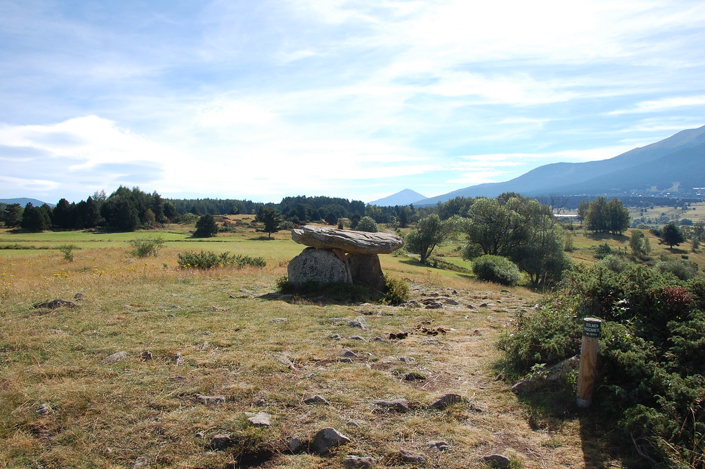
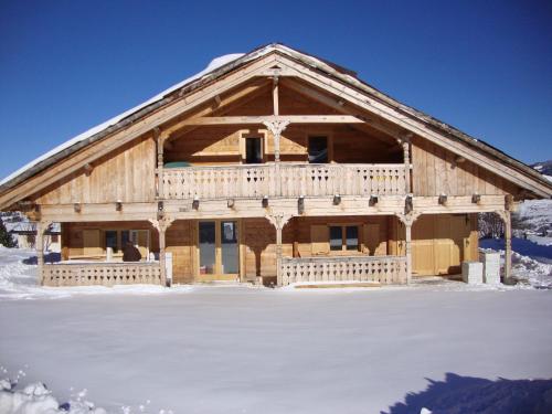
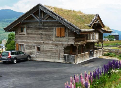
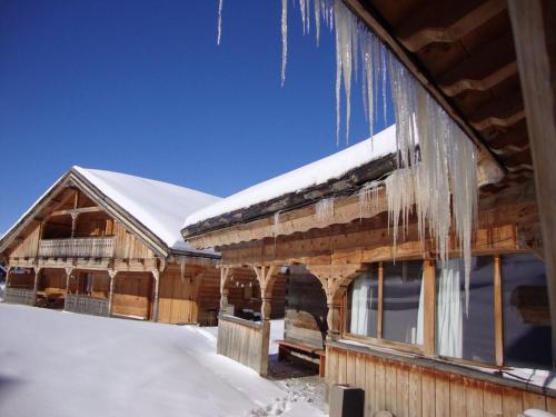
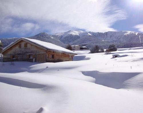
Photos Planès
|
See all photos of Planès :
Other photos of Planès and nearby towns can be found here: photos Planès
|
|
Planès weather forecast
Find next hours and 7 days weather forecast for Planès here : weather Planès (with english metrics)
This is the last weather forecast for Planès collected by the nearest observation station of Mont-Louis.
Week Forecast:
The latest weather data for Planès were collected Tuesday, 23 April 2024 at 09:00 from the nearest observation station of Mont-Louis.
| Tuesday, April 23rd |
2°C -5°C
32%
74%
|
Mostly cloudy
Temperature Max: 2°C Temperature Min: -5°C
Precipitation Probability: 32% (Snow)
Percentage of sky occluded by clouds: 74%
Wind speed: 14 km/h South
Humidity: 61%° UV Index: 4
Sunrise: 06:57 Sunset: 20:43 |
|
| | Wednesday, April 24th |
7°C -5°C
11%
37%
|
Partly cloudy
Temperature Max: 7°C Temperature Min: -5°C
Precipitation Probability: 11% (Snow)
Percentage of sky occluded by clouds: 37%
Wind speed: 11 km/h South-East
Humidity: 51%° UV Index: 5
Sunrise: 06:55 Sunset: 20:44 |
|
| | Thursday, April 25th |
8°C -1°C
30%
79%
|
Rain
Temperature Max: 8°C Temperature Min: -1°C
Precipitation Probability: 30% (Rain)
Percentage of sky occluded by clouds: 79%
Wind speed: 4 km/h South
Humidity: 60%° UV Index: 4
Sunrise: 06:54 Sunset: 20:45 |
|
| | Friday, April 26th |
7°C 0°C
52%
88%
|
Drizzle
Temperature Max: 7°C Temperature Min: 0°C
Precipitation Probability: 52% (Rain)
Percentage of sky occluded by clouds: 88%
Wind speed: 8 km/h North-East
Humidity: 66%° UV Index: 4
Sunrise: 06:53 Sunset: 20:46 |
|
|
Attribution: 
|
|
Other maps, hotels and towns in france
Find another town, zip code, department, region, ...
Quick links Planès :
Make a link to this page of Planès with the following code :
|
|
|
 French Version : http://www.cartesfrance.fr/carte-france-ville/66142_Planes.html