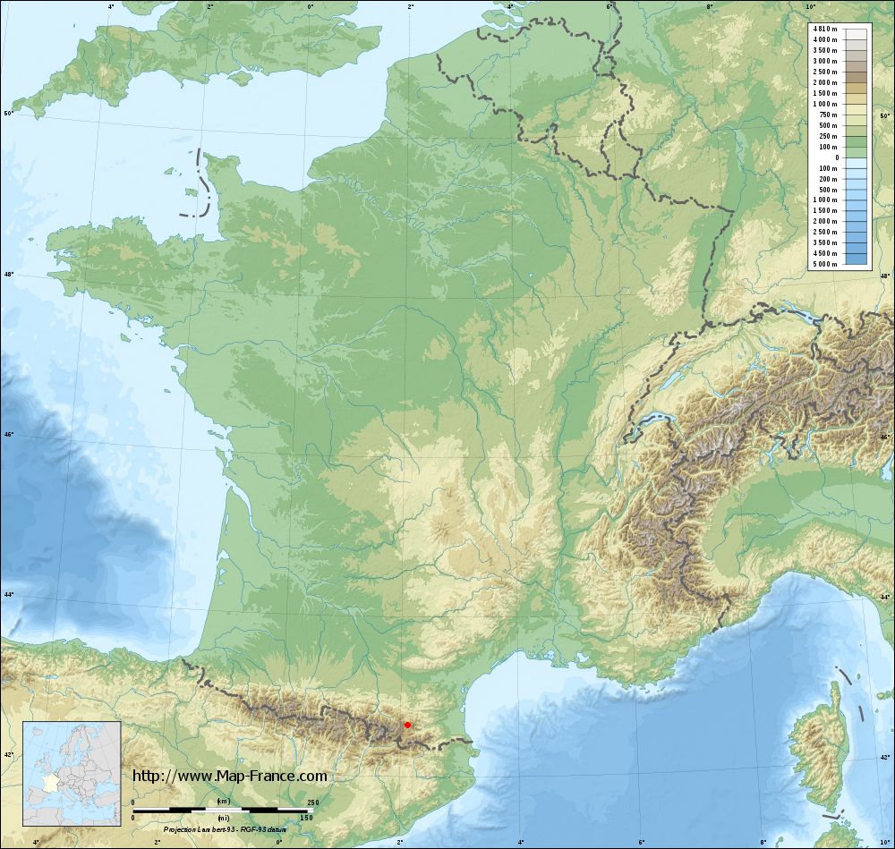
Puyvalador on the relief France map in Lambert 93 coordinates
|

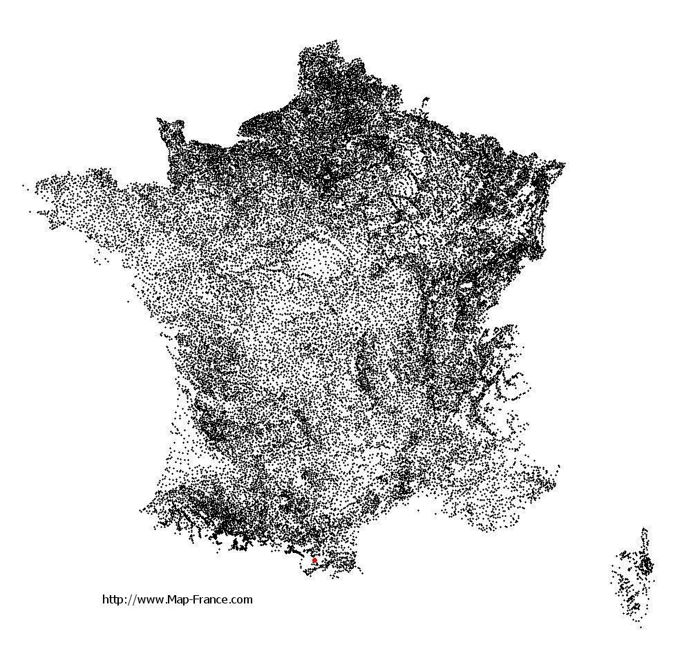
See the map of Puyvalador in full screen (1000 x 949)
|
At left, here is the location of Puyvalador on the relief France map in Lambert 93 coordinates.
Here are the altitudes of Puyvalador :
- Town hall altitude of Puyvalador is 1 497 meters
- Minimum altitude of Puyvalador is 1 351 meters
- Maximum altitude of Puyvalador is 2 363 meters
- Medium altitude of Puyvalador is 1 857 meters
Here are the altitudes of Perpignan, prefecture of Pyrénées-Orientales department:
- Town hall altitude of Perpignan is 40 meters
- Minimum altitude of Perpignan is 8 meters
- Maximum altitude of Perpignan is 95 meters
- Medium altitude of Perpignan is 52 meters
Here are the altitudes of the french biggest cities:
Paris : 33 meters
Marseille : 20 meters
Lyon : 237 meters
Toulouse : 146 meters
Nice : 10 meters
Nantes : 20 meters
Strasbourg : 144 meters
Montpellier : 35 meters
Bordeaux : 16 meters
Lille : 20 meters
Rennes : 35 meters
Reims : 83 meters
Click here for the terrain map of Puyvalador in full screen:
Relief map of Puyvalador
|
This relief map of Puyvalador is reusable and modifiable by making a link to this page of the Map-France.com website or by using the given code :
|
Terrain base map of Puyvalador
|
See the terrain base map of Puyvalador in full screen (1000 x 949)
|
Small relief base map of Puyvalador

|
This base map of Puyvalador is reusable and modifiable by making a link to this page of the Map-France.com website or by using the given code :
|
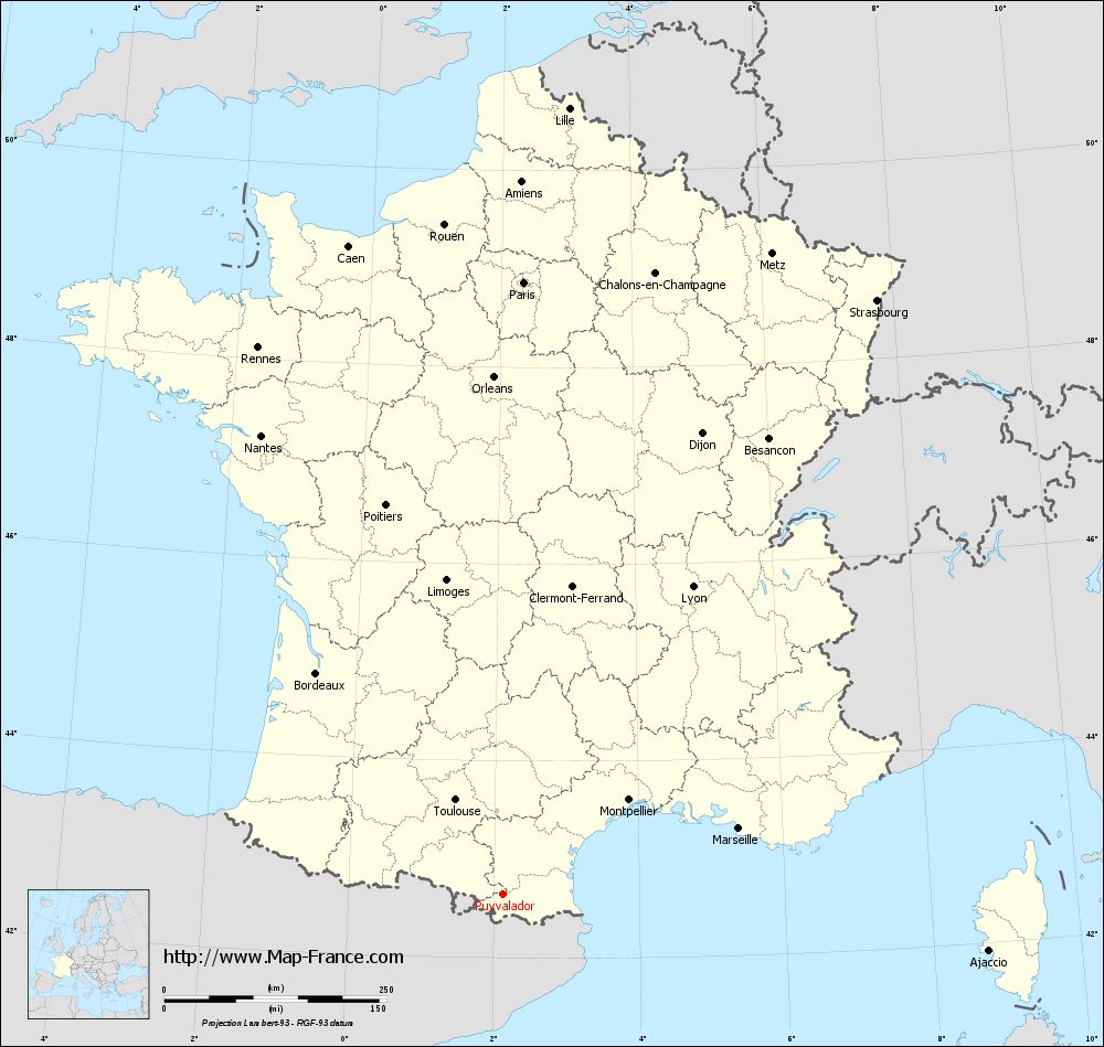
Map of Puyvalador with regions and prefectures
|
View the map of Puyvalador in full screen (1000 x 949)
|
You will find the location of Puyvalador on the map of France of regions in Lambert 93 coordinates. The town of Puyvalador is located in the department of Pyrénées-Orientales of the french region Languedoc-Roussillon.
Geographical sexagesimal coordinates / GPS (WGS84):
Latitude: 42° 38' 47'' North
Longitude: 02° 07' 11'' East
Geographical decimal coordinates :
Latitude: 42.647 degrees (42.647° North)
Longitude: 2.121 degrees (2.121° East)
Lambert 93 coordinates :
X: 6 277 hectometers
Y: 61 723 hectometers
Lambert 2 coordinates :
X: 5 822 hectometers
Y: 17 381 hectometers
Below, the geographical coordinates of Perpignan, prefecture of the Pyrénées-Orientales department:
Geographical sexagesimal coordinates / GPS (WGS84):
Latitude: 42° 41' 51'' North
Longitude: 02° 53' 41'' East
Geographical decimal coordinates :
Latitude: 42.698 degrees (42.698° North)
Longitude: 2.893 degrees (2.893° East)
Lambert 93 coordinates :
X: 6 914 hectometers
Y: 61 776 hectometers
Lambert 2 coordinates :
X: 6 459 hectometers
Y: 17 440 hectometers
|
This map of Puyvalador is reusable and modifiable by making a link to this page of the Map-France.com website or by using the given code :
|
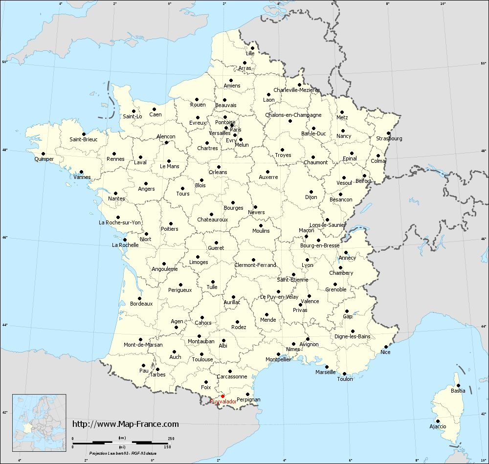
Map of Puyvalador with departments and prefectures
|
Voir la carte of Puyvalador en grand format (1000 x 949)
|
Here is the localization of Puyvalador on the France map of departments in Lambert 93 coordinates. The city of Puyvalador is shown on the map by a red point.
The town of Puyvalador is located in the department of Pyrénées-Orientales of the french region Languedoc-Roussillon.
The latitude of Puyvalador is 42.647 degrees North.
The longitude of Puyvalador is 2.121 degrees East.
Here the distance between Puyvalador and the biggest cities of France:
Distances are calculated as the crow flies (orthodromic distance)
Distance between Puyvalador and Paris : 690.56 kilometers
Distance between Puyvalador and Marseille : 276.12 kilometers
Distance between Puyvalador and Lyon : 407.74 kilometers
Distance between Puyvalador and Toulouse : 118.98 kilometers
Distance between Puyvalador and Nice : 432.78 kilometers
Distance between Puyvalador and Nantes : 584.26 kilometers
Distance between Puyvalador and Strasbourg : 791.27 kilometers
Distance between Puyvalador and Montpellier : 177.82 kilometers
Distance between Puyvalador and Bordeaux : 326.04 kilometers
Distance between Puyvalador and Lille : 889.47 kilometers
Distance between Puyvalador and Rennes : 675.11 kilometers
Distance between Puyvalador and Reims : 749.09 kilometers
Clic here to see the map of Puyvalador in full screen:
Puyvalador on the map of french departments
|
This administrative map of Puyvalador is reusable and modifiable by making a link to this page of the Map-France.com website or by using the given code :
|
Administrative base maps of Puyvalador
|

See the administrative base map of Puyvalador in full screen (1000 x 949)
|
Small administrative base map of Puyvalador

|
This base map administrative of Puyvalador is reusable and modifiable by making a link to this page of the Map-France.com website or by using the given code :
|
 French Version : http://www.cartesfrance.fr